

© Bregenzerwald Tourismus - Conny Kriegner

© Bregenzerwald Tourismus - Conny Kriegner

© Bregenzerwald Tourismus - Conny Kriegner

© Bregenzerwald Tourismus - Conny Kriegner

© Bregenzerwald Tourismus - Conny Kriegner

© Bregenzerwald Tourismus - Cornelia Kriegner

© KäseStrasse Bregenzerwald - Familie Metzler

© Alpe Uga - Familie Metzler

- Kratak opis
-
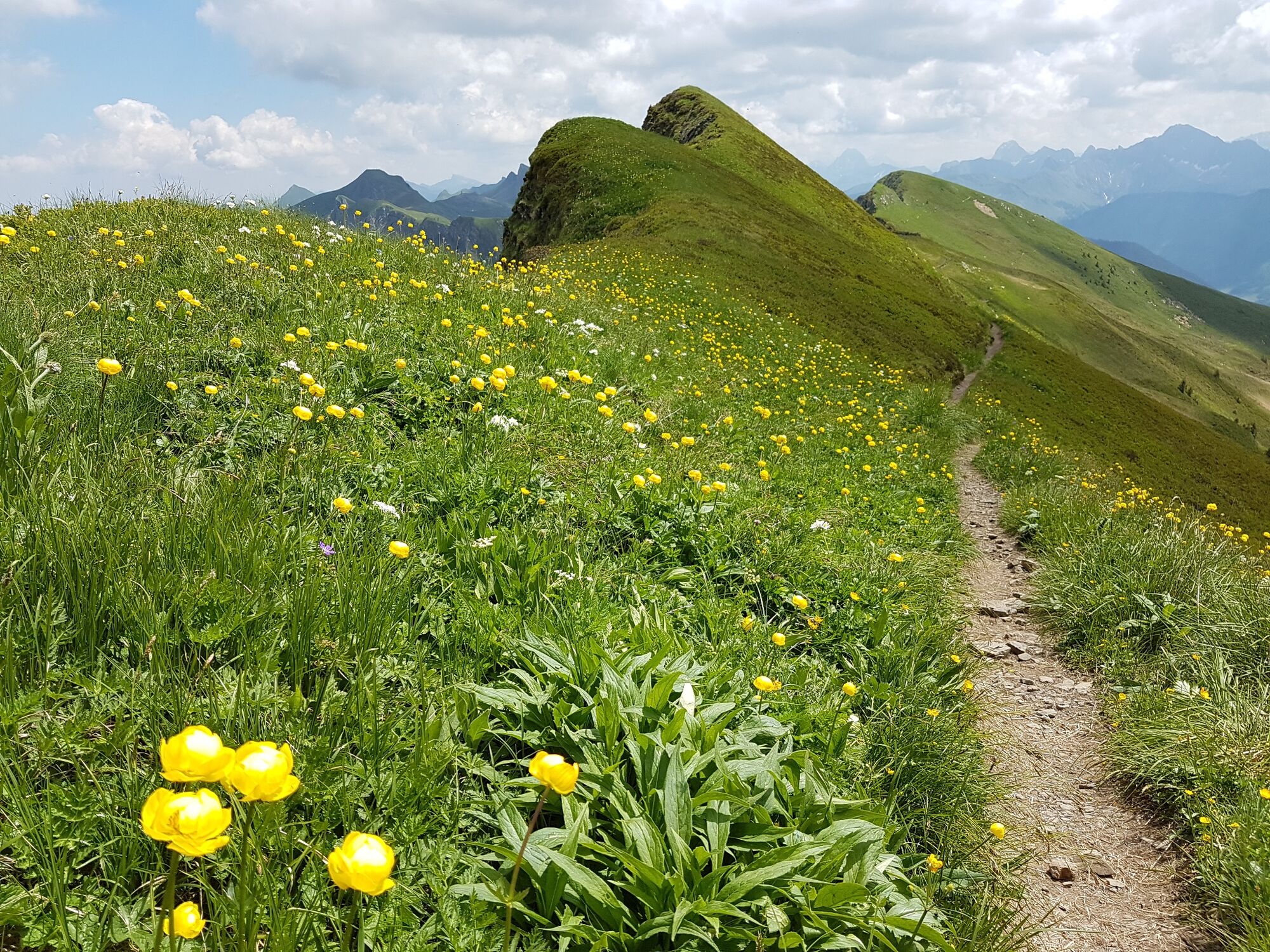
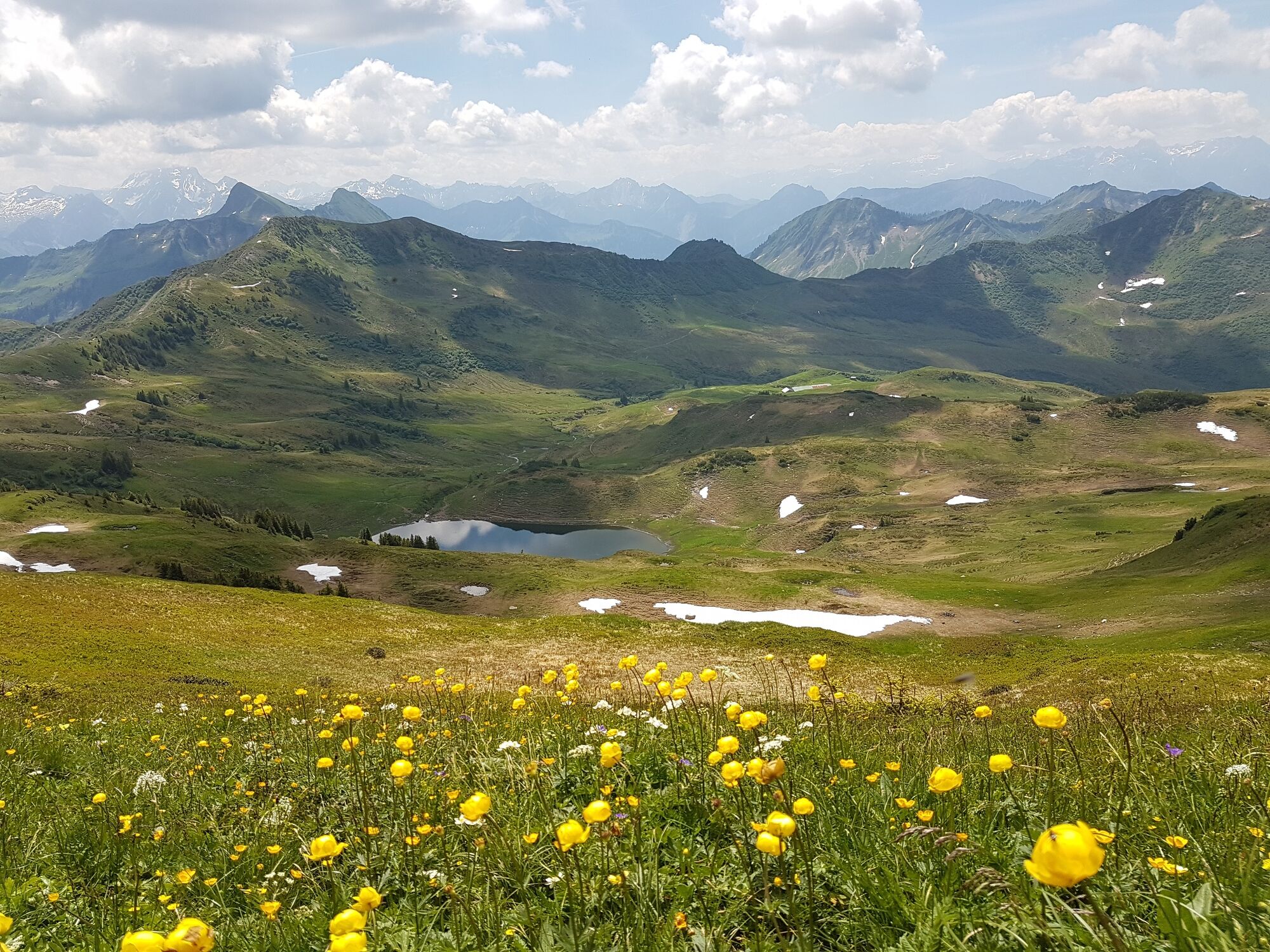
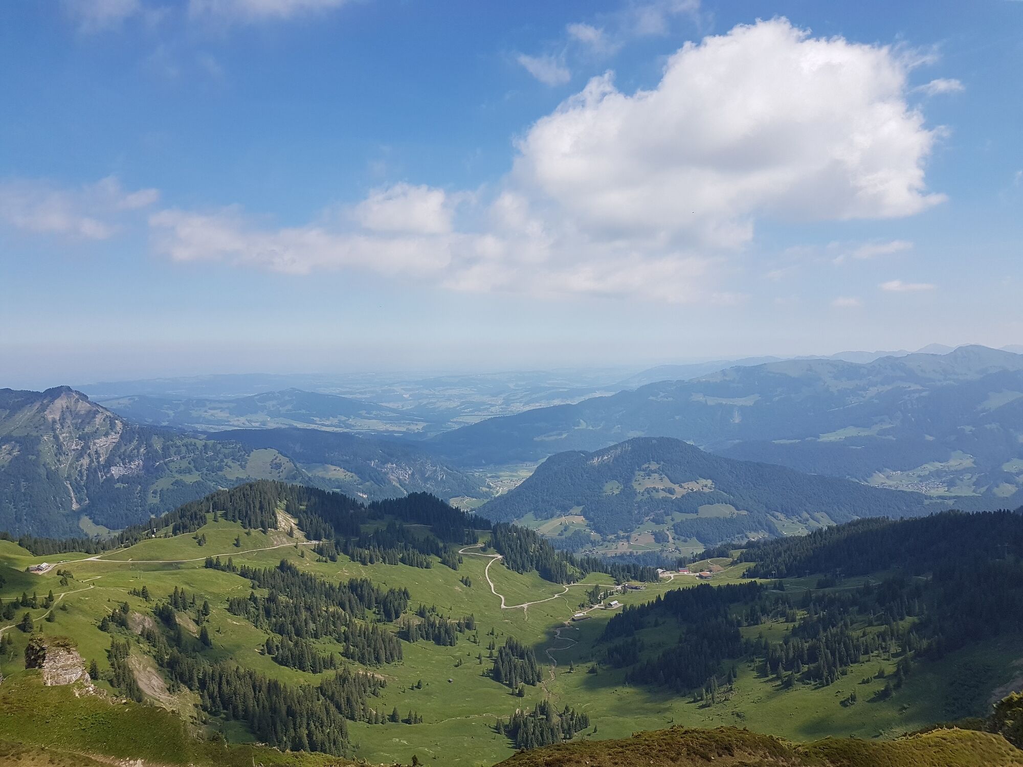
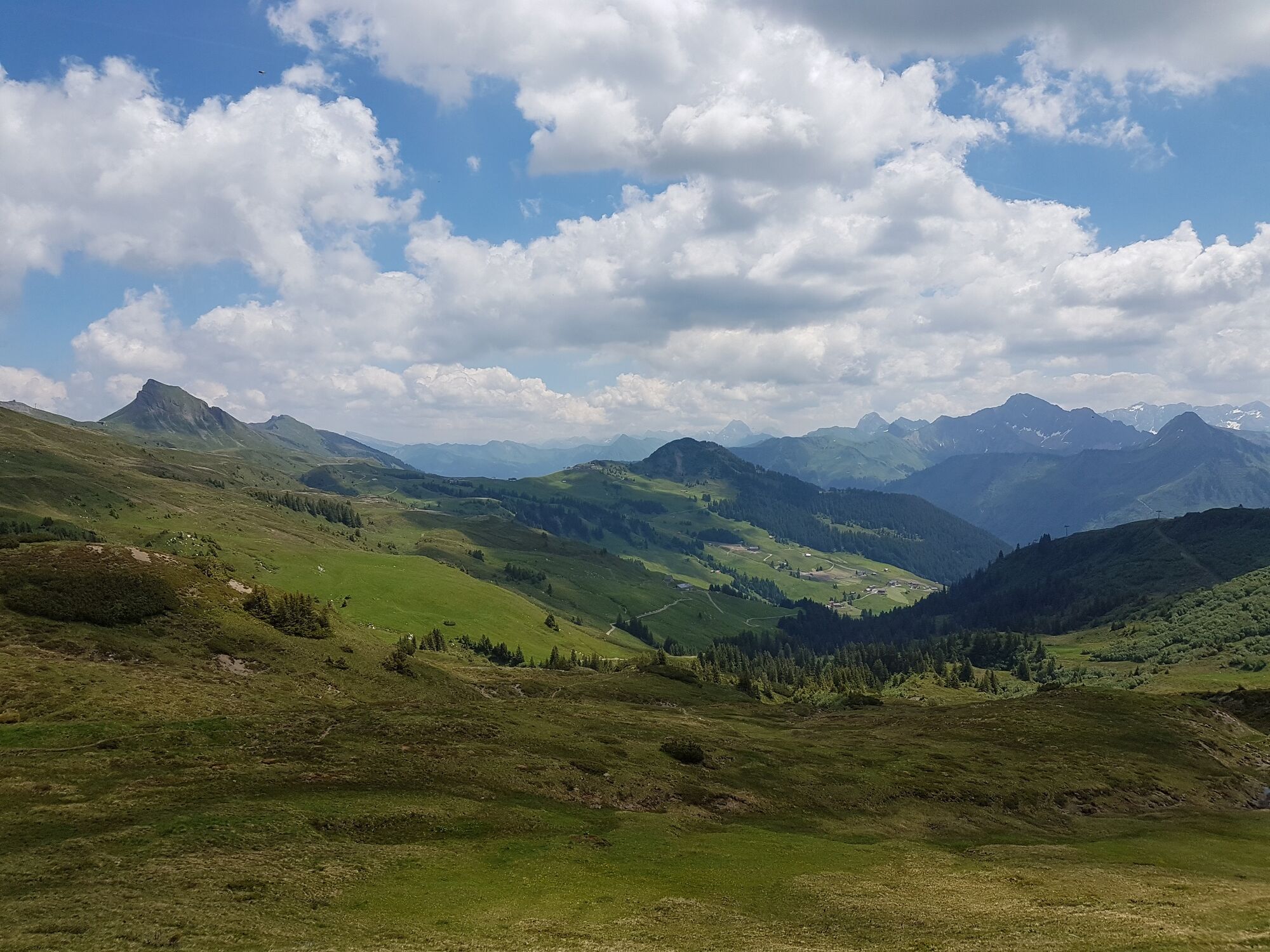
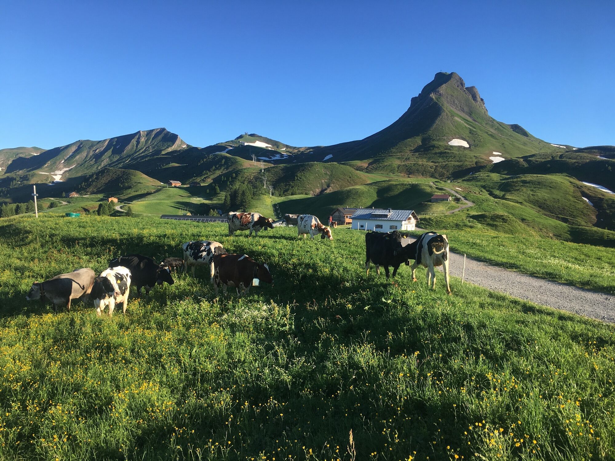
Very attractive hike in the mountains of the Bregenzerwald.
- Teškoća
-
lagano
- Vrednovanje
-
- Wegverlauf
-
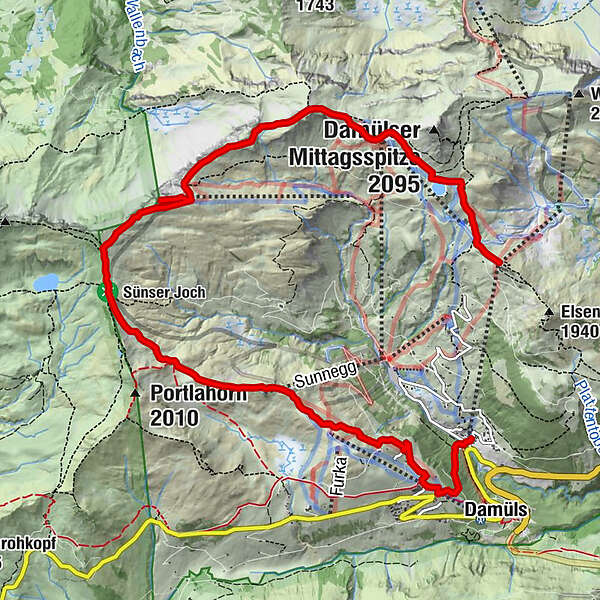
Vordere Ugaalpe0,2 kmUga Alp0,4 kmAlpe Uga0,5 kmHohes Licht (2.003 m)2,0 kmHochblanken (2.068 m)2,5 kmRagazer Blanken (2.051 m)4,4 kmDamüls (1.423 m)10,3 km
- Beste Jahreszeit
-
sijveljožutrasvilipsrpkolrujlisstupro
- Höchster Punkt
- 2.031 m
- Zielpunkt
-
Damüls cable car station
- Höhenprofil
-


- Autor
-
Die Tour Damüls | Damüls circular tour wird von outdooractive.com bereitgestellt.
GPS Downloads


Opće informacije
Einkehrmöglichkeit
Aussichtsreich
Weitere Touren in den Regionen
-
St. Gallen - Bodensee
2066
-
Biosphärenpark Großes Walsertal
2006
-
Damüls
576


