

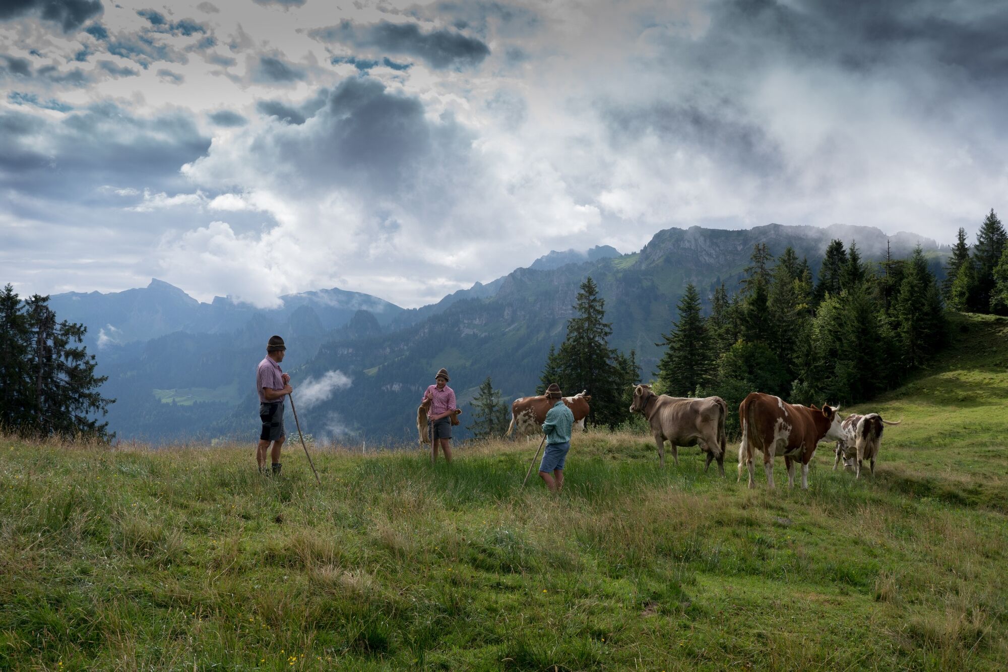
© KäseStrasse Bregenzerwald - Ludwig Berchtold

- Kratak opis
-
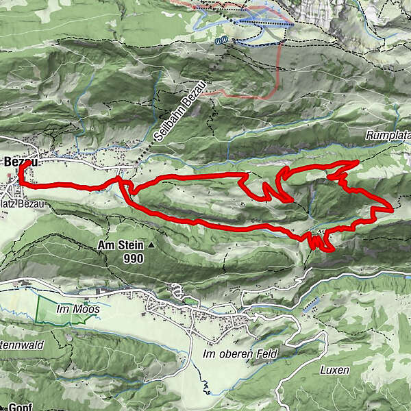
Schöne Wanderung über die Parzelle Fegg und das Seefluhvorsäß.
- Teškoća
-
teška
- Vrednovanje
-
- Wegverlauf
-
St. Jodokkirche0,0 kmGasthof Hirschen0,1 kmBezau0,1 kmKlosterkirche Bezau0,1 kmObere1,6 kmSandriese1,7 kmFegg3,6 kmRimsgrund11,5 kmSandriese13,2 kmObere13,2 kmBezau14,6 kmKlosterkirche Bezau14,7 kmGasthof Hirschen14,7 kmSt. Jodokkirche14,8 kmGasthof Engel14,8 km
- Beste Jahreszeit
-
sijveljožutrasvilipsrpkolrujlisstupro
- Höchster Punkt
- 1.377 m
- Zielpunkt
-
Dorfplatz Bezau
- Höhenprofil
-

- Autor
-
Die Tour Bezau | Rundweg Seefluh wird von outdooractive.com bereitgestellt.
GPS Downloads


Opće informacije
Geheimtipp
Aussichtsreich
Weitere Touren in den Regionen
-
Bodensee - Deutschland
1105
-
Bregenzerwald
2295
-
Bizau
627


