


- Kratak opis
-
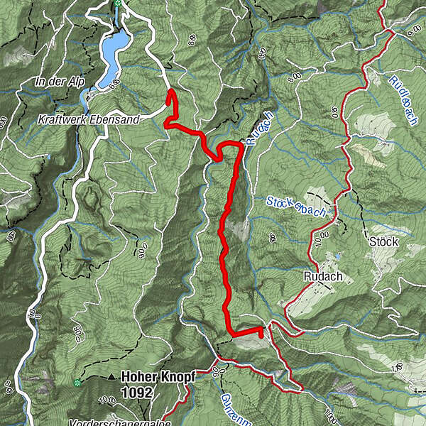
Niedere - Durchstich - Metzgers Köbele - Kobelalpe
- Teškoća
-
lagano
- Vrednovanje
-
- Wegverlauf
-
Holdereggen0,9 kmKobelalp2,4 km
- Beste Jahreszeit
-
sijveljožutrasvilipsrpkolrujlisstupro
- Höchster Punkt
- 977 m
- Zielpunkt
-
Kobelalpe
- Höhenprofil
-


- Autor
-
Die Tour Kobelalpe (Niedere - Metzgers Köbele - Kobel) wird von outdooractive.com bereitgestellt.
GPS Downloads


Opće informacije
Einkehrmöglichkeit
Aussichtsreich
Weitere Touren in den Regionen
-
St. Gallen - Bodensee
2064
-
Bodensee - Vorarlberg
1315
-
Dornbirn
447


