

© Warth-Schröcken Tourismus - Ratko Medienagentur

© Bregenzerwald Tourismus - Ludwig Berchtold

© Warth-Schröcken Tourismus - Günter Drexel

- Kratak opis
-
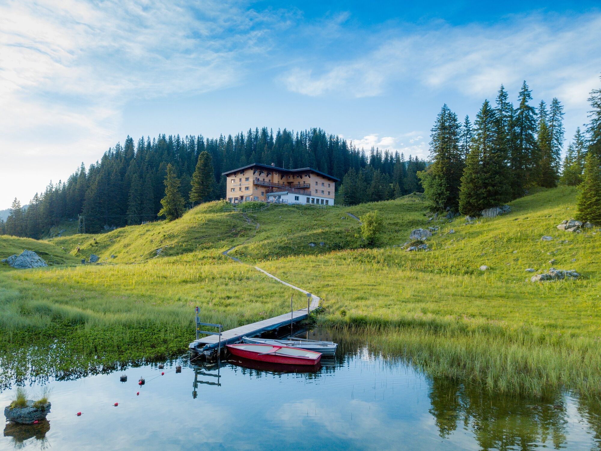
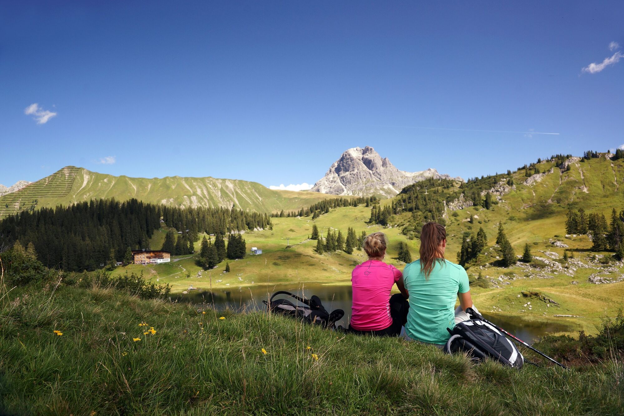
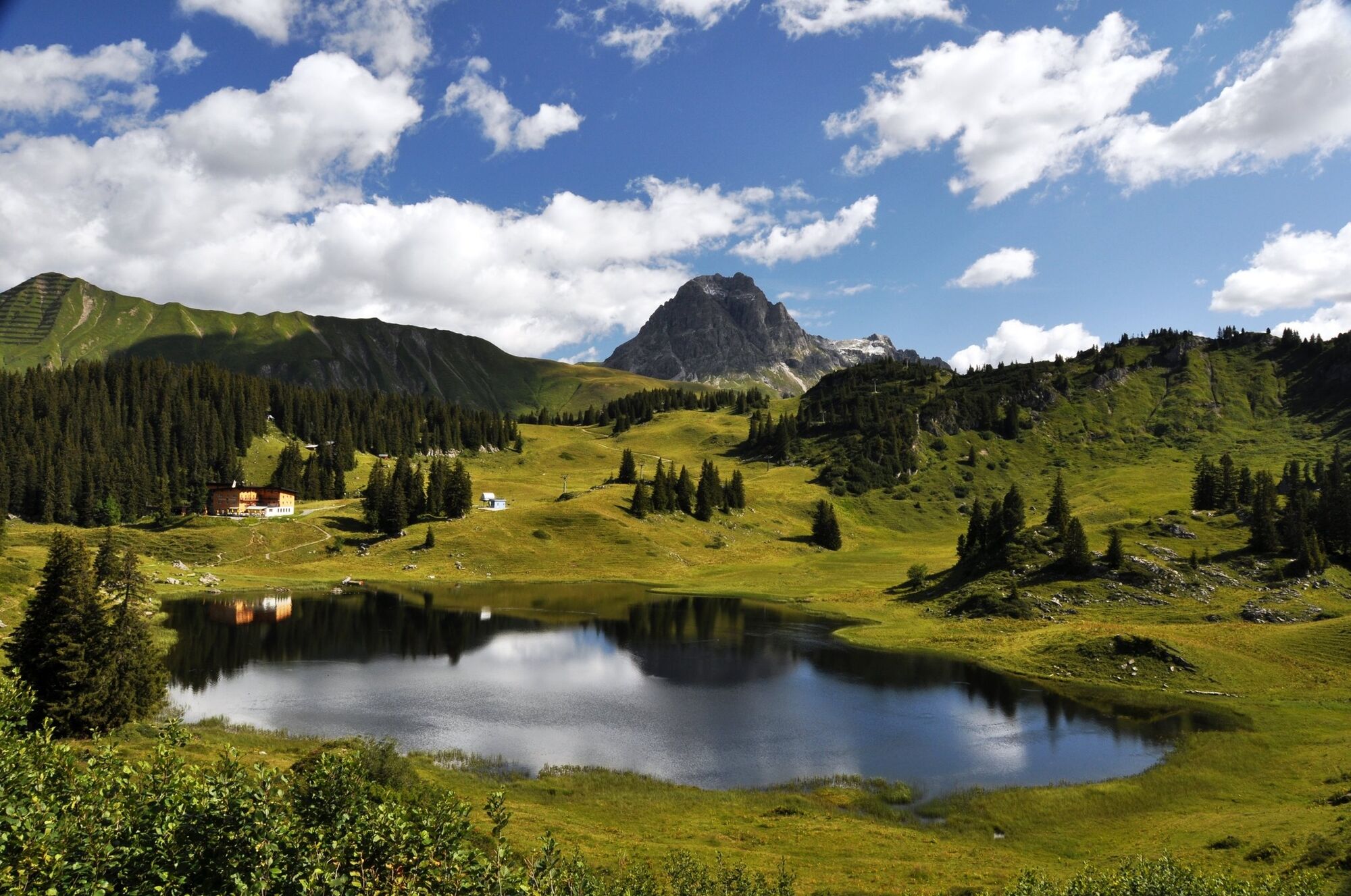
This hike follows the trail of the Walsers as far as the idyllic Körbersee and further to the Kalbelesee.
- Teškoća
-
srednje
- Vrednovanje
-
- Wegverlauf
-
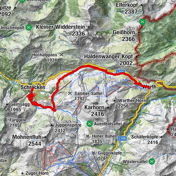
TannbergSchröcken (1.269 m)0,0 kmMaterialseilbahn Körbersee0,1 kmHochkrumbach8,8 kmSennkuchl9,2 kmJägeralpe9,2 kmHolzbodenalpe9,9 kmWolfegg11,4 kmPfarrkirche St. Sebastian12,3 kmWarth (1.495 m)12,5 km
- Beste Jahreszeit
-
sijveljožutrasvilipsrpkolrujlisstupro
- Höchster Punkt
- 1.740 m
- Zielpunkt
-
Warth
- Höhenprofil
-

- Autor
-
Die Tour Warth-Schröcken | on the trail of the Walsers wird von outdooractive.com bereitgestellt.
GPS Downloads


Opće informacije
Einkehrmöglichkeit
Kulturell/Historisch
Aussichtsreich
Weitere Touren in den Regionen


