
© Alpenregion Bludenz Tourismus GmbH - Melanie Fleisch

© Alpenregion Bludenz Tourismus GmbH - Melanie Fleisch

© Alpenregion Bludenz Tourismus GmbH - Melanie Fleisch

© Alpenregion Bludenz Tourismus GmbH - Melanie Fleisch

© Alpenregion Bludenz Tourismus GmbH - Melanie Fleisch

© Alpenregion Bludenz Tourismus GmbH - Melanie Fleisch

© Alpenregion Bludenz Tourismus GmbH - Melanie Fleisch

© Alpenregion Bludenz Tourismus GmbH - Melanie Fleisch

© Alpenregion Bludenz Tourismus GmbH - Melanie Fleisch

© Vorarlberg Tourismus GmbH
- Kratak opis
-
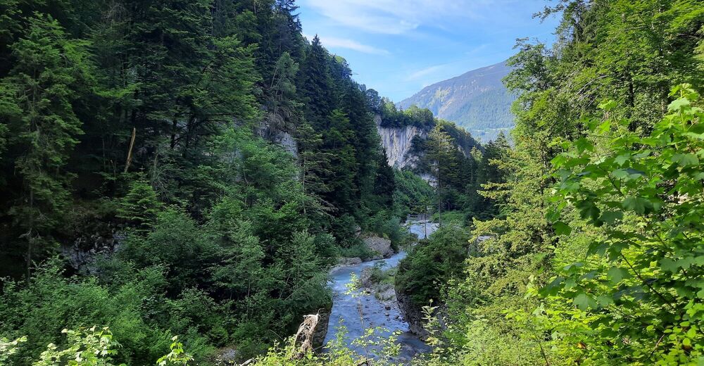
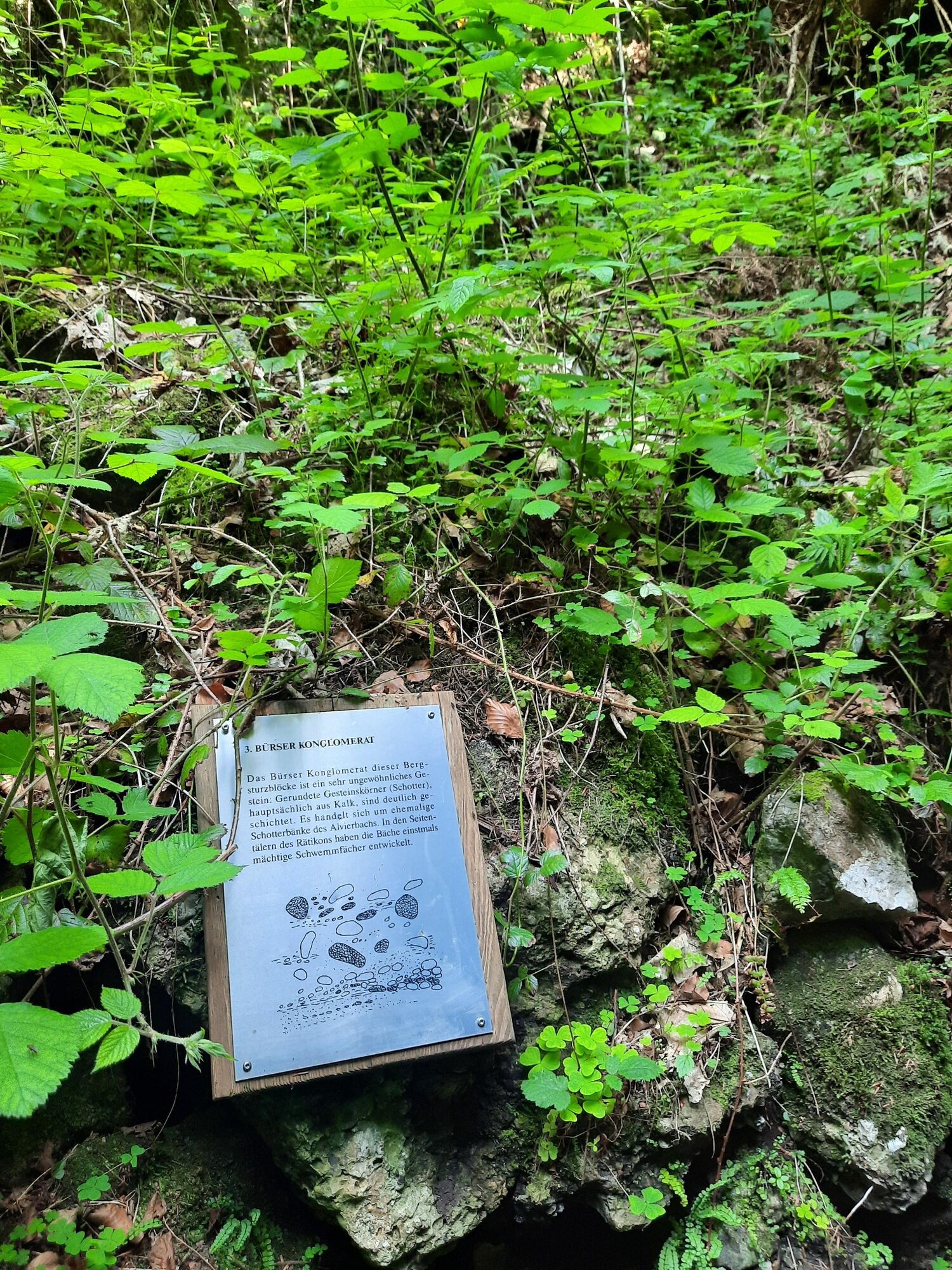
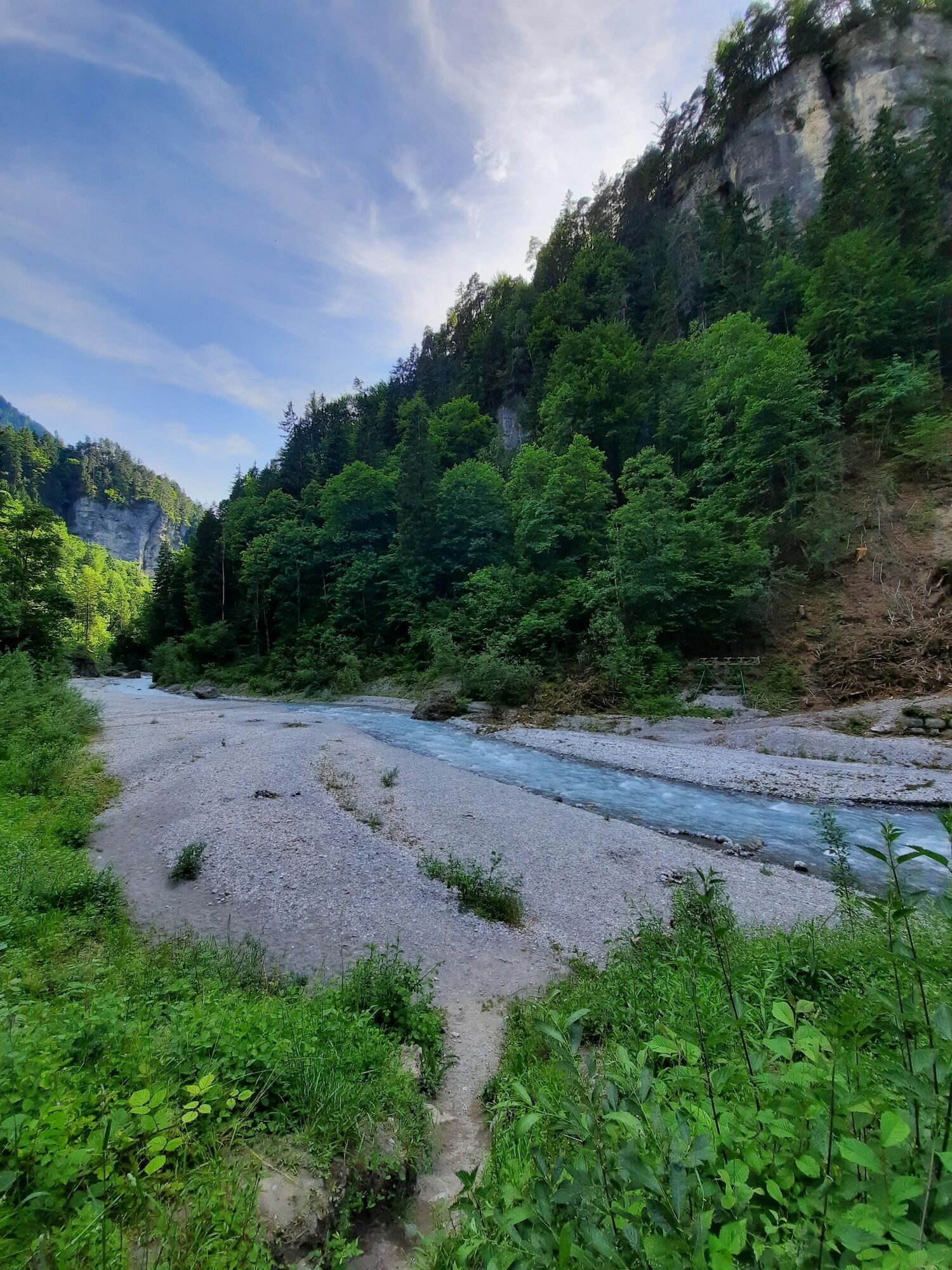
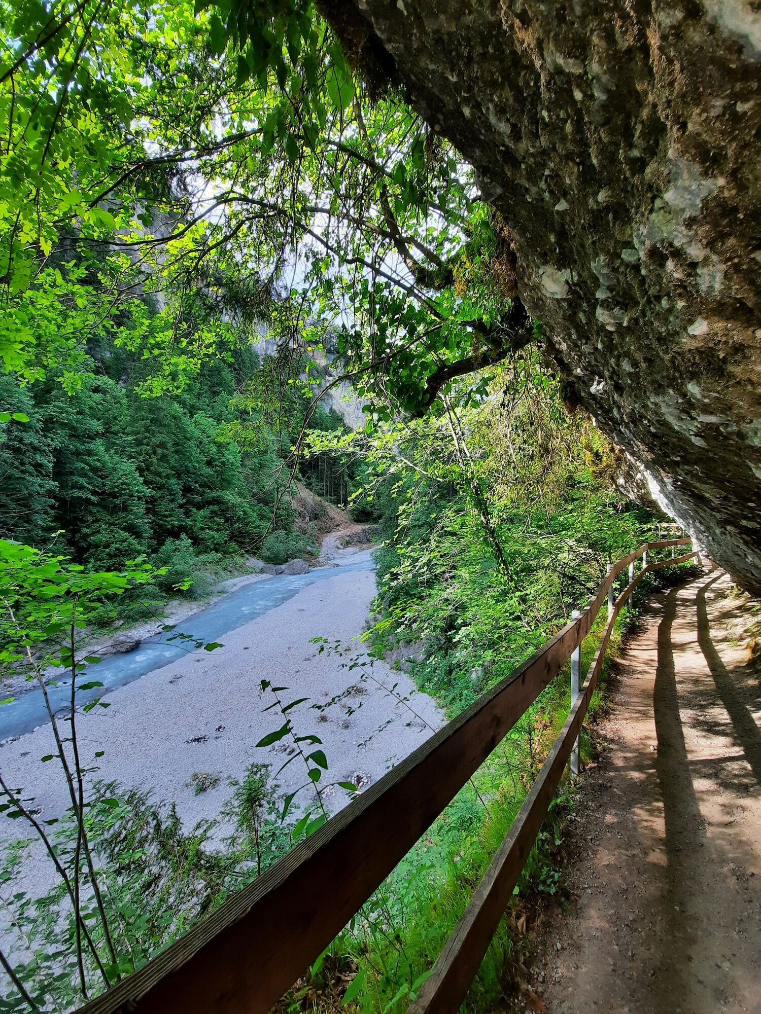
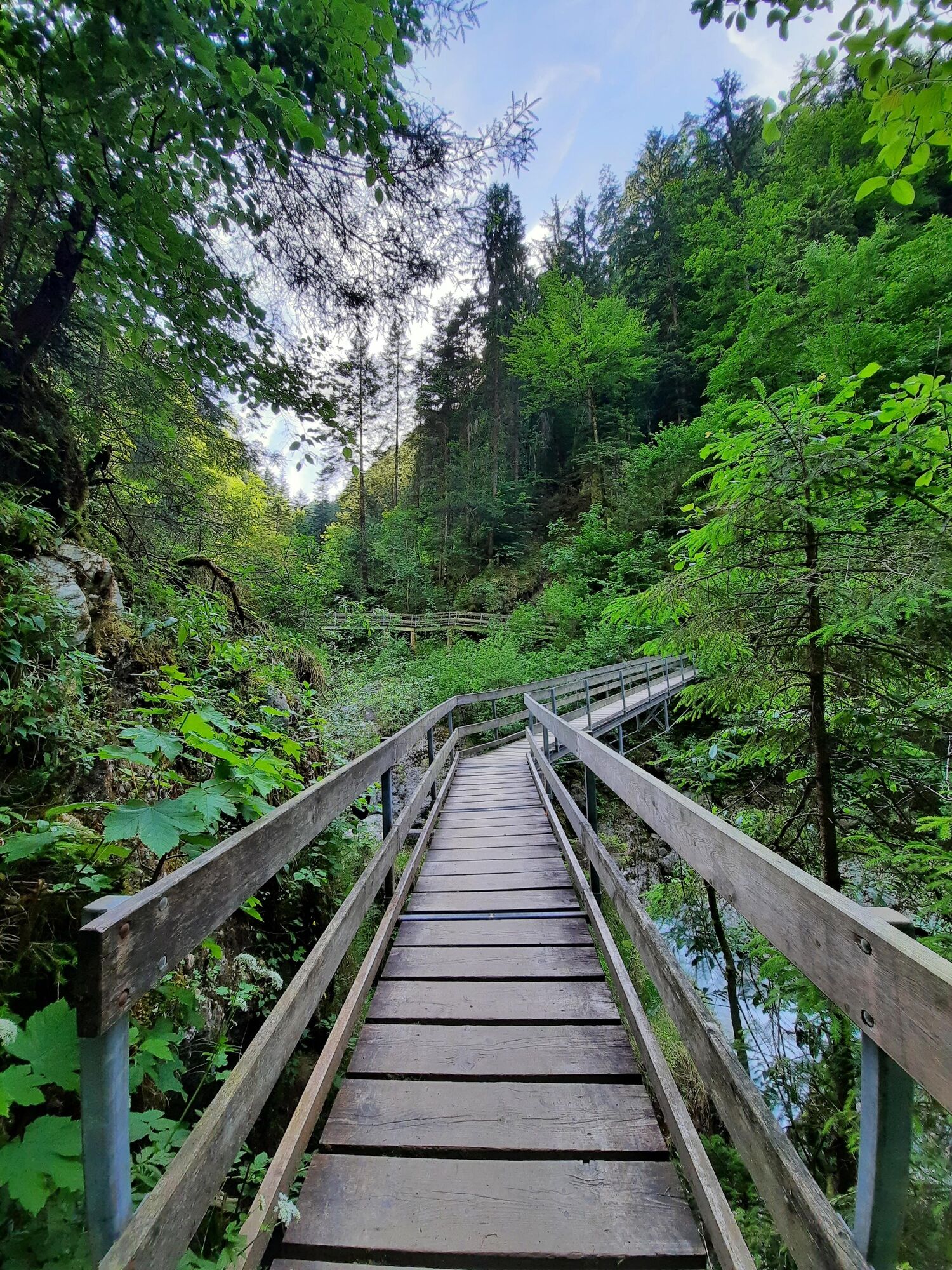
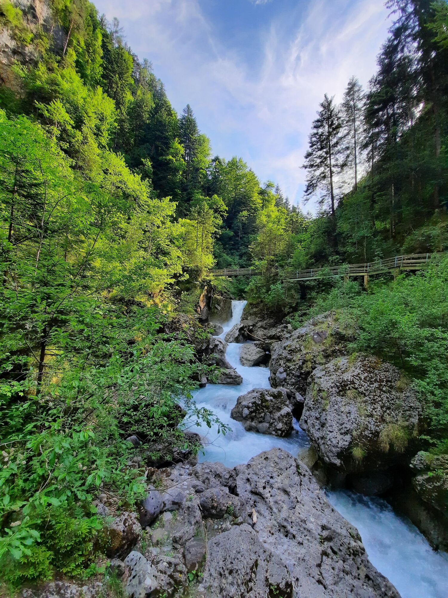
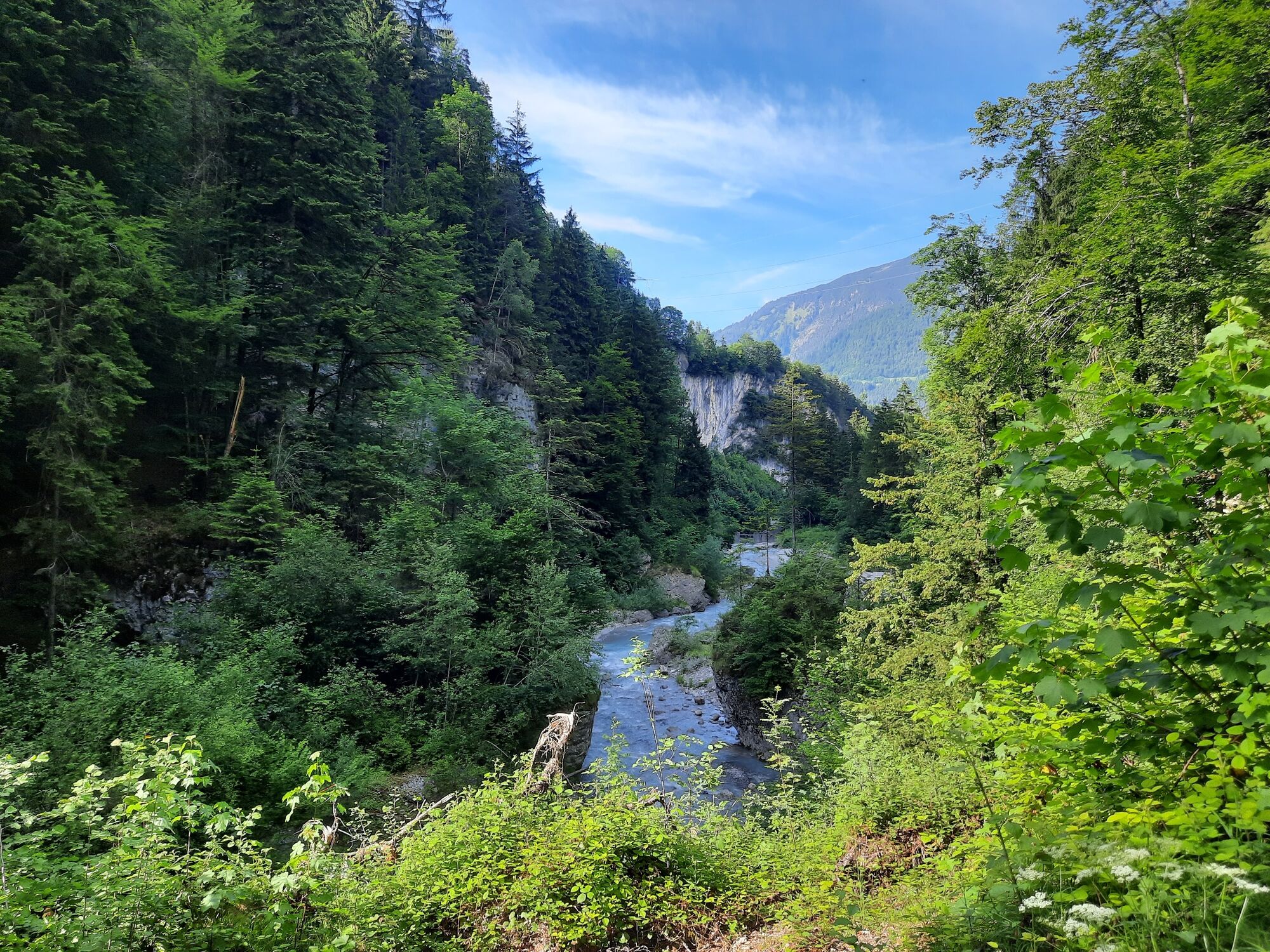
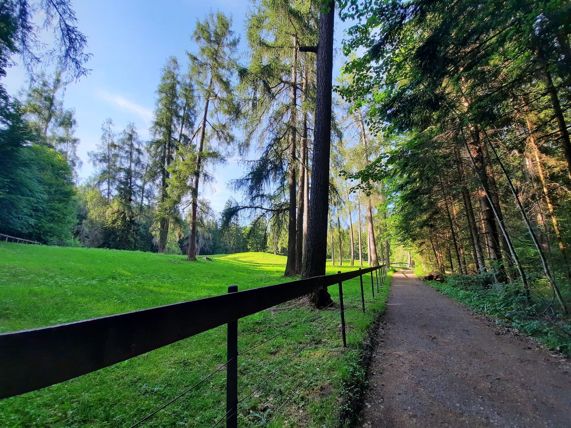
The Bürser Gorge offers extremely rare insights into the recent history of the earth and is also considered one of the most scenic gorges in the Alps with an almost primeval forest-like tree population.
- Teškoća
-
srednje
- Vrednovanje
-
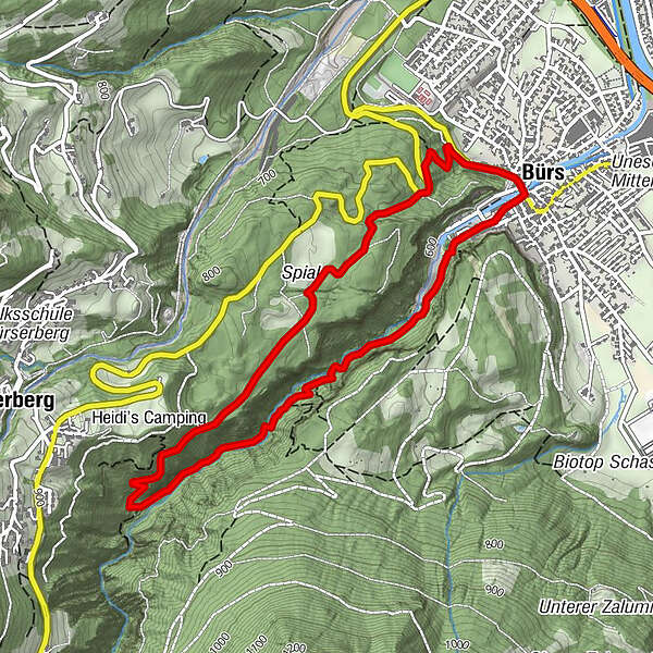
- Wegverlauf
-
BürsBludenz0,0 kmKuhloch0,3 kmWegkapelle heilige Maria4,4 kmBürs4,9 kmBludenz5,0 km
- Beste Jahreszeit
-
sijveljožutrasvilipsrpkolrujlisstupro
- Höchster Punkt
- 779 m
- Zielpunkt
-
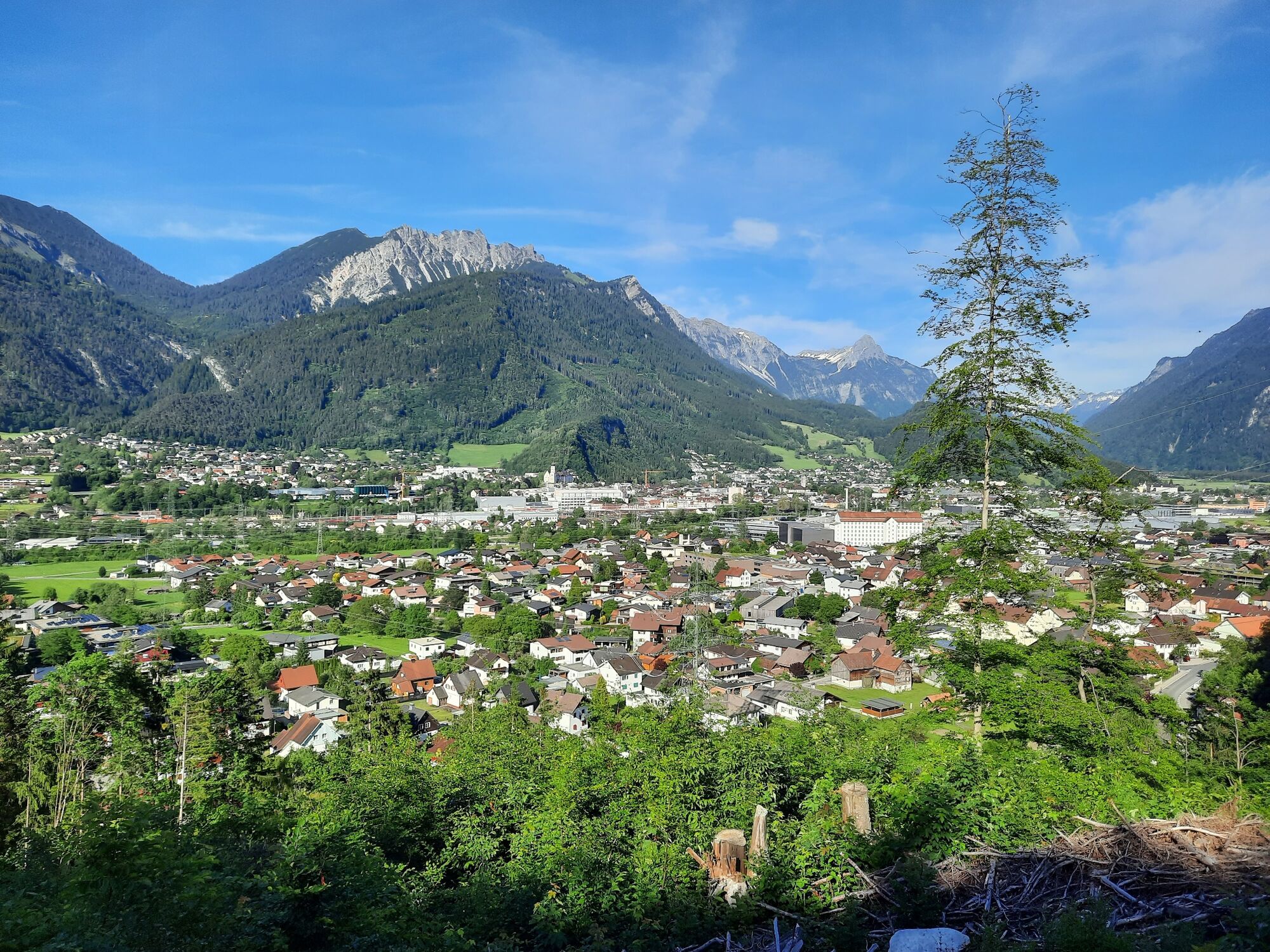
Village center, Bürs
- Höhenprofil
-


- Autor
-
Die Tour Bürser Schlucht | Bürs wird von outdooractive.com bereitgestellt.
GPS Downloads


Opće informacije
Einkehrmöglichkeit
Weitere Touren in den Regionen
-
St. Gallen - Bodensee
2066
-
Brandnertal
1568
-
Bürs
489


