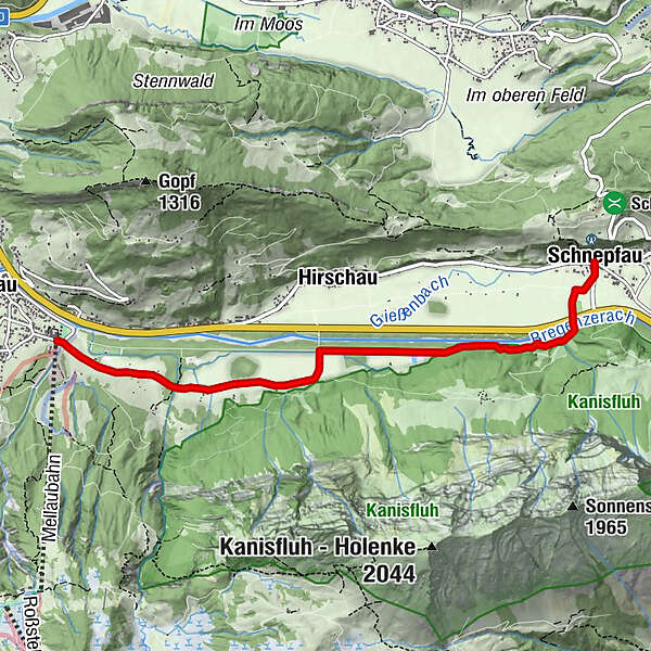
Mellau | At the foot of the Kanisfluh - from Mellau to Schnepfau


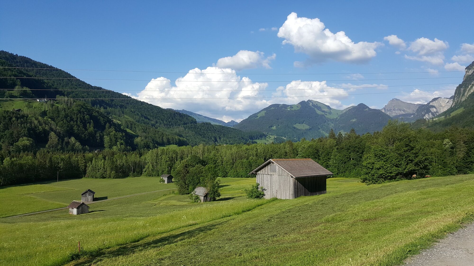
© Bregenzerwald Tourismus - Nadine Lerho

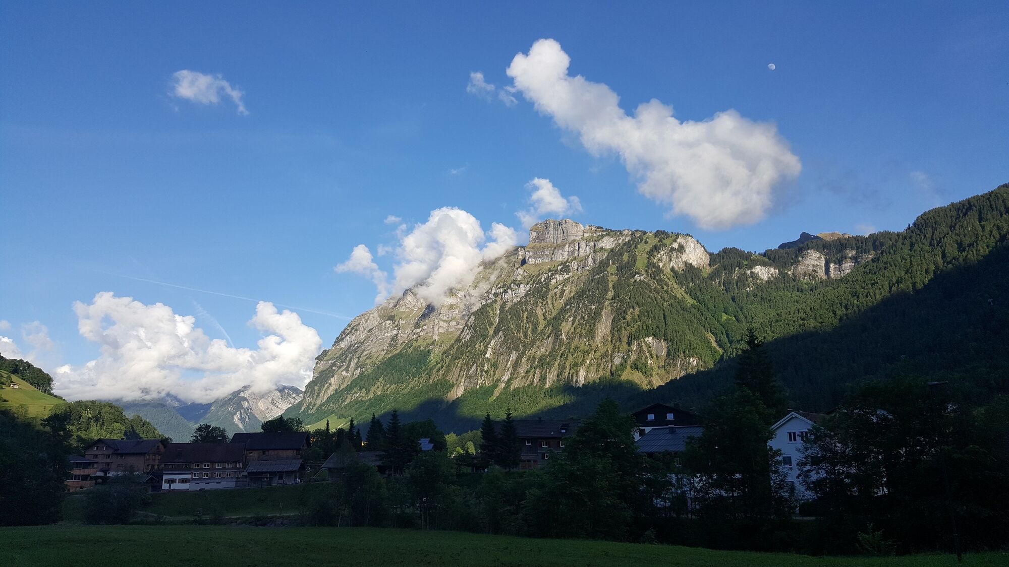
© Bregenzerwald Tourismus - Nadine Lerho

© Bregenzerwald Tourismus - Nadine Lerho

© Bregenzerwald Tourismus - Nadine Lerho

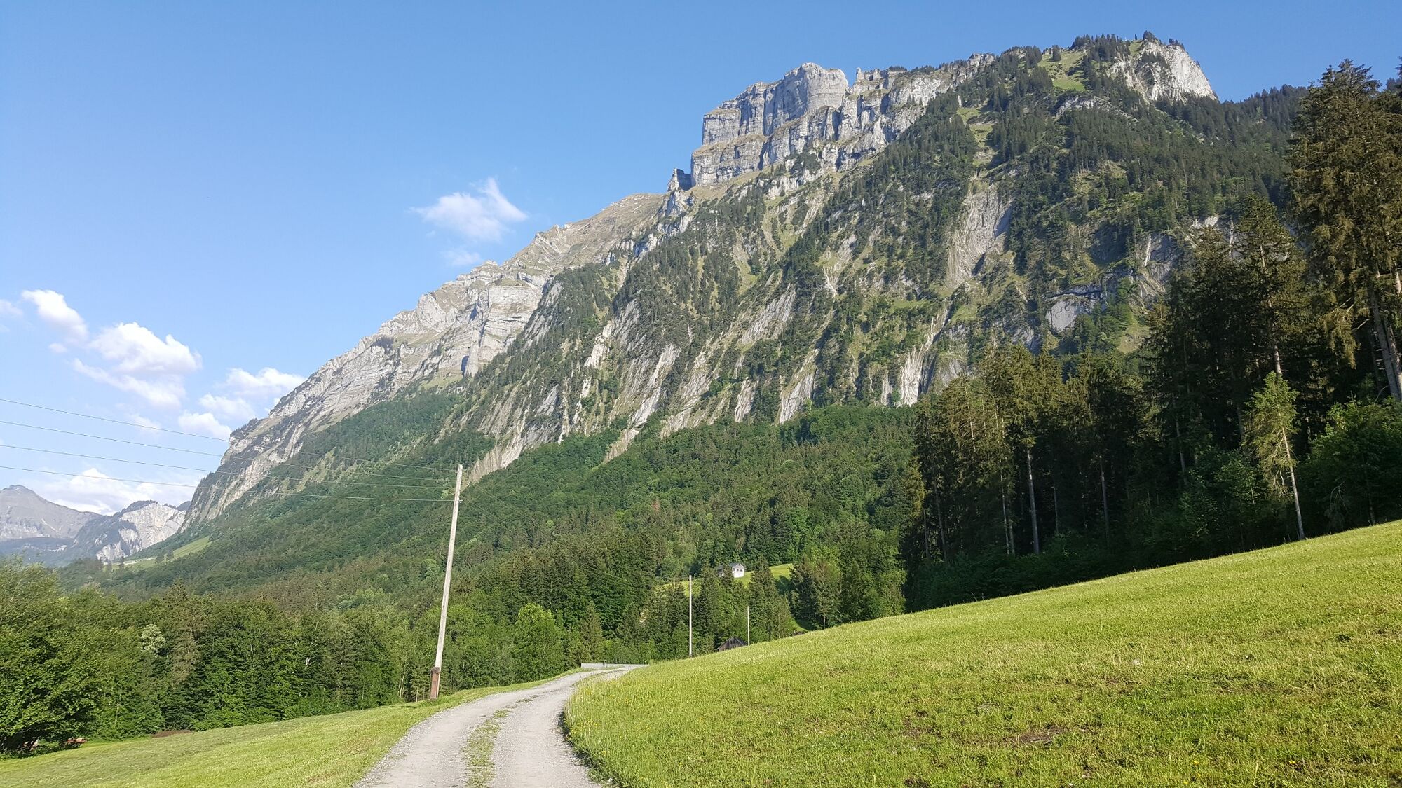
© Bregenzerwald Tourismus - Christoph Lingg

- Kratak opis
-
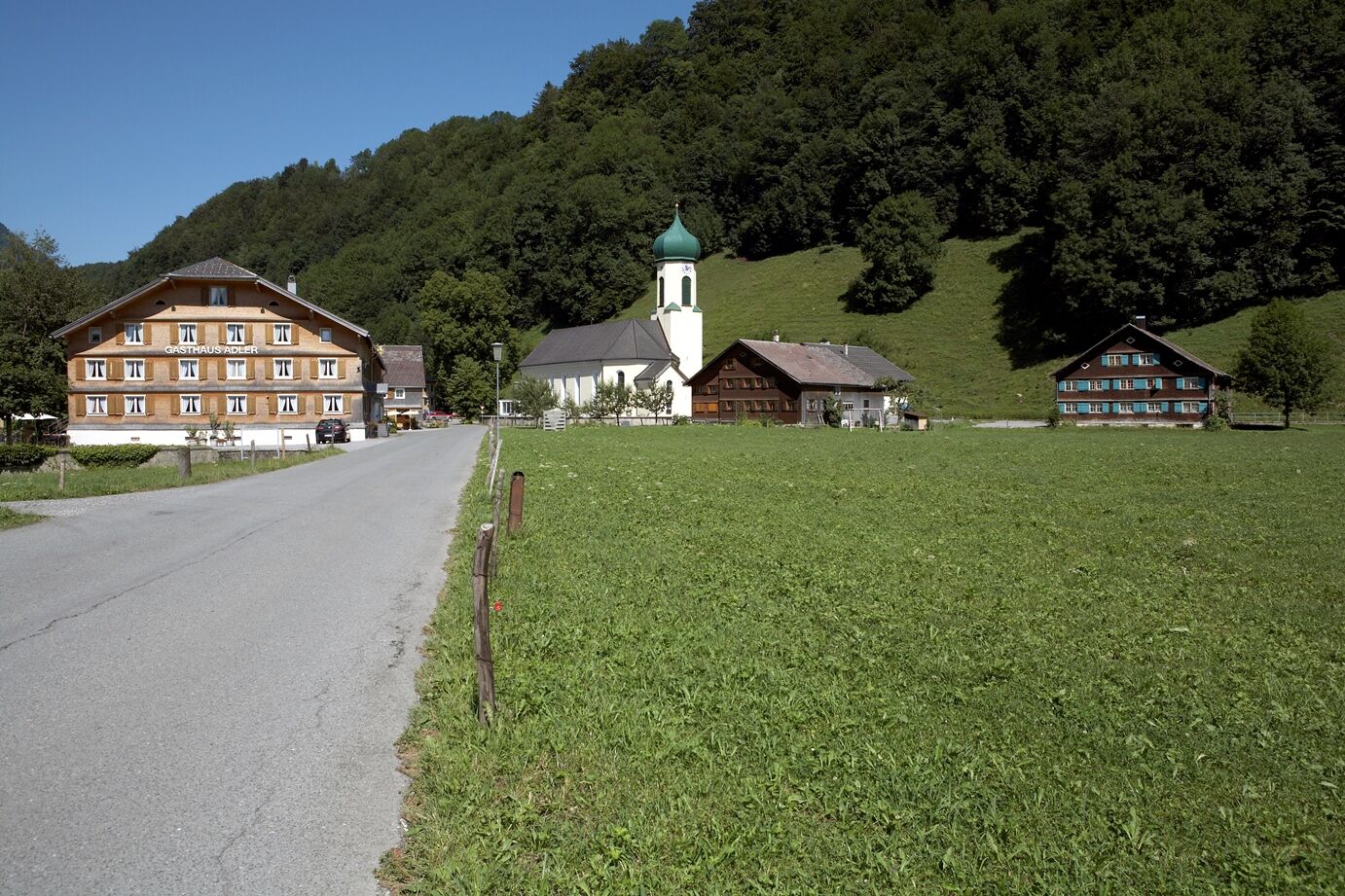
Mellau cable cars (705 m) - Engevorsäß (705 m) - Ach bridge towards Hirschau - Schnepfau (734 m, car park) return via the same way; signposted for the most part as cycle and hiking paths
- Teškoća
-
lagano
- Vrednovanje
-
- Wegverlauf
-
HinterbündtTanna0,4 kmEnge1,5 kmPfarrkirche Schnepfau5,1 kmSchnepfau5,2 km
- Beste Jahreszeit
-
sijveljožutrasvilipsrpkolrujlisstupro
- Höchster Punkt
- 749 m
- Zielpunkt
-
Mellau cable cars, car park
- Höhenprofil
-


- Autor
-
Die Tour Mellau | At the foot of the Kanisfluh - from Mellau to Schnepfau wird von outdooractive.com bereitgestellt.
GPS Downloads


Opće informacije
Einkehrmöglichkeit
Weitere Touren in den Regionen
-
St. Gallen - Bodensee
2067
-
Bregenzerwald
2297
-
Bizau
629


