
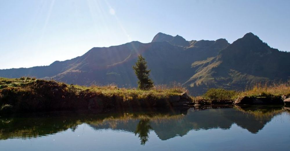
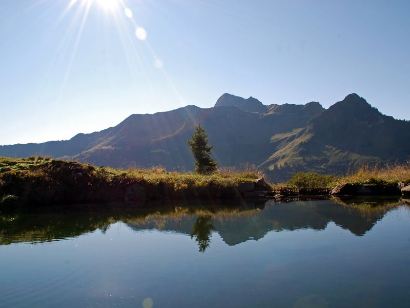
© Damüls - Faschina Tourismus - Matthias Greilach

- Kratak opis
-
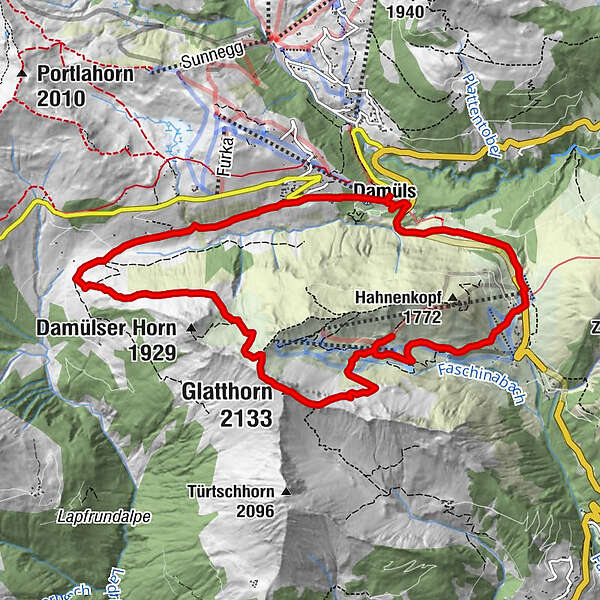
Damüls - Alpe Unterdamüls - Glatthorn - Stafelalpe - Faschina - Damüls
- Teškoća
-
teška
- Vrednovanje
-
- Wegverlauf
-
Damüls (1.423 m)Alpe Unterdamüls2,8 kmGlatthorn (2.133 m)5,6 kmFranz-Josef-Hütte7,3 kmFaschina9,3 kmDamüls (1.423 m)11,6 km
- Beste Jahreszeit
-
sijveljožutrasvilipsrpkolrujlisstupro
- Höchster Punkt
- 2.121 m
- Zielpunkt
-
Damüls Kirchdorf
- Höhenprofil
-

- Autor
-
Die Tour Über die Unterdamülser Alpe auf's Glatthorn wird von outdooractive.com bereitgestellt.
GPS Downloads


Opće informacije
Einkehrmöglichkeit
Geheimtipp
Flora
Aussichtsreich
Weitere Touren in den Regionen
-
St. Gallen - Bodensee
2070
-
Biosphärenpark Großes Walsertal
2006
-
Damüls
576


