
© Damüls - Faschina Tourismus - Matthias Greilach

- Kratak opis
-
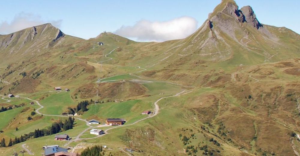
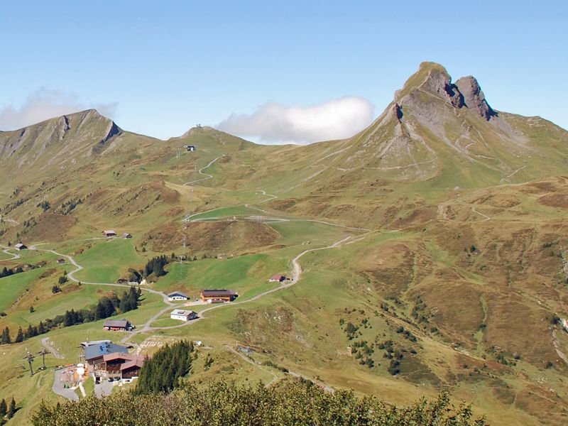
Bergstation Uga-Express - Uga-Alp - Damülser Mittagspitze und retour
- Teškoća
-
srednje
- Vrednovanje
-
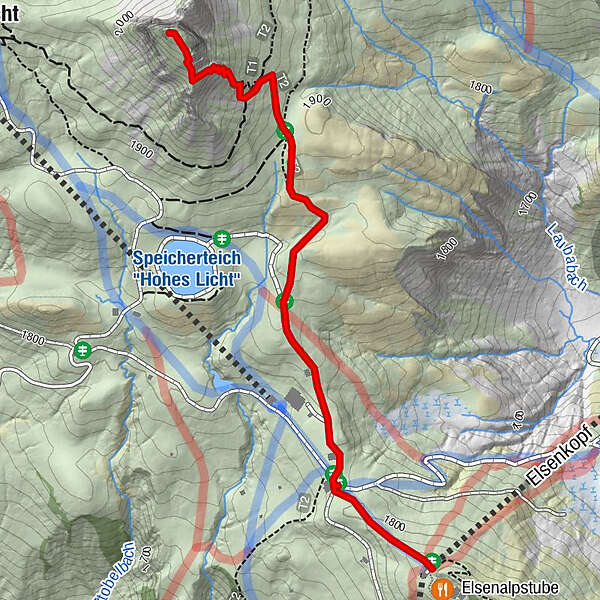
- Wegverlauf
-
Elsenkopf0,0 kmUga-Express0,0 kmVordere Ugaalpe0,2 kmAlpe Uga2,8 kmUga Alp2,9 kmUga-Express3,4 kmElsenkopf3,4 km
- Beste Jahreszeit
-
sijveljožutrasvilipsrpkolrujlisstupro
- Höchster Punkt
- 2.023 m
- Zielpunkt
-
Uga-Express Bergstation
- Höhenprofil
-

- Autor
-
Die Tour Damüls | Auf die Damülser Mittagspitze wird von outdooractive.com bereitgestellt.
GPS Downloads


Opće informacije
Einkehrmöglichkeit
Aussichtsreich
Weitere Touren in den Regionen
-
St. Gallen - Bodensee
2066
-
Biosphärenpark Großes Walsertal
2006
-
Damüls
576


