
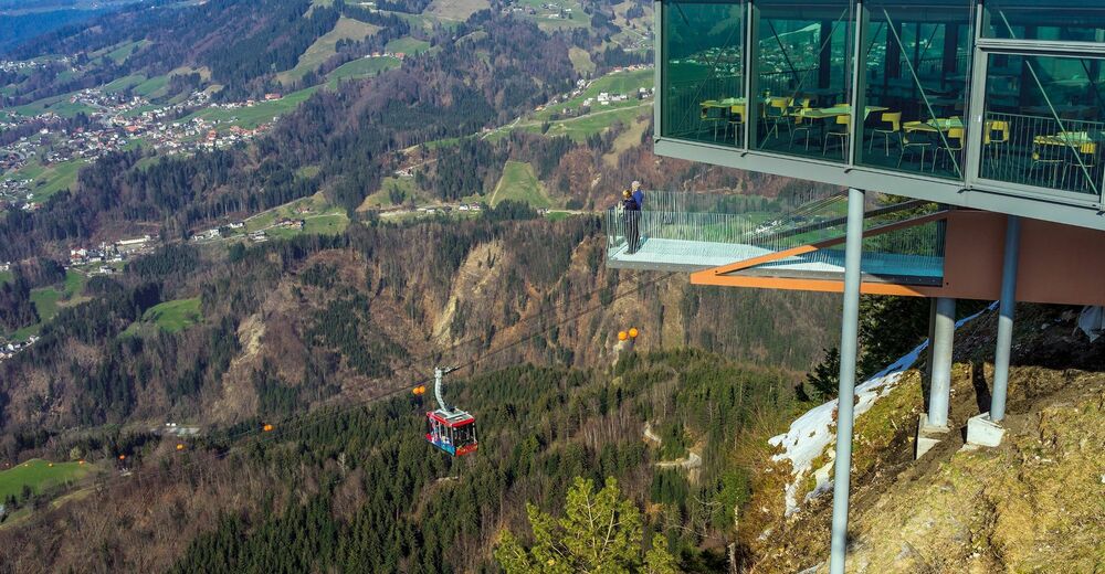
© V-CARD Vorarlberg - Andreas Schwarzmann
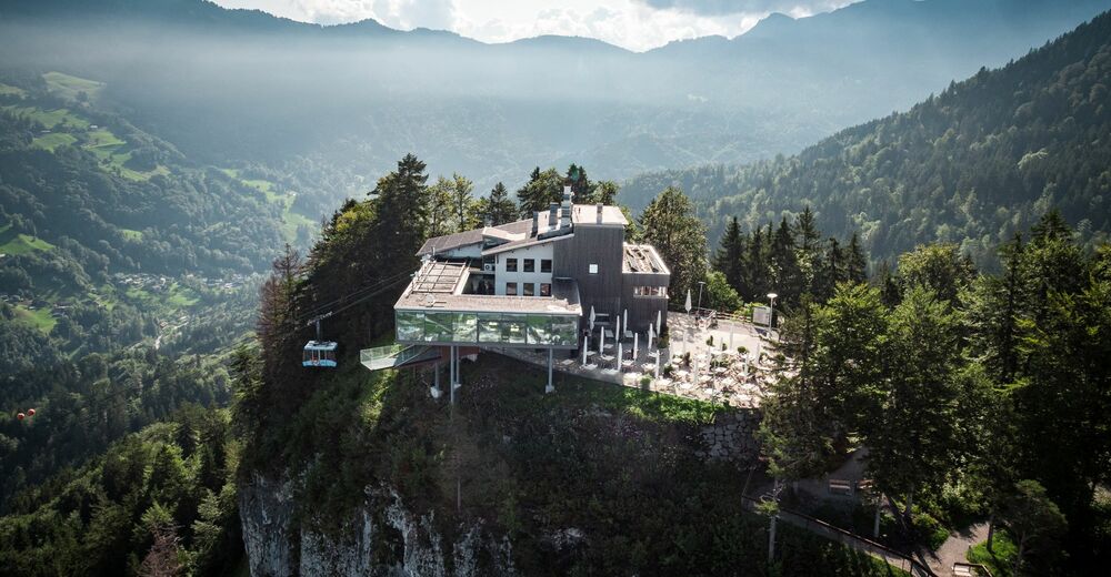
© Dornbirn Tourismus & Stadtmarketing - Studio Fasching
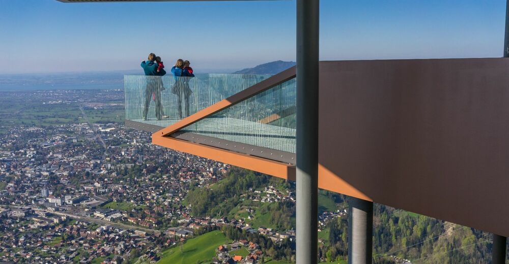
© Dornbirner Seilbahn GmbH - Bodensee-Vorarlberg Tourismus


- Kratak opis
-
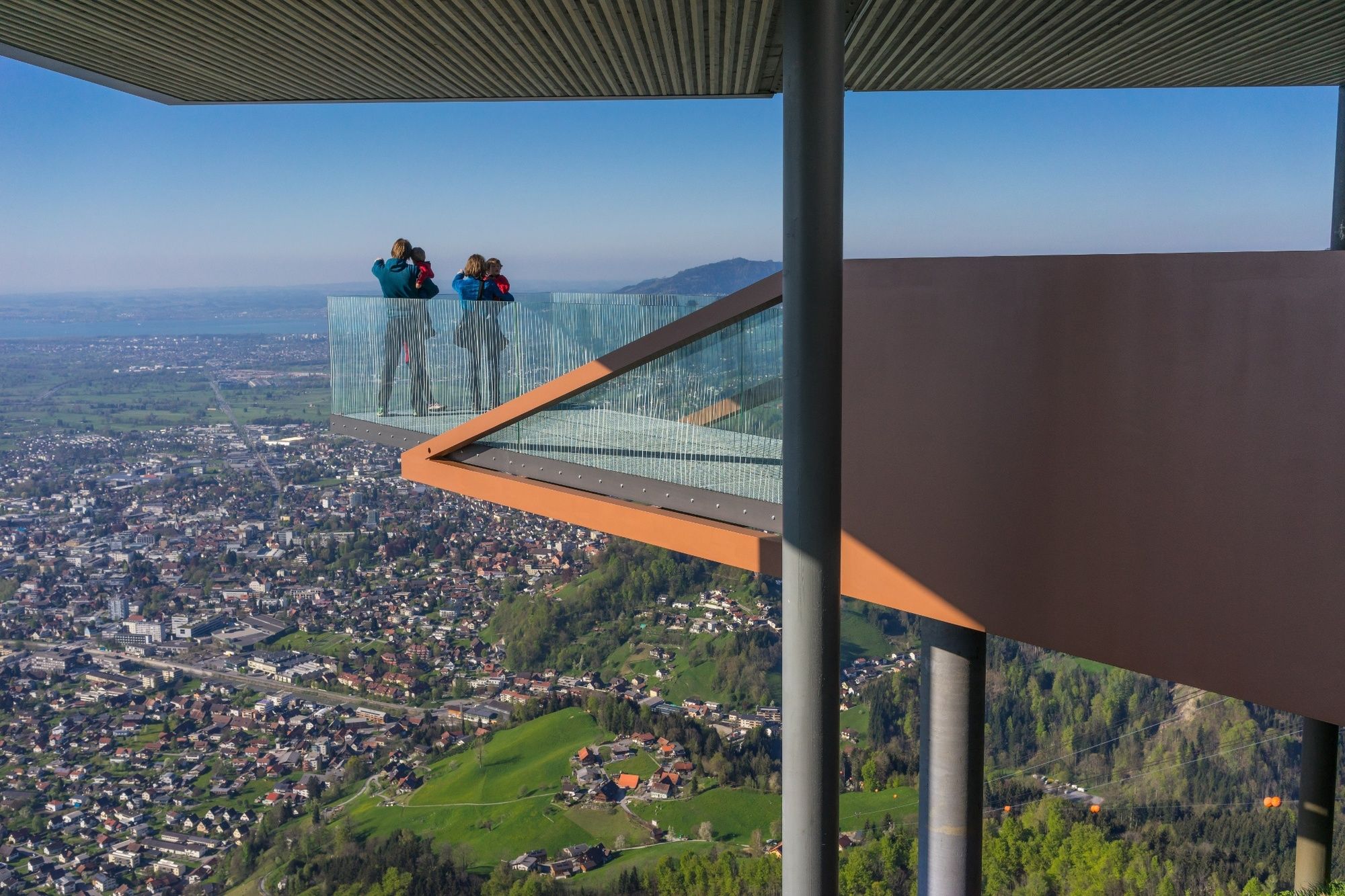
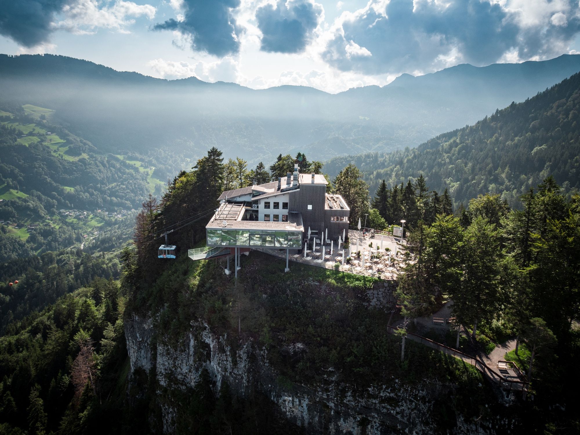
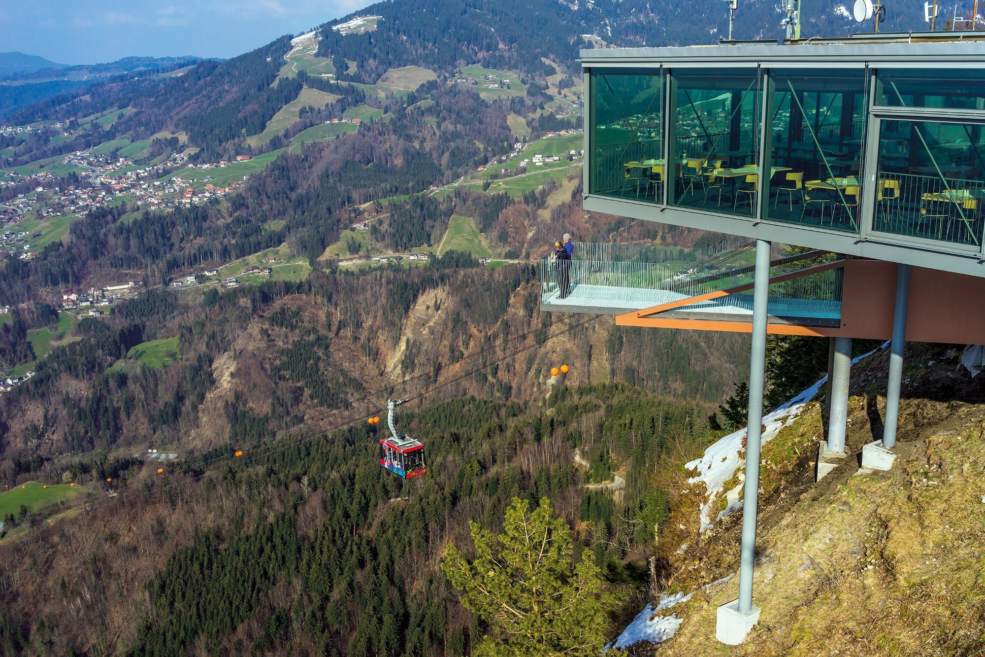
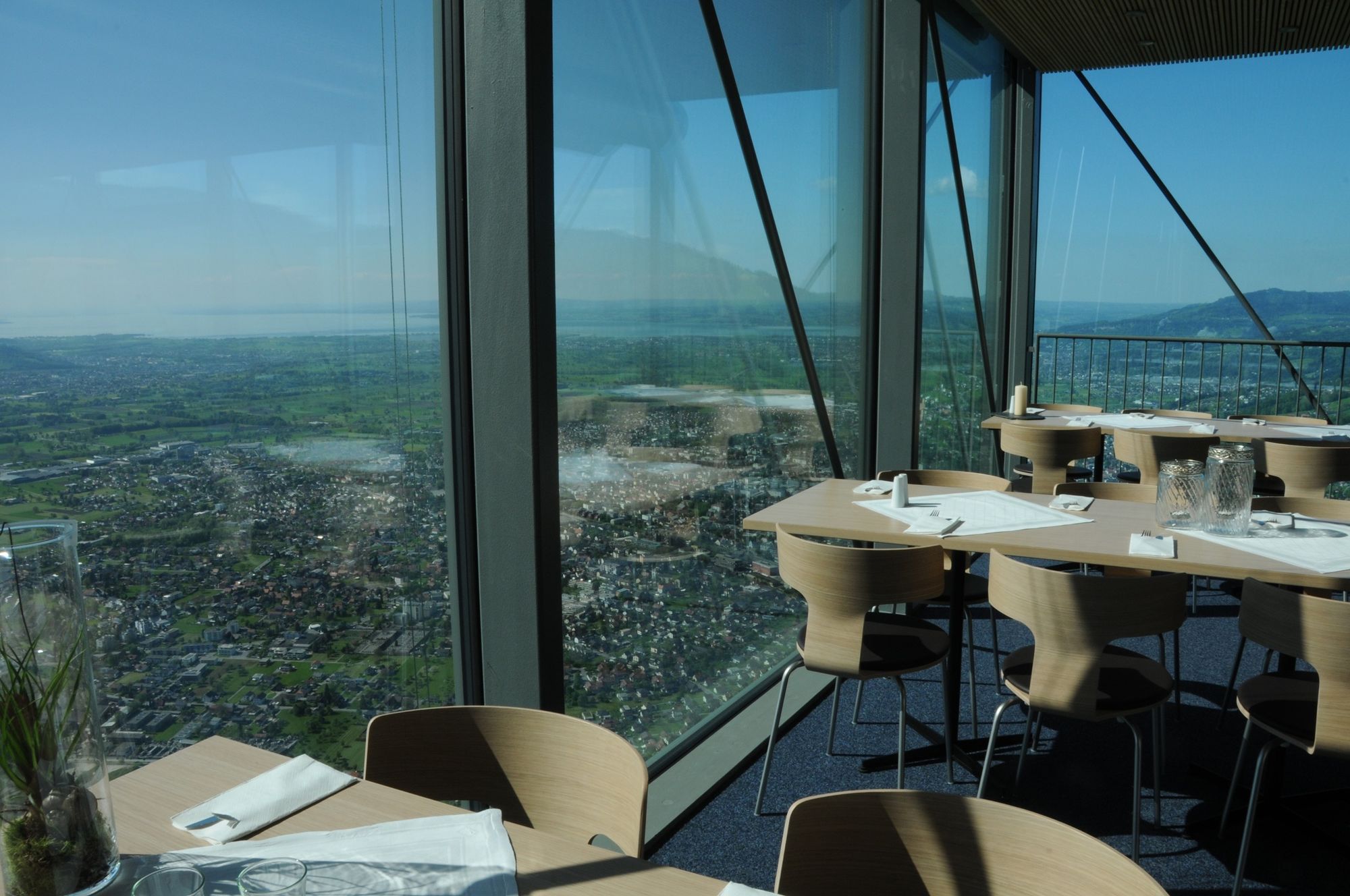
A popular hike with views across the Rhine Valley, Lake Constance and the Swiss mountains, including a stop at the Panoramarestaurant Karren.
- Teškoća
-
srednje
- Vrednovanje
-
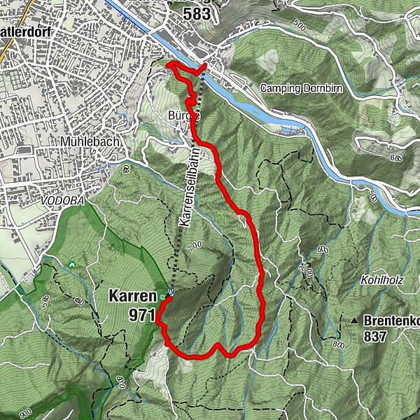
- Wegverlauf
-
Karrenseilbahn Talstation0,0 kmDornbirn (437 m)0,2 kmBürgle (852 m)0,8 kmKarren (971 m)3,4 kmPanoramarestaurant Karren3,4 km
- Beste Jahreszeit
-
sijveljožutrasvilipsrpkolrujlisstupro
- Höchster Punkt
- 962 m
- Zielpunkt
-
Karren Mountain Station
- Höhenprofil
-

-

-
AutorDie Tour Panorama hike Dornbirn Karren wird von outdooractive.com bereitgestellt.
GPS Downloads


Opće informacije
Einkehrmöglichkeit
Aussichtsreich
Weitere Touren in den Regionen
-
St. Gallen - Bodensee
2066
-
Bodensee - Vorarlberg
1316
-
Dornbirn
447


