

© Bregenzerwald Tourismus - Michael Meusburger

© Bregenzerwald Tourismus - Oostenrijk TV

© Bregenzerwald Tourismus - Helmut Düringer

© Bregenzerwald Tourismus - Oostenrijk TV

© Bregenzerwald Tourismus - Michael Kuschei

© Bregenzerwald Tourismus - Emanuel Sutterlüty

© Bregenzerwald Tourismus - Nadine Lerho

© Bregenzerwald Tourismus - Anja Wolf

© Bregenzerwald Tourismus - Nadine Lerho

© Bregenzerwald Tourismus - Nadine Lerho

- Kratak opis
-
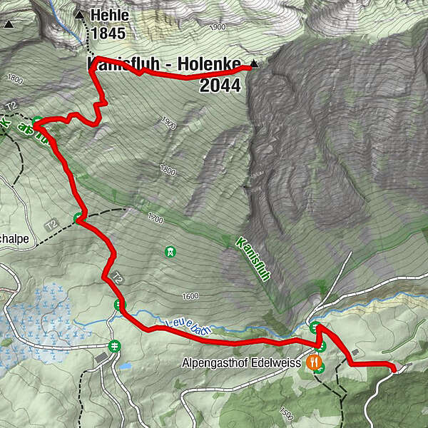
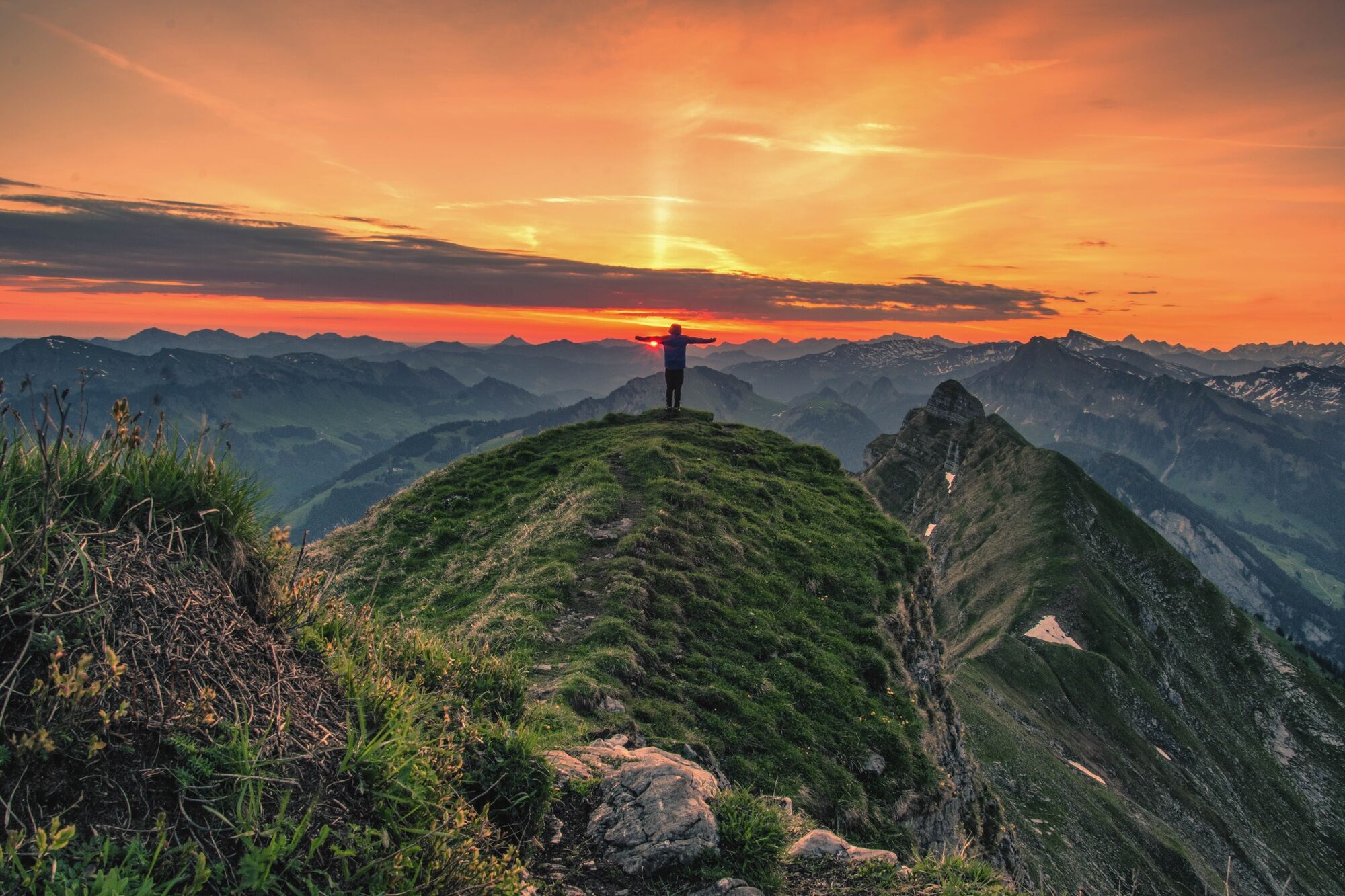
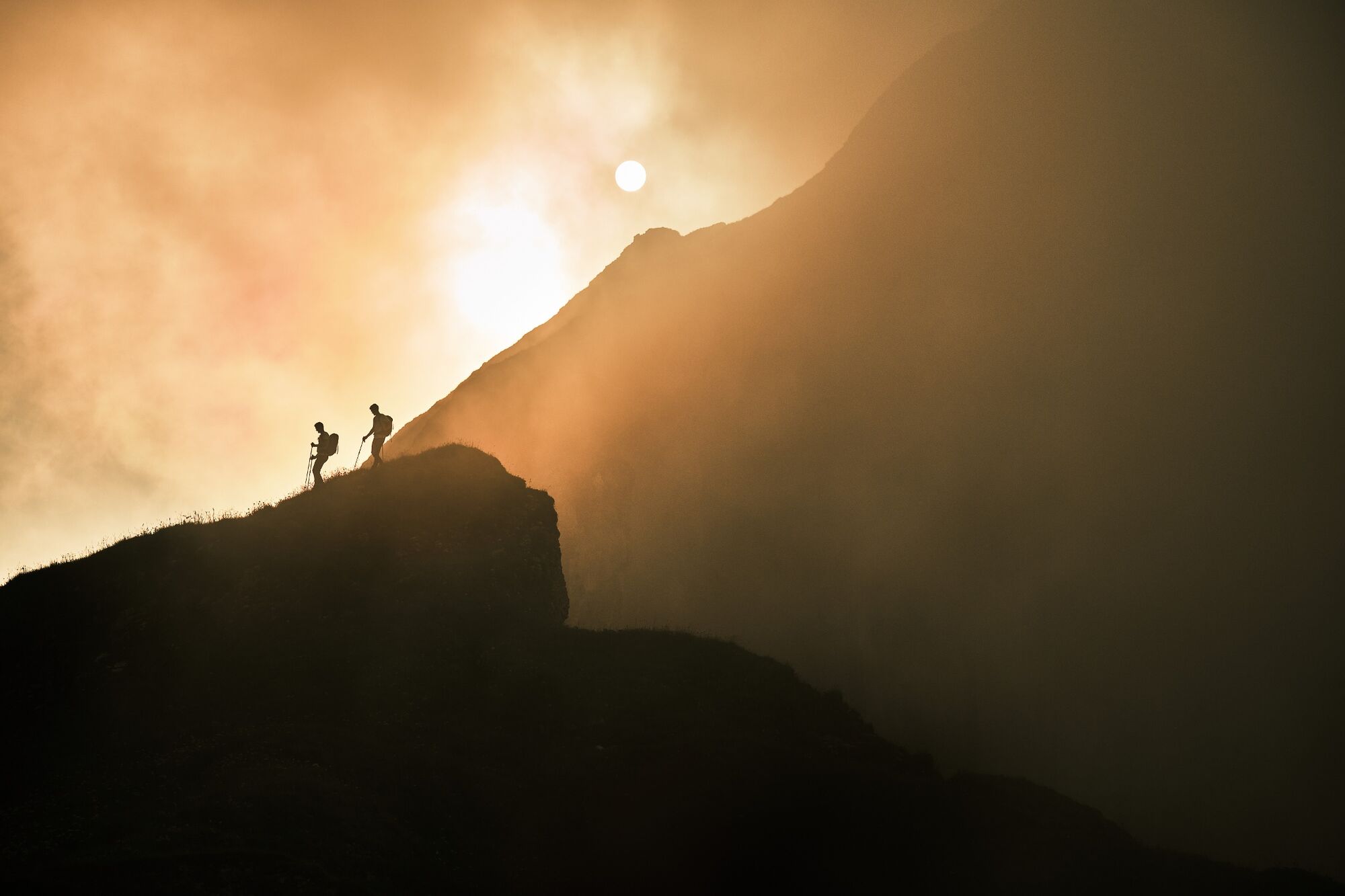
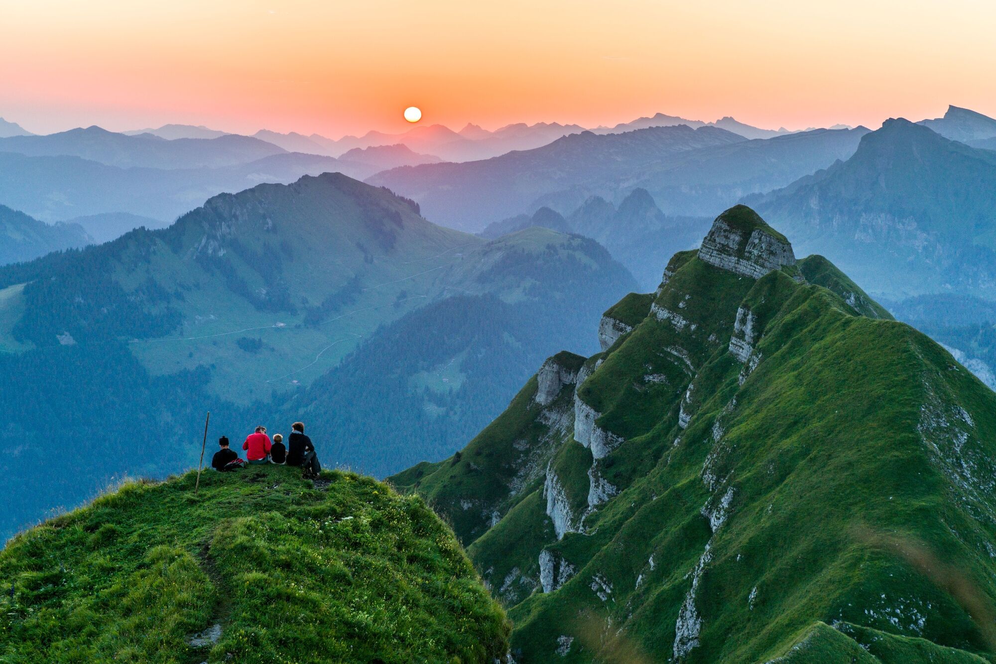
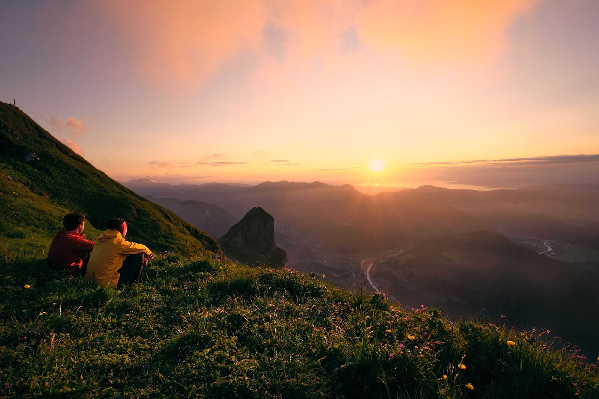
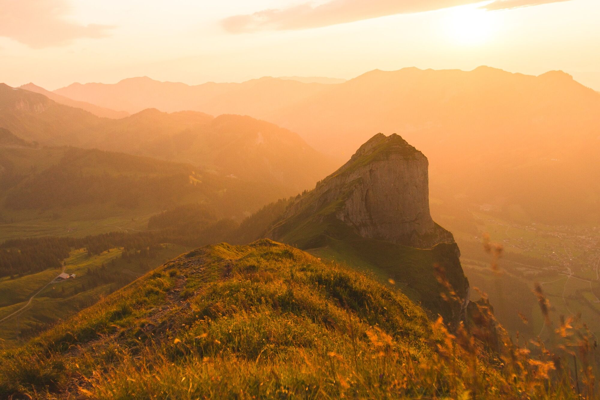
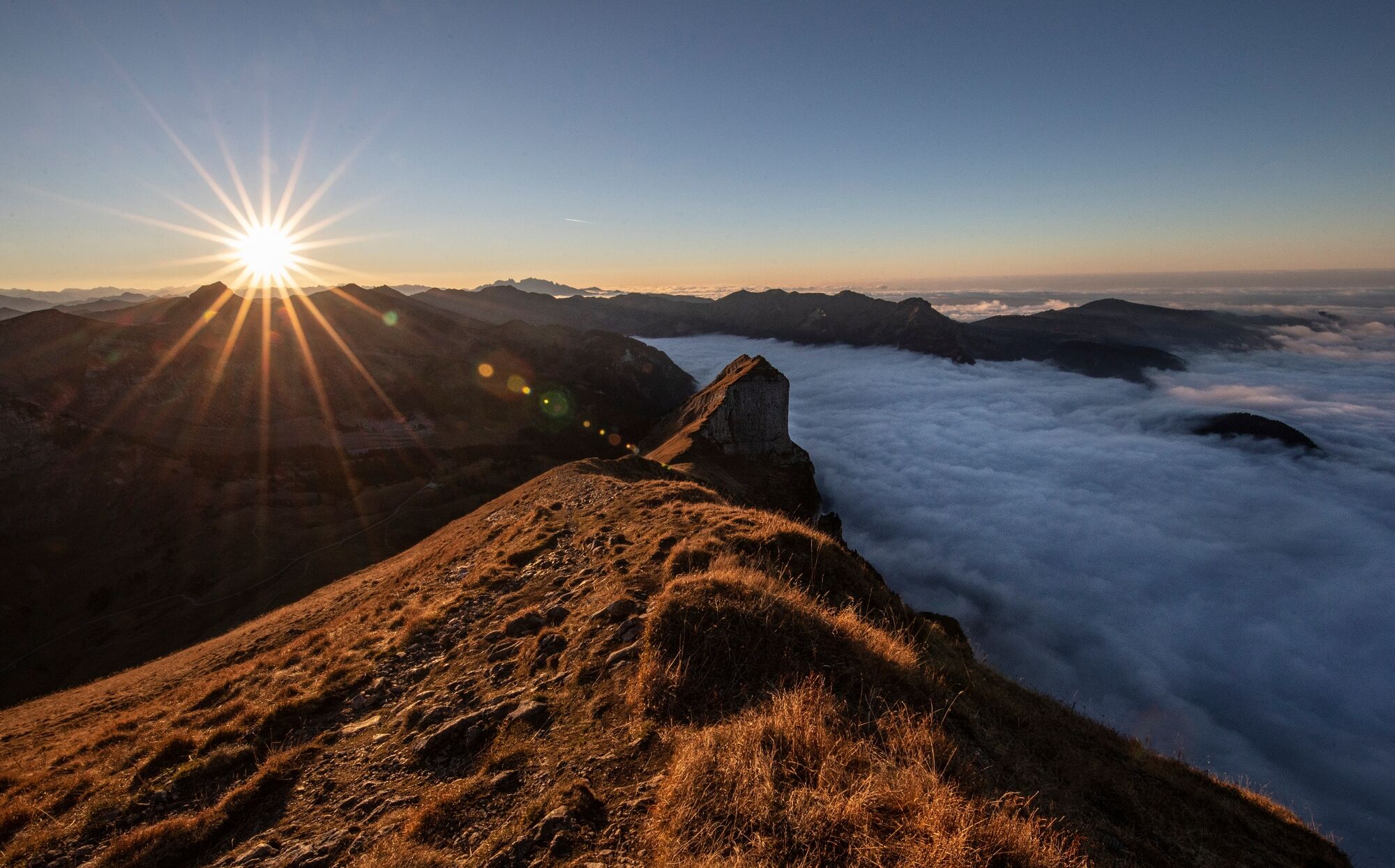
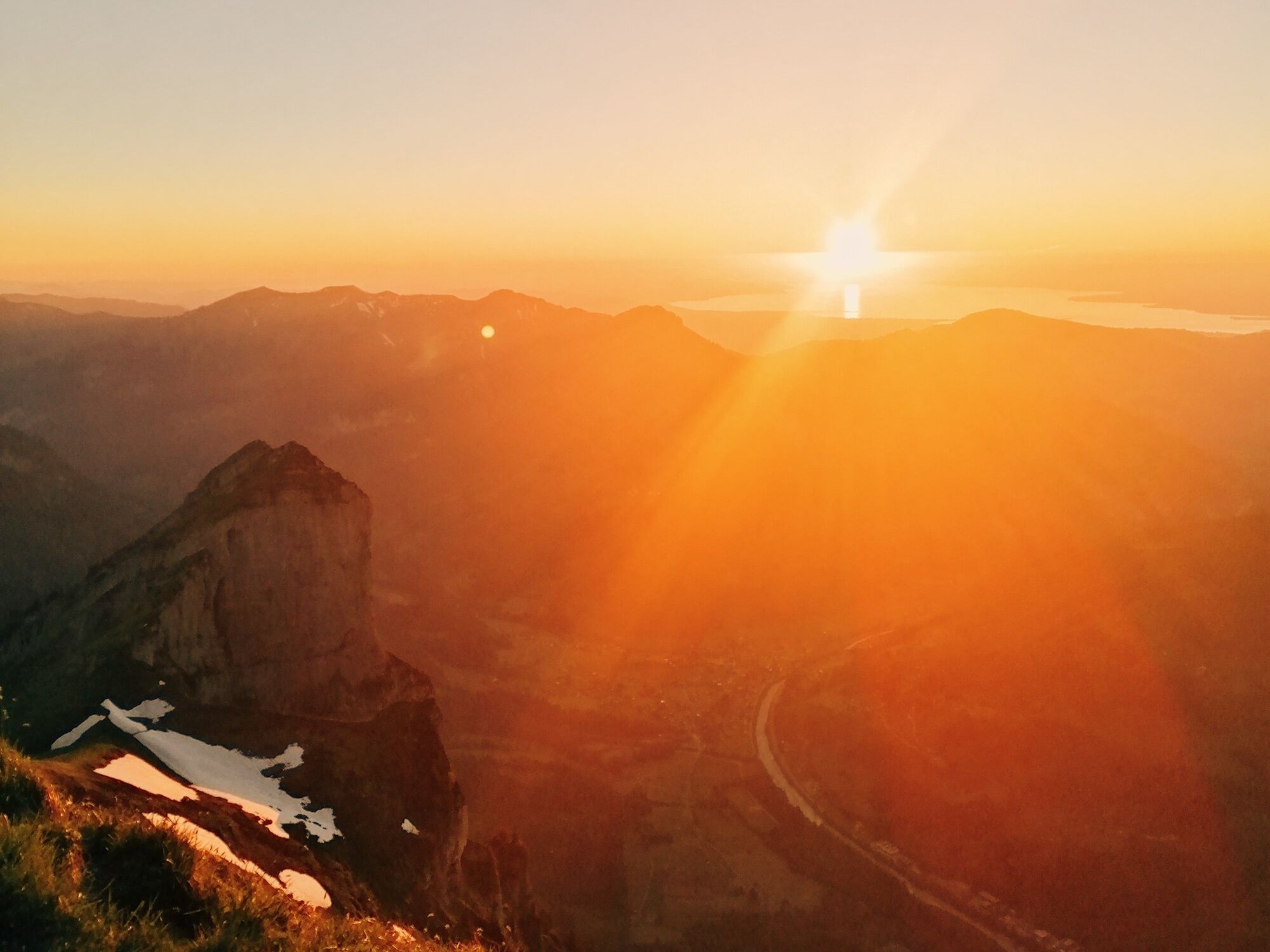
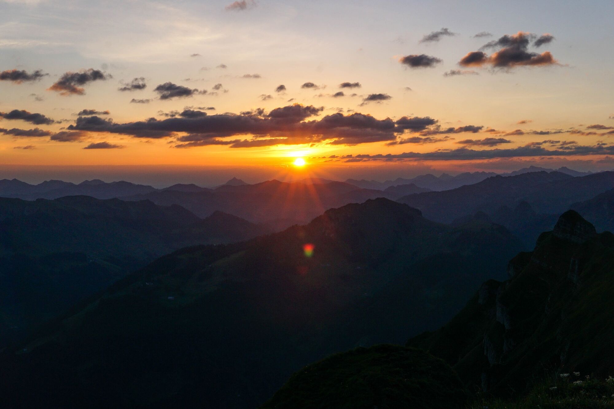
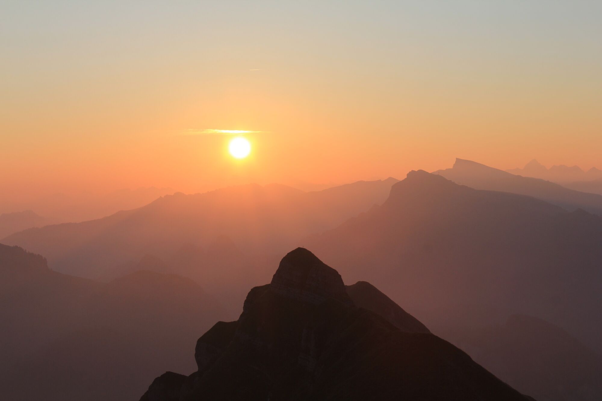
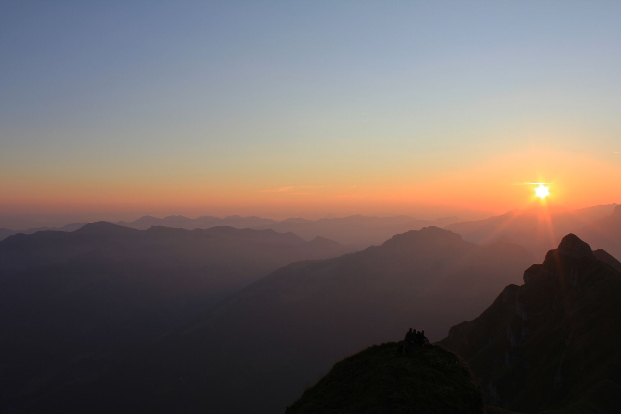
The sunrise and sunset hike from the Alpengasthof Edelweiß to the landmark of the Bregenzerwald - the popular panoramic mountain Kanisfluh (2,044 m) is very popular and always beautiful.
- Teškoća
-
srednje
- Vrednovanje
-
- Wegverlauf
-
Hehlesattel (1.870 m)2,2 km
- Beste Jahreszeit
-
sijveljožutrasvilipsrpkolrujlisstupro
- Höchster Punkt
- 2.007 m
- Zielpunkt
-
Kanisfluh
- Höhenprofil
-

-

-
AutorDie Tour Au | Sunrise and sunset hike to the Kanisfluh wird von outdooractive.com bereitgestellt.
GPS Downloads


Opće informacije
Einkehrmöglichkeit
Geheimtipp
Aussichtsreich
Weitere Touren in den Regionen
-
St. Gallen - Bodensee
2065
-
Biosphärenpark Großes Walsertal
2006
-
Schnepfau
630


