

© Bregenzerwald Tourismus - Nadine Lerho

© Bregenzerwald Tourismus - Alex Kaiser

© Bregenzerwald Tourismus GmbH - Cornelia Kriegner

© Bregenzerwald Tourismus - Cornelia Kriegner

© Bregenzerwald Tourismus - Cornelia Kriegner

© Bregenzerwald Tourismus - Alex Kaiser

© Bregenzerwald Tourismus - Cornelia Kriegner

© Bregenzerwald Tourismus - Nadine Lerho

- Kratak opis
-
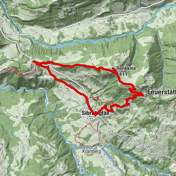
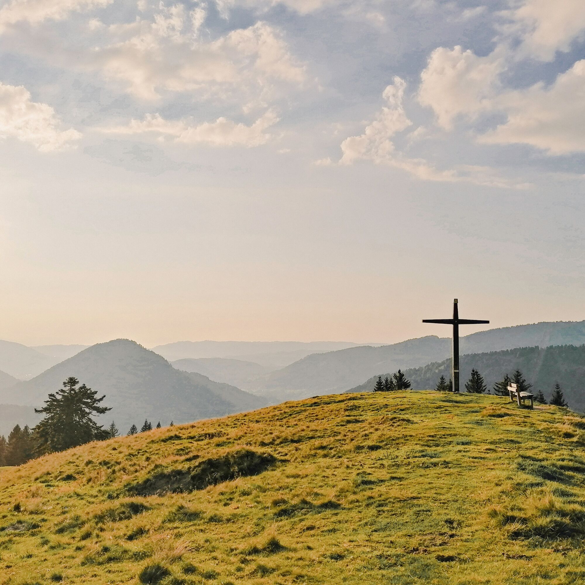
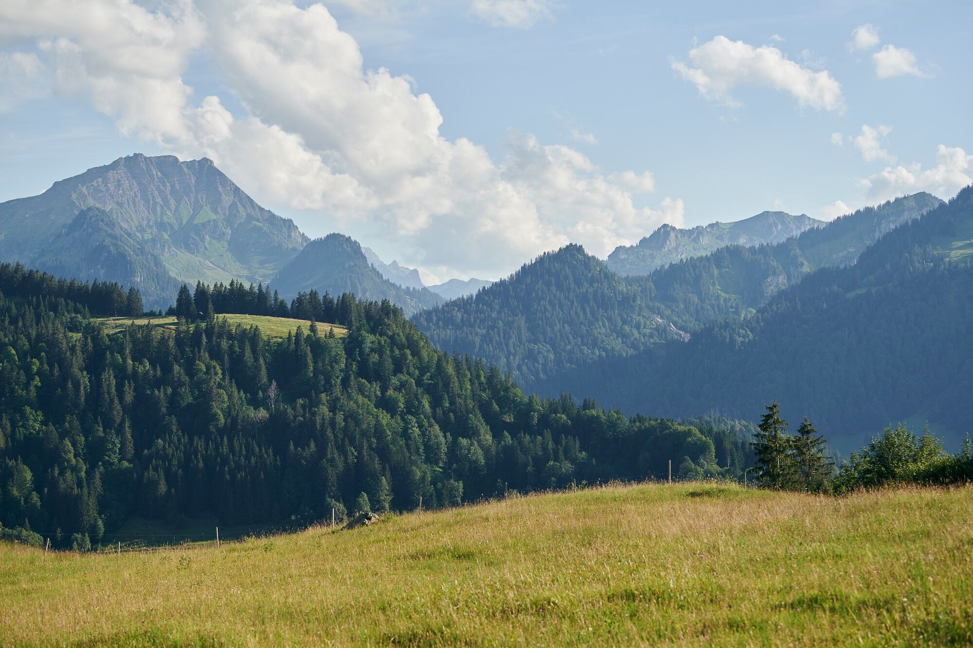
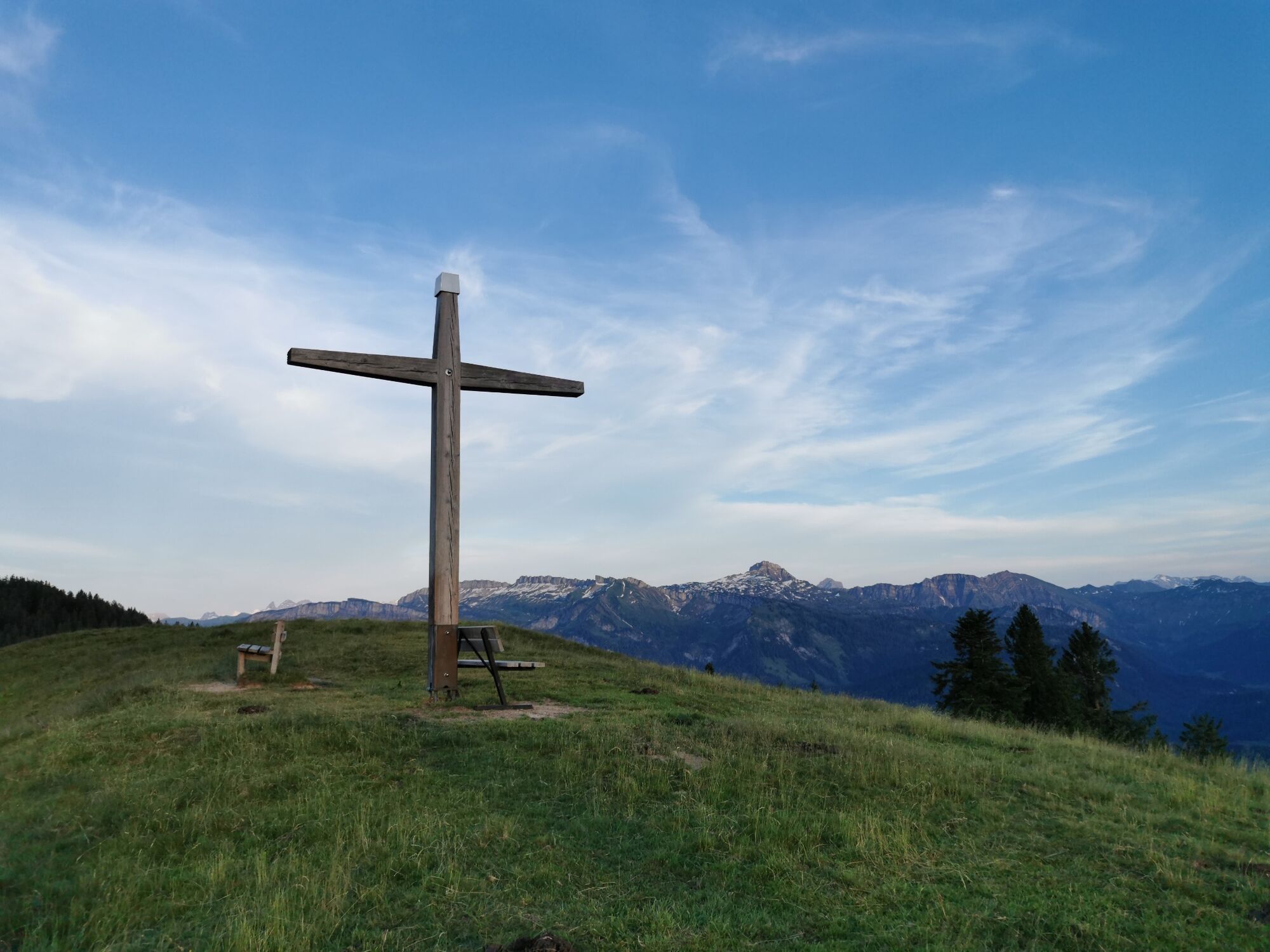
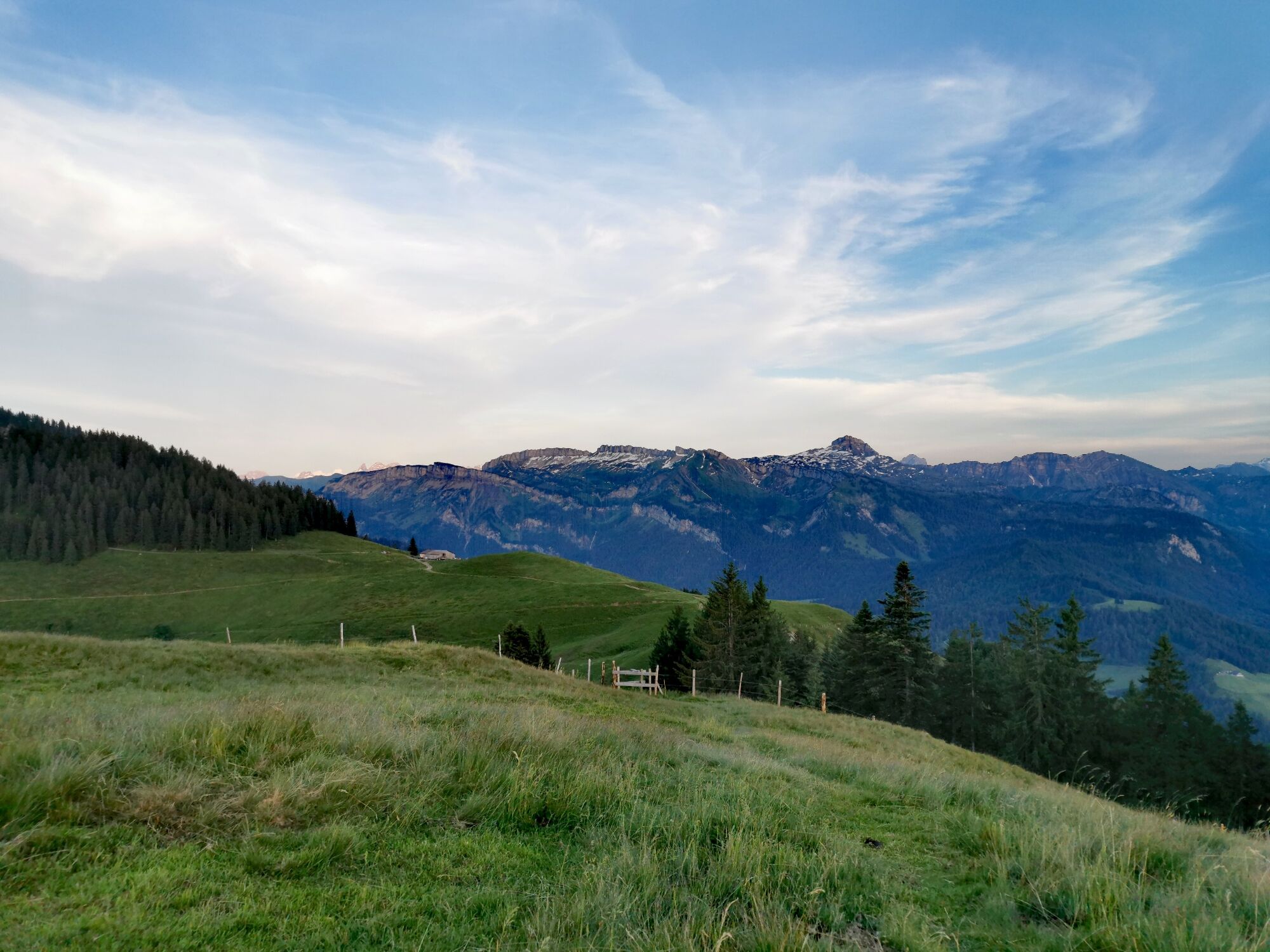
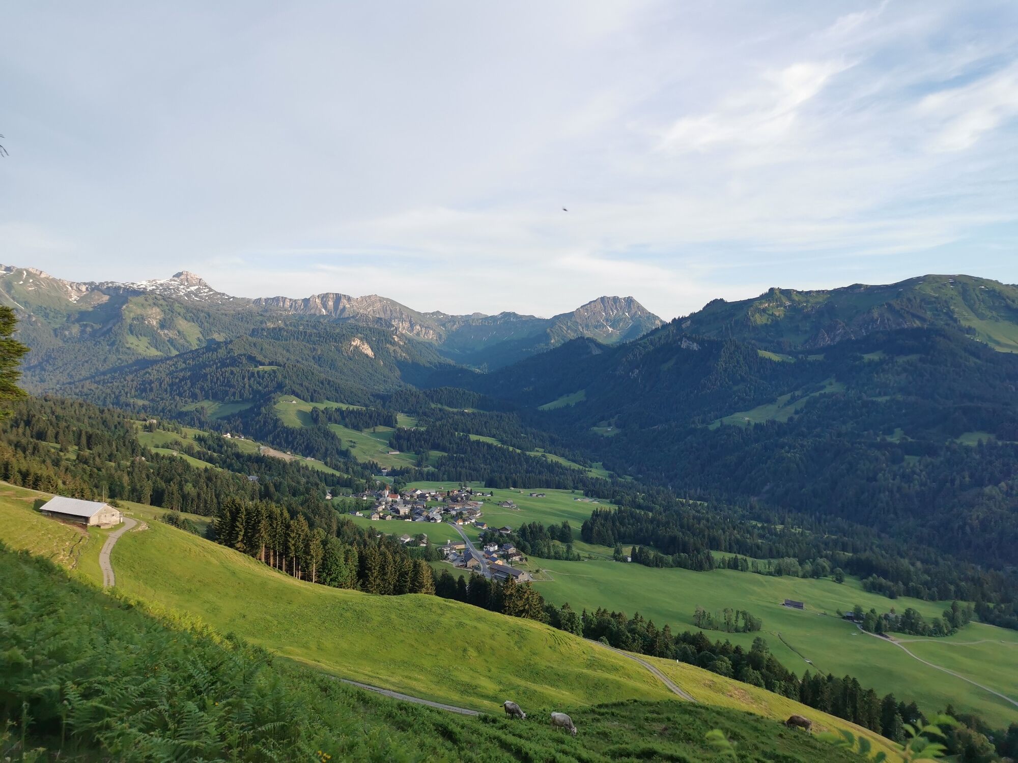
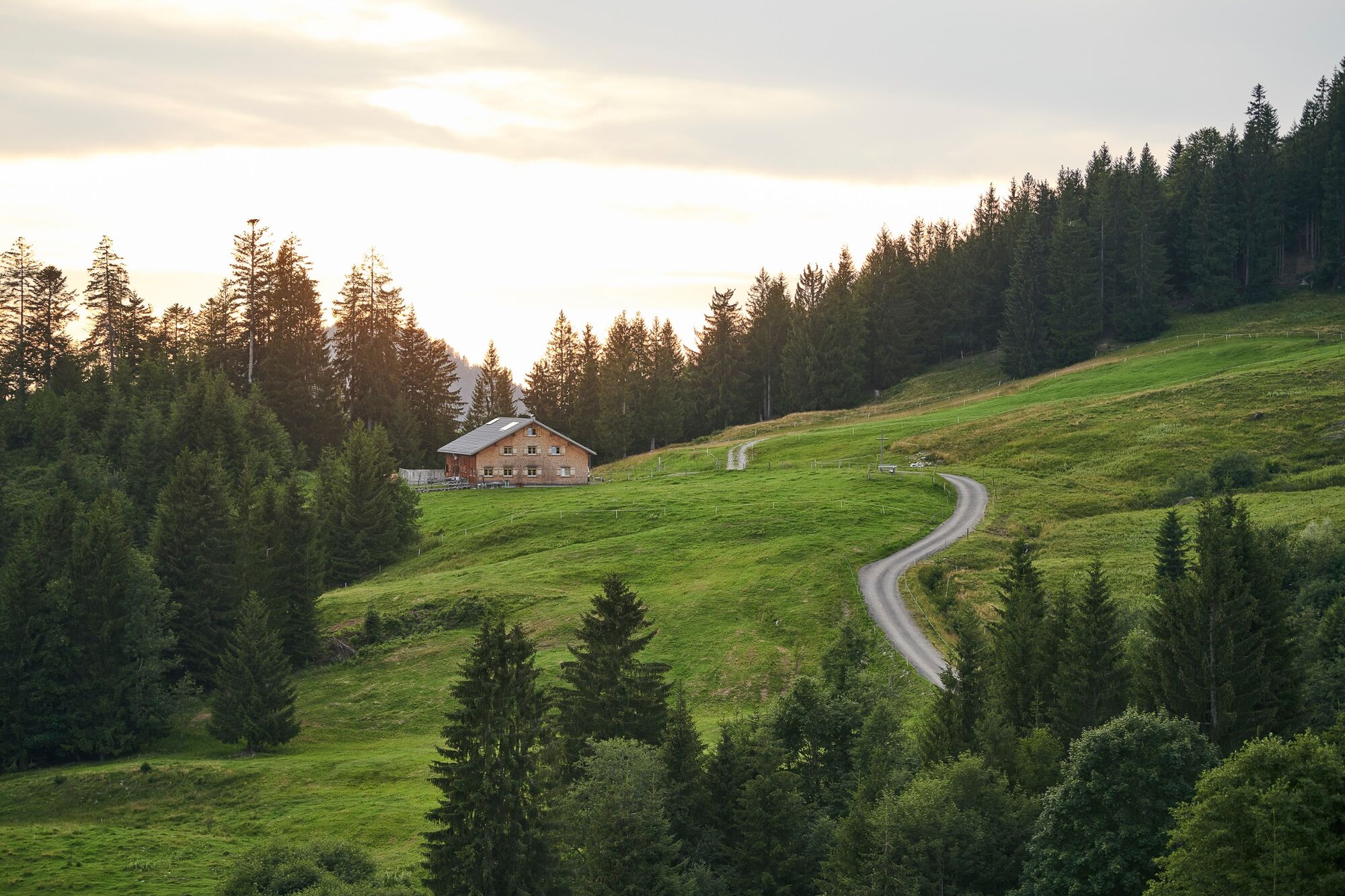
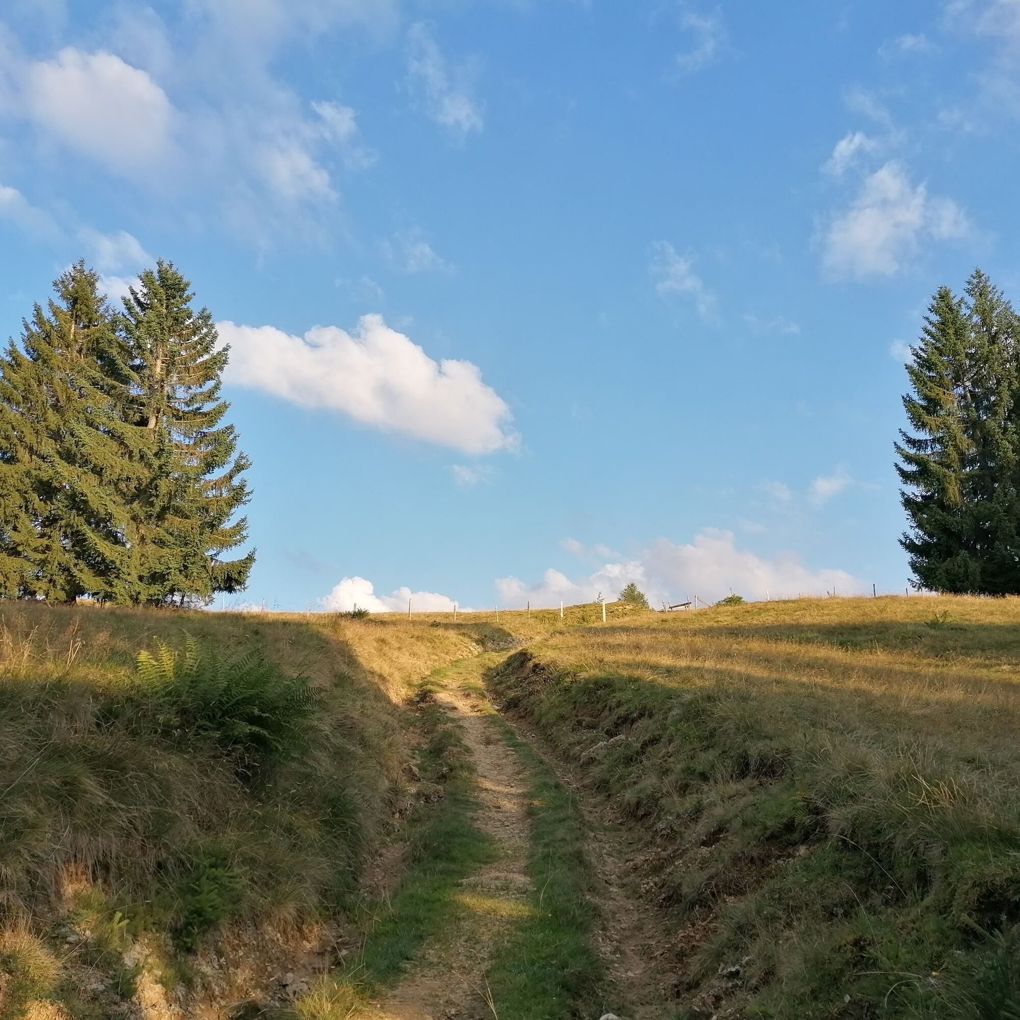
Beautiful hike to the view point Renkknie.
- Teškoća
-
srednje
- Vrednovanje
-
- Wegverlauf
-
Renkknie (1.411 m)2,6 kmPfarrkirche zum Hl. Erzengel Michael6,9 kmSibratsgfäll6,9 kmDer Hirschen7,0 kmMähmoos (920 m)7,9 km
- Beste Jahreszeit
-
sijveljožutrasvilipsrpkolrujlisstupro
- Höchster Punkt
- 1.398 m
- Zielpunkt
-
Car-Park Sausteig
- Höhenprofil
-


- Autor
-
Die Tour Sibratsgfäll | Renkknie wird von outdooractive.com bereitgestellt.
GPS Downloads


Opće informacije
Einkehrmöglichkeit
Aussichtsreich
Weitere Touren in den Regionen
-
Allgäu
2357
-
Bregenzerwald
2297
-
Sibratsgfäll
674


