© Damüls Faschina Tourismus - Huber Images

© Damüls Faschina Tourismus - Huber Images

© Damüls-Faschina Tourismus - Huber images

- Kratak opis
-
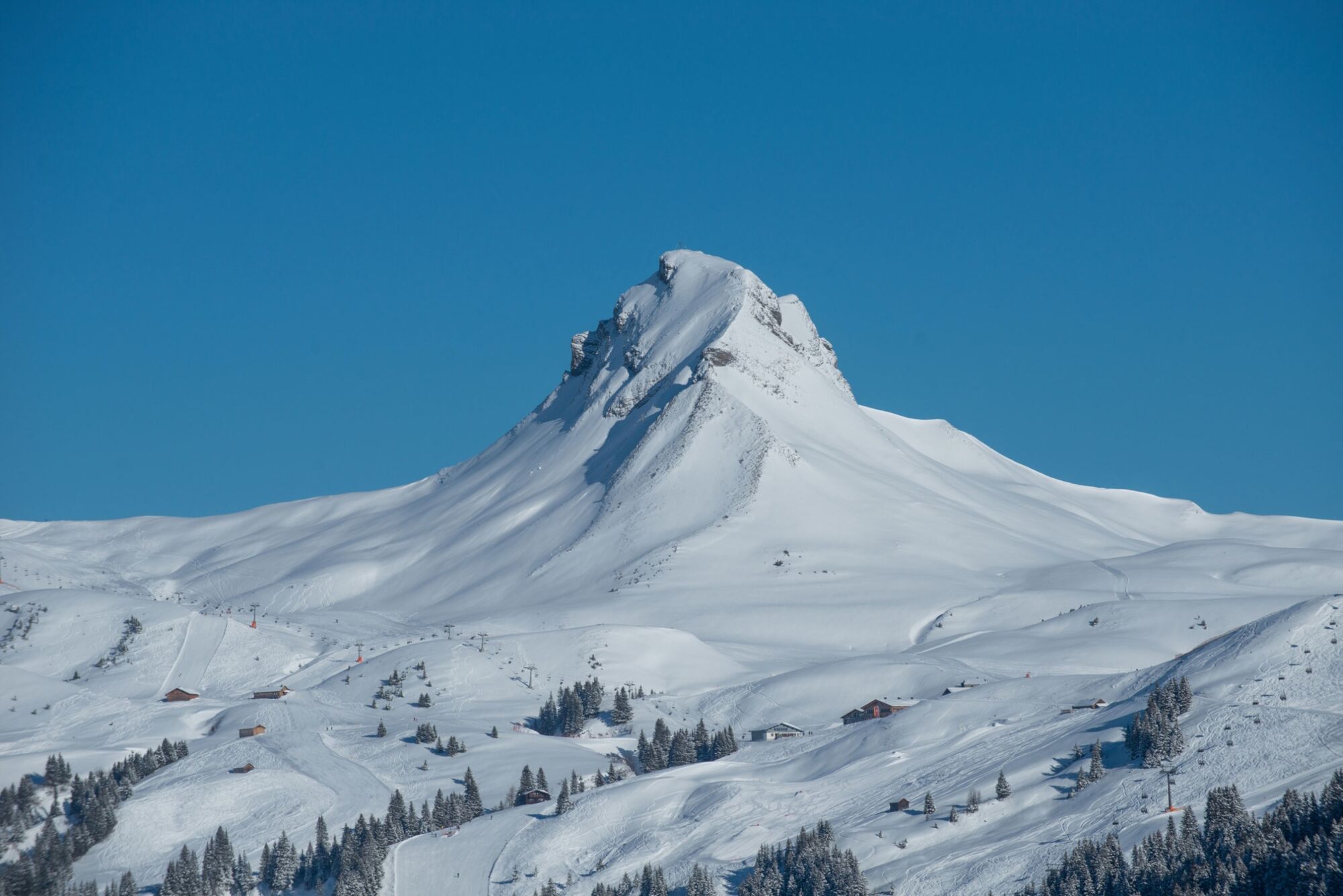
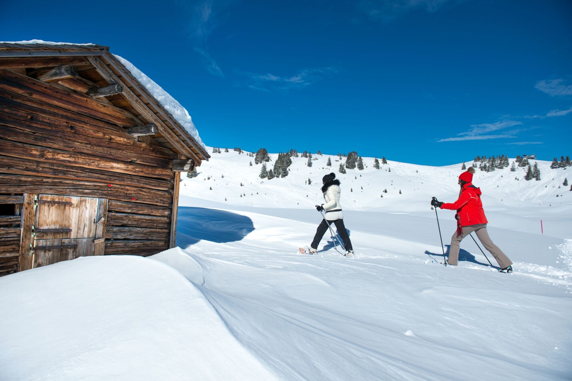
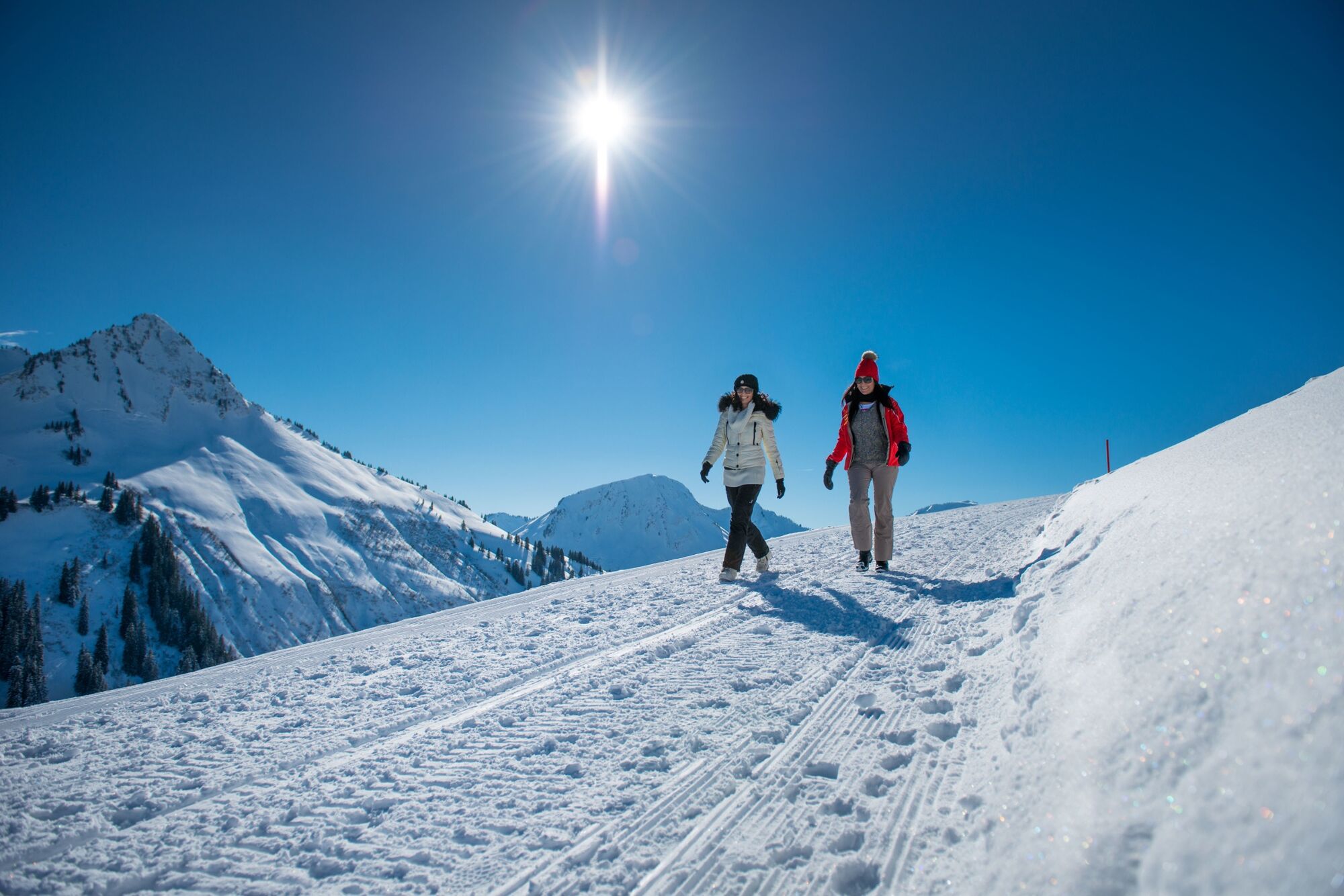
Magnificent circular hike at over 1,400 m altitude with a unique mountain panorama.
- Teškoća
-
lagano
- Vrednovanje
-
- Wegverlauf
-
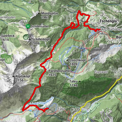
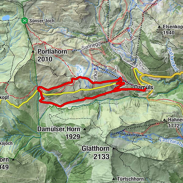
Damüls (1.423 m)0,1 kmAlpe Oberdamüls2,8 kmStofel3,0 kmDamüls (1.423 m)7,9 km
- Beste Jahreszeit
-
kolrujlisstuprosijveljožutrasvilipsrp
- Höchster Punkt
- 1.701 m
- Zielpunkt
-
Damüls, City center
- Höhenprofil
-

- Autor
-
Die Tour Damüls | Circular hike from peak to peak wird von outdooractive.com bereitgestellt.
GPS Downloads


Opće informacije
Einkehrmöglichkeit
Aussichtsreich
Weitere Touren in den Regionen