© Gemeinde Alberschwende - Karin Hillebrand

© Gemeinde Alberschwende - Karin Hillebrand

© Gemeinde Alberschwende - Karin Hillebrand

© Gemeinde Alberschwende - Karin Hillebrand

© Gemeinde Alberschwende - Karin Hillebrand

© Gemeinde Alberschwende - Karin Hillebrand

© Gemeinde Alberschwende - Karin Hillebrand

© Gemeinde Alberschwende - Karin Hillebrand

© Bregenzerwald Tourismus - Elisabeth Schneider

© Gemeinde Alberschwende - Karin Hillebrand


- Kratak opis
-
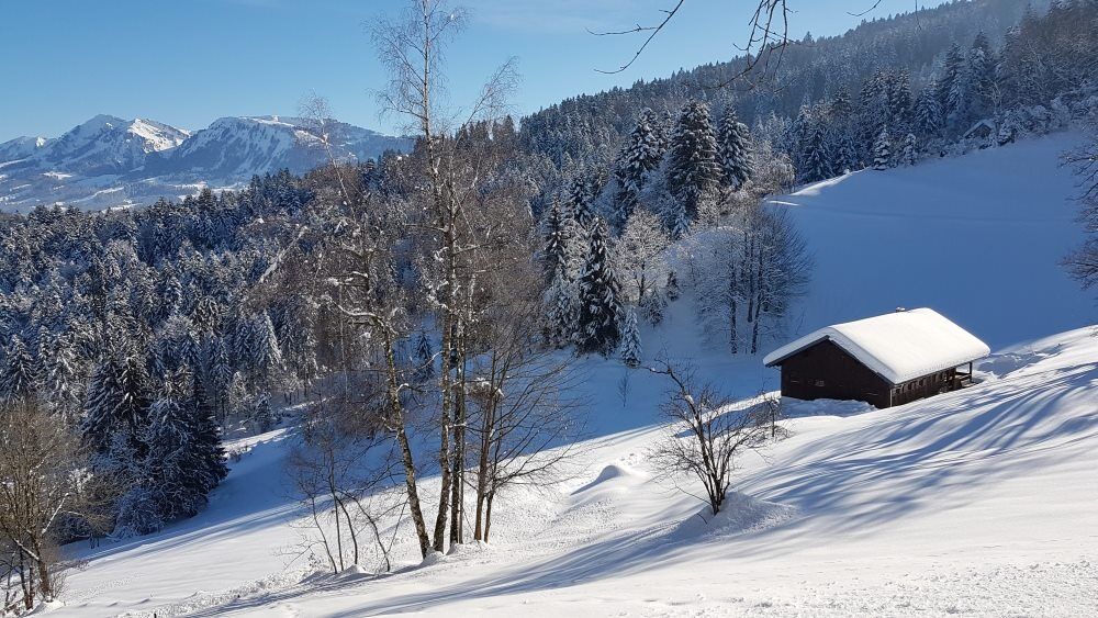
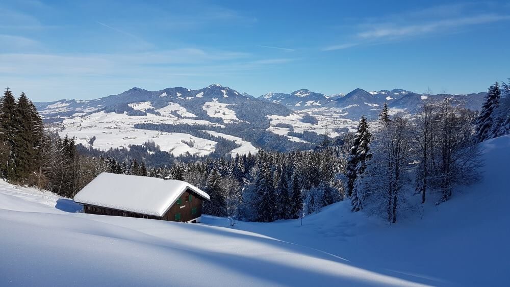
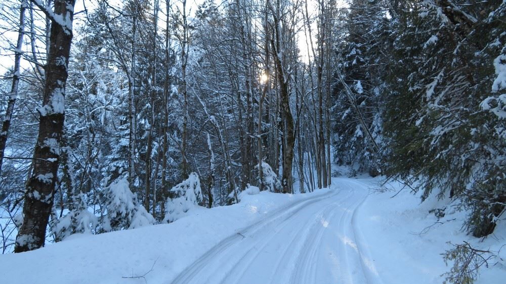
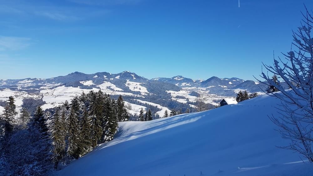
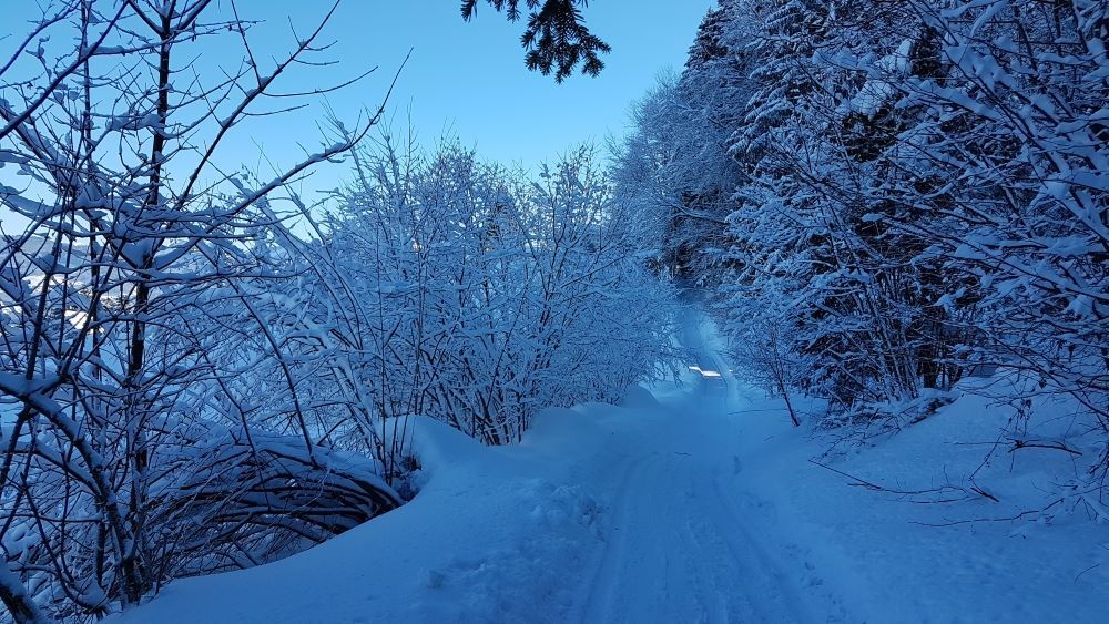
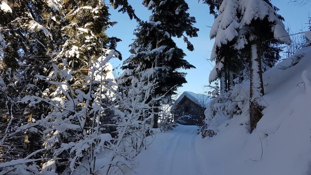
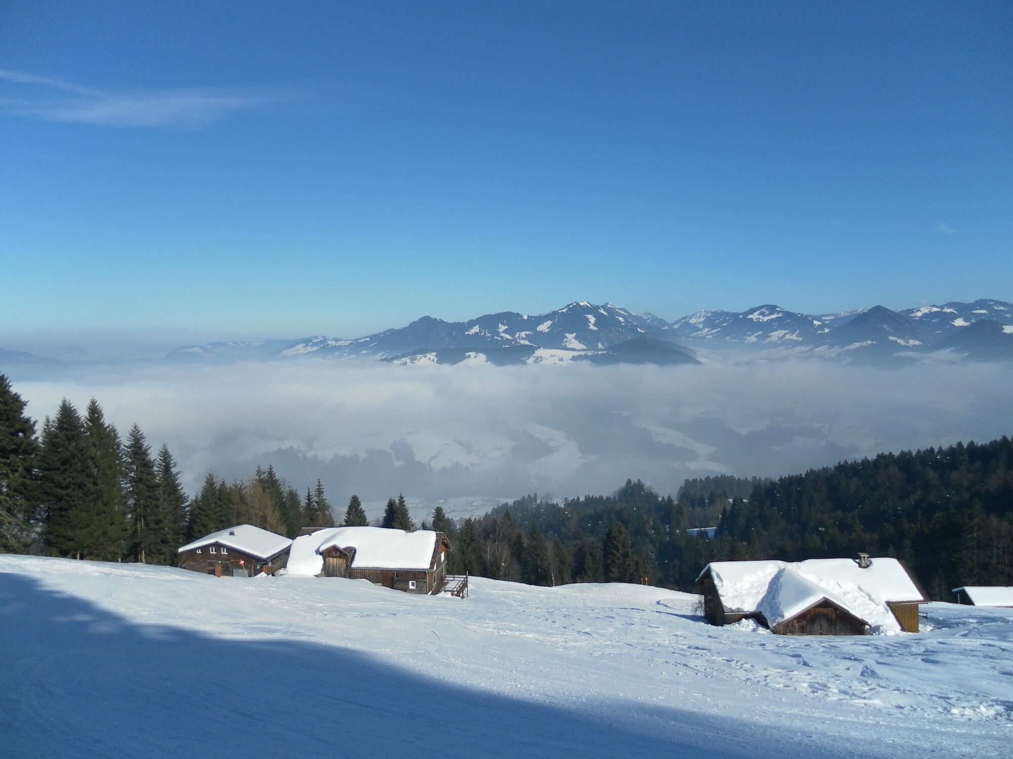
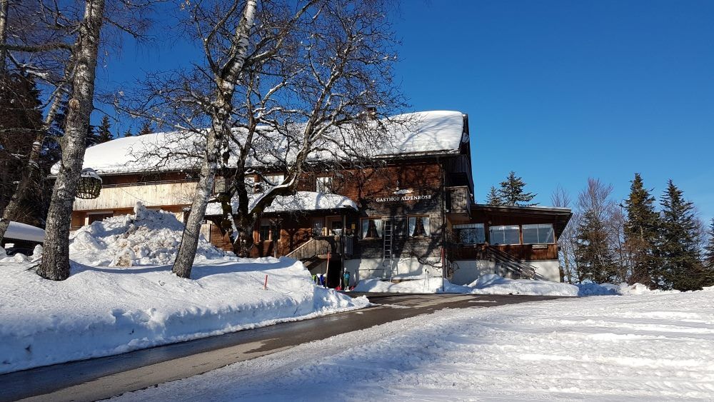
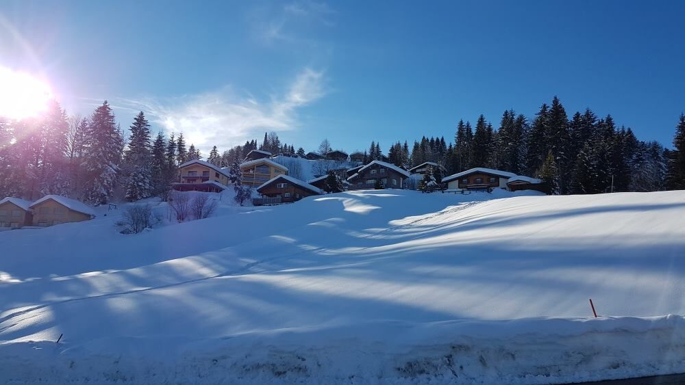
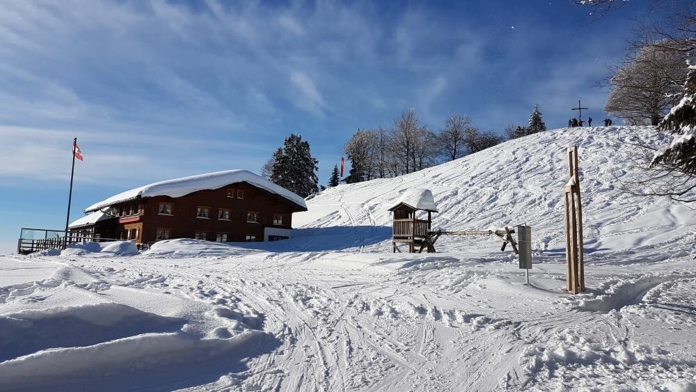
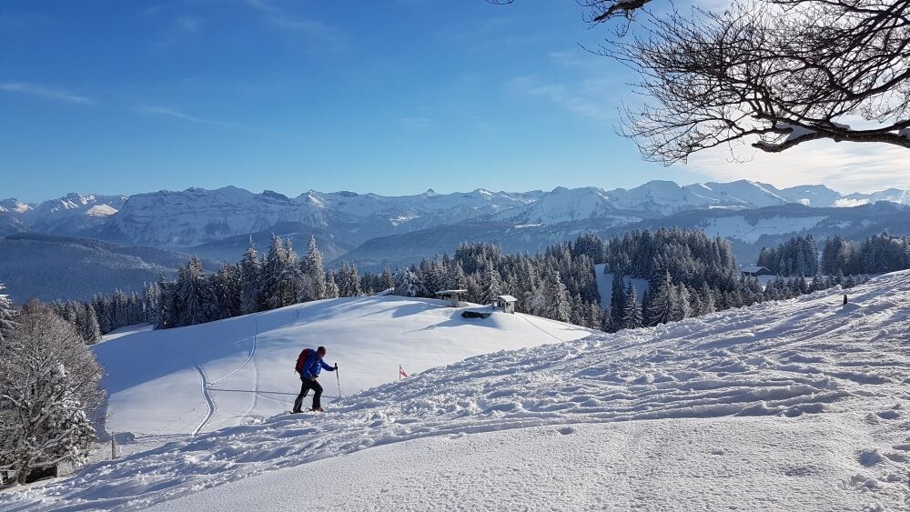
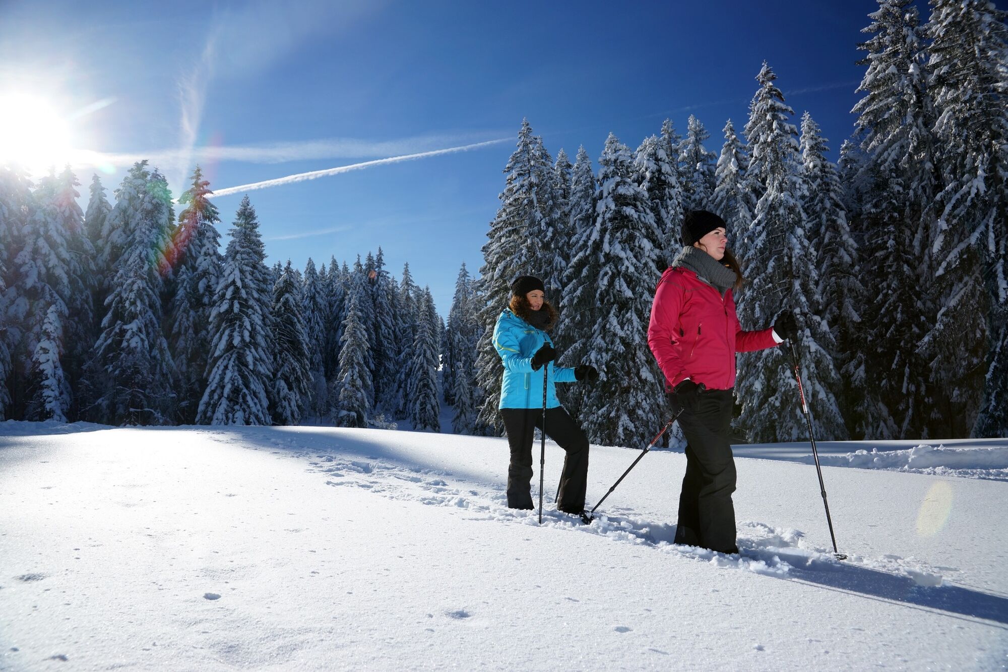
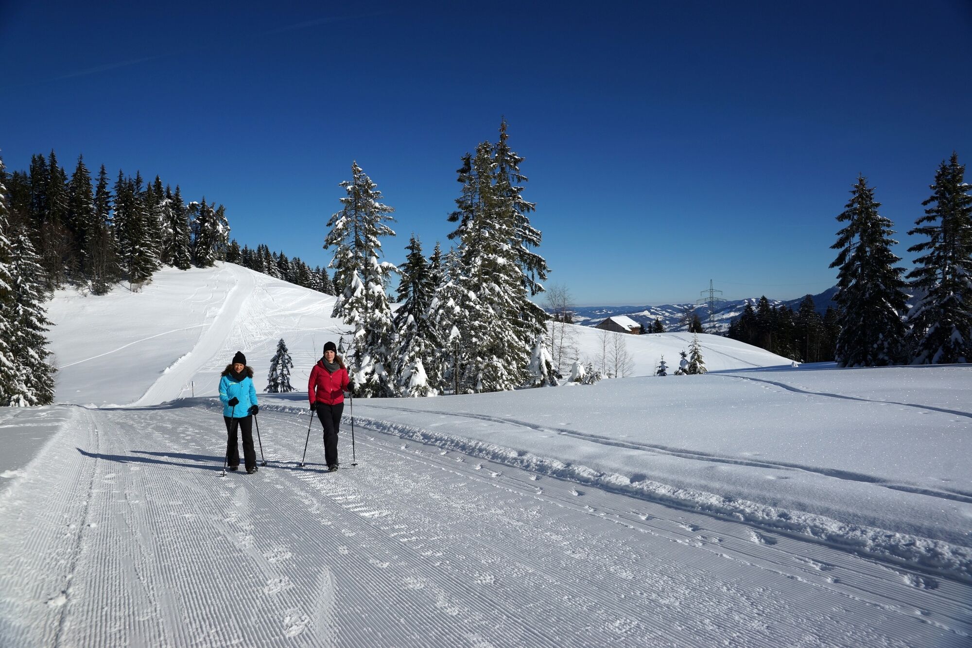
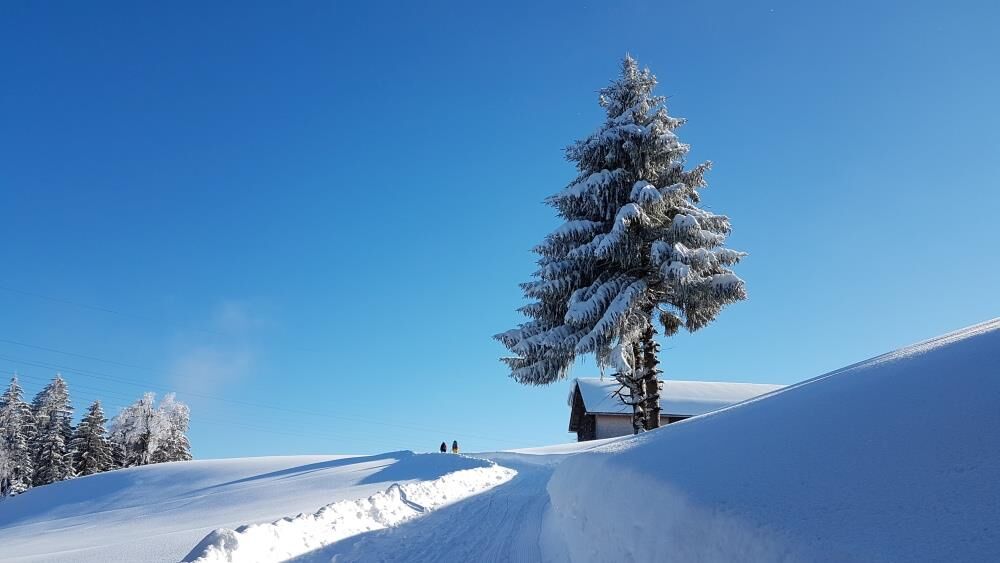
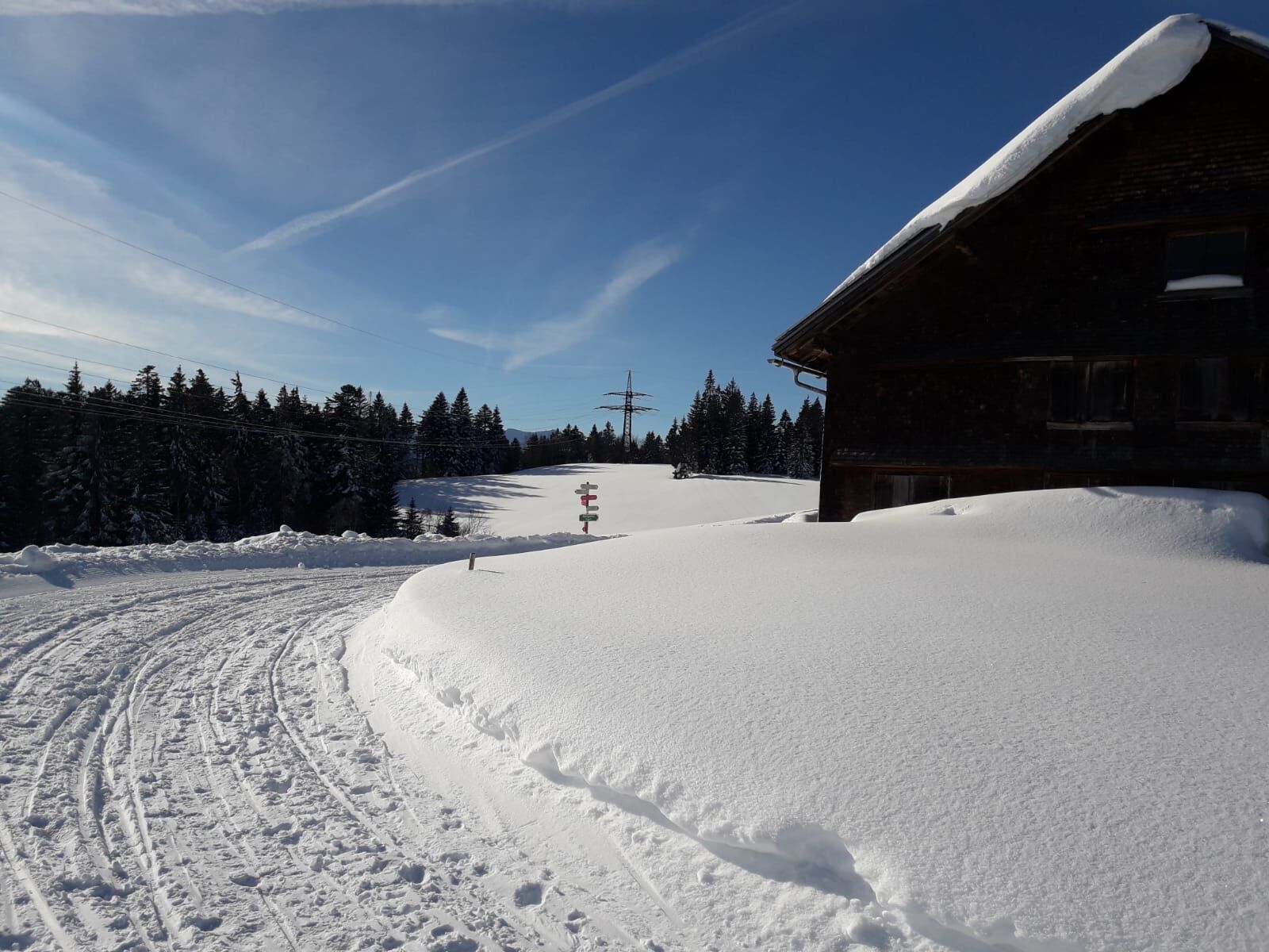
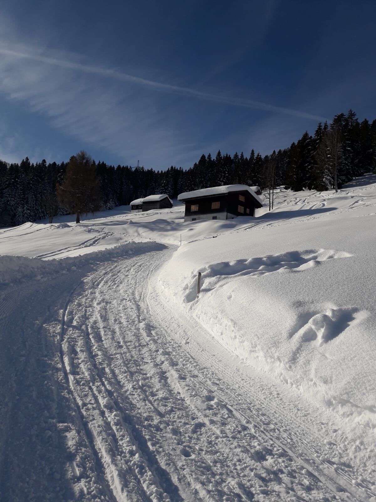
Scenic valley hike from the Brüggelekopf down to Alberschwende.
- Teškoća
-
srednje
- Vrednovanje
-
- Wegverlauf
-
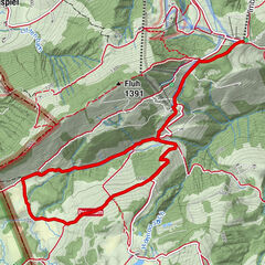
Zipfel0,1 kmAlberschwende0,1 kmBühel0,3 kmTannen1,5 kmAlpengasthof Brüggele6,2 kmBrüggelekopf (1.182 m)6,3 kmTannen9,7 kmBühel11,1 kmAlberschwende11,3 kmZipfel11,3 km
- Beste Jahreszeit
-
kolrujlisstuprosijveljožutrasvilipsrp
- Höchster Punkt
- 1.177 m
- Zielpunkt
-
Valley station of the Brüggelekopf chair lift
- Höhenprofil
-


- Autor
-
Die Tour Alberschwende | From the peak to the valley wird von outdooractive.com bereitgestellt.
GPS Downloads


Opće informacije
Einkehrmöglichkeit
Aussichtsreich
Weitere Touren in den Regionen
-
St. Gallen - Bodensee
115
-
Bregenzerwald
169
-
Alberschwende
43