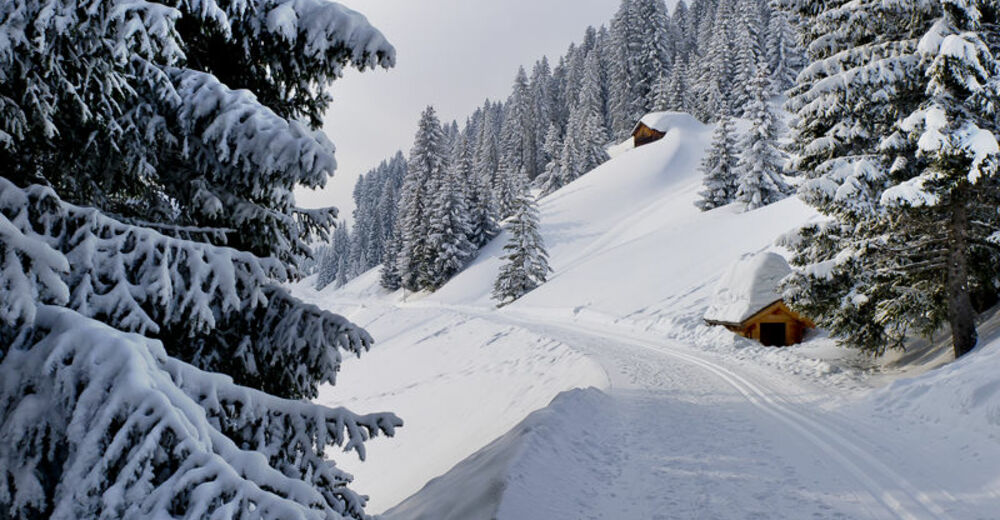
© Damüls Faschina Tourismus - Matthias Greilach


- Kratak opis
-
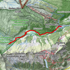
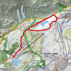
Parkplatz Sesselbahn Oberdamüls - Abzweigung Gasthaus zum Glöckle - Alpe Unterdamüls und retour
- Teškoća
-
lagano
- Vrednovanje
-
- Wegverlauf
-
Damüls (1.423 m)Alpe Unterdamüls2,7 kmDamüls (1.423 m)5,6 km
- Beste Jahreszeit
-
kolrujlisstuprosijveljožutrasvilipsrp
- Höchster Punkt
- 1.509 m
- Zielpunkt
-
Damüls Kirchdorf
- Höhenprofil
-


-
-
AutorDie Tour Damüls | "Schmuseweg" zur Alpe Unterdamüls wird von outdooractive.com bereitgestellt.
GPS Downloads


Opće informacije
Einkehrmöglichkeit
Aussichtsreich
Weitere Touren in den Regionen