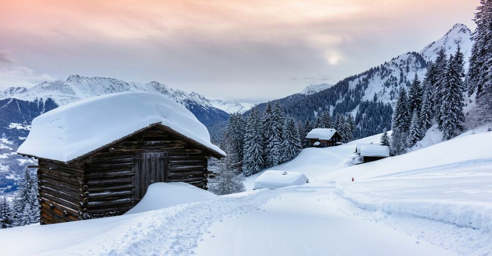
© Montafon Tourismus GmbH, Andreas Haller
© Montafon Tourismus GmbH, Andreas Haller
© Montafon Tourismus GmbH, Andreas Haller
© Montafon Tourismus GmbH, Andreas Haller
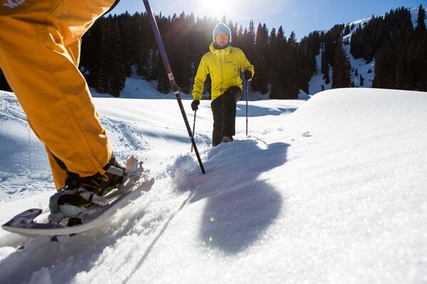
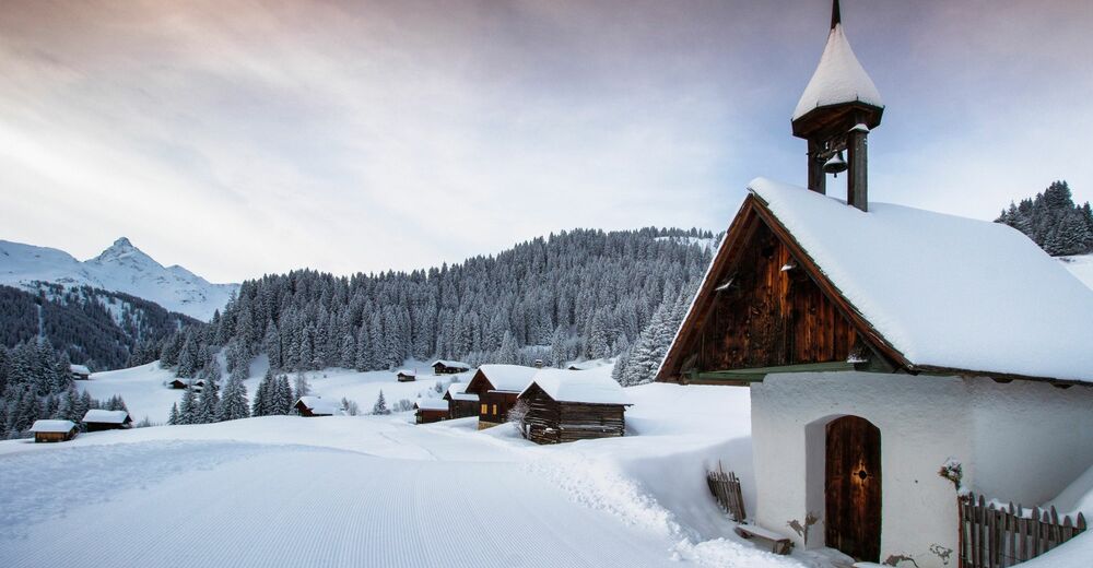
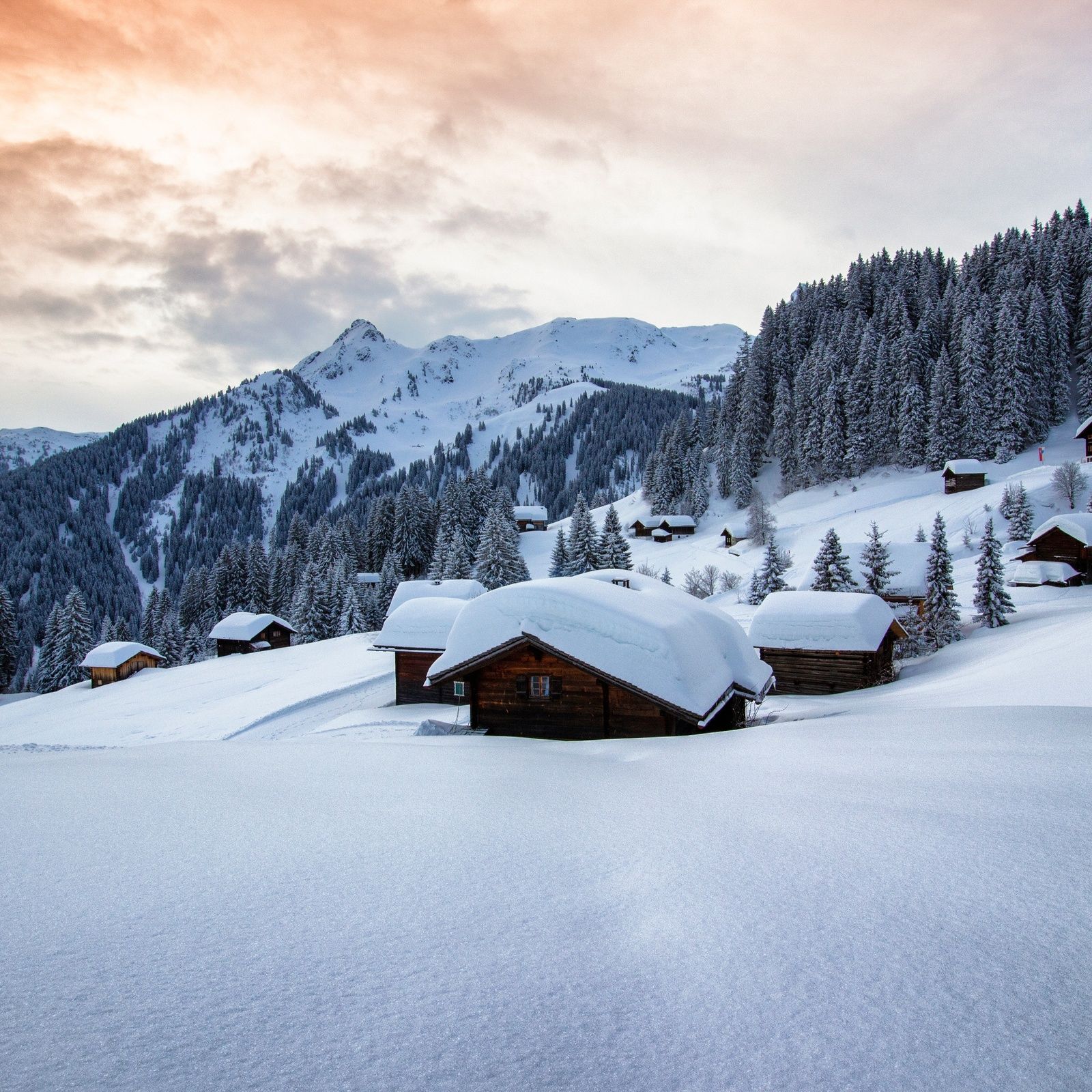
© Montafon Tourismus GmbH / Roland Fritsch
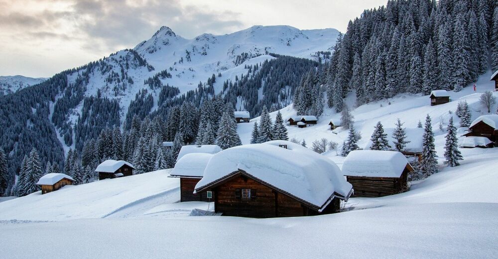
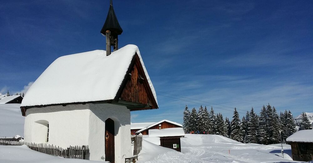
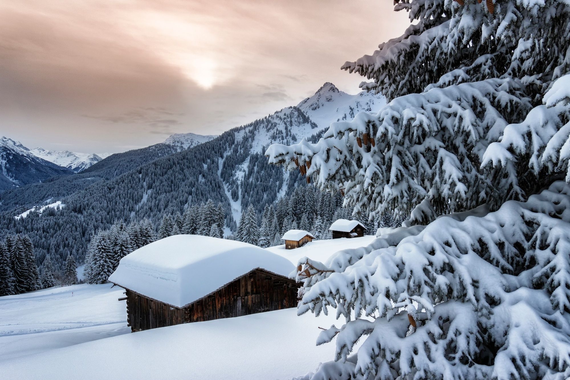
© Montafon Tourismus GmbH / Roland Fritsch
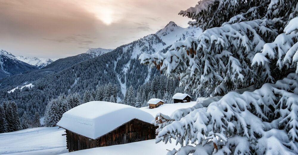
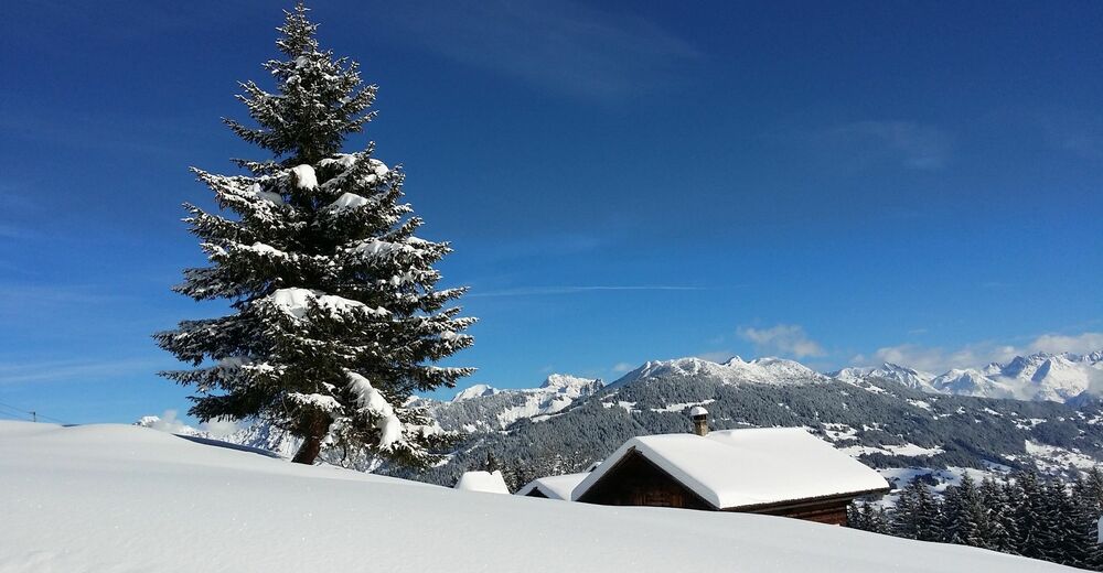
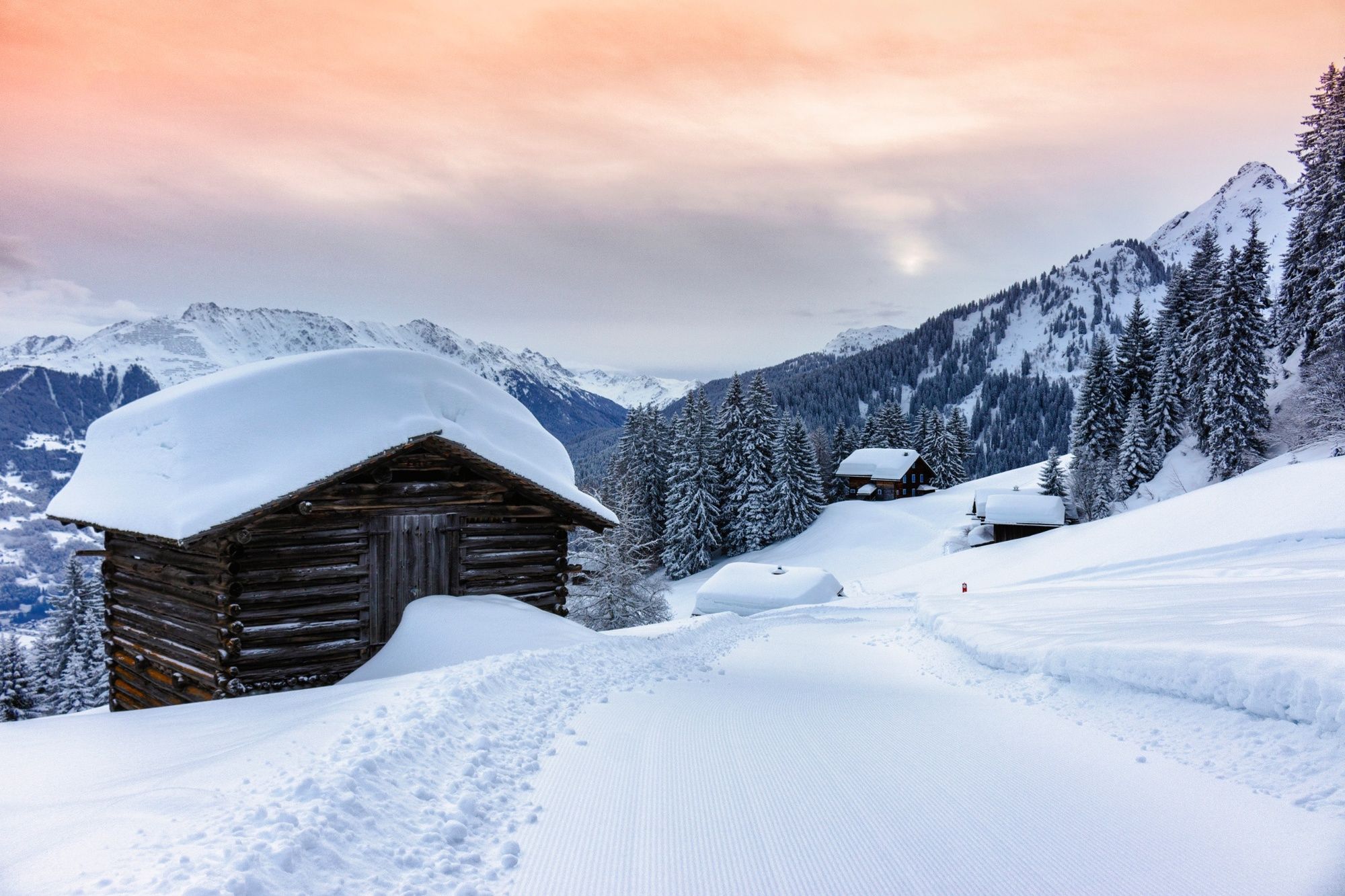
© Montafon Tourismus GmbH / Roland Fritsch
© Montafon
© Montafon
© Montafon Tourismus GmbH / Roland Fritsch

- Kratak opis
-
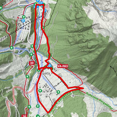
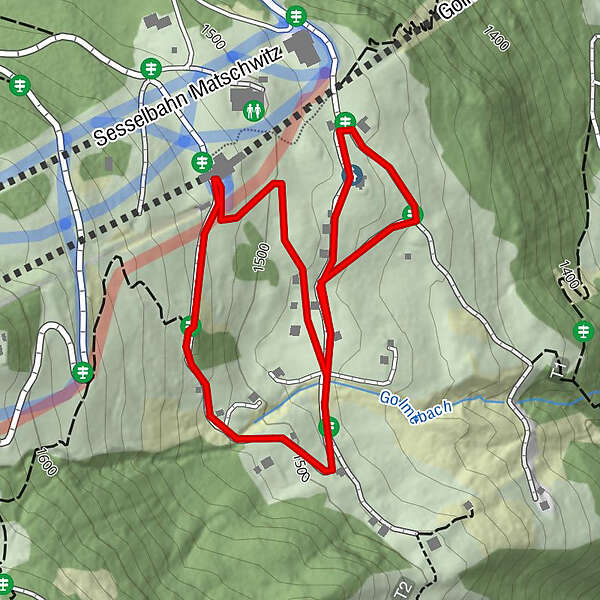
Matschwitz (Mittelstation Golmerbahn) - Rundweg Maisäßsiedlung
- Teškoća
-
lagano
- Vrednovanje
-
- Wegverlauf
-
Matschwitz (1.521 m)1,5 km
- Beste Jahreszeit
-
kolrujlisstuprosijveljožutrasvilipsrp
- Höchster Punkt
- 1.525 m
- Zielpunkt
-
Mittelstation Golmerbahn Matschwitz
- Höhenprofil
-

-

-
AutorDie Tour Matschwitzer Maiensäßweg wird von outdooractive.com bereitgestellt.
GPS Downloads


Opće informacije
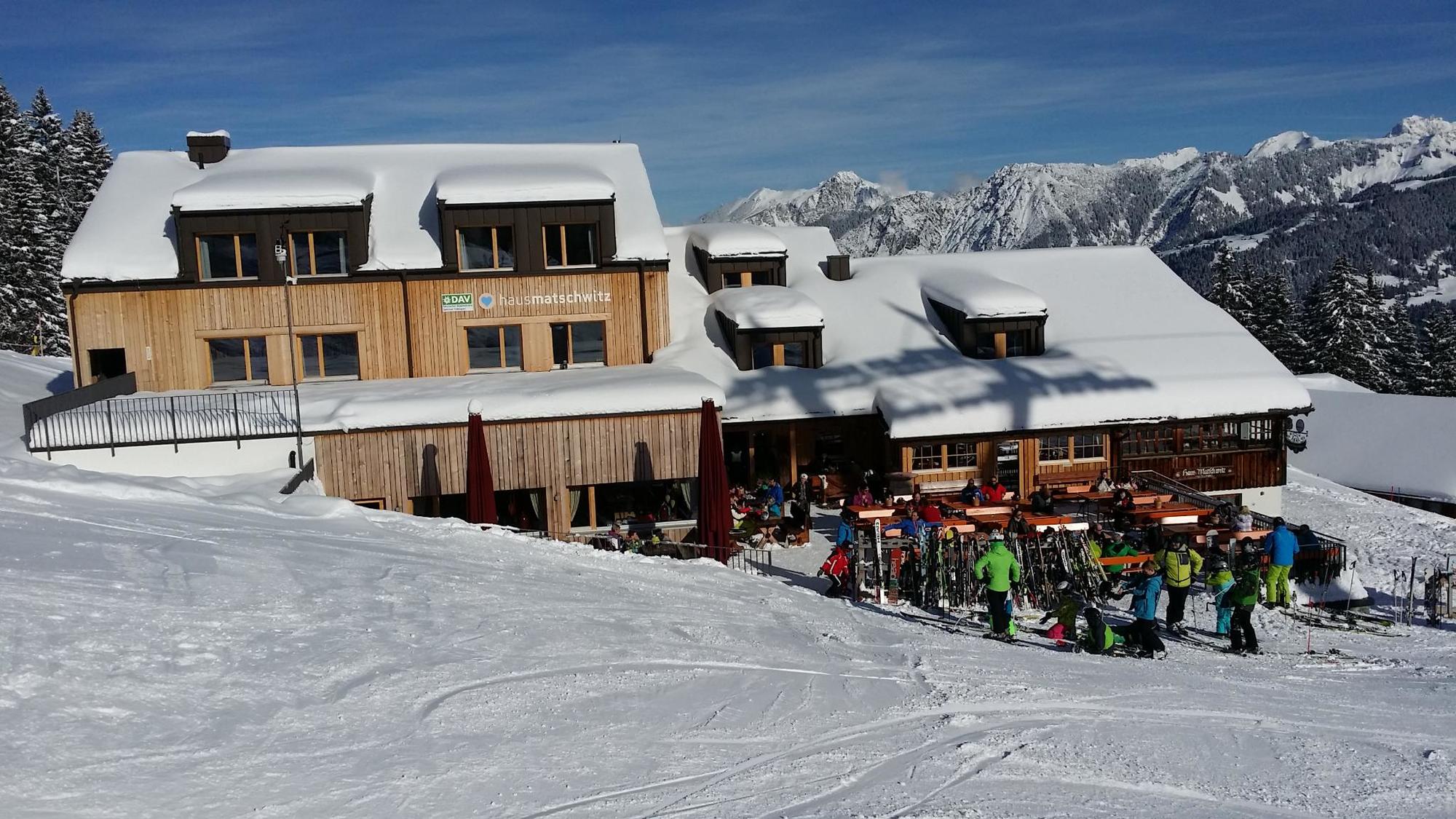
Einkehrmöglichkeit
Aussichtsreich
Weitere Touren in den Regionen
-
Montafon
163
-
Golm im Montafon
76