© Kleinwalsertal - Kleinwalsertal Tourismus eGen

© Kleinwalsertal - Kleinwalsertal Tourismus eGen

© Kleinwalsertal - Kleinwalsertal Tourismus eGen

© Kleinwalsertal - Kleinwalsertal Tourismus eGen

© Kleinwalsertal - Kleinwalsertal Tourismus eGen

© Kleinwalsertal - Kleinwalsertal Tourismus eGen

© Kleinwalsertal - Kleinwalsertal Tourismus eGen

© Kleinwalsertal - Kleinwalsertal Tourismus eGen

© Kleinwalsertal - Kleinwalsertal Tourismus eGen

© Kleinwalsertal - Kleinwalsertal Tourismus eGen

- Kratak opis
-
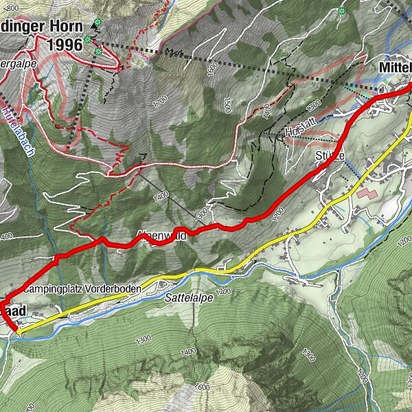
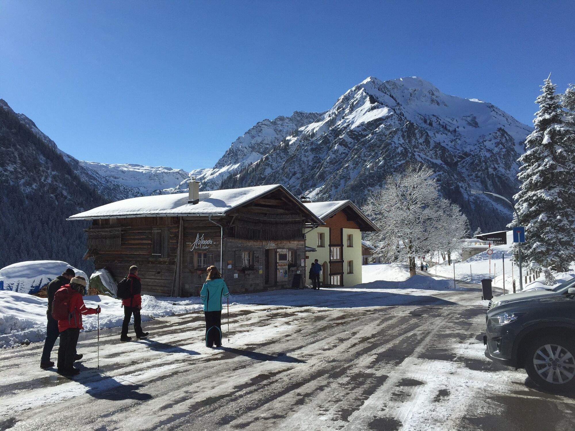
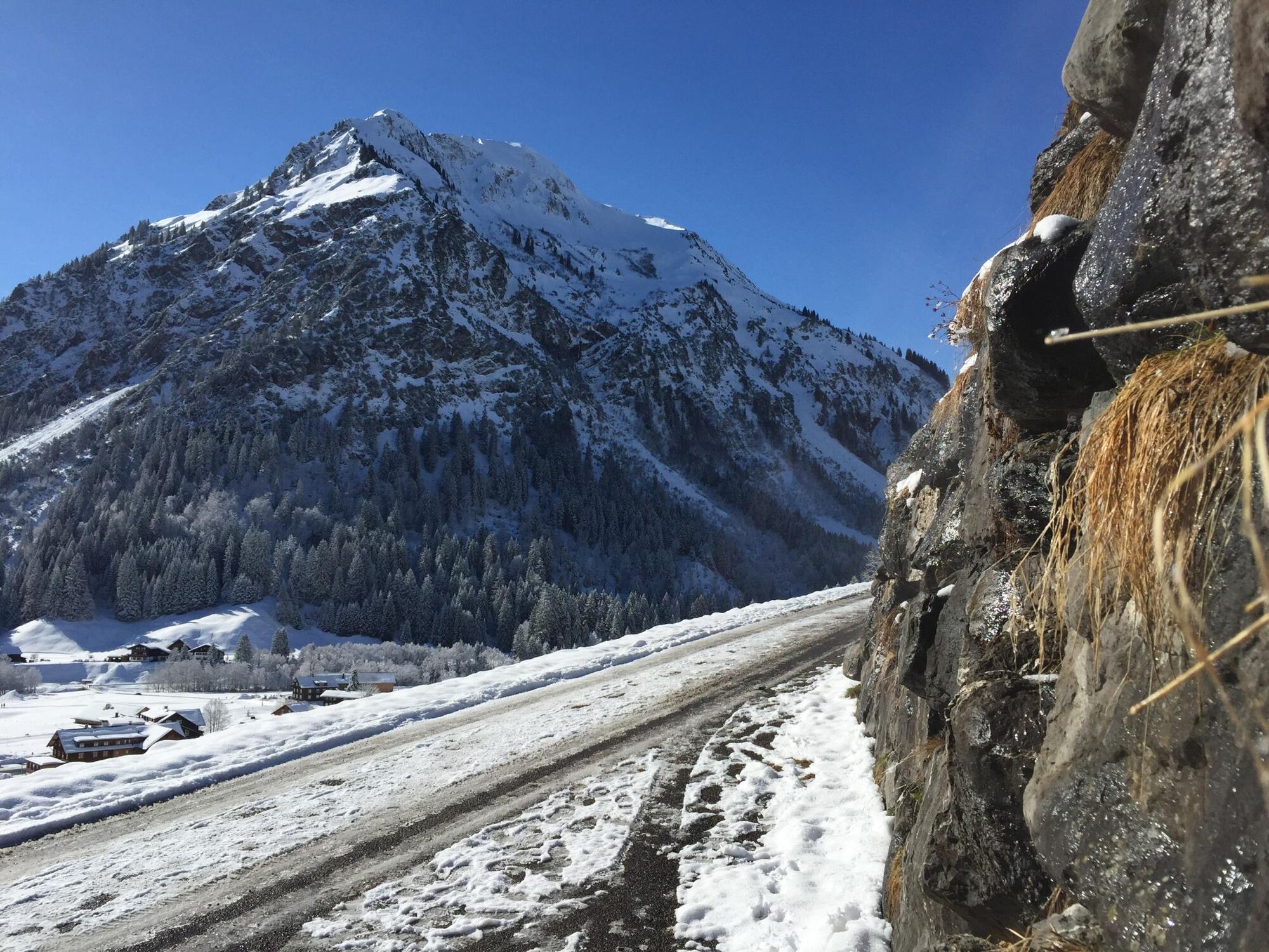
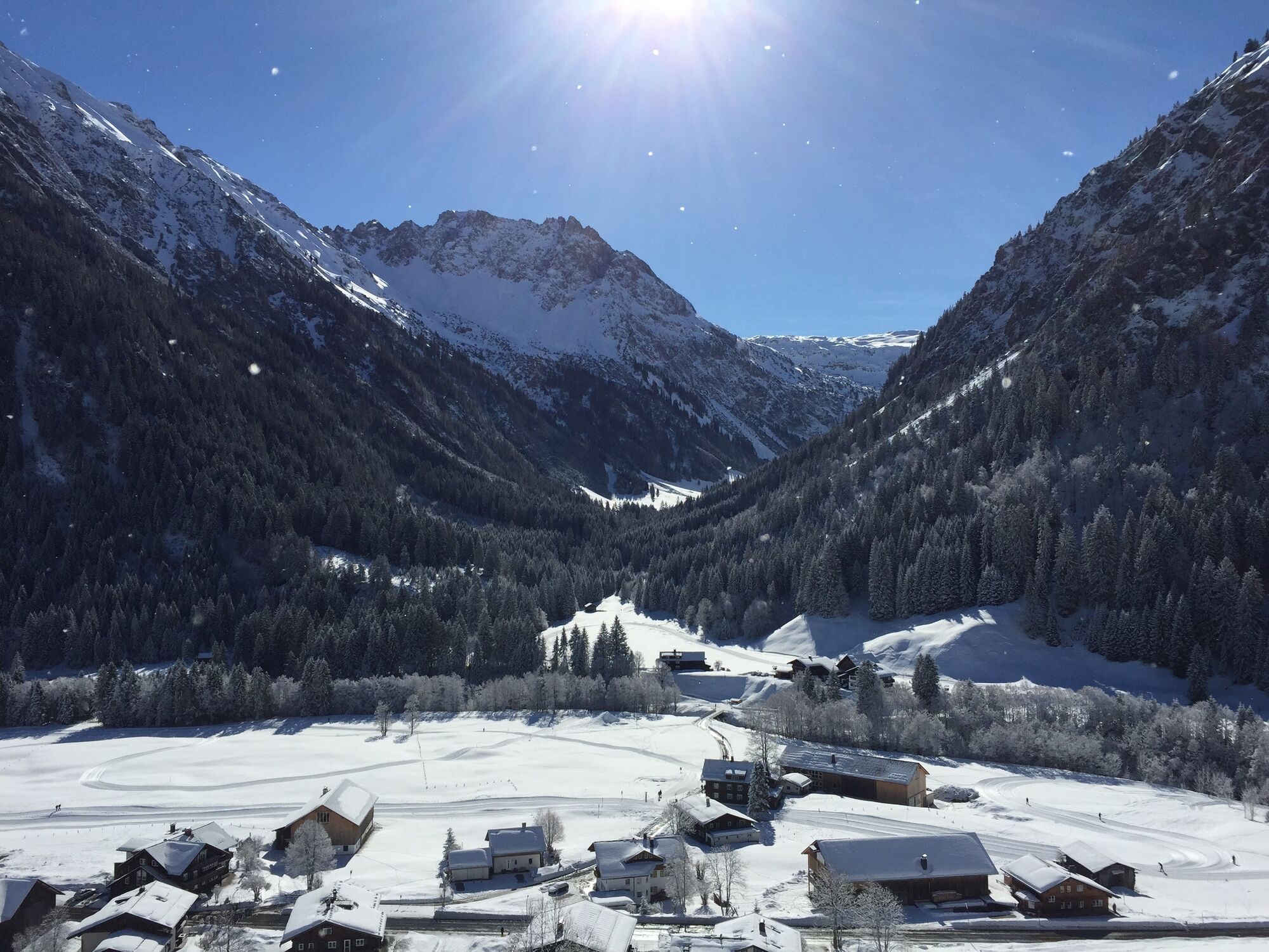
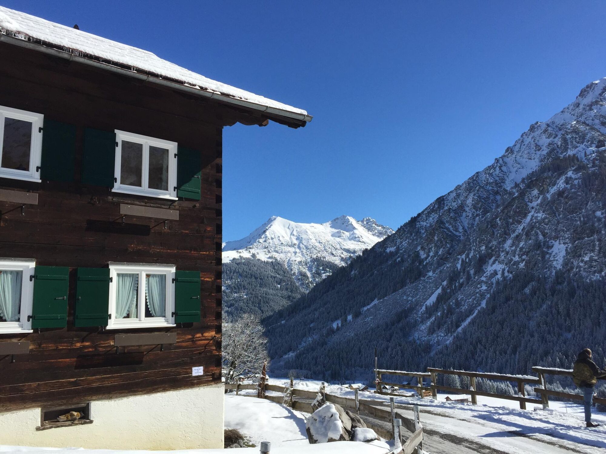
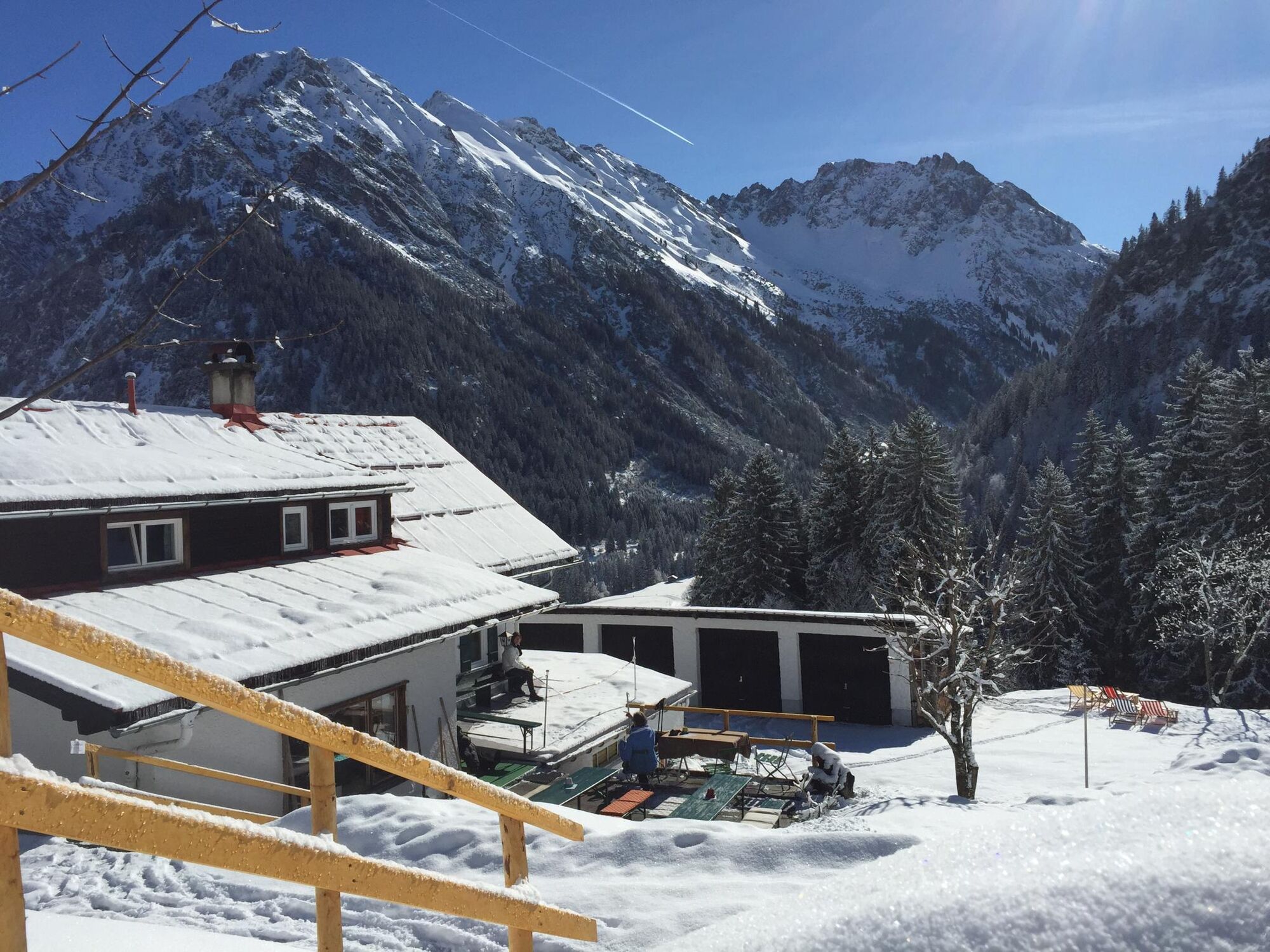
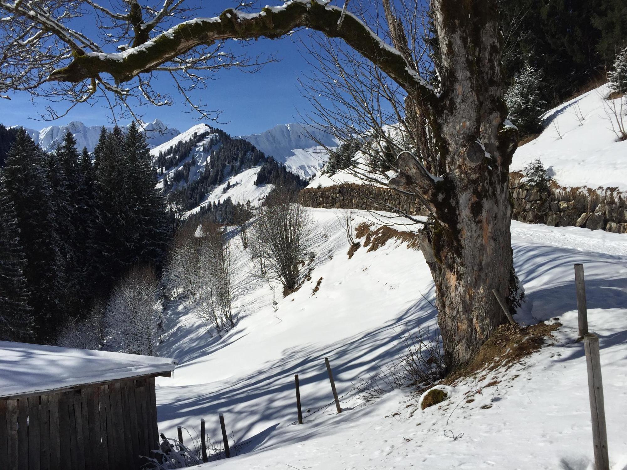
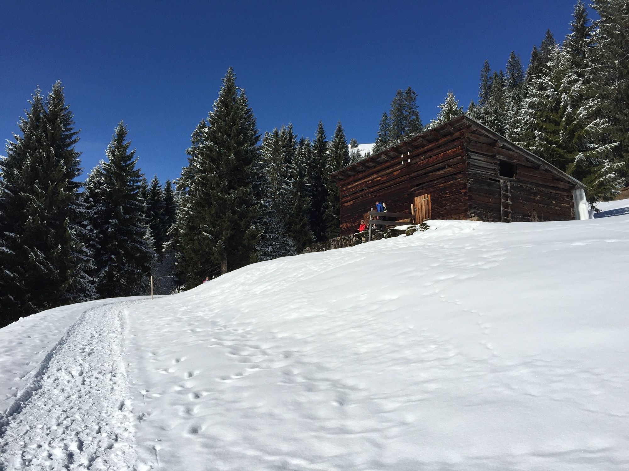
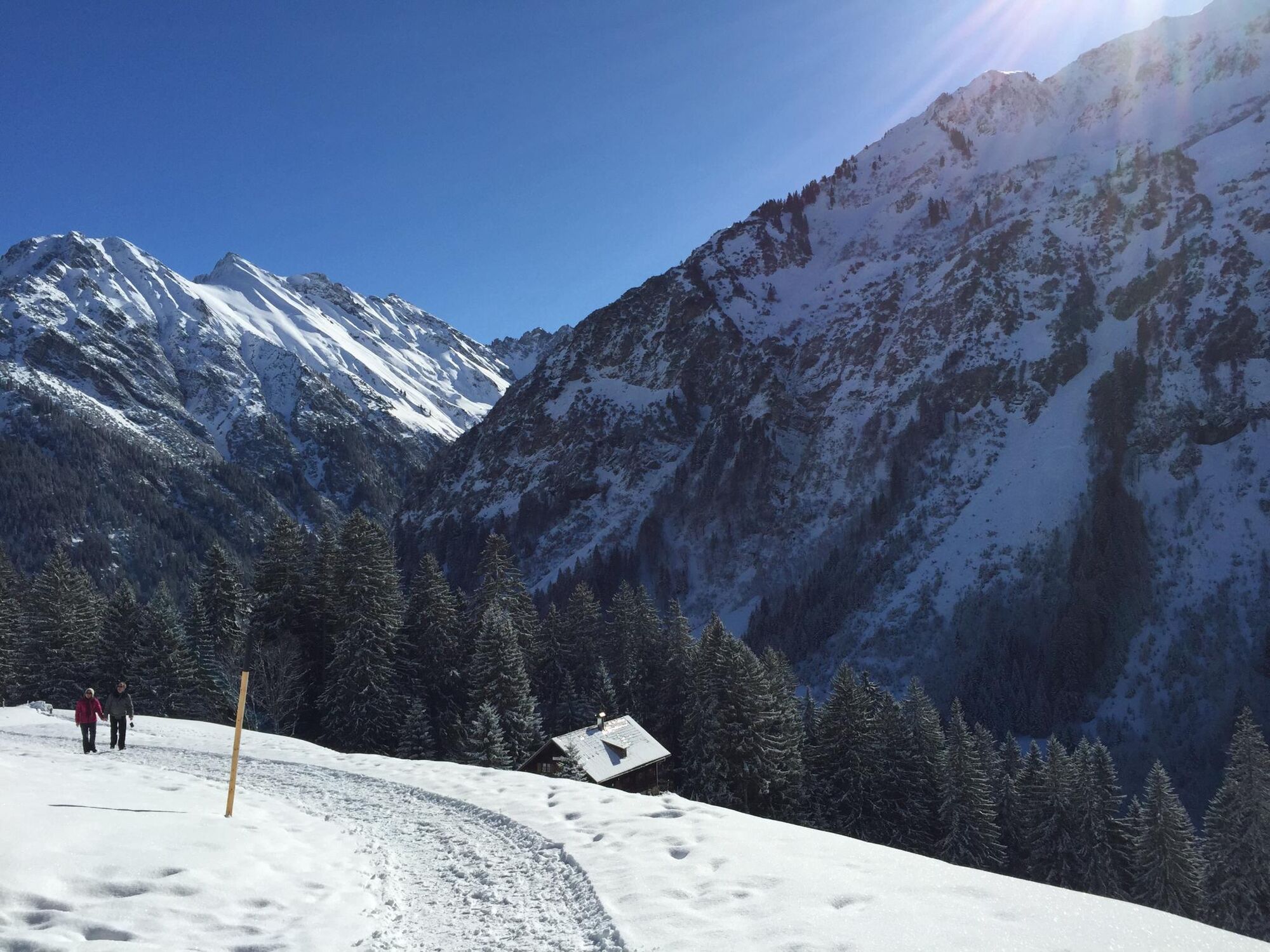
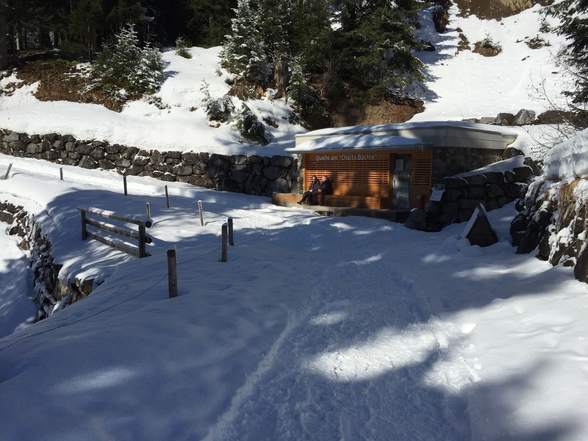
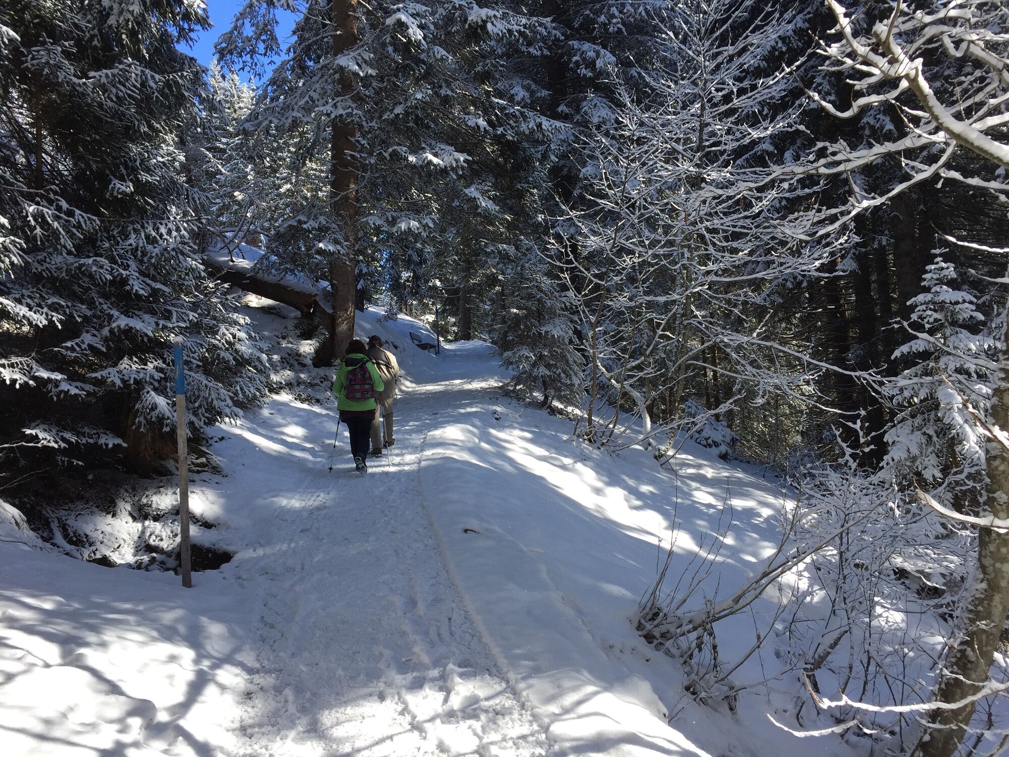
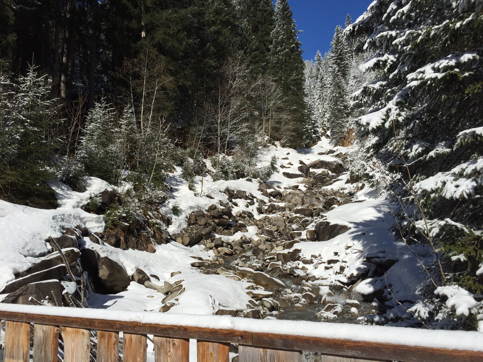
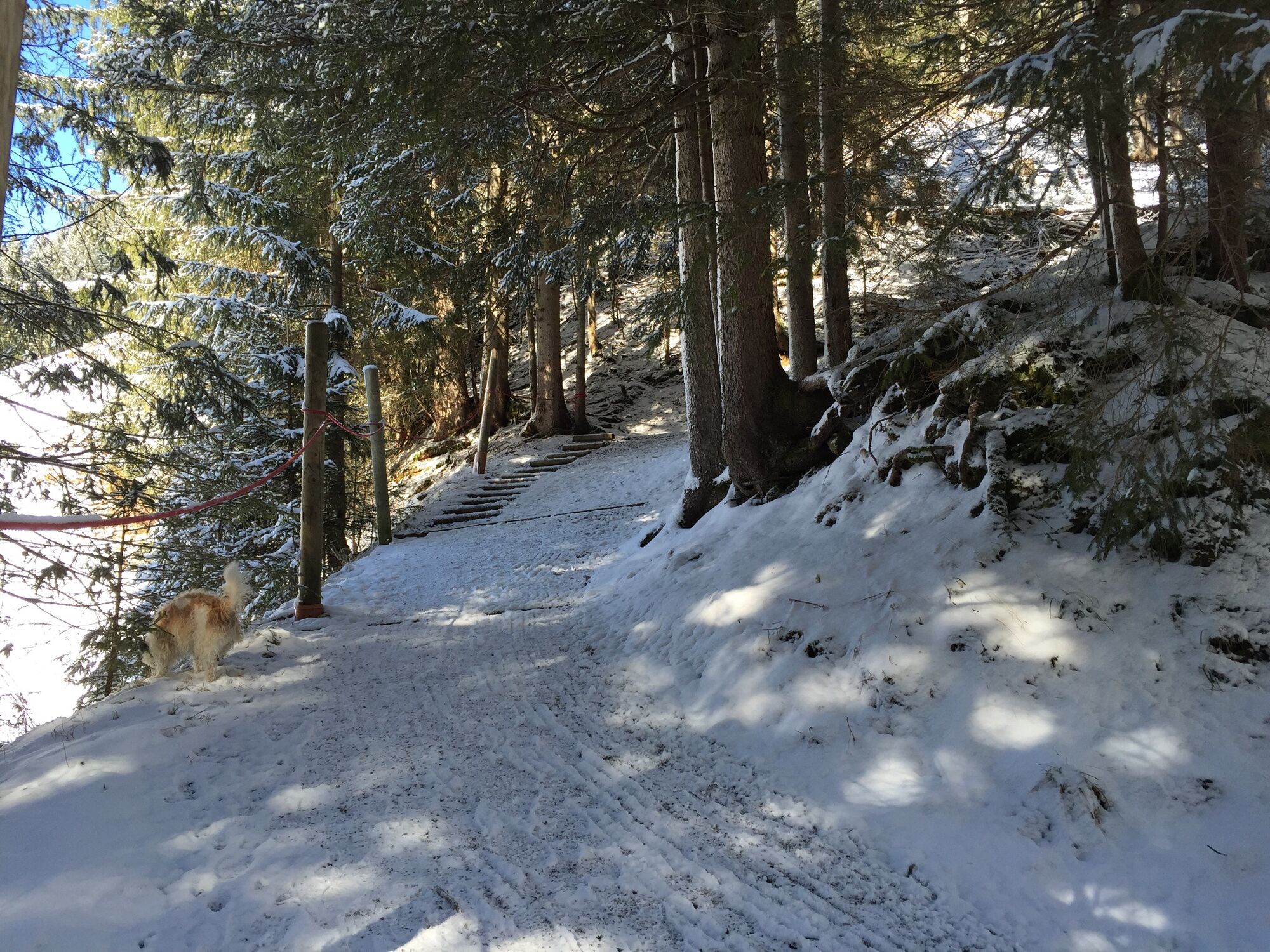
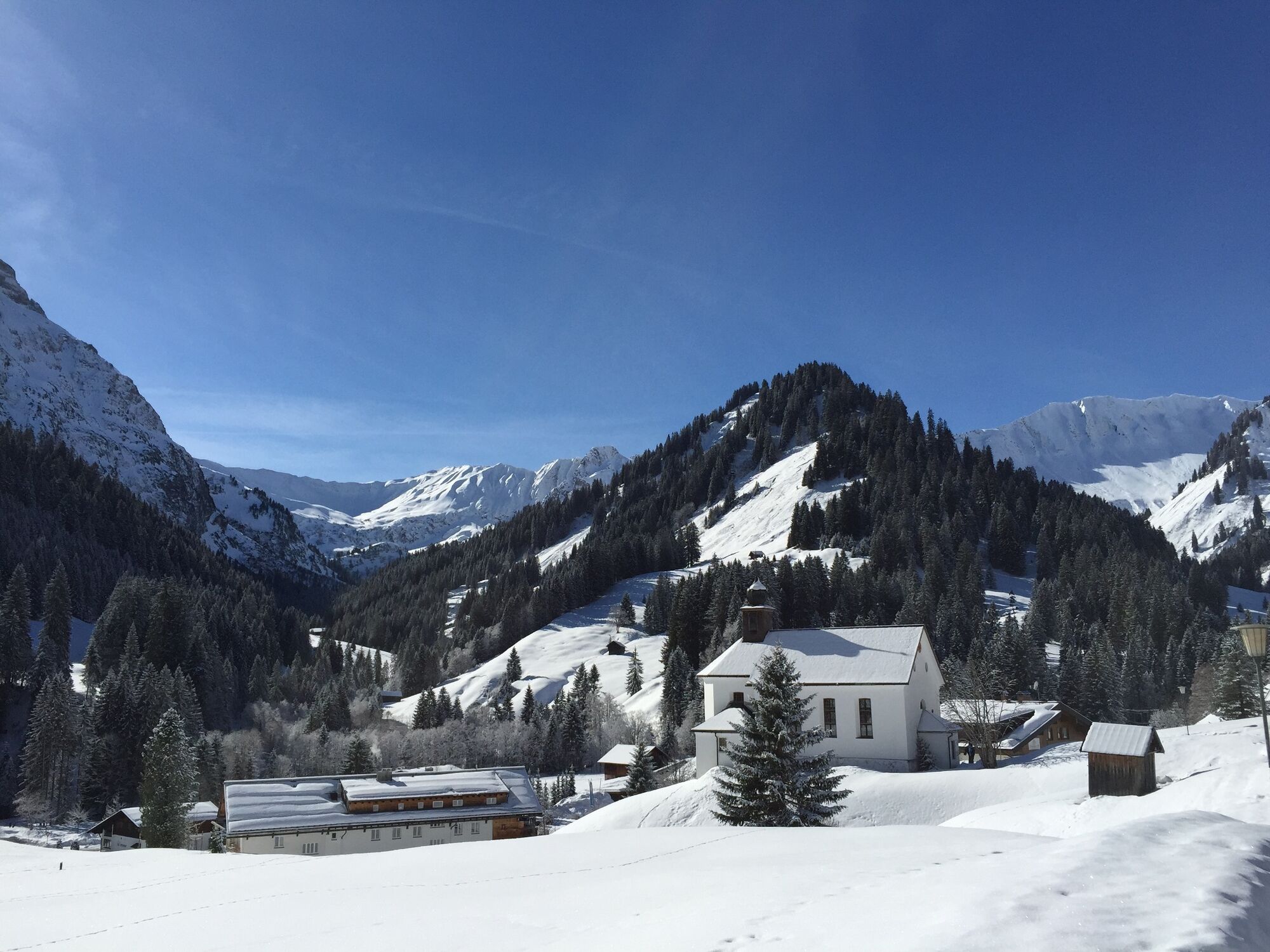
Short shadowy passages and breathtaking view on the Walser mountain arena characterize this panoramic path connecting Mittelberg and Baad.
- Teškoća
-
lagano
- Vrednovanje
-
- Wegverlauf
-
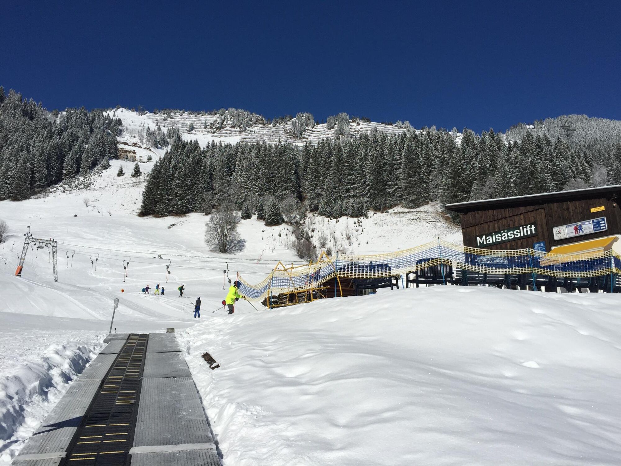
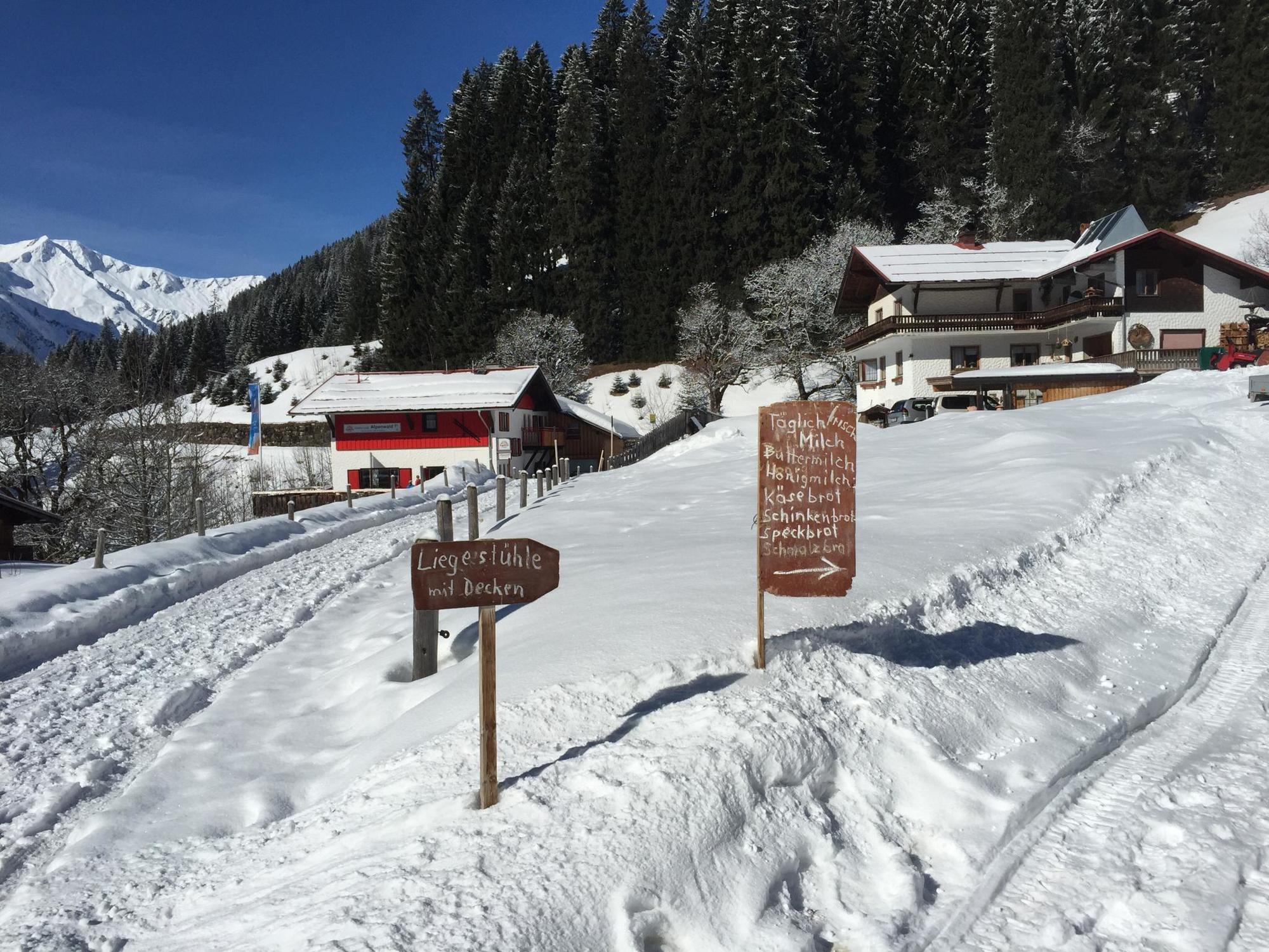
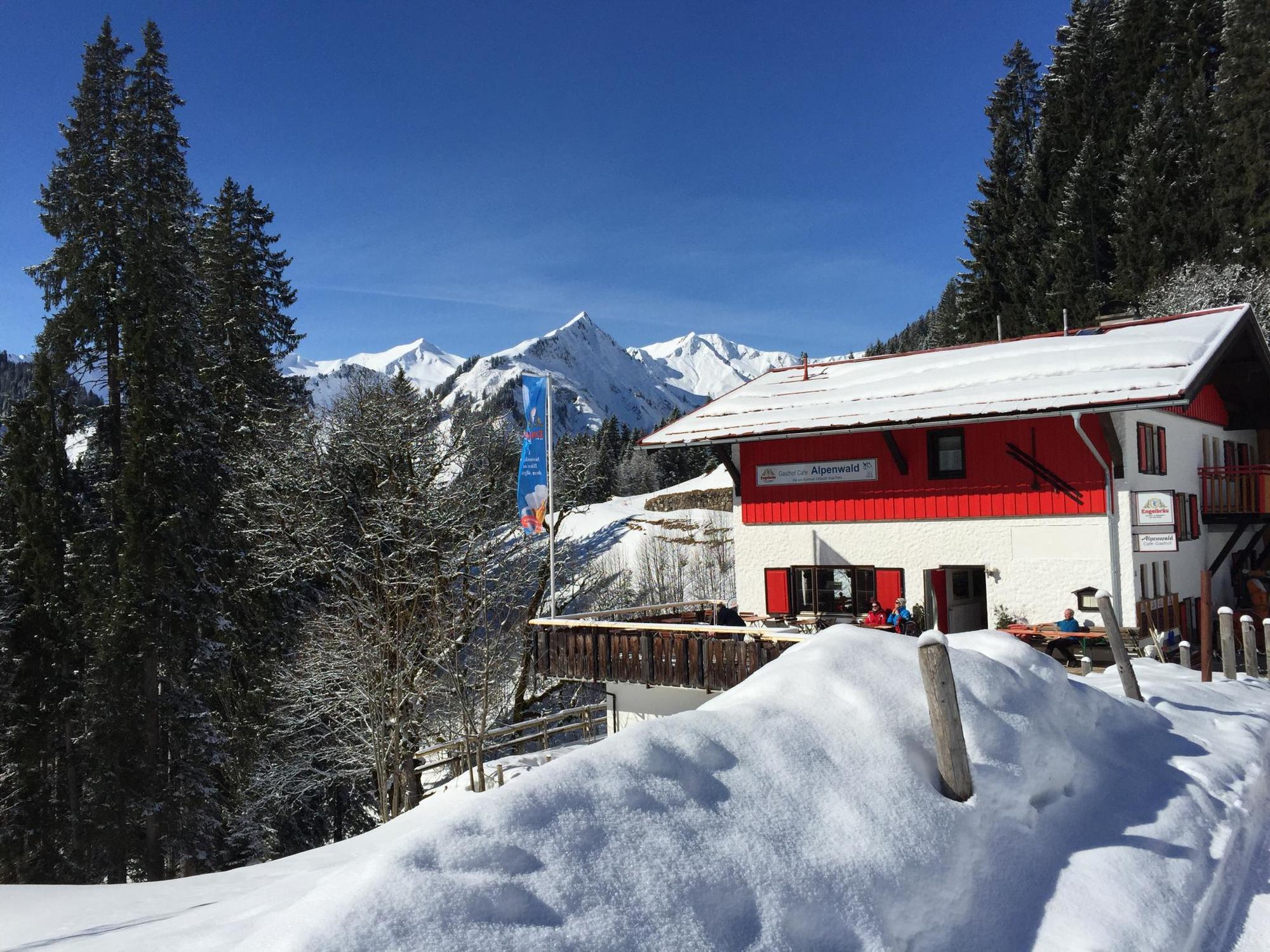
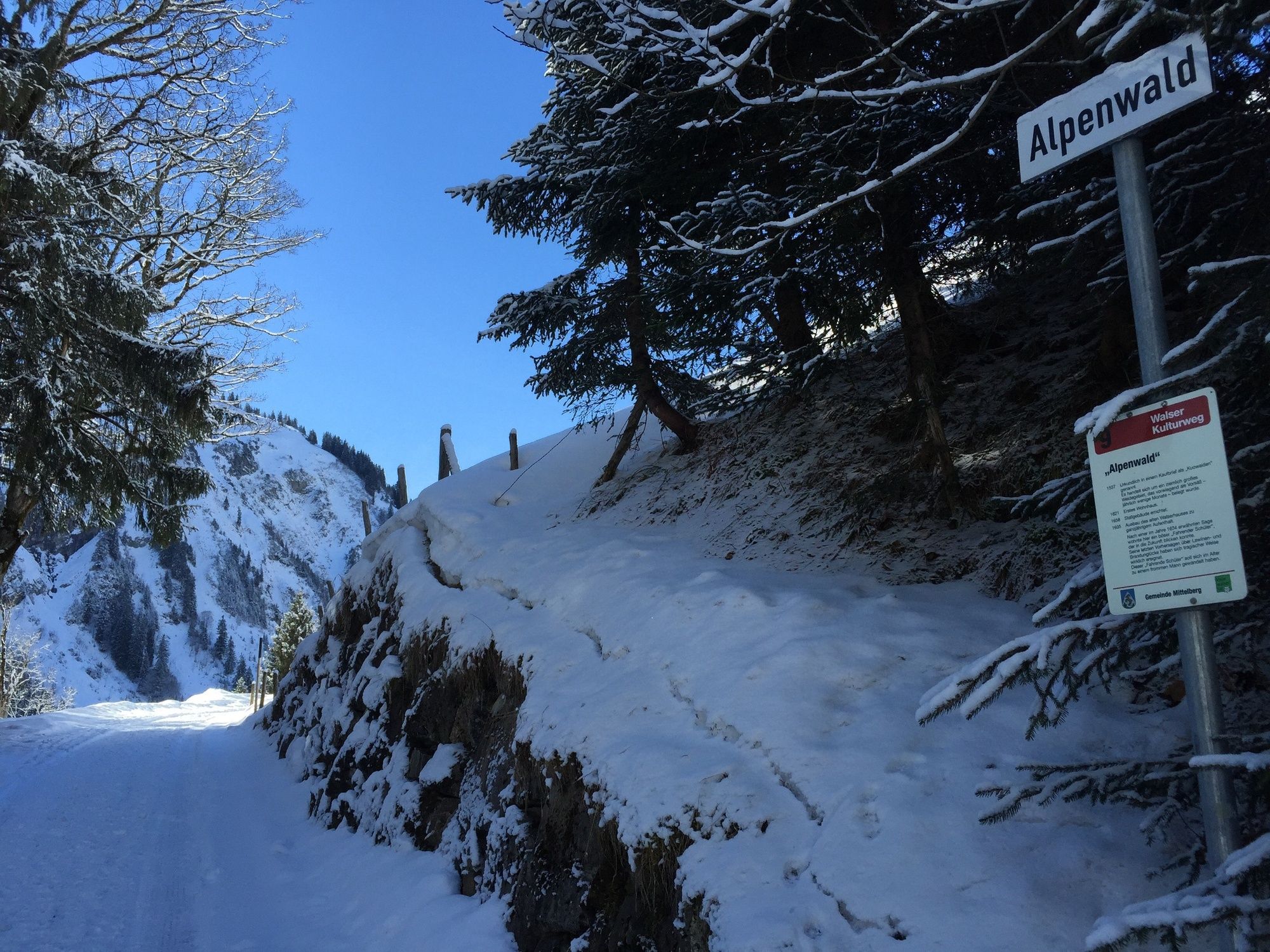
Mittelberg (1.215 m)Mooslift (1.315 m)0,1 kmMaisäßlift0,6 kmJedermannlift0,7 kmStütze0,7 kmAlpenwald2,0 kmKapelle St. Martin3,2 kmBaad (1.244 m)3,3 kmAlpenhotel Widderstein3,4 kmRestaurant Kuhstall3,4 km
- Beste Jahreszeit
-
kolrujlisstuprosijveljožutrasvilipsrp
- Höchster Punkt
- 1.323 m
- Zielpunkt
-
Baad
- Höhenprofil
-


- Autor
-
Die Tour Baad high path wird von outdooractive.com bereitgestellt.
GPS Downloads


Opće informacije
Einkehrmöglichkeit
Aussichtsreich
Weitere Touren in den Regionen
-
Kleinwalsertal
168
-
Mittelberg
48