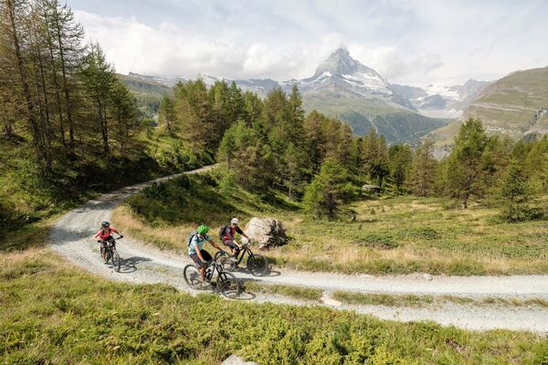
© Valais/Wallis Promotion - Pascal Gertschen

© Valais/Wallis Promotion - Pascal Gertschen

© Valais/Wallis Promotion - Pascal Gertschen

© Valais/Wallis Promotion - Pascal Gertschen

© Switzerland Tourism - Phillippe Woodtli - Phillippe Woodtli

© Valais/Wallis Promotion - David Carlier

© Valais/Wallis Promotion - David Carlier

© Valais Wallis


- Kratak opis
-
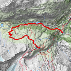
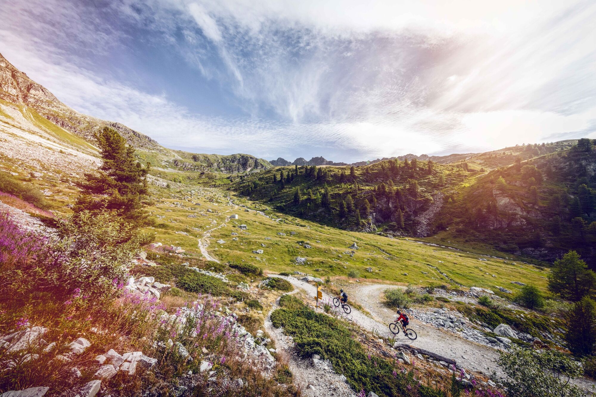
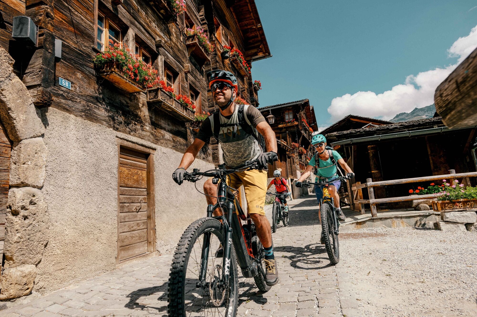
This stage will give you a chance to discover the Val d'Anniviers in all its splendour, from St-Luc to Grimentz, along with a breathtaking view of Lac de Moiry.
- Teškoća
-
srednje
- Vrednovanje
-
- Wegverlauf
-
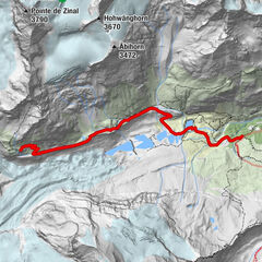
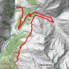
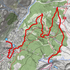
Tignousa (2.182 m)0,0 kmTignousa0,1 kmMottec15,3 kmPralong16,3 kmVernec16,3 kmLe Bouillet16,9 kmZinal (1.675 m)17,7 kmZinal (1.663 m)17,9 kmSorebois19,6 kmLa Vouarda (2.687 m)21,6 kmClems & Fabs25,8 km
- Beste Jahreszeit
-
sijveljožutrasvilipsrpkolrujlisstupro
- Höchster Punkt
- 2.850 m
- Zielpunkt
-
Grimentz
- Höhenprofil
-
 © outdooractive.com


- Autor
-
Die Tour Valais Alpine Bike 7. St-Luc - Grimentz wird von outdooractive.com bereitgestellt.
GPS Downloads


Putevi
Pokus
Opće informacije
Einkehrmöglichkeit
Kulturell/Historisch
Geheimtipp
Flora
Fauna
Aussichtsreich
Weitere Touren in den Regionen
-
Unterwallis
145
-
Sierre Anniviers
119
-
Grimentz / St-Jean
20