© Valais/Wallis Promotion - Nicolas Mari
© Valais/Wallis Promotion - Pascal Gertschen - Pascal Gertschen

- Kratak opis
-
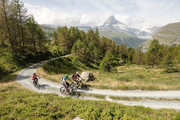
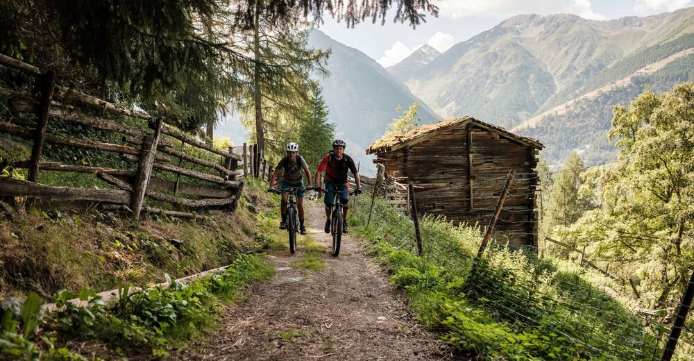
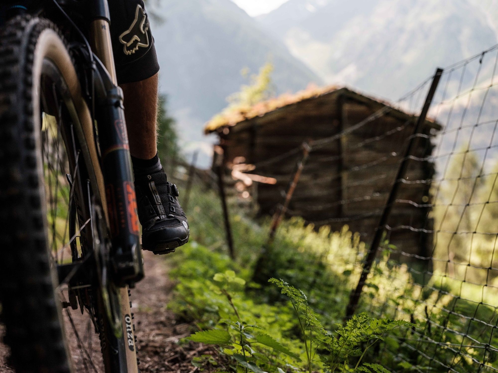
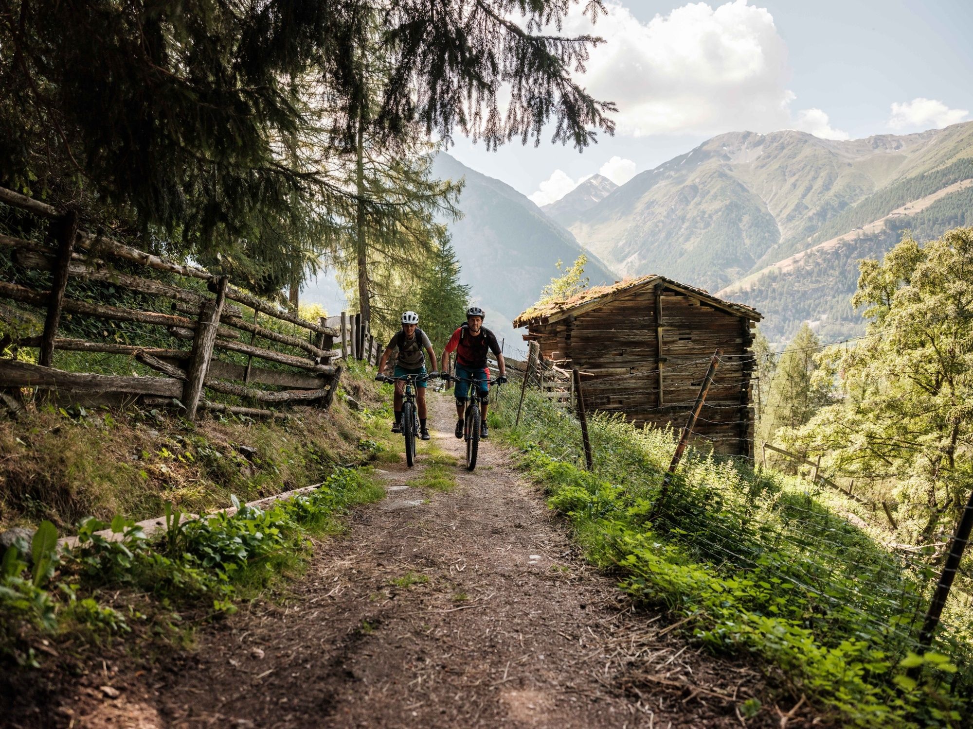
This route from Grächen to Mattsand is a classic enduro descent with plenty of trails and a spectacular view of the mountains surrounding the Mattertal Valley.
- Teškoća
-
srednje
- Vrednovanje
-
- Wegverlauf
-
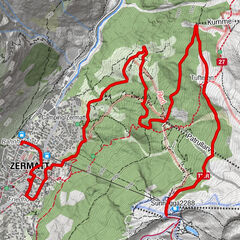
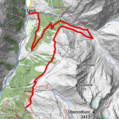
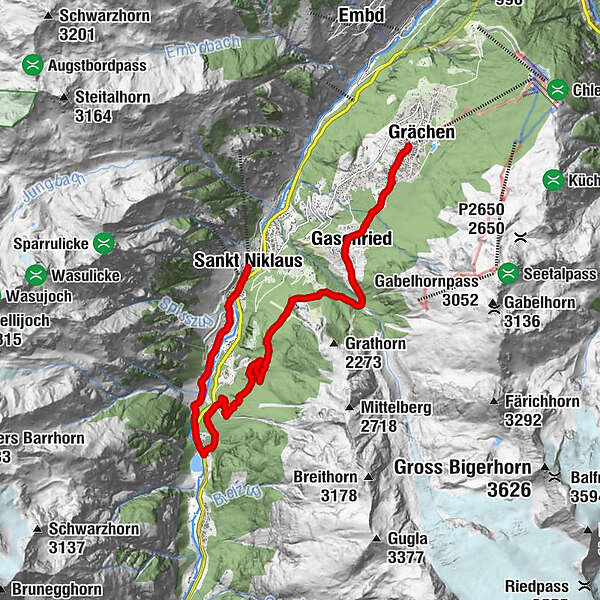
GrächenKirche Grächen0,1 kmErbji1,8 kmChäschermatte2,0 kmGasenried2,2 kmRiederstübli2,5 kmBalmu7,0 kmMamma Mia10,3 kmSchwiedernen11,8 kmStahlen12,3 kmRestaurant Monte Rosa13,6 kmSankt Niklaus13,7 km
- Beste Jahreszeit
-
sijveljožutrasvilipsrpkolrujlisstupro
- Höchster Punkt
- 1.678 m
- Zielpunkt
-
St.Niklaus
- Höhenprofil
-
 © outdooractive.com
- Autor
-
Die Tour Mattsand Enduro wird von outdooractive.com bereitgestellt.
GPS Downloads


Putevi
Pokus
Opće informacije
Einkehrmöglichkeit
Kulturell/Historisch
Geheimtipp
Flora
Fauna
Aussichtsreich
Weitere Touren in den Regionen
-
Oberwallis
211
-
Unterbäch
106
-
Grächen - St. Niklaus
16