


Level of difficulty: S2


Photos from our users
-
 © peter_oeCreated on 04.10.2025
 -
 © peter_oeCreated on 04.10.2025
 -
 © peter_oeCreated on 04.10.2025
 -
 © peter_oeCreated on 03.10.2025
 -
 © peter_oeCreated on 03.10.2025
 -
 © peter_oeCreated on 21.09.2024
 -
 © peter_oeCreated on 02.09.2024
 -
 © peter_oeCreated on 02.09.2024
 -
 © peter_oeCreated on 02.09.2024
 -
 © peter_oeCreated on 02.09.2024
 -
 © peter_oeCreated on 02.09.2024
 -
 © peter_oeCreated on 02.09.2024
 -
 © peter_oeCreated on 02.09.2024
 -
 © peter_oeCreated on 02.09.2024
 -
 © peter_oeCreated on 02.09.2024
 -
 © peter_oeCreated on 02.09.2024
 -
 © peter_oeCreated on 02.09.2024
 -
 © peter_oeCreated on 02.09.2024
 -
 © peter_oeCreated on 02.09.2024
 -
 © peter_oeCreated on 02.09.2024
 -
 © peter_oeCreated on 02.09.2024
 -
 © peter_oeCreated on 02.09.2024
 -
 © peter_oeCreated on 02.09.2024
 -
 © peter_oeCreated on 02.09.2024
 -
 © peter_oeCreated on 02.09.2024
 -
 © peter_oeCreated on 02.09.2024
 -
 © peter_oeCreated on 02.09.2024
 -
 © peter_oeCreated on 02.09.2024
 -
 © peter_oeCreated on 02.09.2024
 -
 © peter_oeCreated on 02.09.2024
 -
 © peter_oeCreated on 26.08.2024
 -
 © peter_oeCreated on 26.08.2024
 -
 © peter_oeCreated on 26.08.2024
 -
 © peter_oeCreated on 26.08.2024
 -
 © peter_oeCreated on 26.08.2024
 -
 © peter_oeCreated on 26.08.2024
 -
 © peter_oeCreated on 26.08.2024
 -
 © peter_oeCreated on 26.08.2024
 -
 © peter_oeCreated on 26.08.2024
 -
 © peter_oeCreated on 26.08.2024
 -
 © peter_oeCreated on 26.08.2024
 -
 © peter_oeCreated on 26.08.2024
 -
 © peter_oeCreated on 26.08.2024
 -

 © luyyyCreated on 18.07.2024
 -
 © luyyyCreated on 18.07.2024
 -

 © Patrick LuggenCreated on 04.10.2023
 -
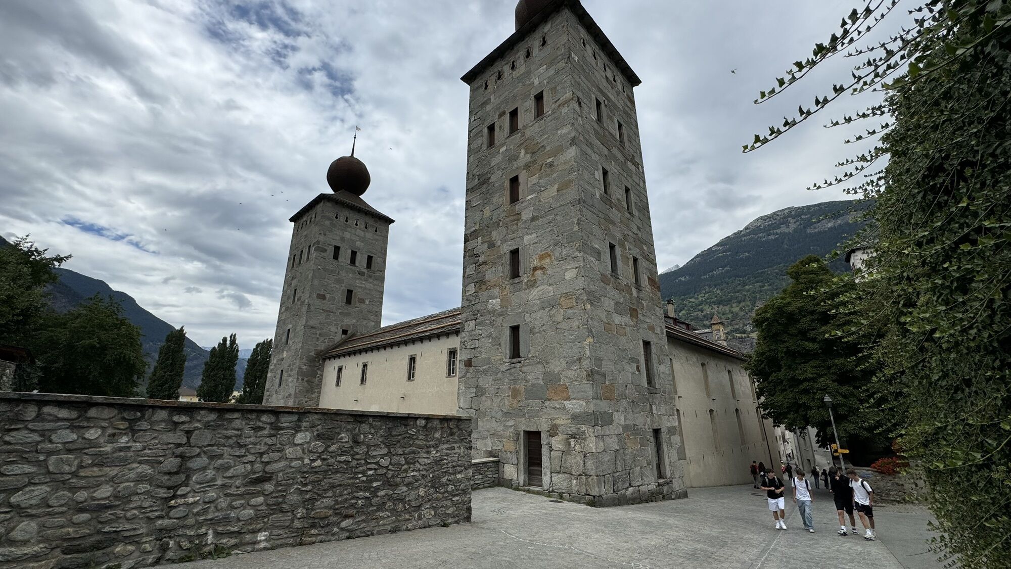
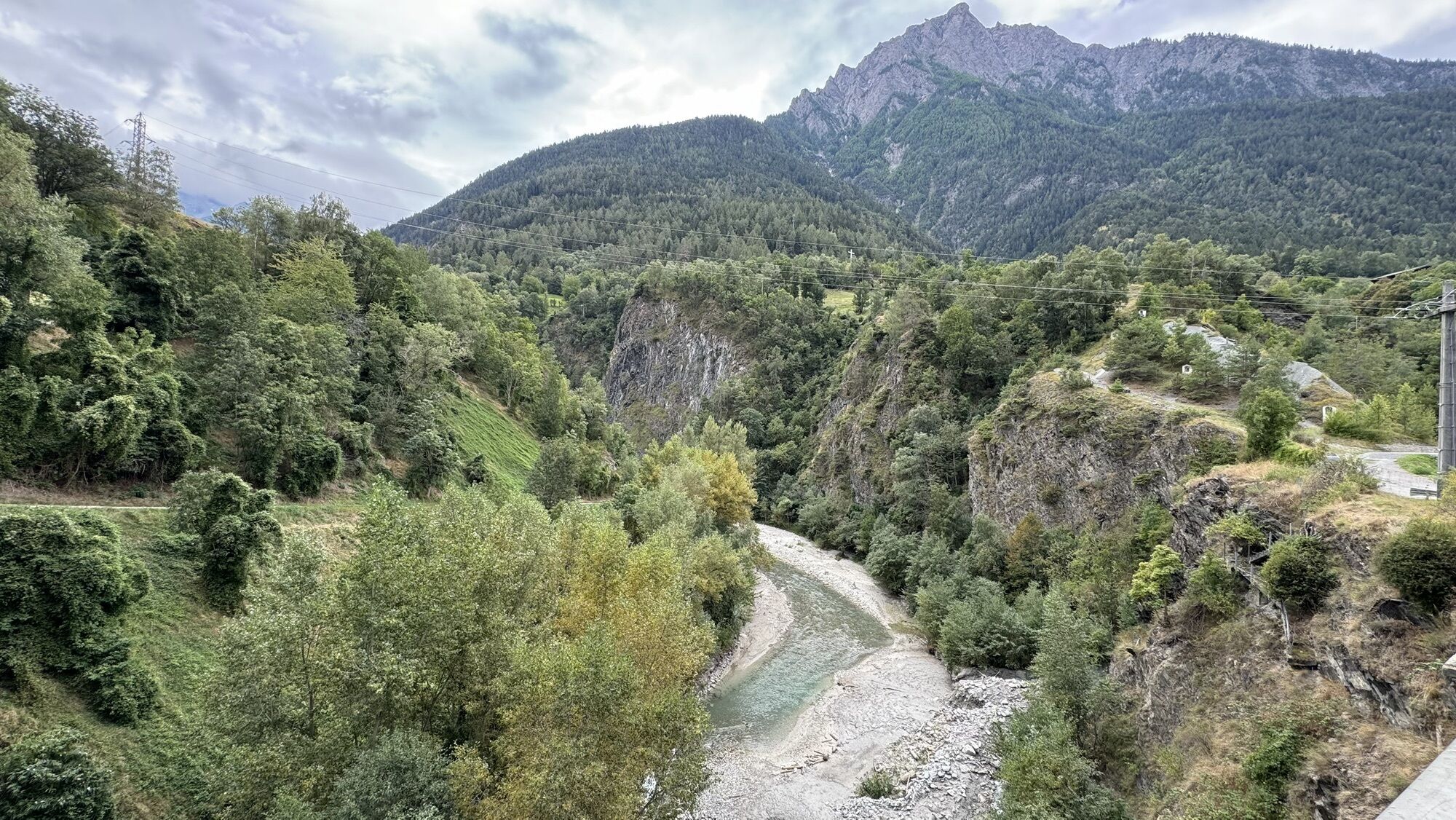
 © Bruno ZahnoCreated on 03.10.2025
 -
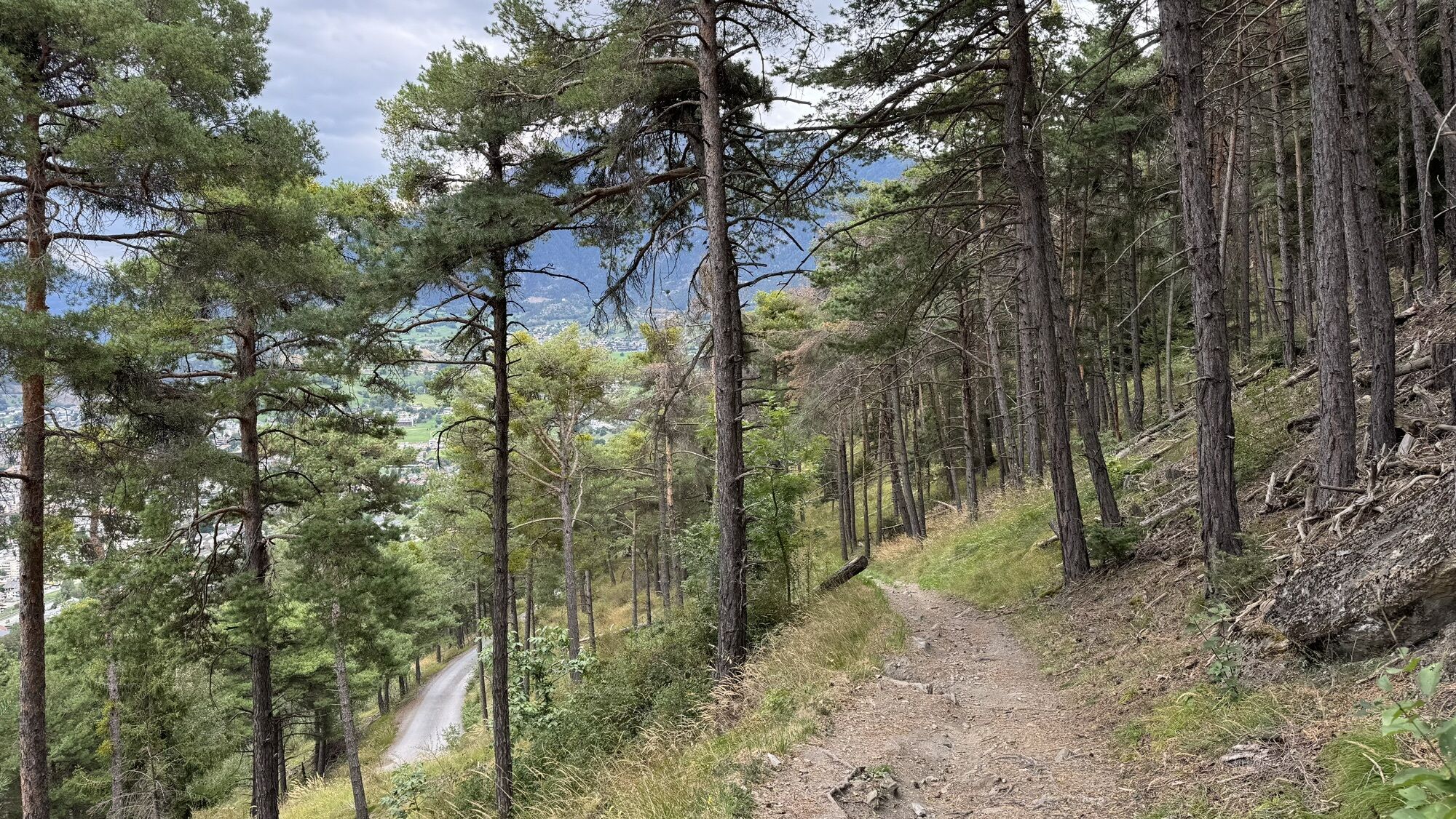
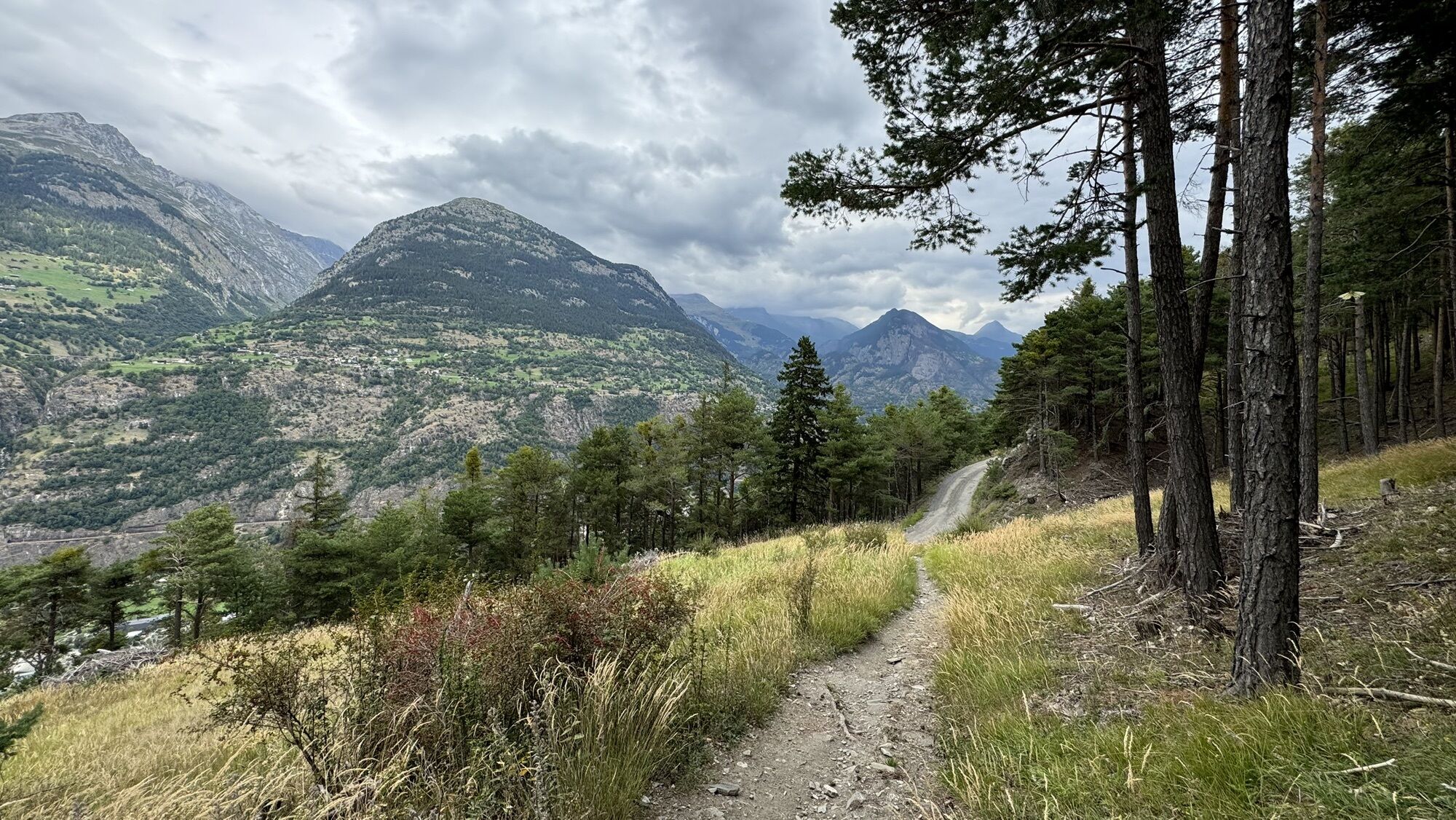
 © Bruno ZahnoCreated on 03.10.2025

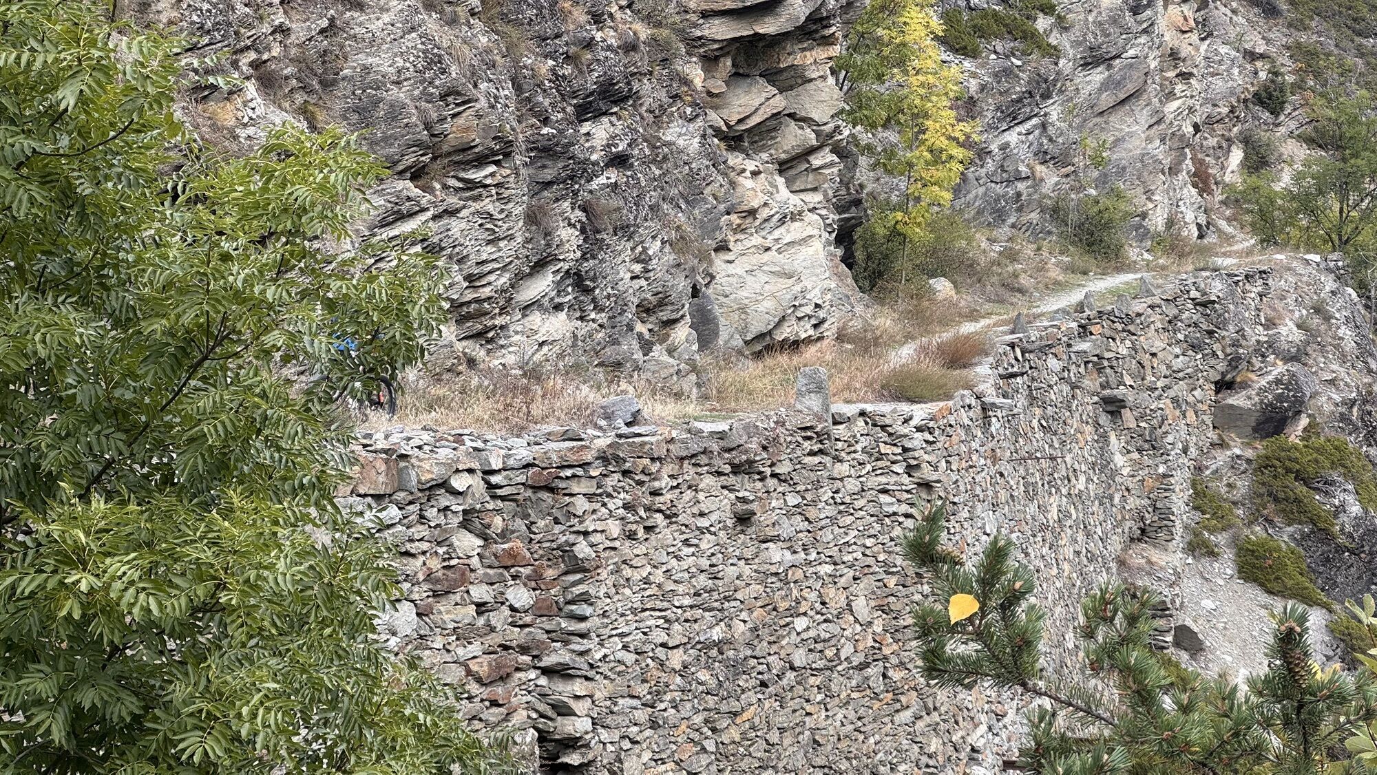

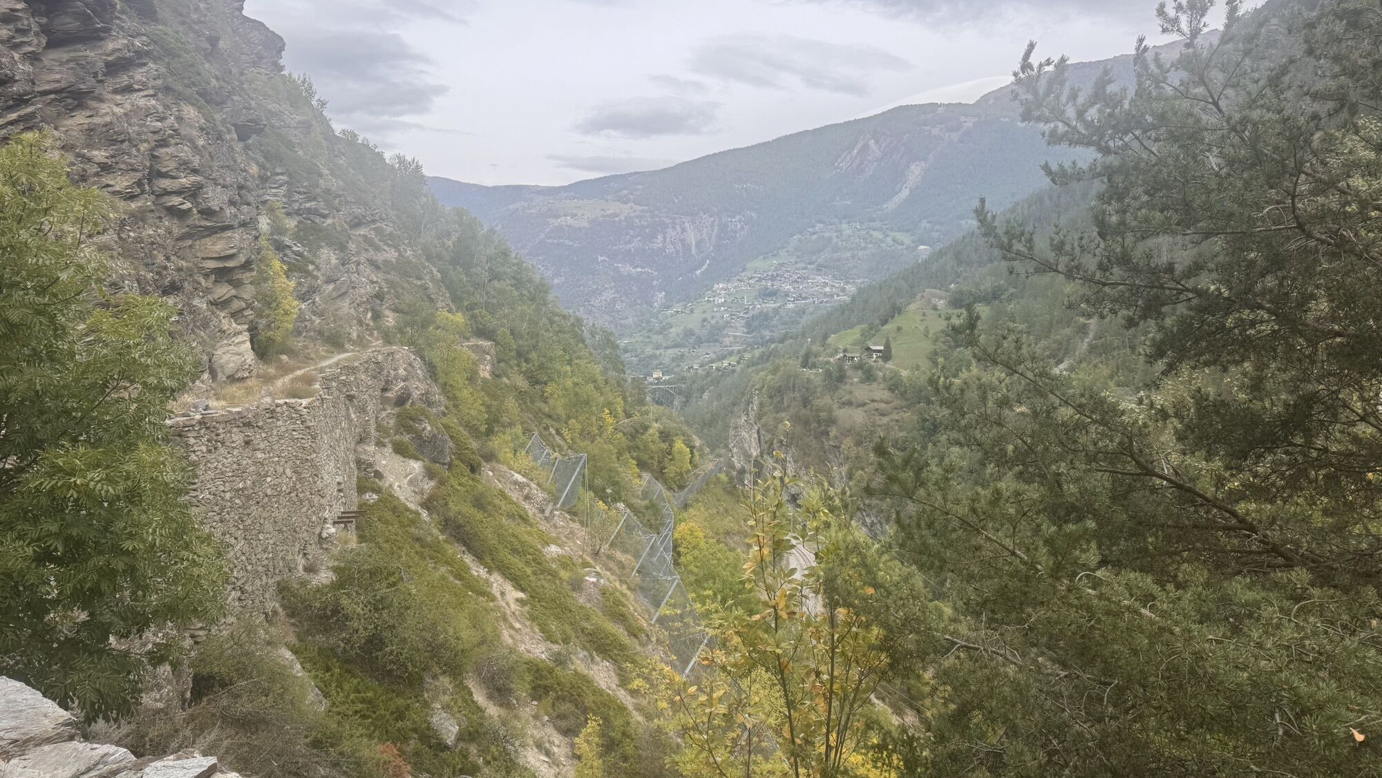

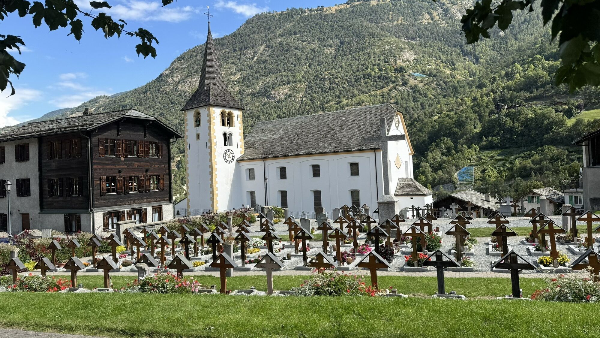

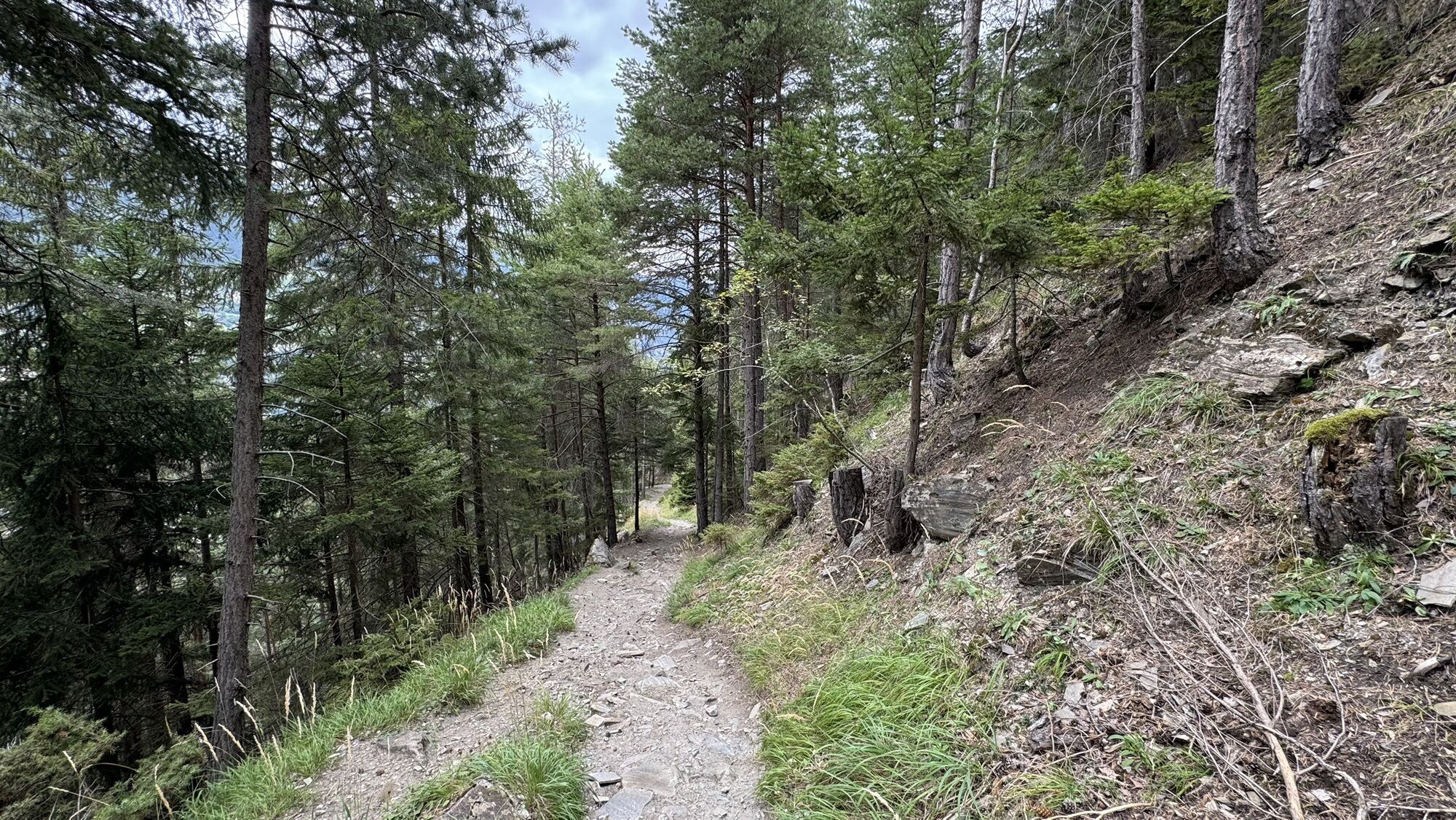

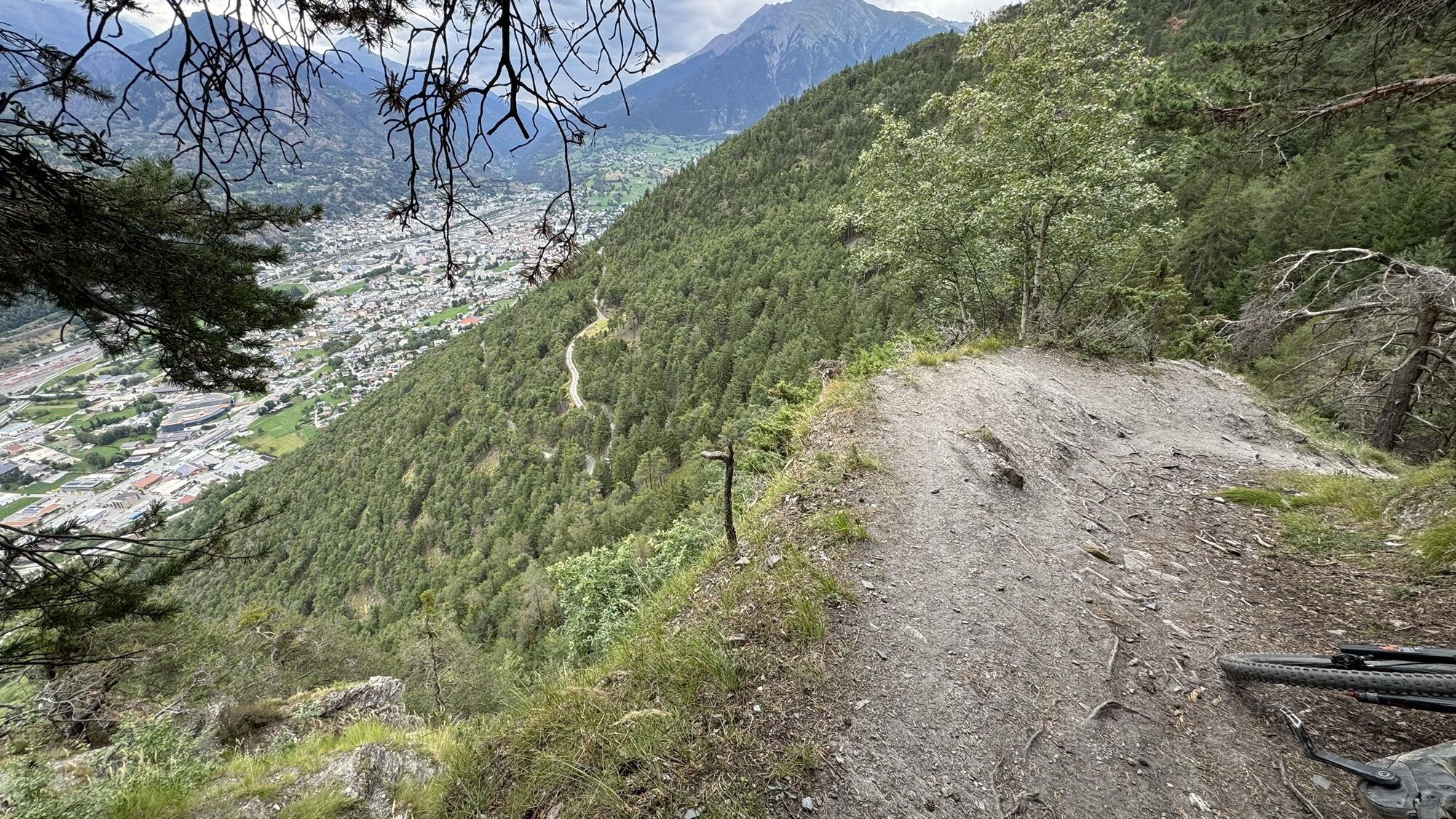
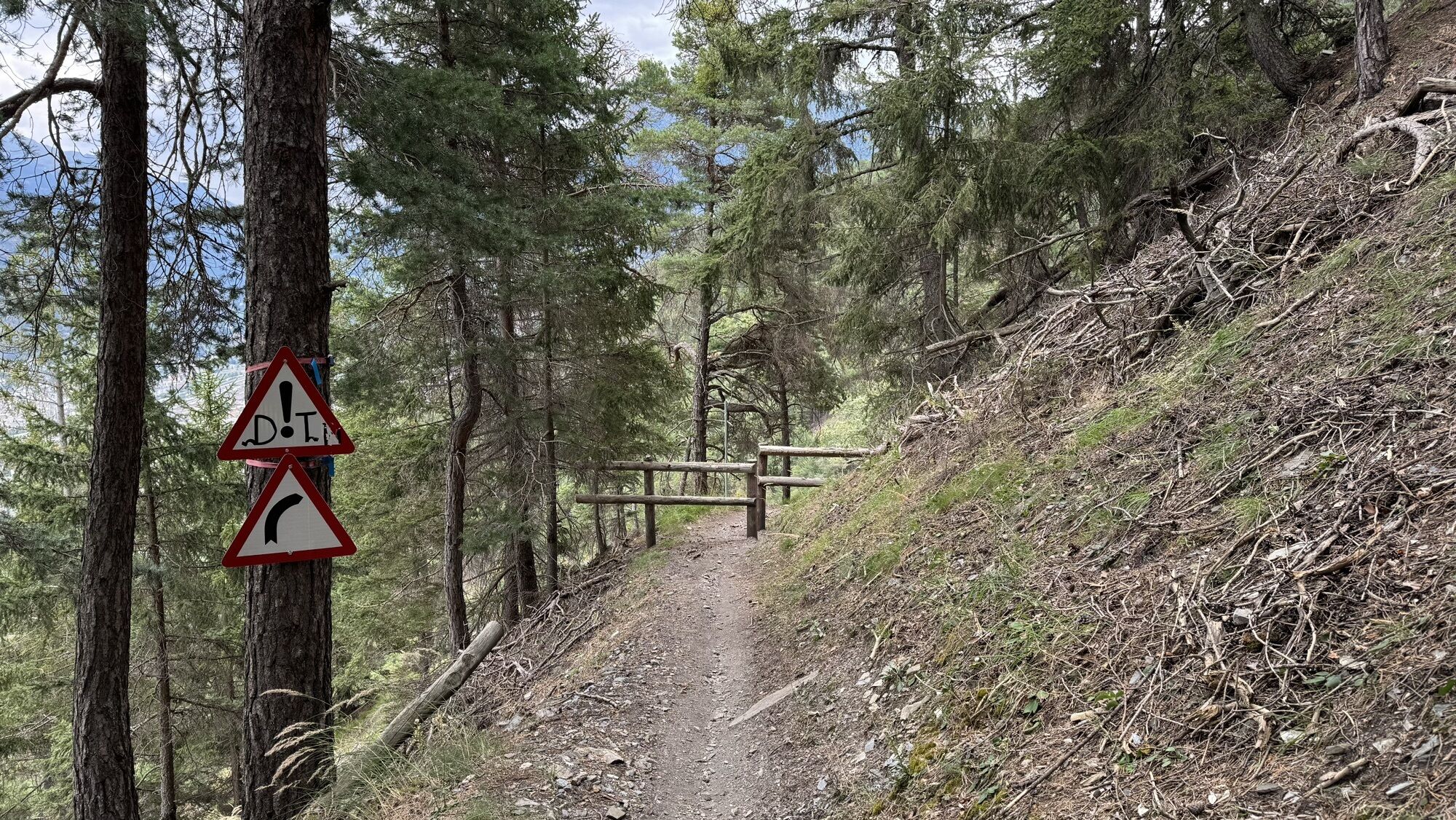

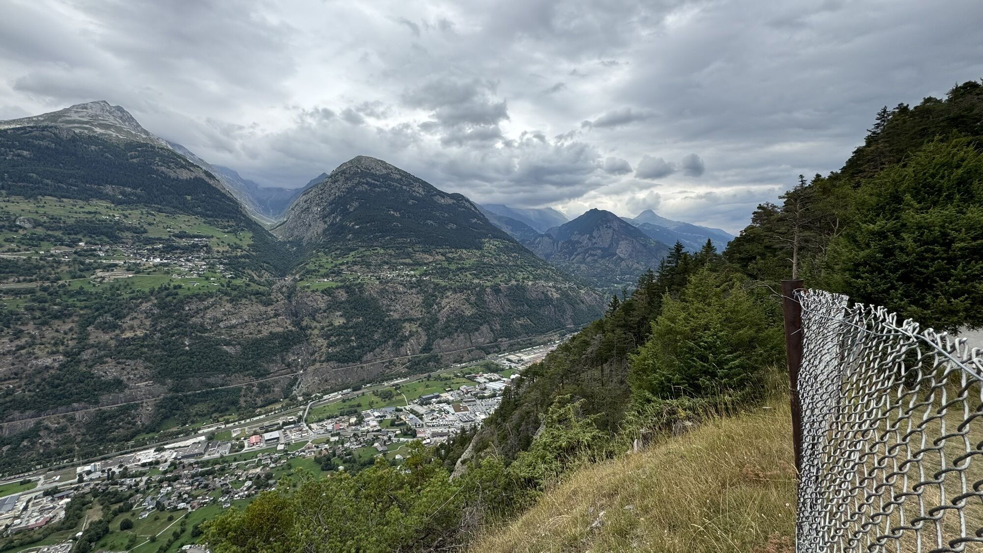

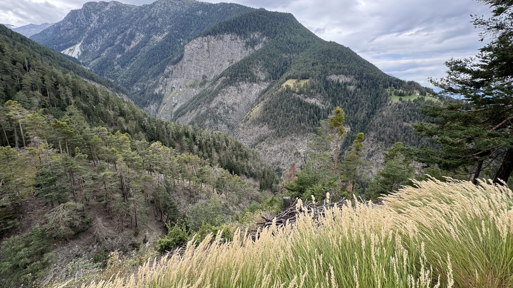
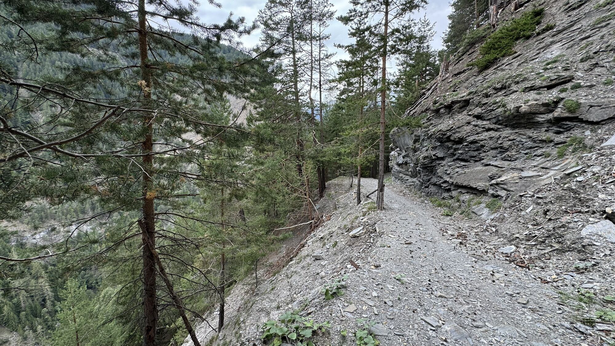


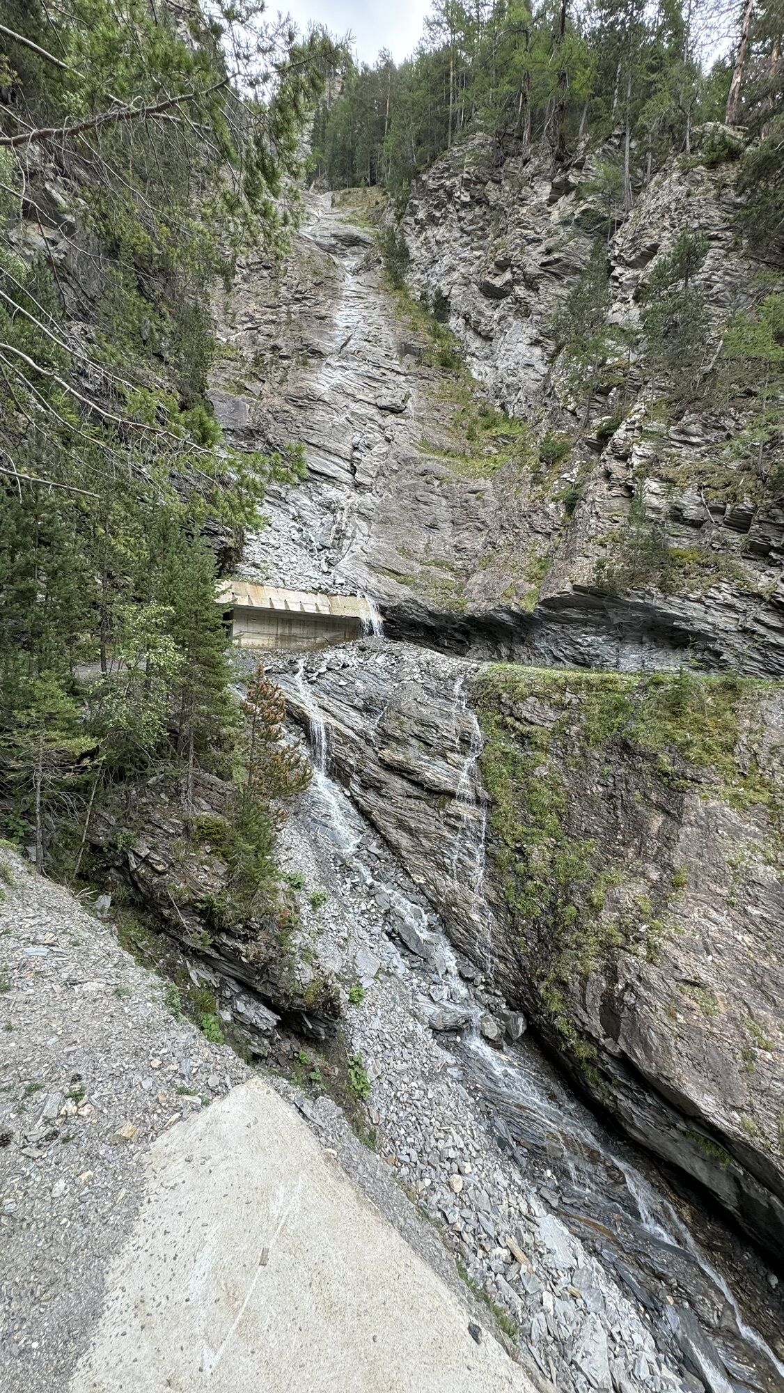
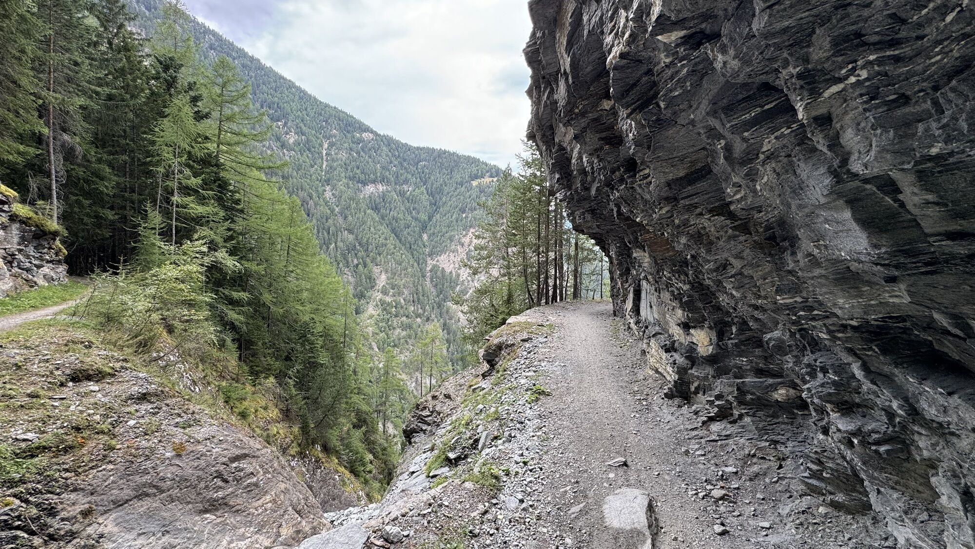
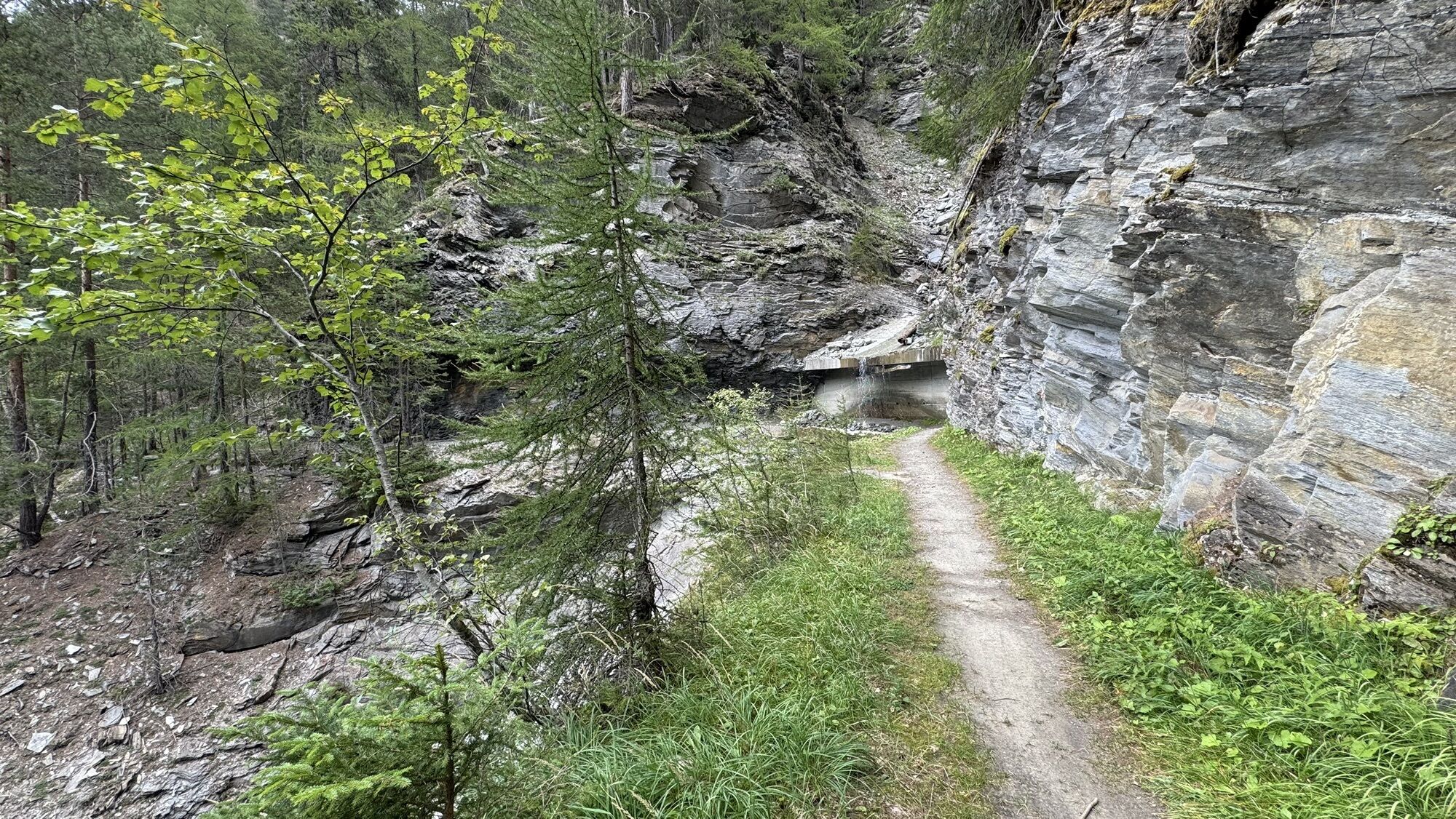


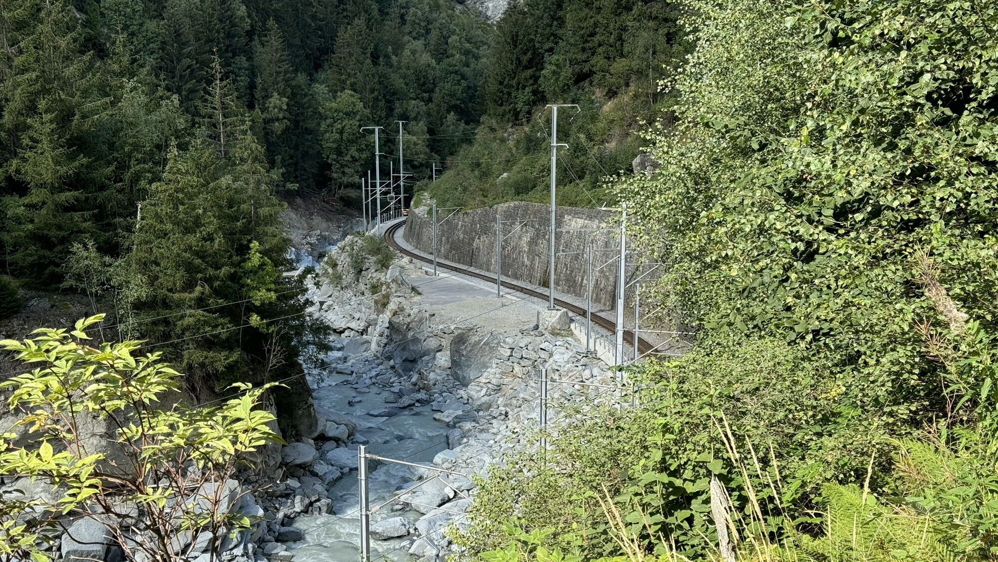


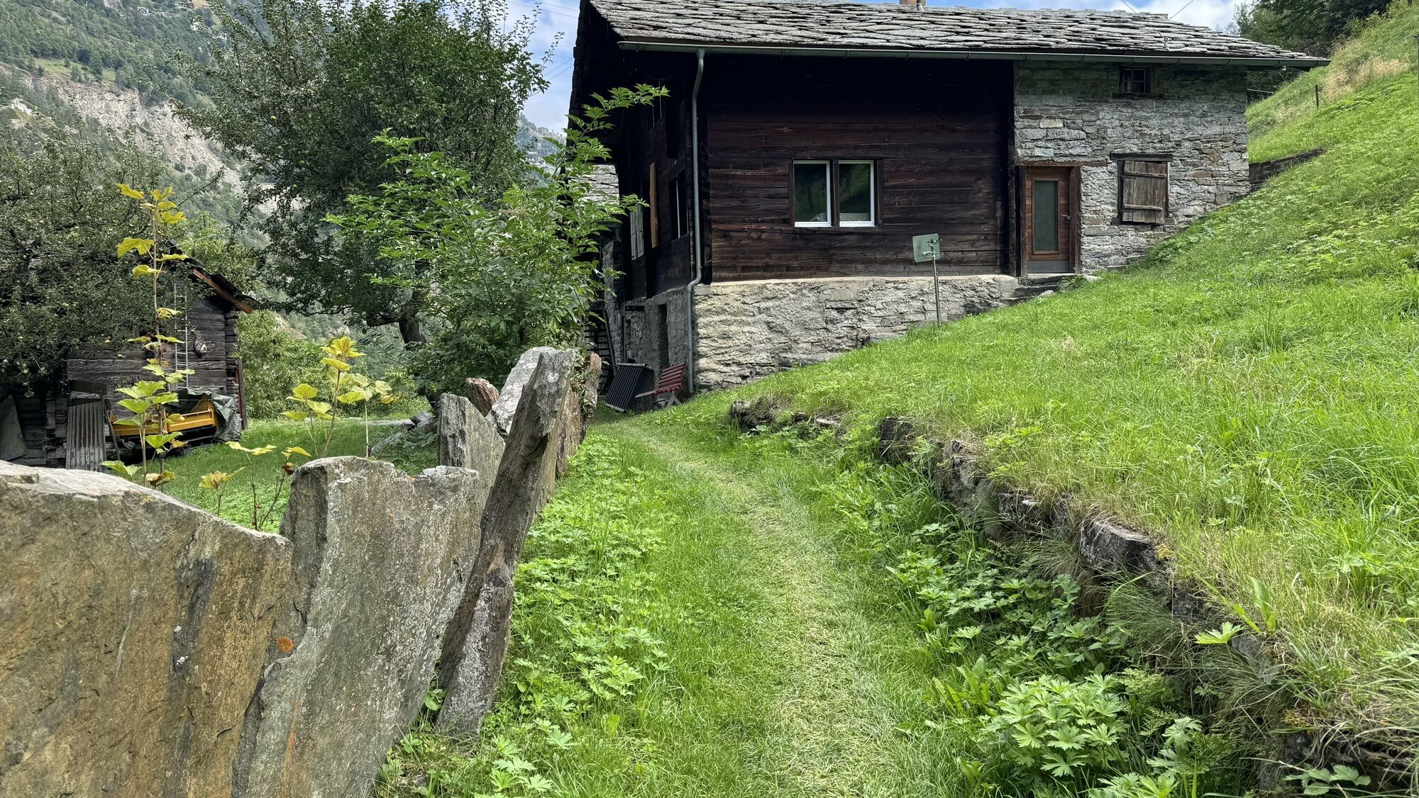
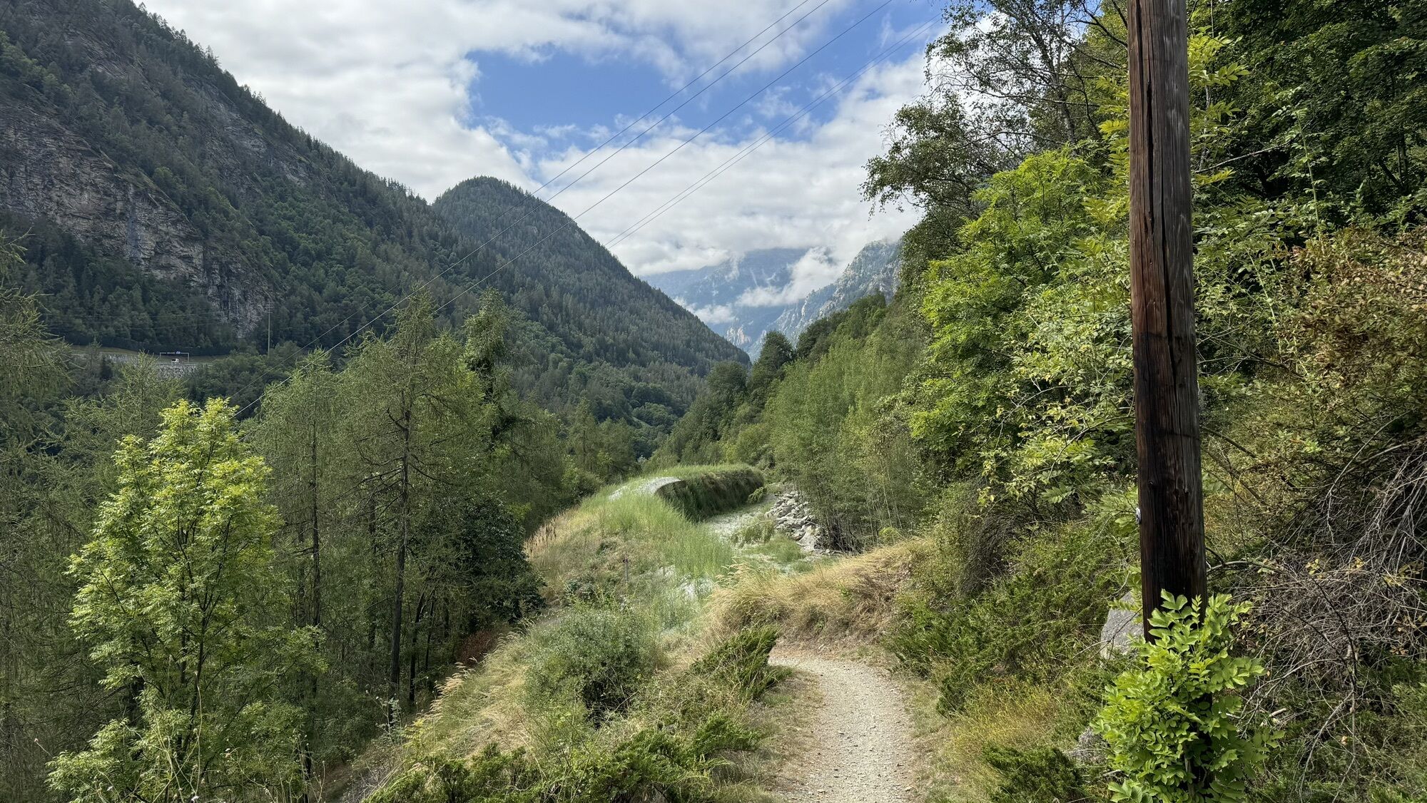
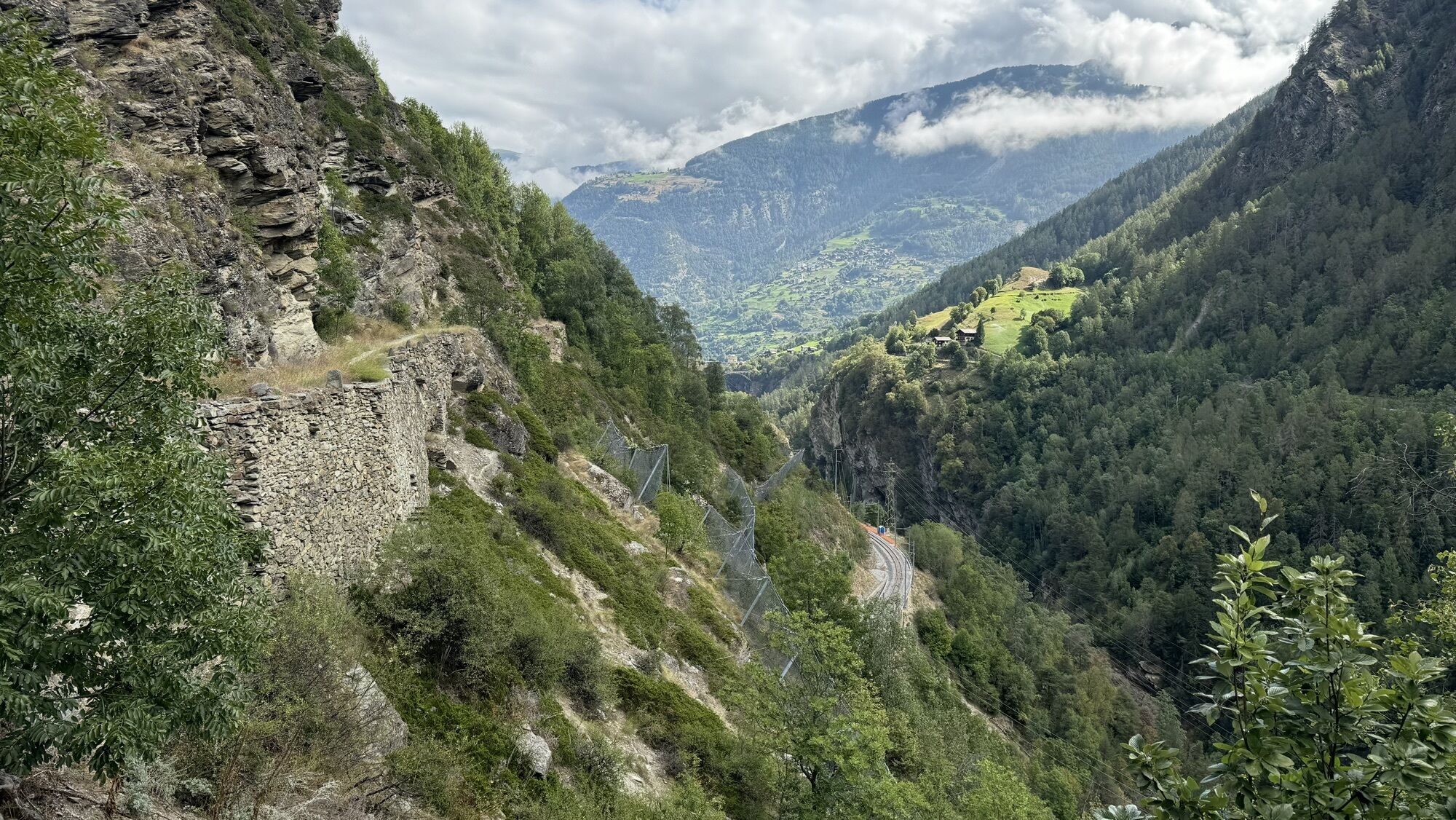
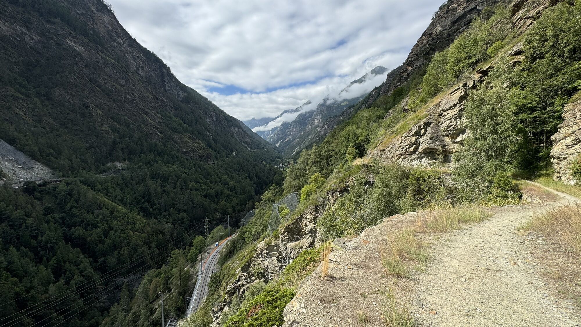
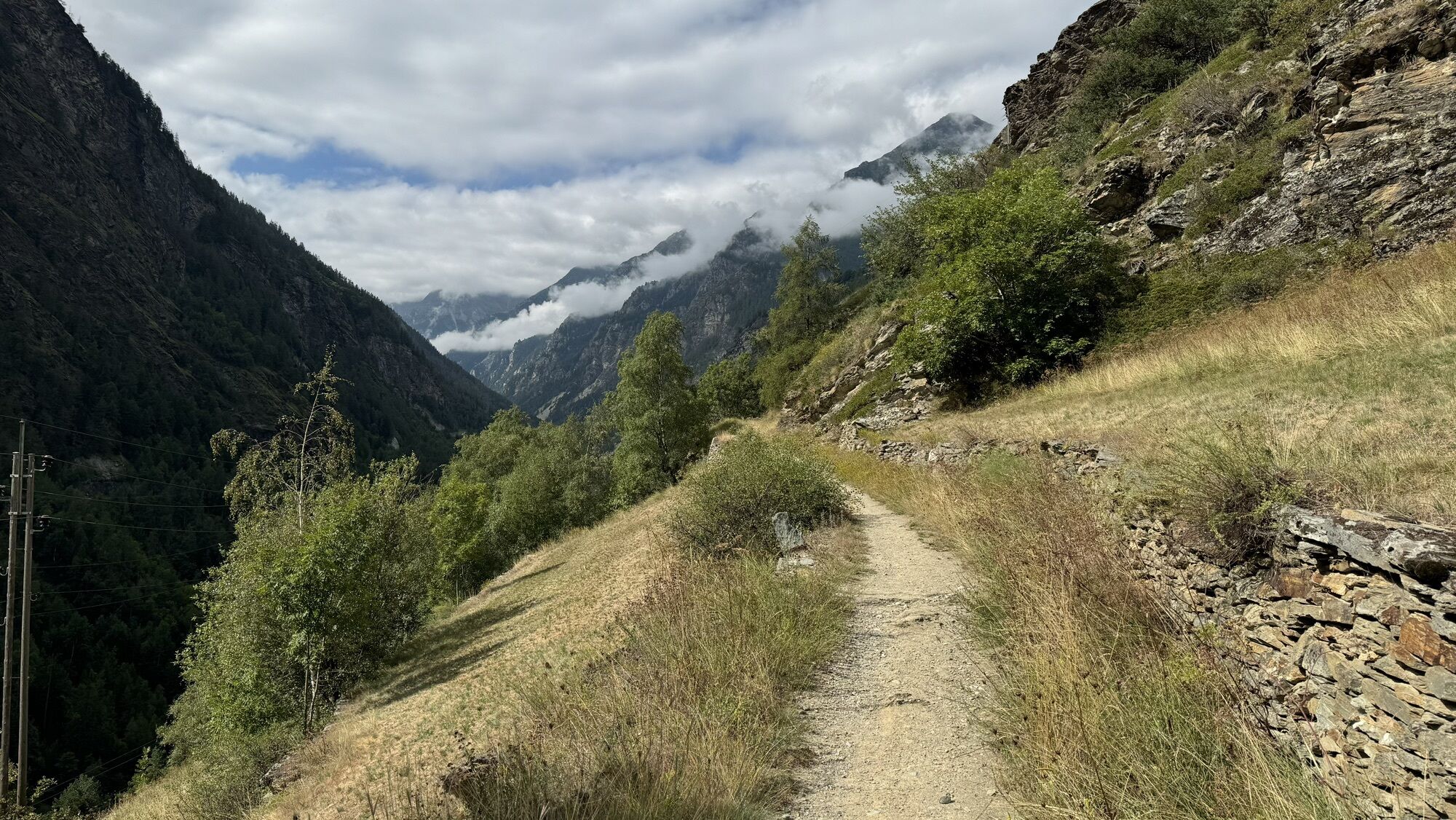
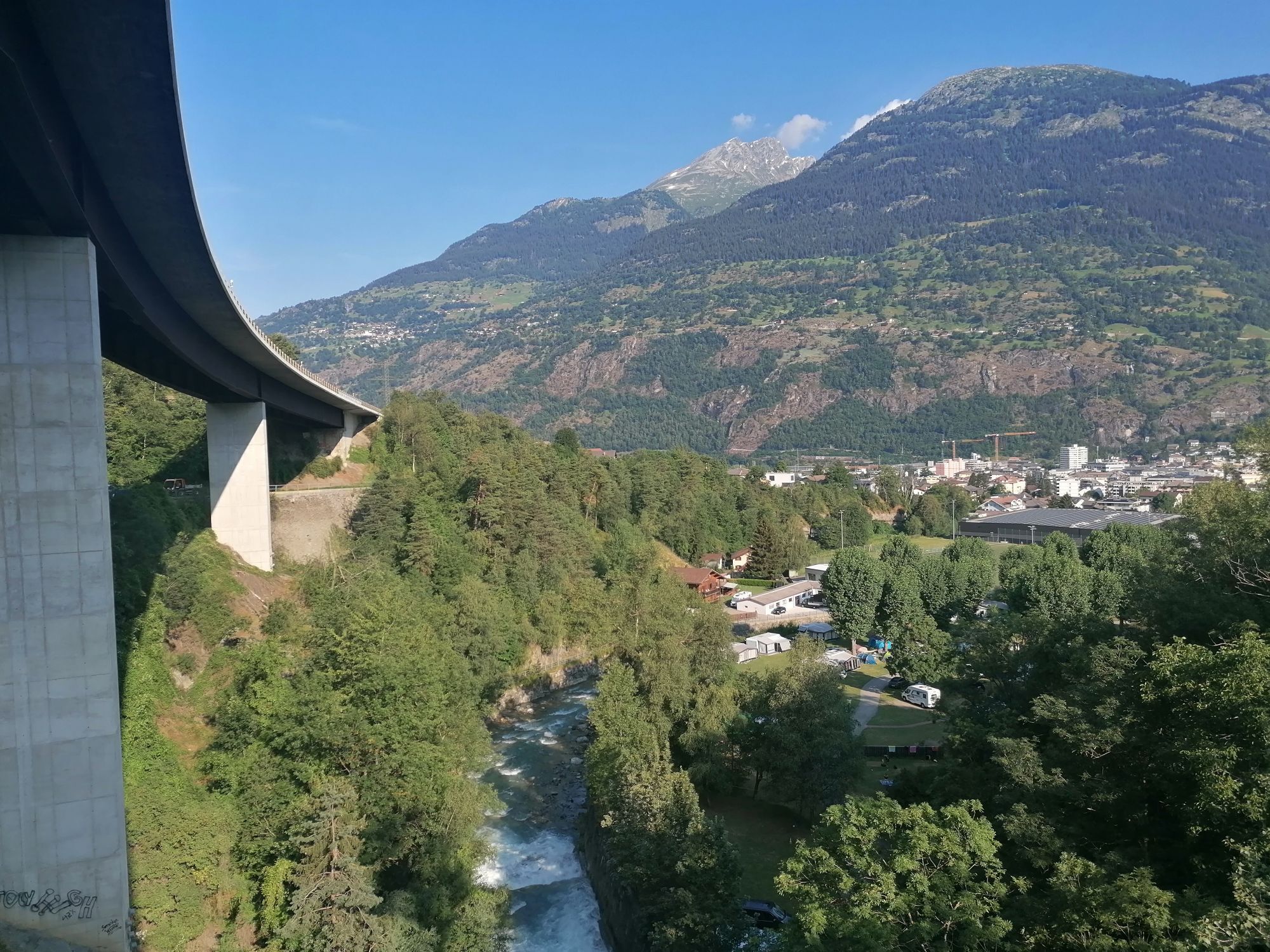

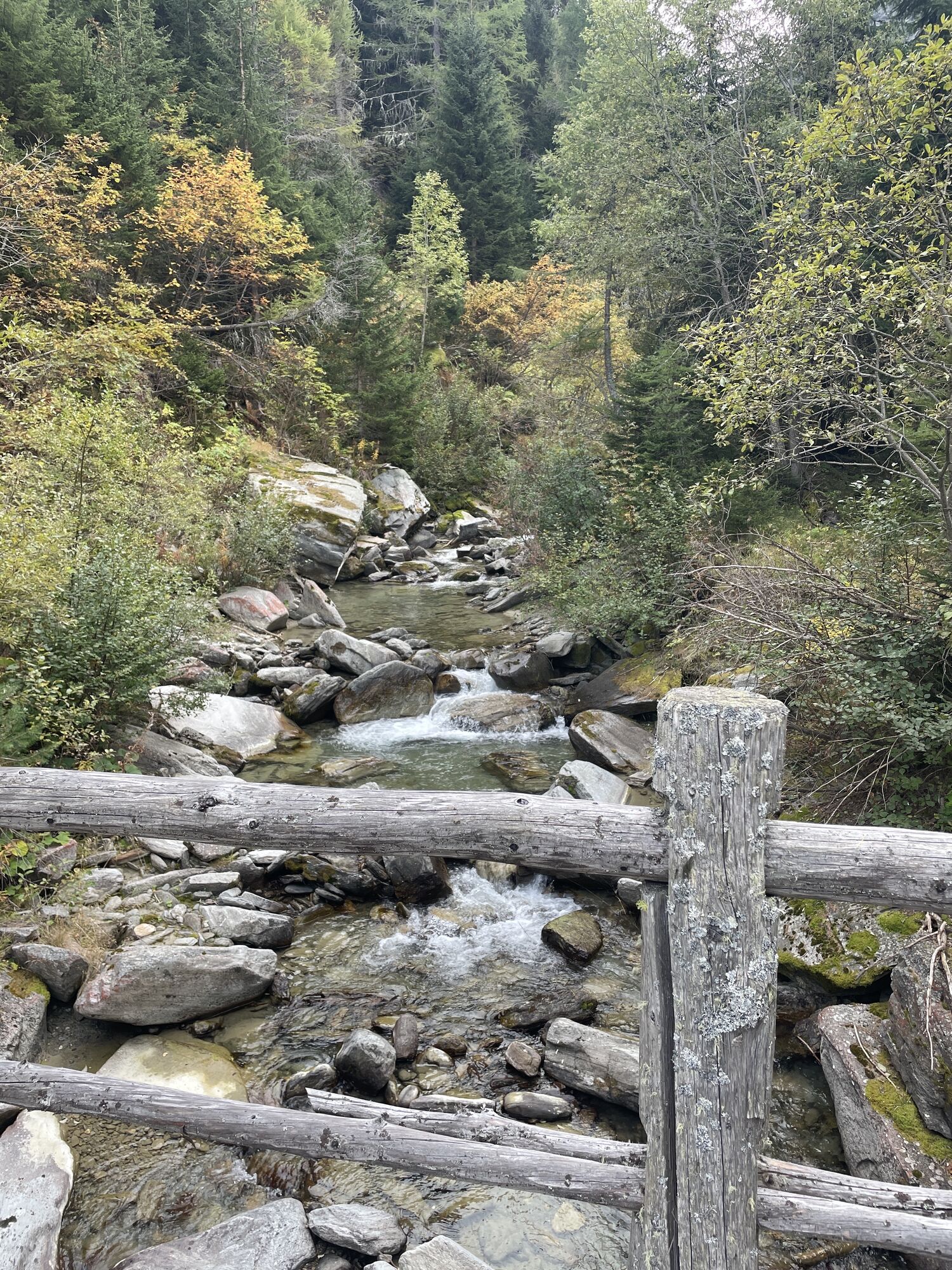

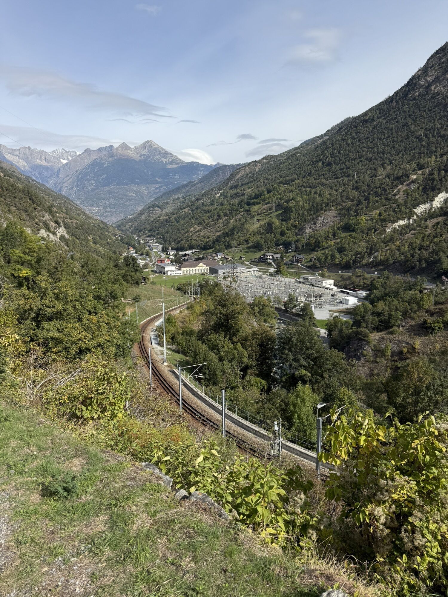
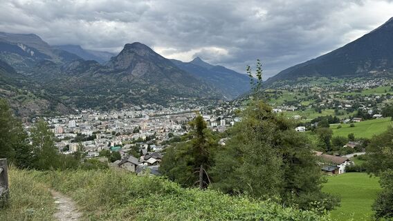
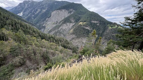
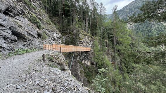
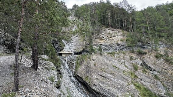
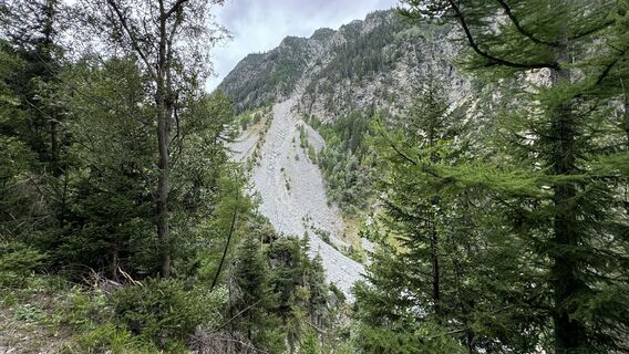
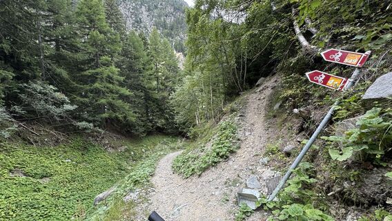
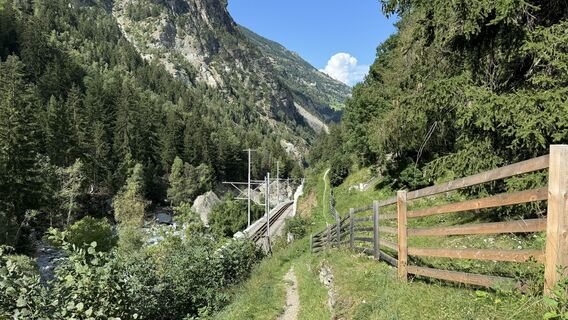
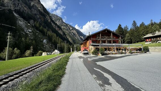
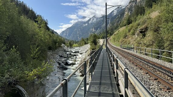
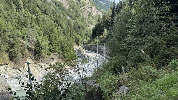
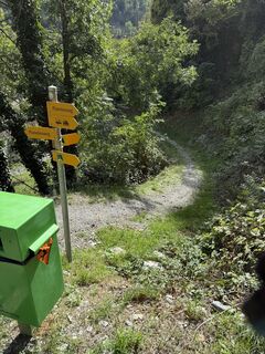
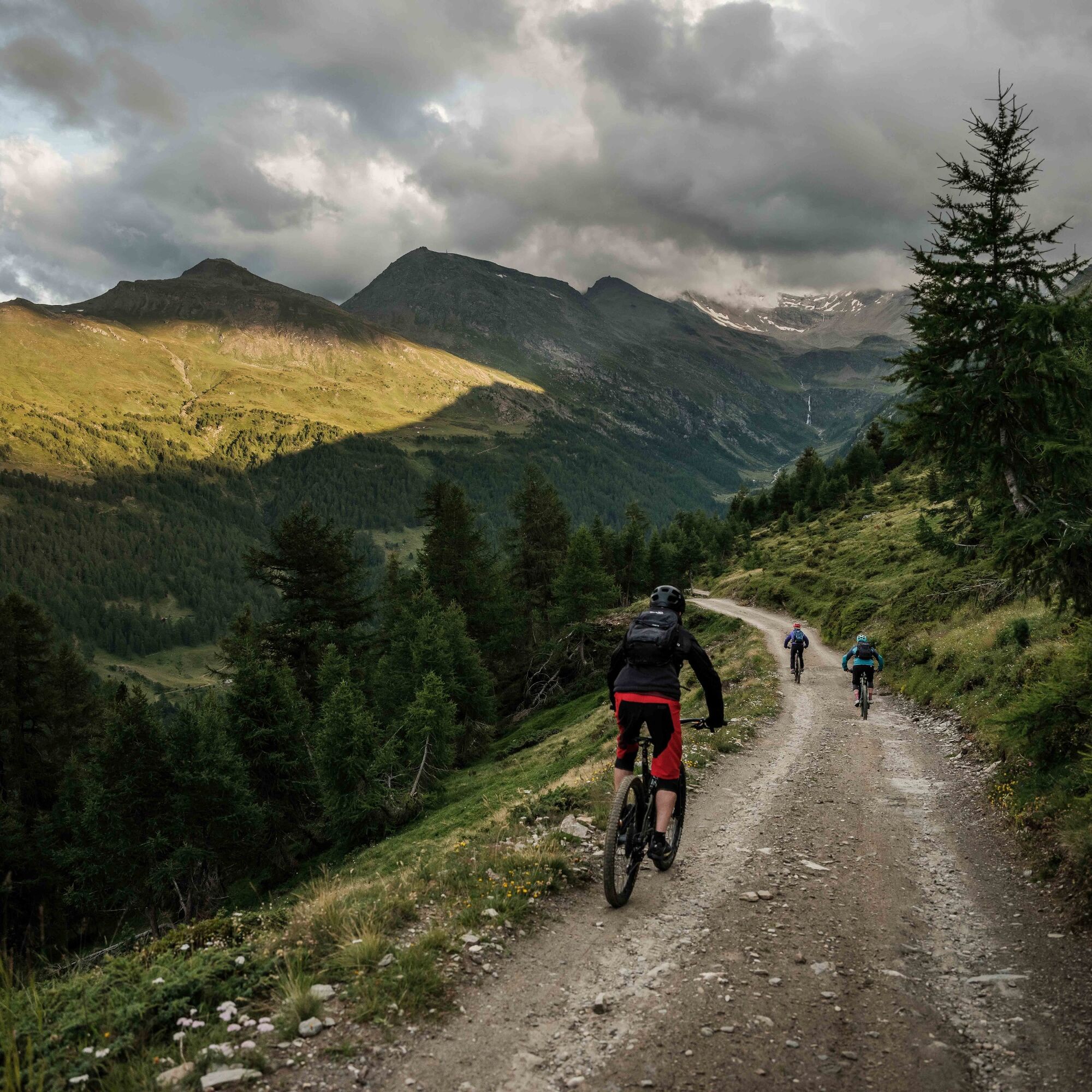
On this stage of the Valais Alpine Bike, leave the village of Grächen on a field road heading towards Gasenried. The first highlight is a wonderful descent towards Mattsand on the Mattsand Enduro route....
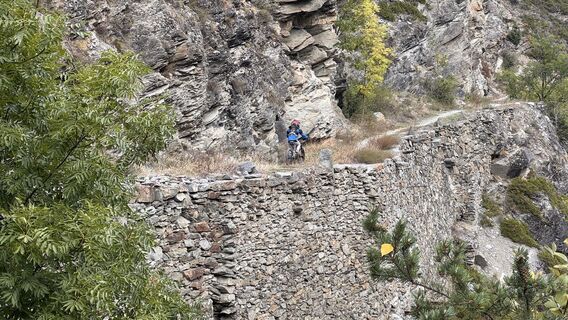
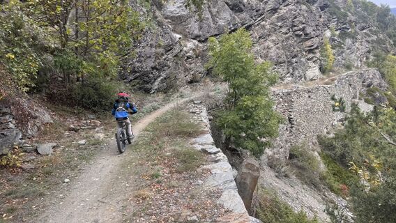
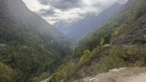
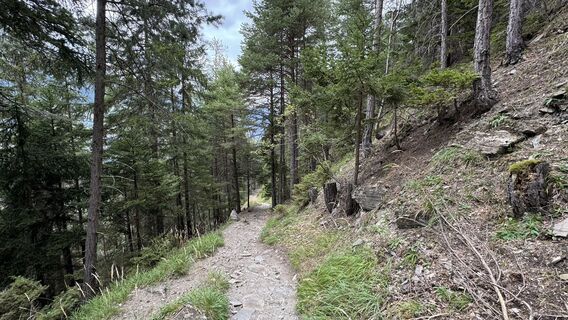
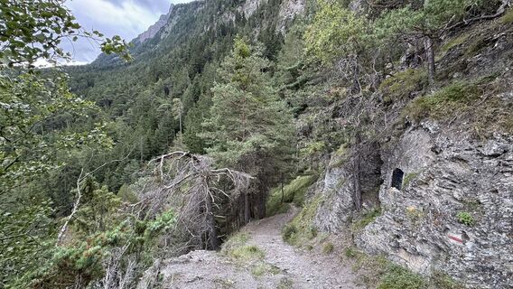
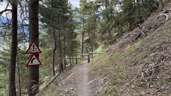
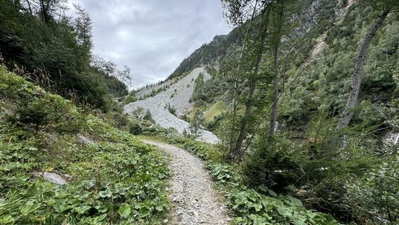
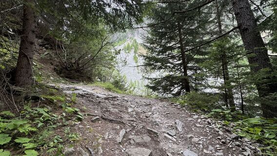
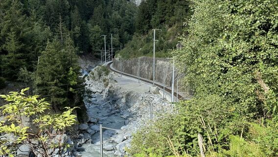
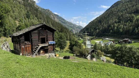
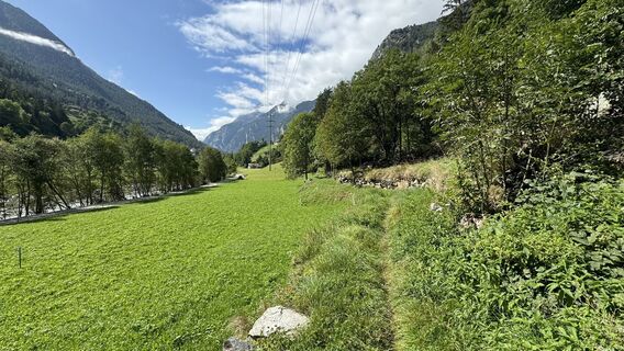
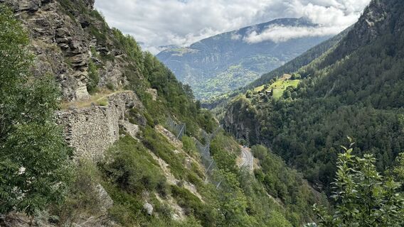
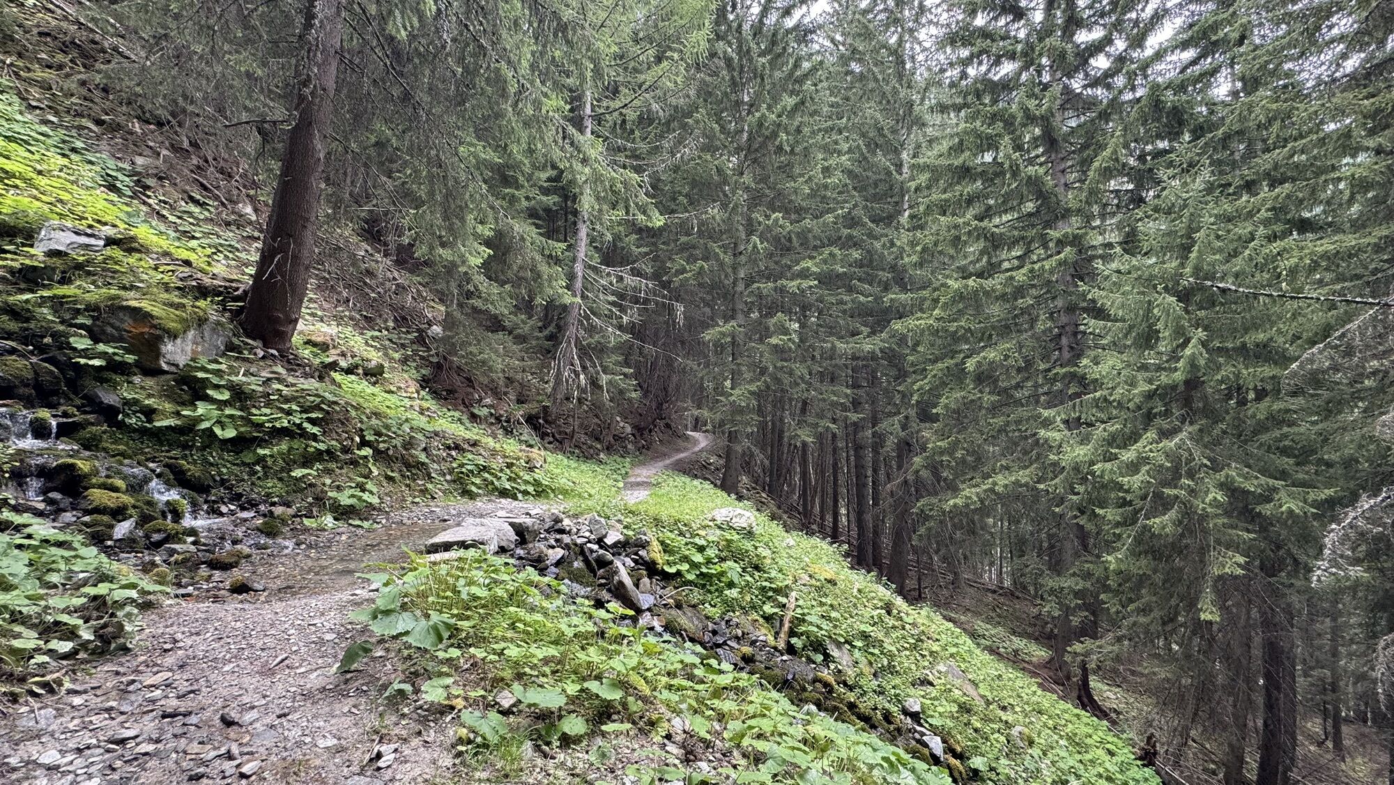
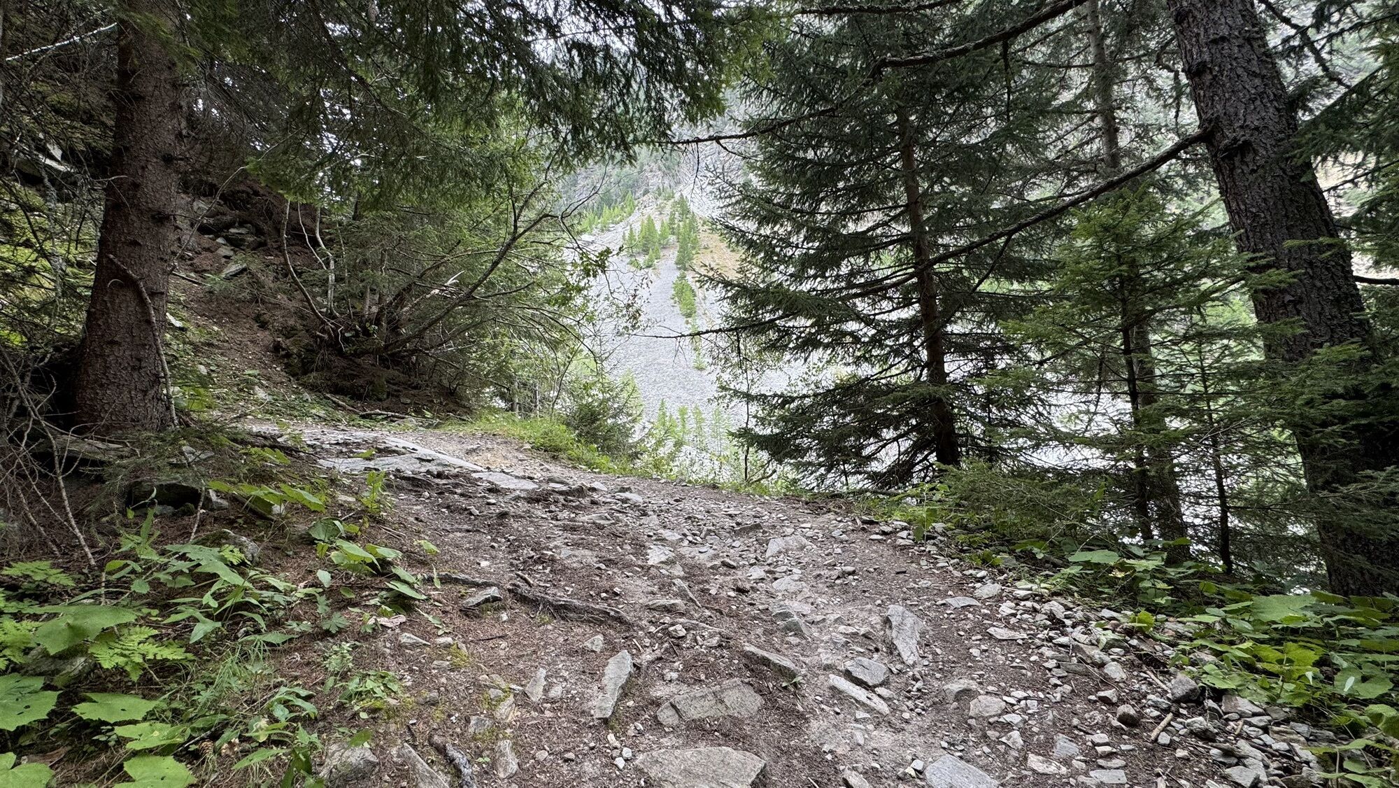
On this stage of the Valais Alpine Bike, leave the village of Grächen on a field road heading towards Gasenried. The first highlight is a wonderful descent towards Mattsand on the Mattsand Enduro route. To reach Stalden further down the valley, follow the Matterhorn Valley Trail along the historic path lined with dry stone walls, listed in the Inventory of Historic Routes of Switzerland IVS. In Stalden, the cable car takes you to Gspon in a few minutes. From the mountain station, the beautiful path of the Gspon Panorama Bike leads through the Sädelwald and with some effort to the Gibidumpass with an idyllic lake. The alpine surroundings of this high plateau invite you to a long break with views of the Valais Alps. From here, you enter the wild Nanztal valley. A steep but smooth descent takes you to Alp Nidristi before an easy and excellent-quality route leads you to Brig, the destination of this stage.

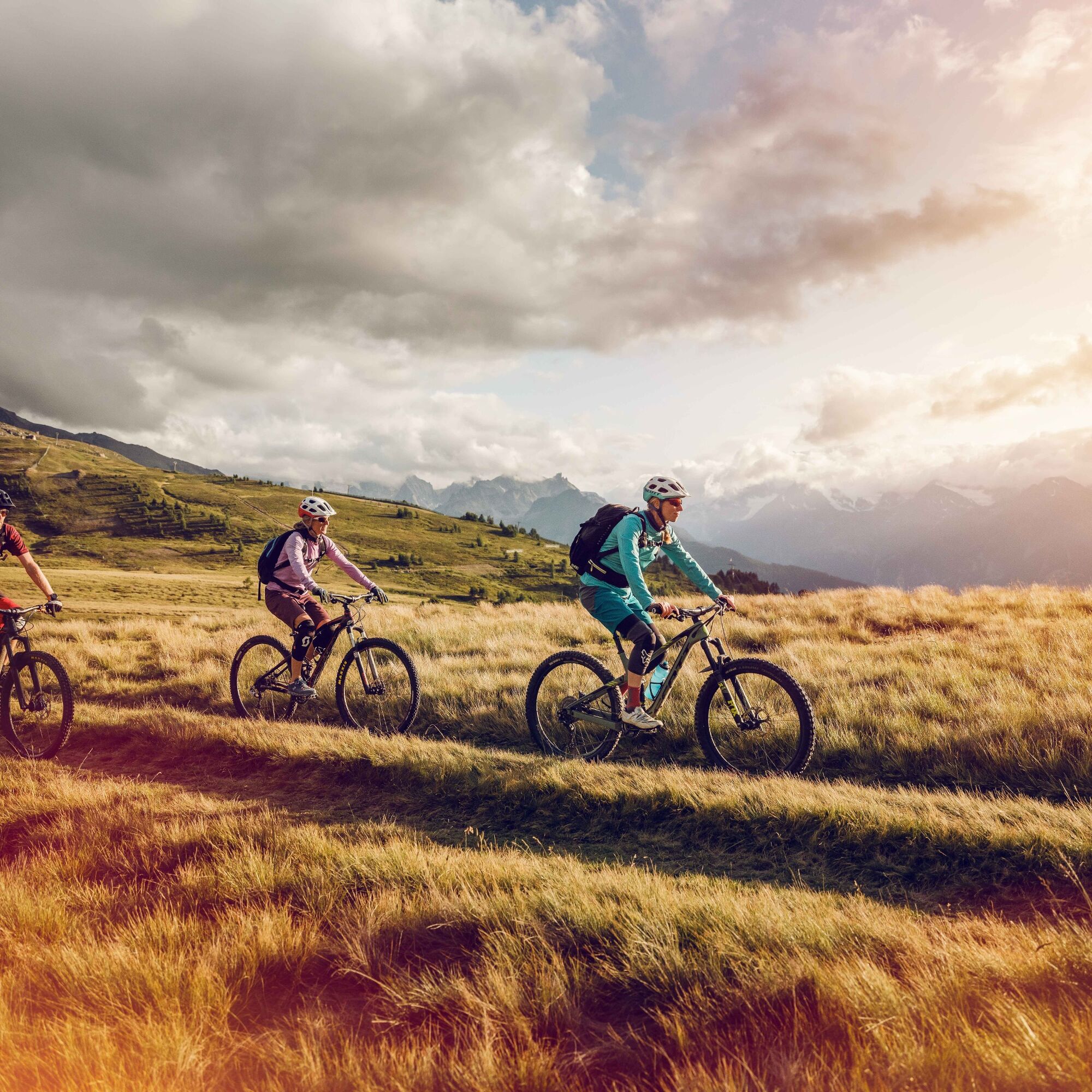
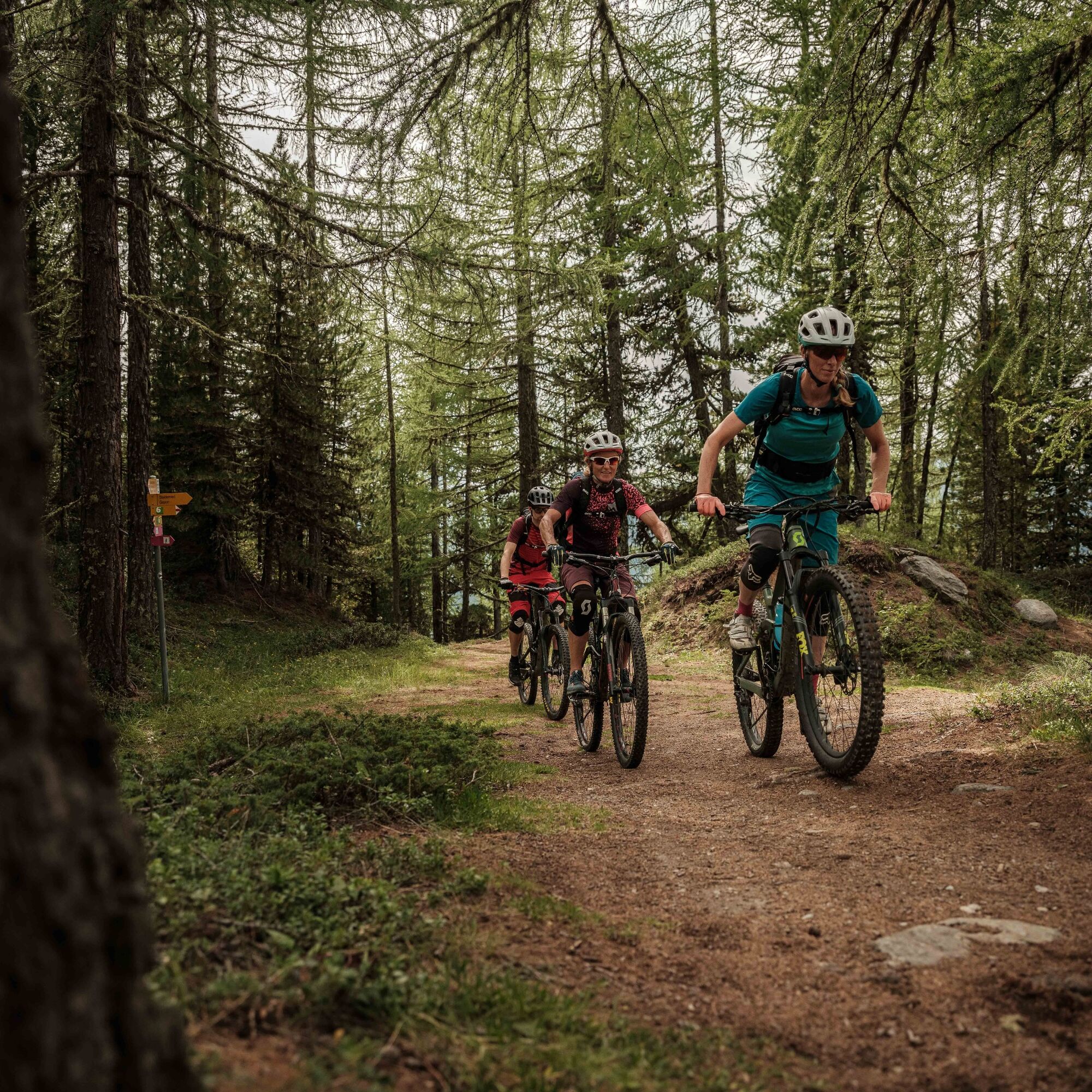
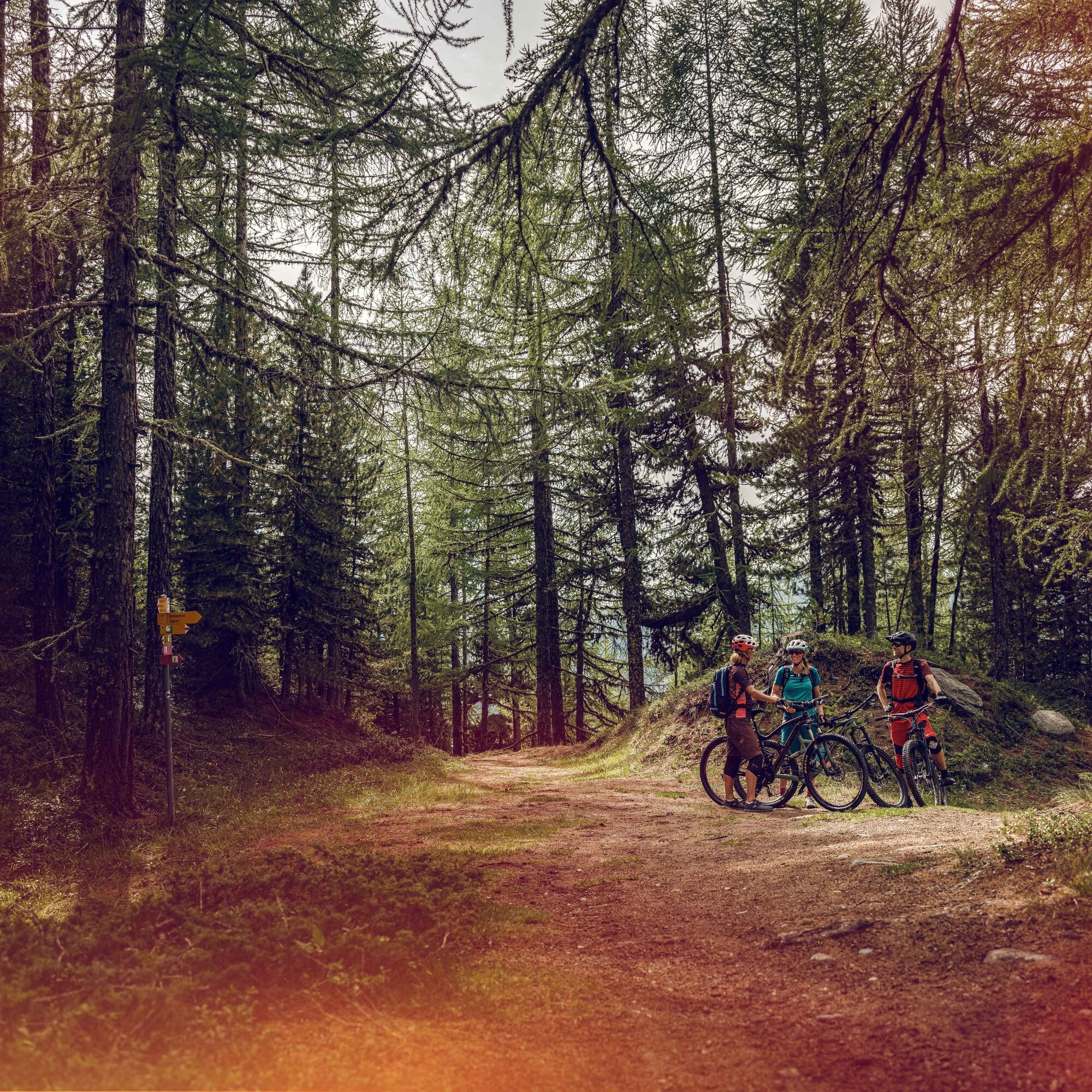

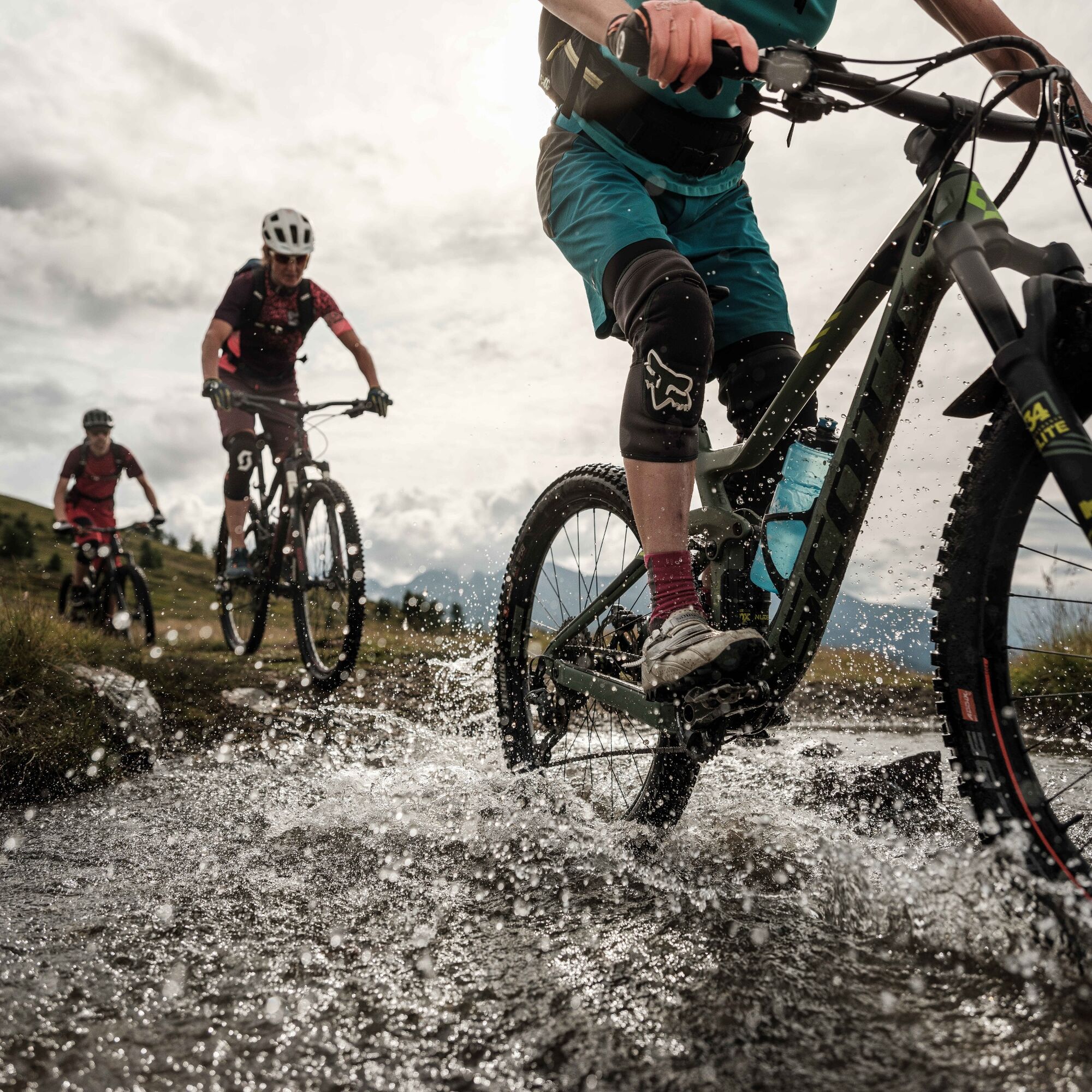
From Grächen, take the Mattsand Enduro route, which after a short climb to Gasenried provides pure adrenaline down to the village of Mattsand. Then continue down the valley to Stalden on the Matterhorn Valley Trail. From there, take the cable car to Gspon. The Gspon Panorama Bike route starts at the mountain station, goes through the Sädelwald nature forest reserve, and follows a physically demanding high-altitude trail to the Gibidumpass. From Gibidumpass, a wide and steep but smooth gravel road leads into the Nanztal valley and along the Alp Nidristi to Schratt. From there, continue towards Brig on a top-quality trail that, after a technical first section, is ideal and fast to ride.
Watch the stage as a video
Yes
Yes
Yes
Our recommendation: Technically flawless bike, helmet, gloves and bell, suitable clothing depending on the weather (always bring rain protection), drink and provisions
Preparation for the mountain bike tour
Follow the Valais Alpine Bike Route No. 41 in the Mountain Bike Land Switzerland. View this route on SchweizMobil: Valais Alpine Bike No. 41.
Only use the marked bike paths and roads and follow the signposting.
The mountains are a place to share joy and respect. The mountain world is a place to meet and experience unforgettable moments together – whether by bike or on foot. So that all users can benefit, it is essential to share this space with respect for nature and agriculture. Respectful behavior enables everyone to enjoy their leisure activities under the best conditions. Learn about recommendations and rules.
Assess your own skills and fitness well. Riding the various routes is always at your own responsibility.
From Basel and Zurich: Motorway A1 to Bern; A6 to Spiez; direction Kandersteg; car shuttle Kandersteg-Goppenstein; direction Visp; St. Niklaus; Grächen.
From Geneva: Motorway A1 to Lausanne; direction Sion/Sierre; Visp; St. Niklaus; Grächen.
From Milan: Motorway A8/A26 towards Simplon; car shuttle Iselle-Brig; direction Visp; St. Niklaus; Grächen.
You can reach Visp by train (SBB), from there take the Matterhorn Gotthard Bahn to St. Niklaus. Then continue by post bus to Grächen. Remember to reserve a space for your mountain bike via the SBB Mobile app or on sbb.ch.
Follow the local parking guidance system in Visp, St. Niklaus, or Grächen. For this stage of the Valais Alpine Bike Tour, we recommend parking your vehicle in Brig or Visp and taking public transport (SBB/MGB/Postbus) to the starting point in Grächen. Don’t forget to reserve a place for your mountain bike on the St. Niklaus-Grächen route on the Resabike platform.
S2
Book one of the Valais Alpine Bike holiday packages! Choose between three, four, or seven nights and enjoy some great shredding days. You will stay in bike hotels and benefit from a daily luggage transport – all you have to do is enjoy! See offers at www.wallis.ch/shop-valais-alpine-bike.
More information:
Grächen – St. NiklausMountain biking in GrächenStaldenried–GsponMountain biking in Staldenried–GsponBike region Grächen-VispRegional MTB route Valais Bike: Whole route
View this route on SchweizMobil: Valais Alpine Bike No. 41
Cool down after the challenging altitude gain from Gspon in the mountain lake on Gibidumpass amid the uniquely beautiful mountain scenery.
Webcams of the tour
-
Seetal - Grächen
-
Blatten / Blattnerhof
-
Moosalp - Restaurant Moosalp - Törbel
-
Bergstation Sesselbahn Giw - Visperterminen
-
Hannigalp
-
Grächen - Dorf
-
Moosalp - Bergrestaurant Dorbia
-
Termen
-
Rothorli
-
Rothorli
-
Grächen
-
Gspon
-
Heidabahn Talstation
-
Giw Bergstation
-
Furggen Berg
-
Rosswald
-
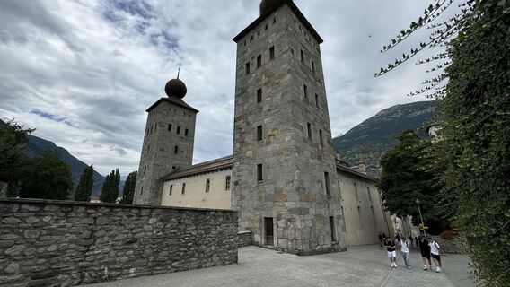
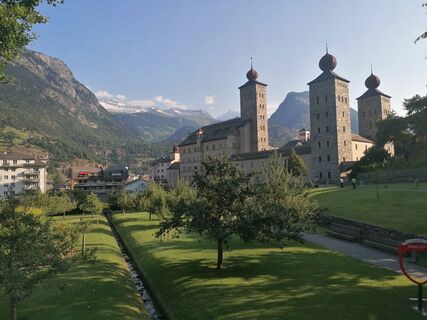
Stockalperschloss
-
Rosswald
-
Rosswald
-
Rosswald
-
Rosswald
-
Rosswald
-
Europahütte
-
Törbel - Chalet Dolores
-
Yakfarm - Embd
Popular tours in the neighbourhood
-
3,8
Höhenweg Saas-Fee - Grächen
Pješačenje 12,0 km -
CIRCULAR WALK MASSEGGA SUSPENSION BRIDGE
lightPješačenje 6,44 km -
5,0
Ibex path
mediumPješačenje 9,02 km -
SUONEN CIRCULAR HOKE GREDETSCHTAL
mediumPješačenje 7,45 km -
4,5
Jegihorn via ferrata
mediumVia ferrata 6,40 km -
5,0
Marmot mountain path Spielboden
mediumPješačenje 3,89 km -
4,0
SUONEN HIKE FROM STIGWASSER AND OBERSTA TO GREDETSCHTAL
mediumPješačenje 6,17 km -
4,6
Gspon high-altitude route
mediumPješačenje 13,9 km -
5,0
Via ferrata Jägihorn
heavyVia ferrata 6,14 km -
Panoramaweg Visperterminen
lightPješačenje 9,72 km
bergfex Tours


Ne propustite ponude i inspiraciju za vaš sljedeći odmor
Your e-mail address has been added to the mailing list.