© Valais/Wallis Promotion - Joakim Faiss
© Valais/Wallis Promotion - Joakim Faiss
© Valais/Wallis Promotion - Joakim Faiss
© Valais/Wallis Promotion - Joakim Faiss

- Kratak opis
-
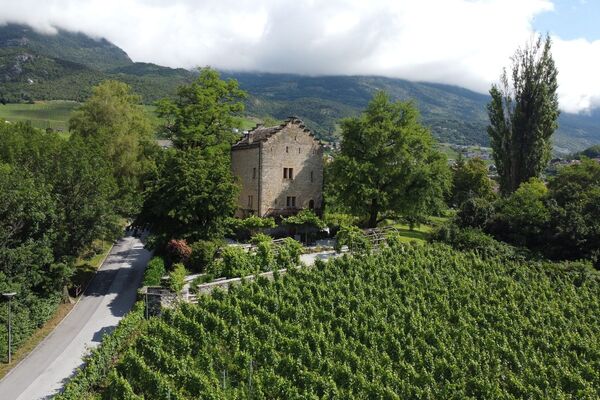
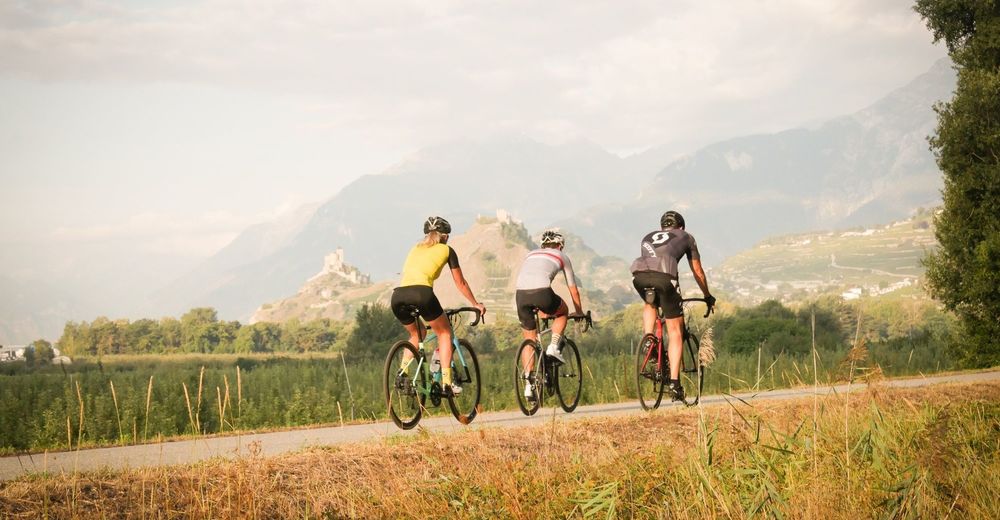
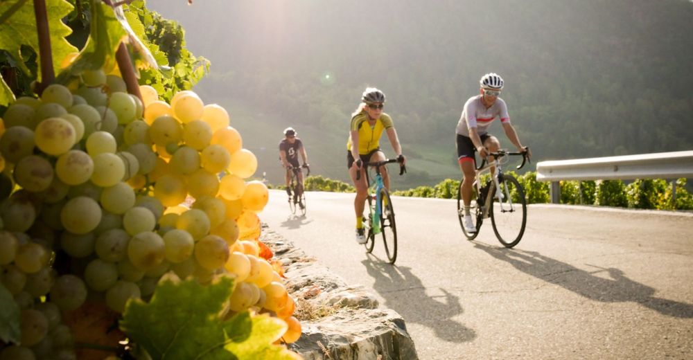
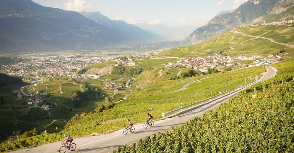
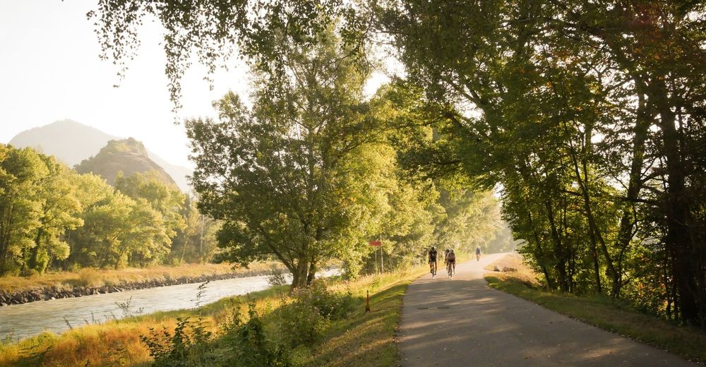
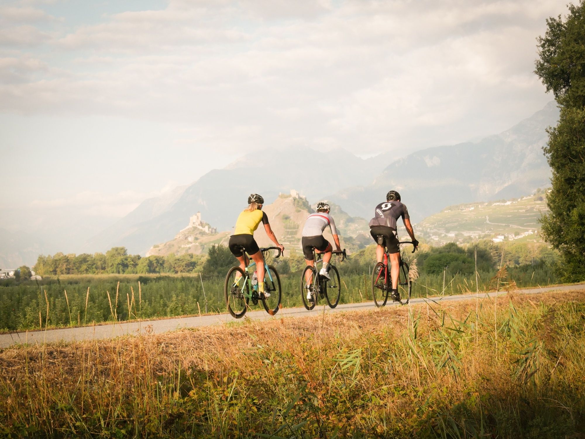
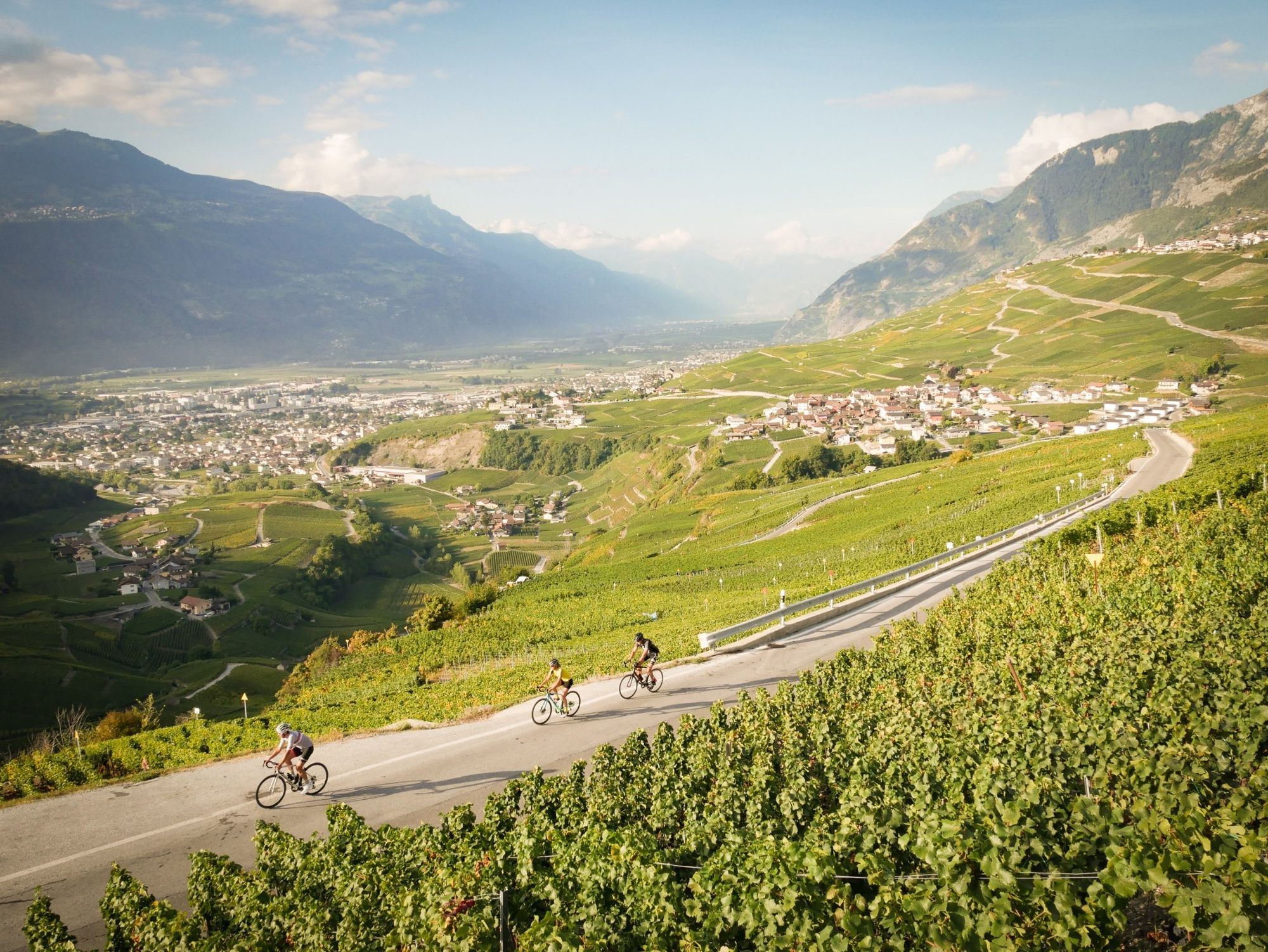
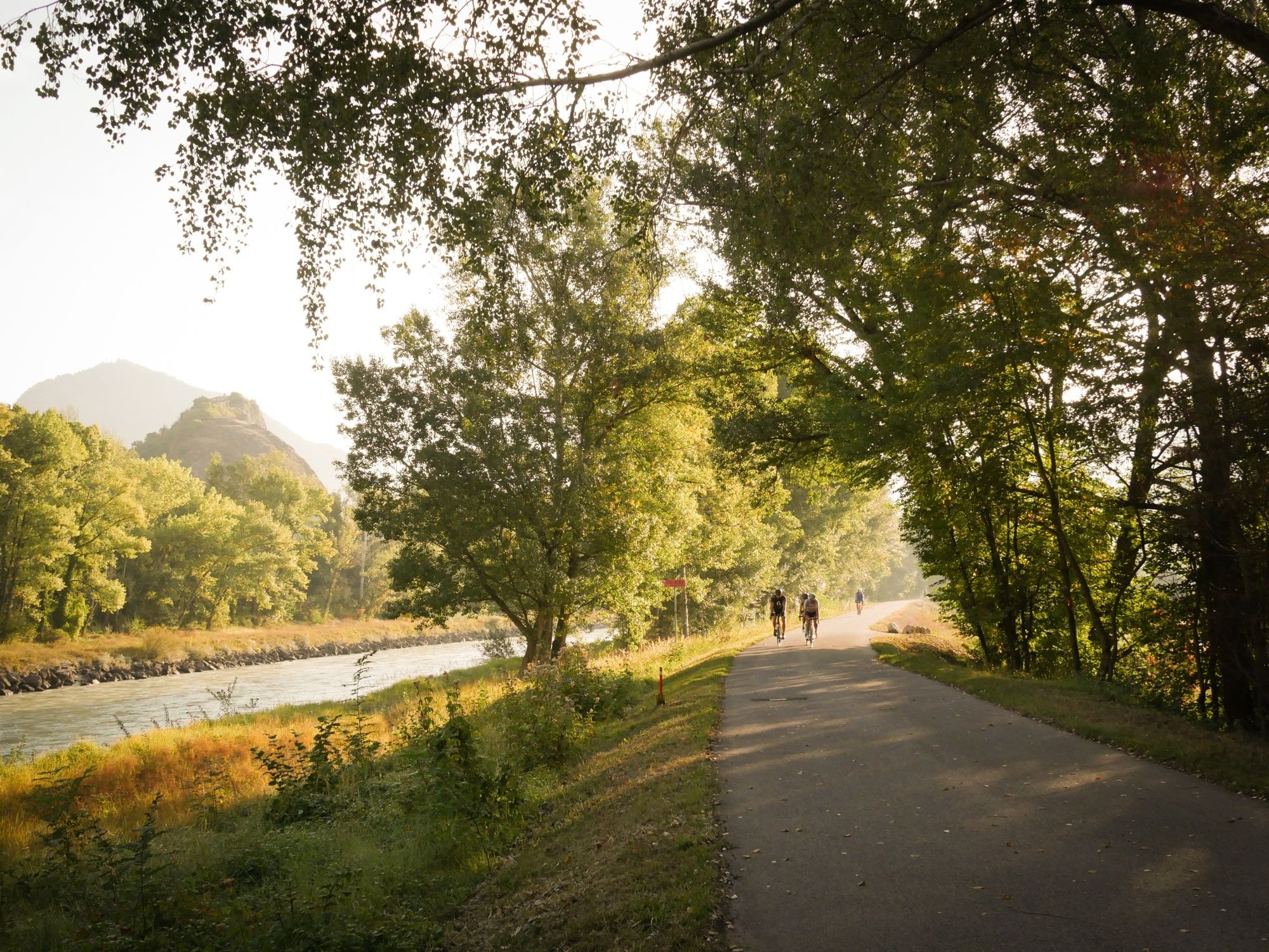
The Sion Castles Tour is a demanding route with a great variety of backdrops and scenery: terraced vineyards, orchards, forests, alpine panoramas, villages and castles.
- Teškoća
-
lagano
- Vrednovanje
-
- Wegverlauf
-
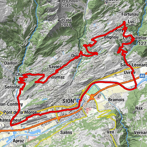
Sitten (515 m)Eglise évangélique0,0 kmCafé restaurant de l'Aviation2,3 kmChâteauneuf5,0 kmPont de la Morge6,1 kmVuisse7,5 kmChandolin10,9 kmLa Grande Maison11,0 kmCafé du Château de la Soie12,6 kmGranois12,7 kmSitten (515 m)14,5 kmRoumaz15,2 kmSaint-Germain15,5 kmCafé Restaurant de l’Union15,5 kmCafé Restaurant La Channe15,5 kmSavièse15,8 kmLa Soie16,2 kmDrône17,4 kmGrimseln (882 m)19,8 kmArbaz (1.146 m)23,3 kmBlignou (Ayent)24,2 kmBotyre (Ayent)24,6 kmSaxonne (Ayent)25,2 kmSt-Romain (Ayent)25,9 kmFortunau (Ayent)25,9 kmLuc (Ayent)26,0 kmLa Place (Ayent)27,7 kmLe château (997 m)27,9 kmLormey31,6 kmSaint-Léonard (498 m)33,7 kmUvrier34,1 kmSitten (515 m)41,3 km
- Beste Jahreszeit
-
sijveljožutrasvilipsrpkolrujlisstupro
- Höchster Punkt
- 1.147 m
- Zielpunkt
-
Sion
- Höhenprofil
-
 © outdooractive.com

- Autor
-
Die Tour Castles of Sion and surroundings wird von outdooractive.com bereitgestellt.
GPS Downloads


Opće informacije
Einkehrmöglichkeit
Kulturell/Historisch
Geheimtipp
Aussichtsreich
Weitere Touren in den Regionen
-
Thyon les Collons
118
-
Sion / Sitten
74
-
Grimisuat
29