© Brig Simplon Tourismus AG - Büro Simplonpass

© Brig Simplon Tourismus AG - Büro Simplonpass

© Brig Simplon Tourismus AG - Büro Simplonpass

© Brig Simplon Tourismus AG - Büro Simplonpass

© Brig Simplon Tourismus AG - Büro Simplonpass

- Kratak opis
-
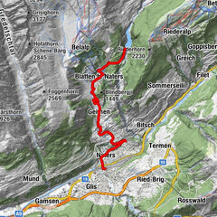
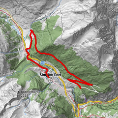
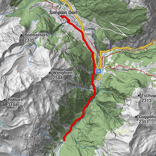
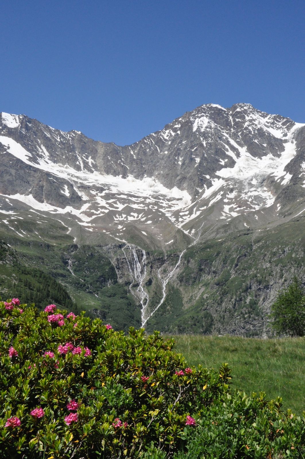
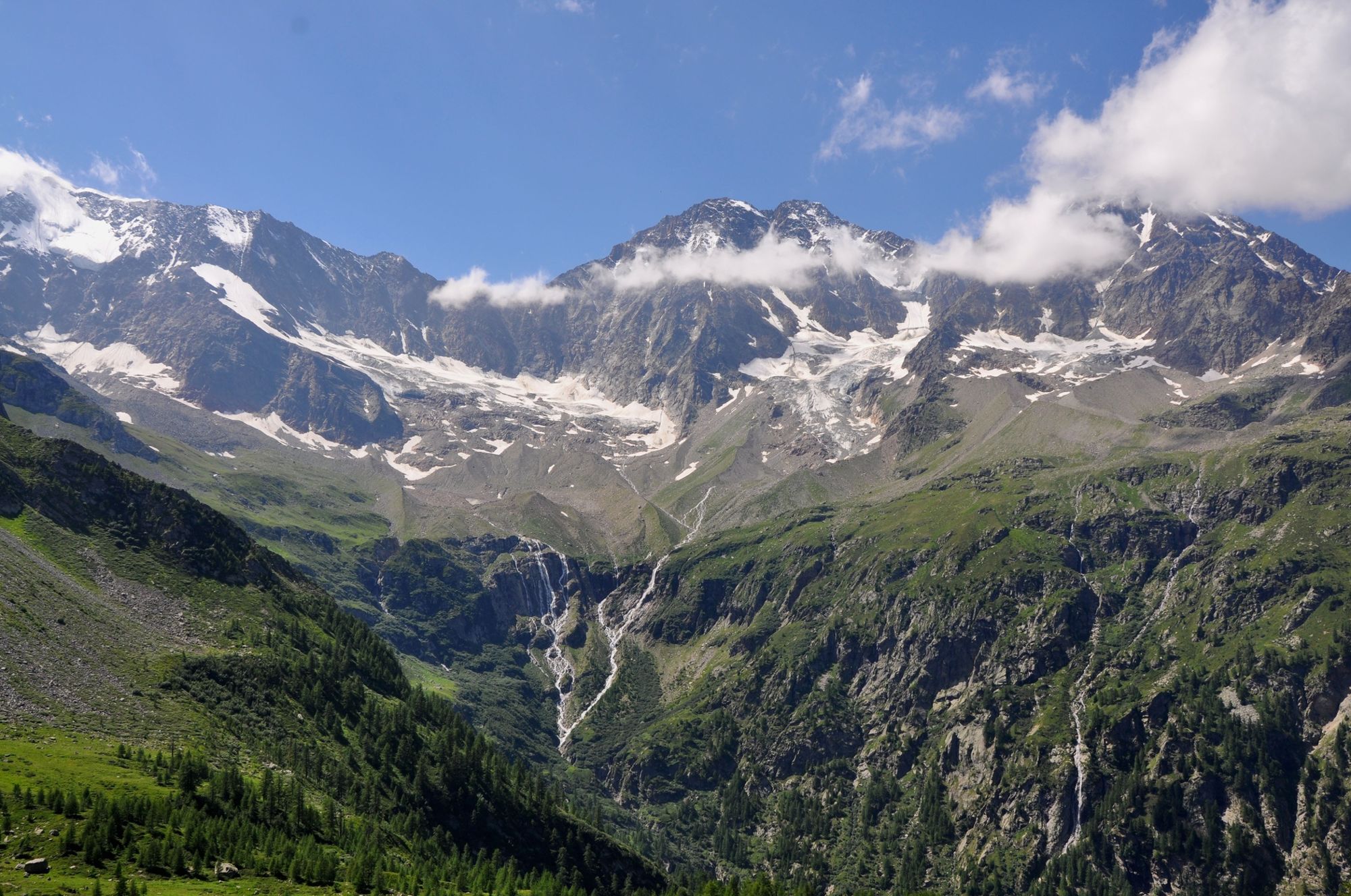
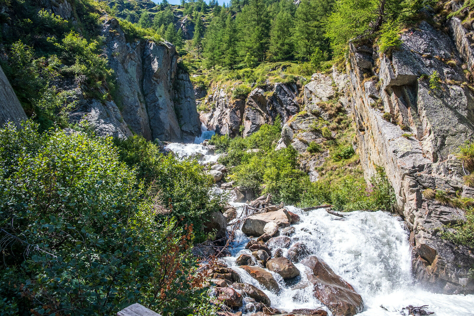
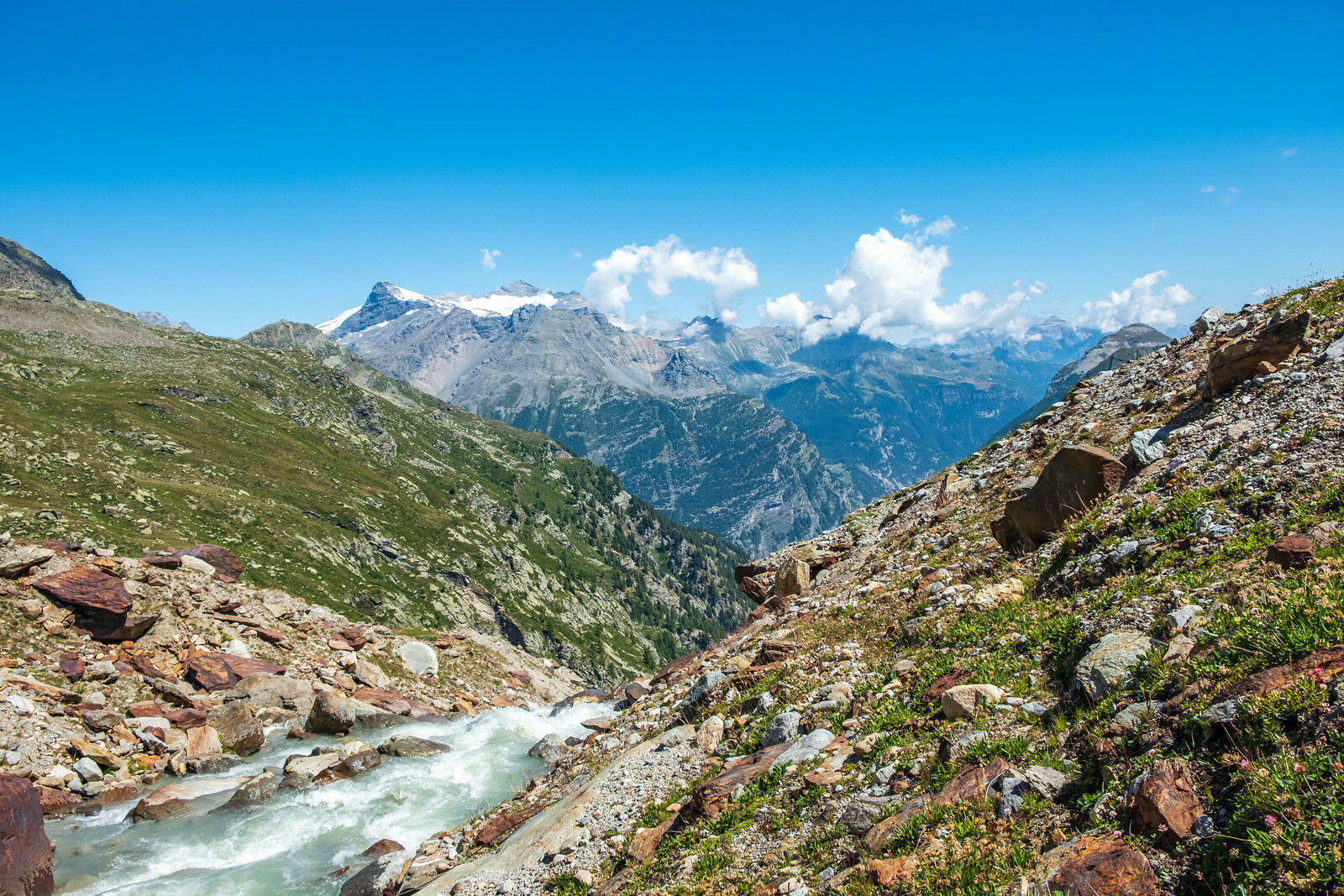
Diese Tour führt durch die einzigartige Flora und Fauna des Laggintal.
- Teškoća
-
lagano
- Vrednovanje
-
- Wegverlauf
-
Kirche St. Gotthard0,1 kmSimplon Dorf (1.476 m)0,1 kmHotel Fletschhorn0,2 km
- Beste Jahreszeit
-
sijveljožutrasvilipsrpkolrujlisstupro
- Höchster Punkt
- 1.553 m
- Zielpunkt
-
Talende Laggintal
- Höhenprofil
-
 © outdooractive.com

- Autor
-
Die Tour Laggintal wird von outdooractive.com bereitgestellt.
GPS Downloads


Weitere Touren in den Regionen
-
Aletsch Arena
55
-
Saastal
23
-
Simplon
12