
- Kratak opis
-
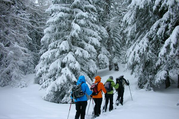
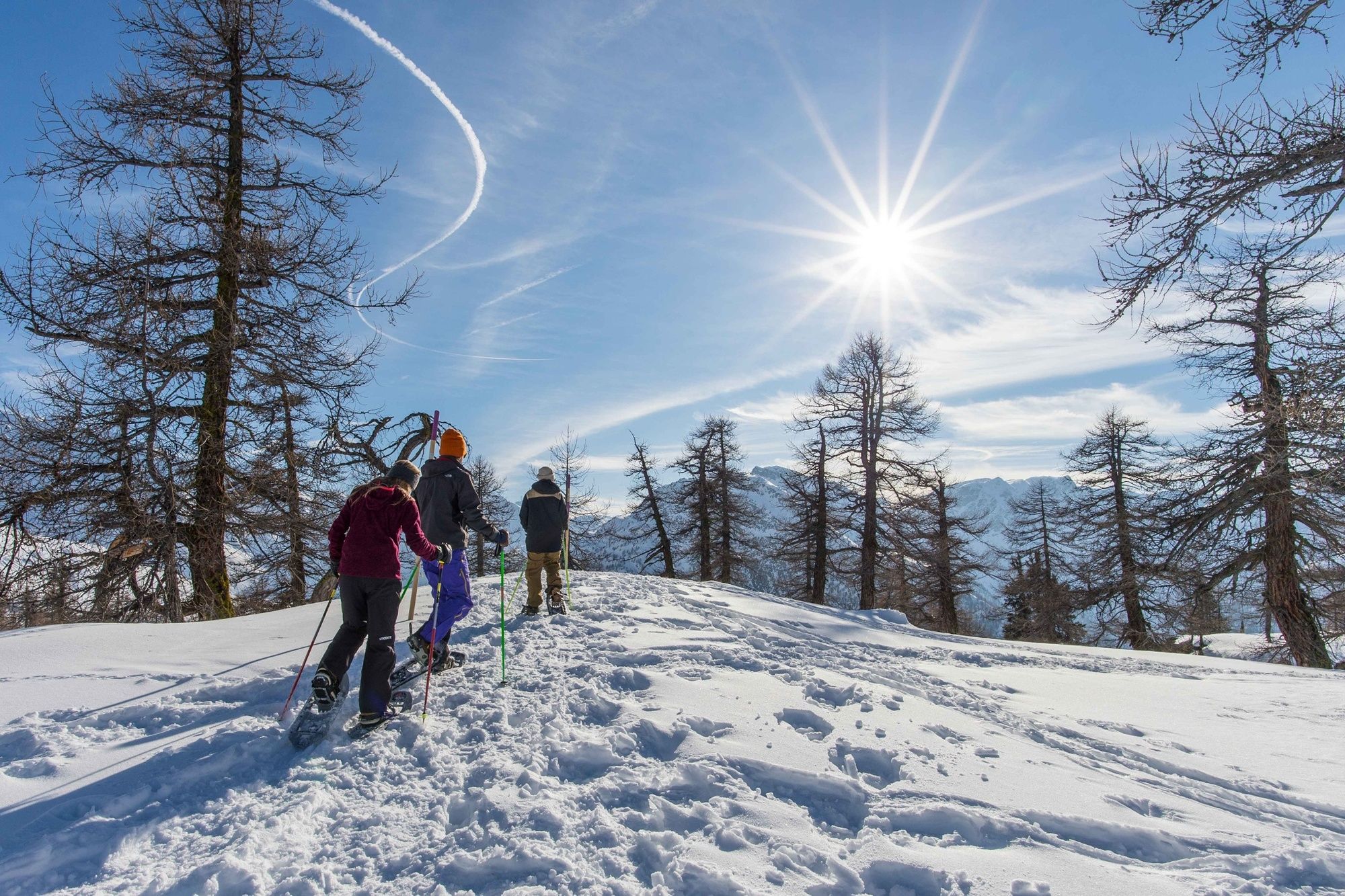
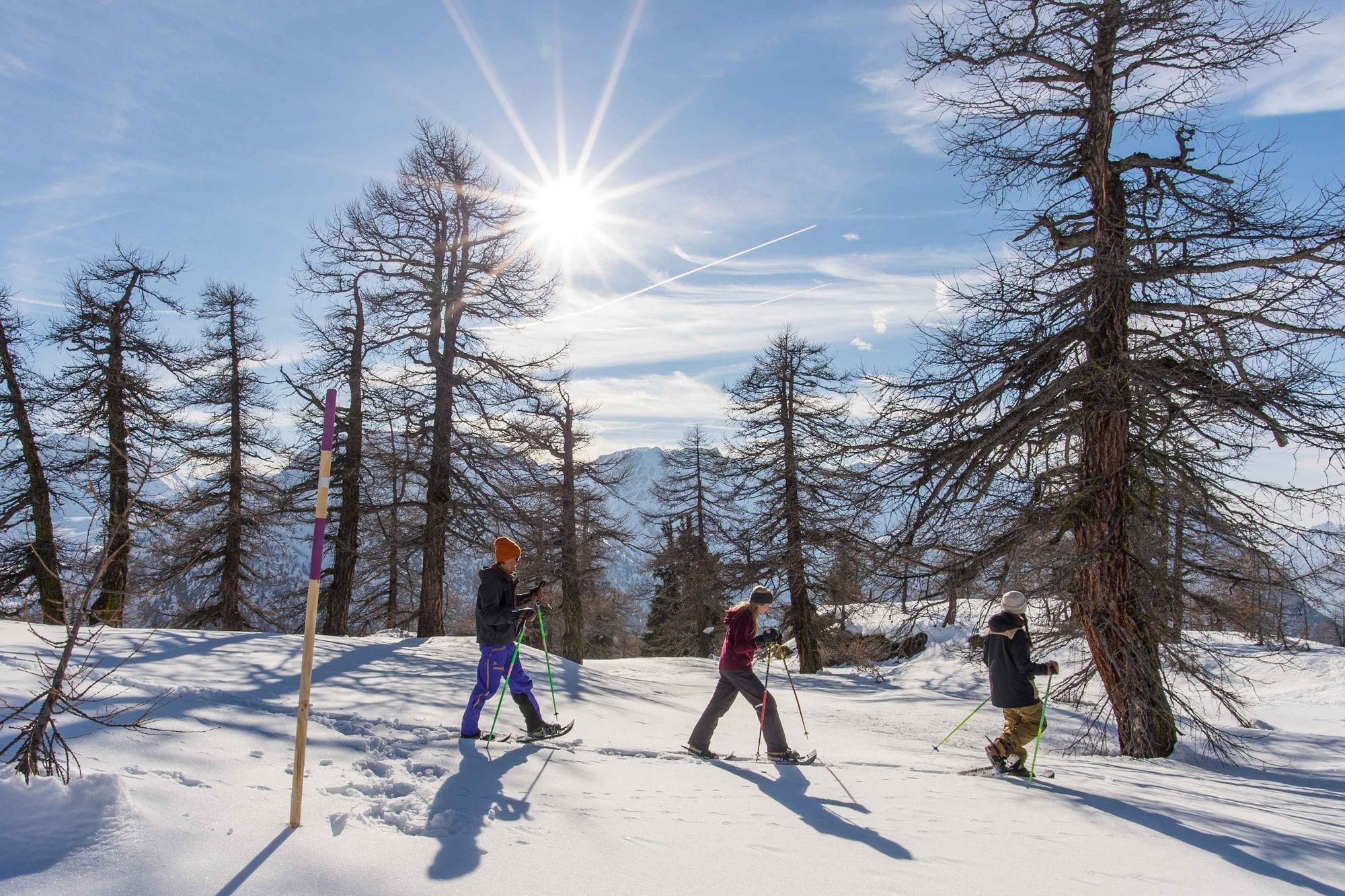
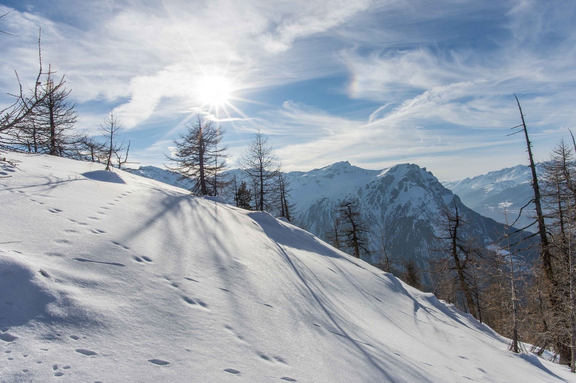
The Rothwald Trail is a snowshoe hike through the dreamlike winter landscape of the Brig-Simplon region on which snow-capped larch trees accompany you for much of the way.
- Teškoća
-
srednje
- Vrednovanje
-
- Wegverlauf
-
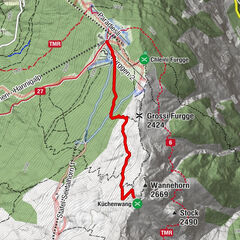
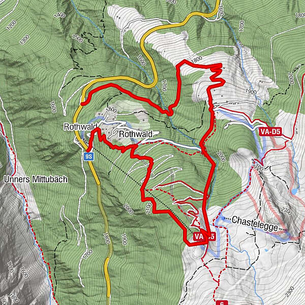
Rothwald0,1 kmRothwald0,7 kmMäderlicka2,2 kmKapelle Wasenalp3,7 kmWasenalp3,7 kmGanterwald6,2 km
- Beste Jahreszeit
-
kolrujlisstuprosijveljožutrasvilipsrp
- Höchster Punkt
- 2.214 m
- Zielpunkt
-
Rothwald Ganterwald
- Höhenprofil
-
 © outdooractive.com
- Autor
-
Die Tour Rothwald Trail wird von outdooractive.com bereitgestellt.
GPS Downloads


Opće informacije
Einkehrmöglichkeit
Flora
Aussichtsreich
Weitere Touren in den Regionen
-
Aletsch Arena
131
-
Brig Simplon
71
-
Rosswald
34