- Kratak opis
-
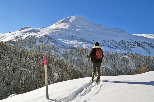
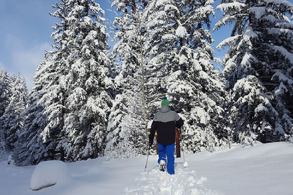
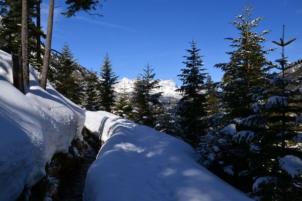
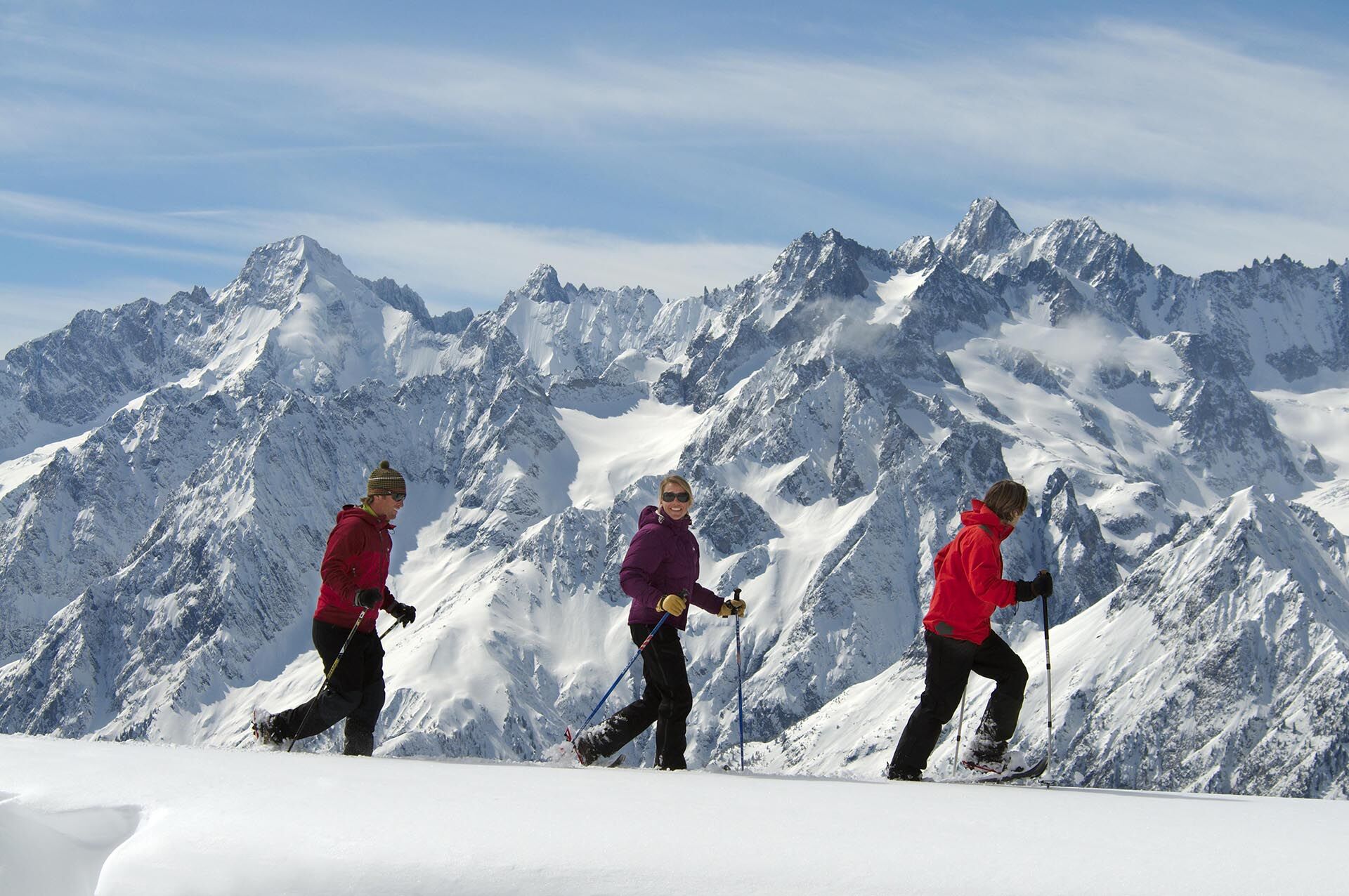
This east-facing trail is very sunny and offers a magnificent excursion through the Vichères-Liddes ski area.
- Teškoća
-
srednje
- Vrednovanje
-
- Wegverlauf
-
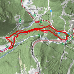
Le Chapelet5,4 kmLe Chapelet8,6 km
- Beste Jahreszeit
-
kolrujlisstuprosijveljožutrasvilipsrp
- Höchster Punkt
- 2.105 m
- Zielpunkt
-
Le Chapelet parking lot (skibus stop)
- Höhenprofil
-
 © outdooractive.com


- Autor
-
Die Tour N.4 - Plan Beu wird von outdooractive.com bereitgestellt.
GPS Downloads


Opće informacije
Einkehrmöglichkeit
Aussichtsreich
Weitere Touren in den Regionen
-
Unterwallis
88
-
Pays du Saint-Bernard
11
-
Orsières
10