© Grächen und St. Niklaus Tourismus und Gewerbe
© Grächen und St. Niklaus Tourismus und Gewerbe
© Grächen und St. Niklaus Tourismus und Gewerbe - Mégane Roduit

- Kratak opis
-
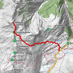
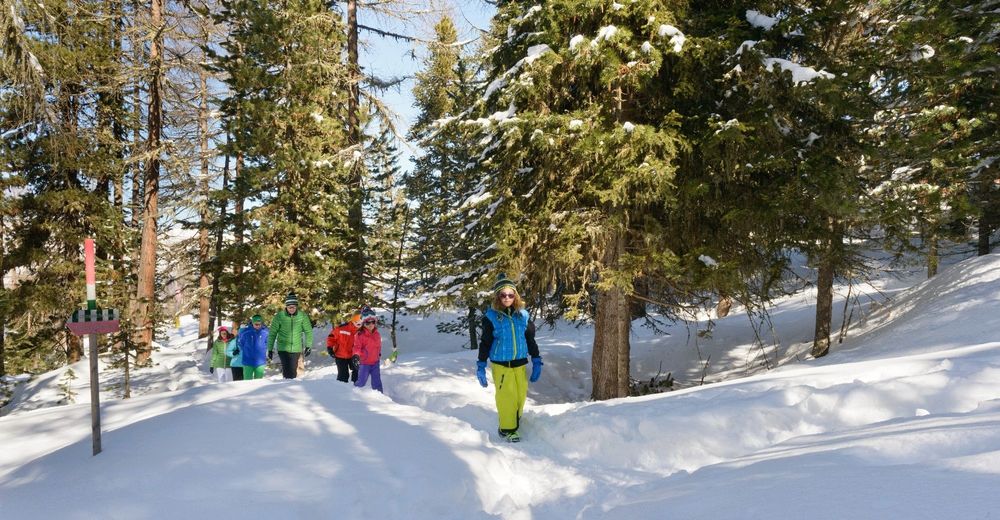
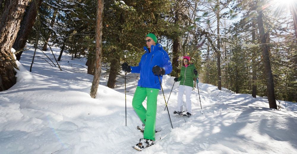
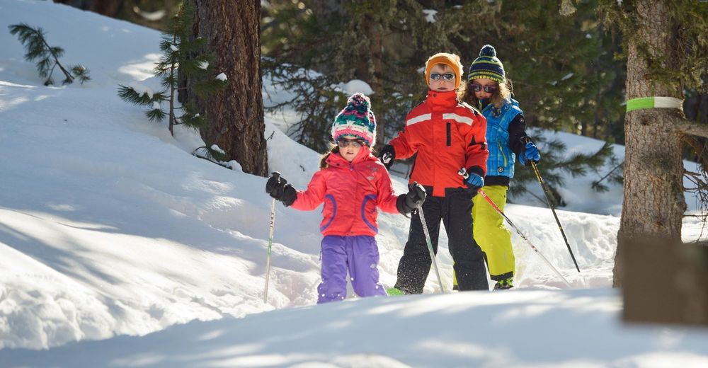
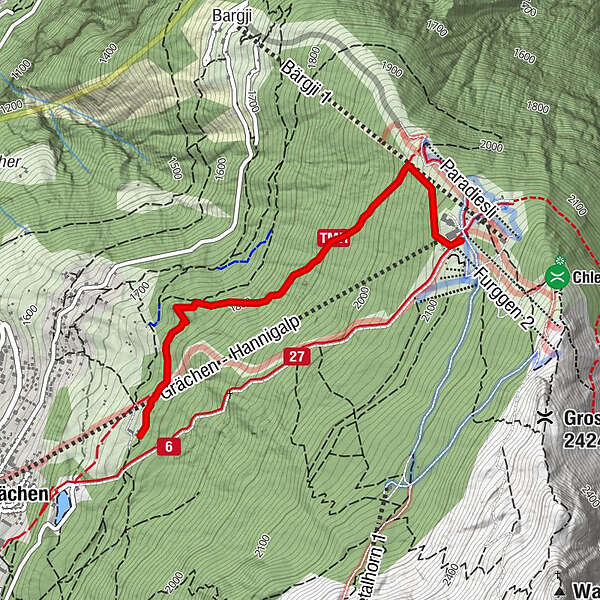
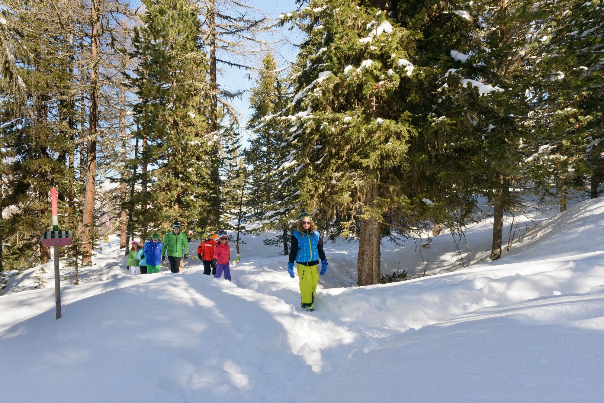
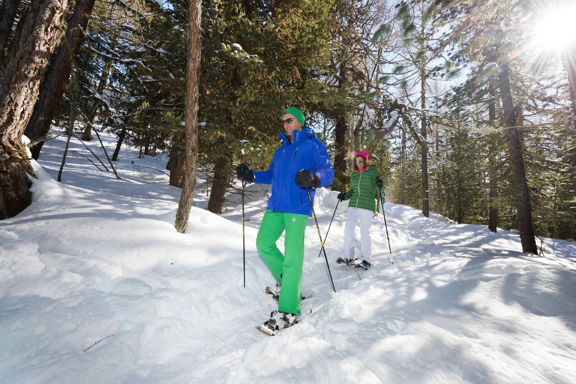
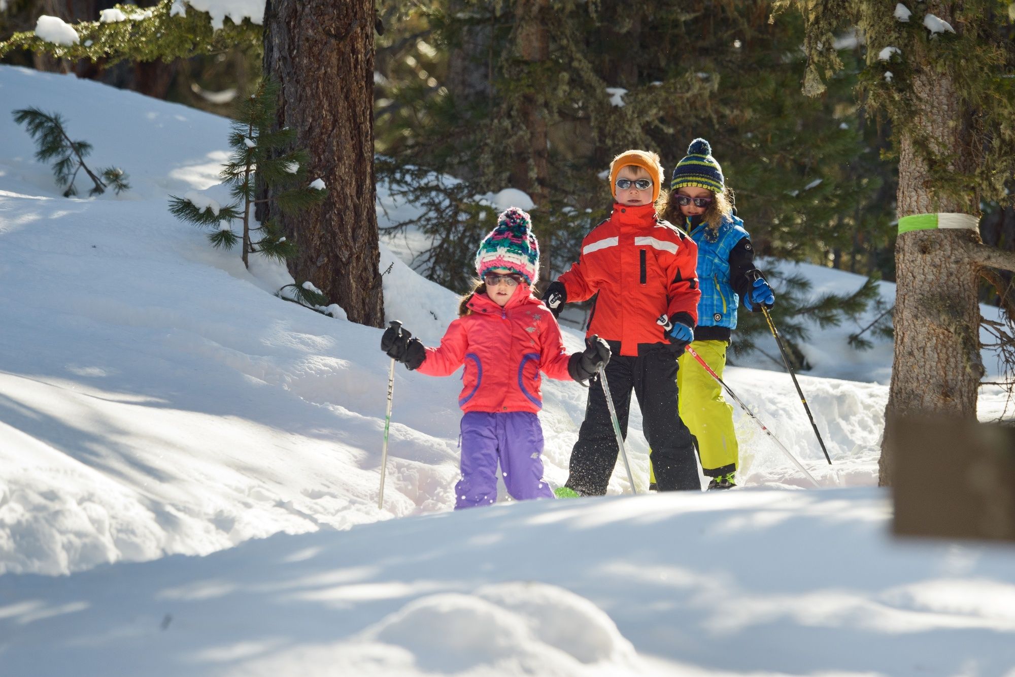
A fairly demanding snowshoe tour from Alpe Äpnet passing through snowy landscapes and the larch forest of Grächen, the high point of the the Hannigalp Trail. You’ll be rewarded for the climb once you reach the end.
- Teškoća
-
srednje
- Vrednovanje
-
- Beste Jahreszeit
-
kolrujlisstuprosijveljožutrasvilipsrp
- Höchster Punkt
- 2.114 m
- Zielpunkt
-
Hannigalp
- Höhenprofil
-
 © outdooractive.com
- Autor
-
Die Tour Alpe Äpnet – Hannigalp-Trail wird von outdooractive.com bereitgestellt.
GPS Downloads


Opće informacije
Einkehrmöglichkeit
Fauna
Aussichtsreich
Weitere Touren in den Regionen
-
Oberwallis
194
-
Moosalpregion
112
-
Grächen - St. Niklaus
32