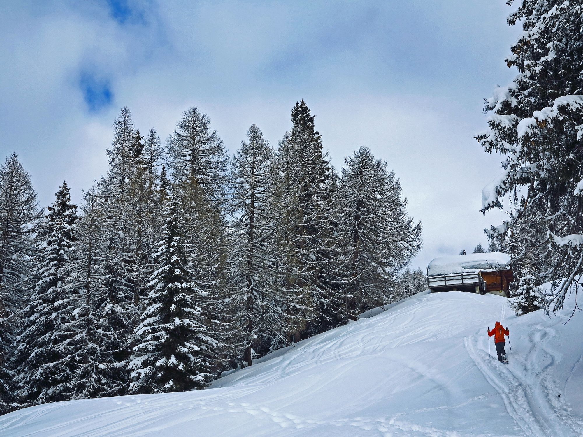
© Obergoms Tourismus AG - Christian Pfammatter
© Tourenplaner SCHWEIZ - Jochen Ihle

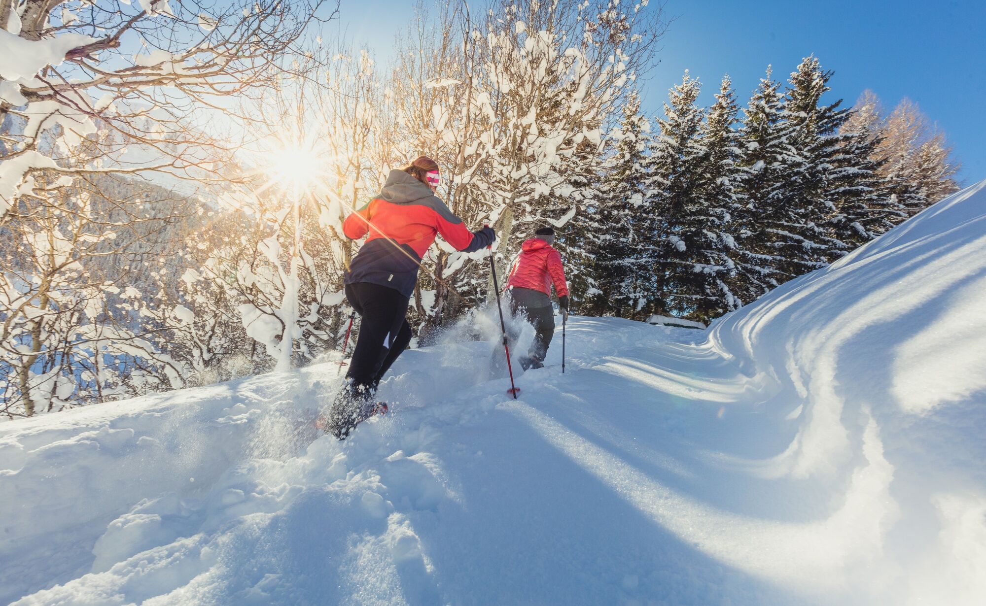
© Obergoms Tourismus AG - Christian Pfammatter

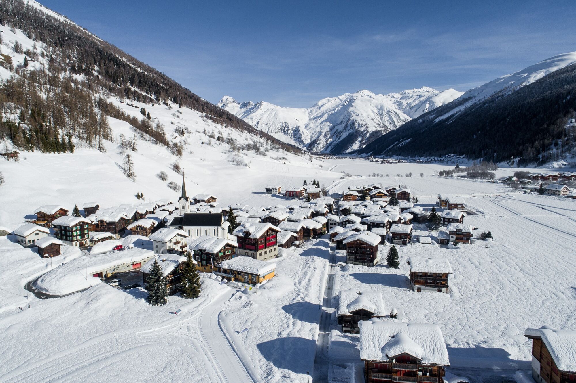
© Obergoms Tourismus AG - Christian Pfammatter

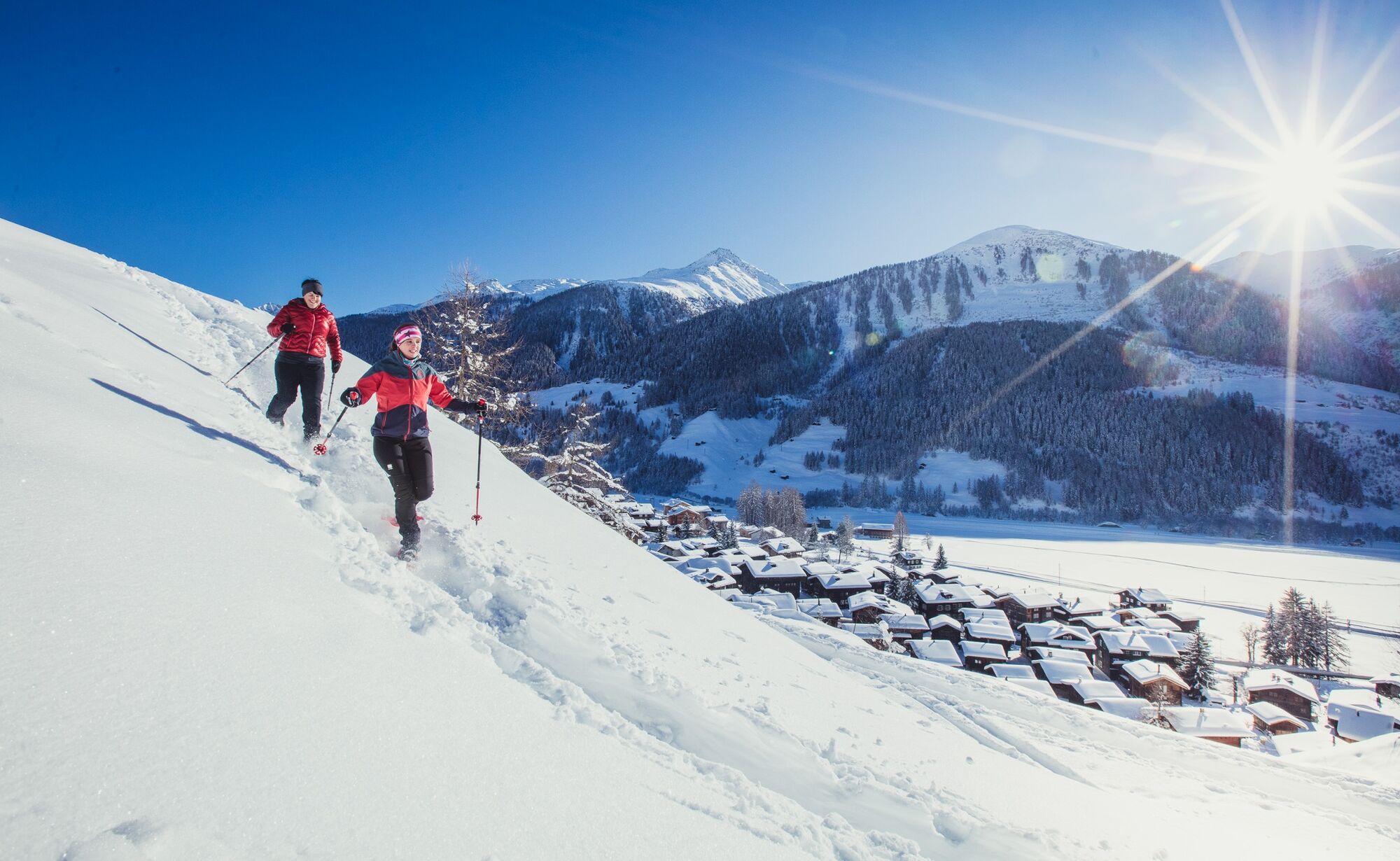
© Obergoms Tourismus AG - Christian Pfammatter

© Obergoms Tourismus AG - Christian Pfammatter


- Kratak opis
-
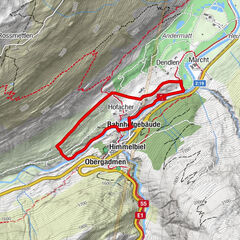
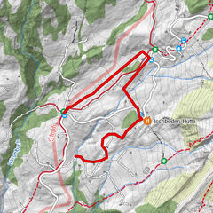
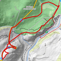
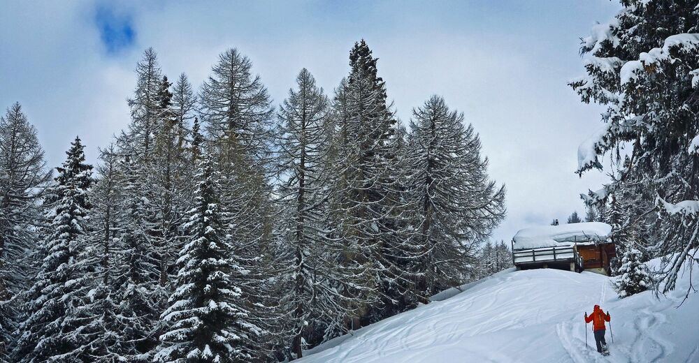
Far away from civilization and traffic, the Blaswald Trail finds its way across pastures and through mountain forest to the former ski lift mountain station and summery Alp Senntumhitte.
- Teškoća
-
teška
- Vrednovanje
-
- Wegverlauf
-
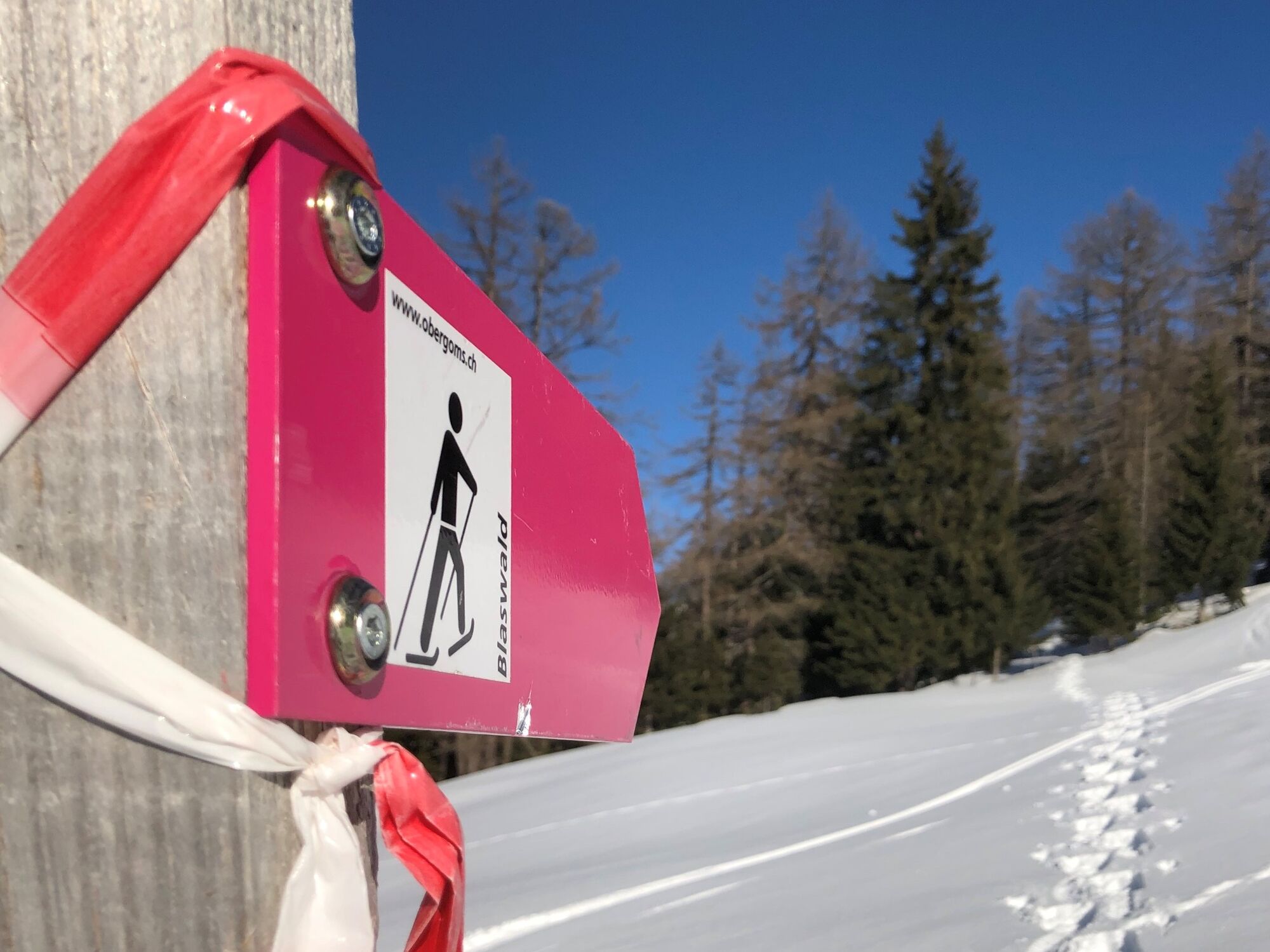
Ulrichen0,1 kmWeid0,2 kmBlasen1,2 km
- Beste Jahreszeit
-
kolrujlisstuprosijveljožutrasvilipsrp
- Höchster Punkt
- 1.782 m
- Zielpunkt
-
Ulrichen, Zum Loch
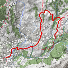
- Höhenprofil
-
 © outdooractive.com

- Autor
-
Die Tour Blaswald Trail wird von outdooractive.com bereitgestellt.
GPS Downloads


Opće informacije
Aussichtsreich
Weitere Touren in den Regionen
-
Aletsch Arena
131
-
Goms
52
-
Riale
7