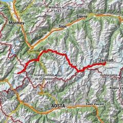
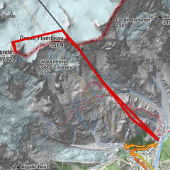
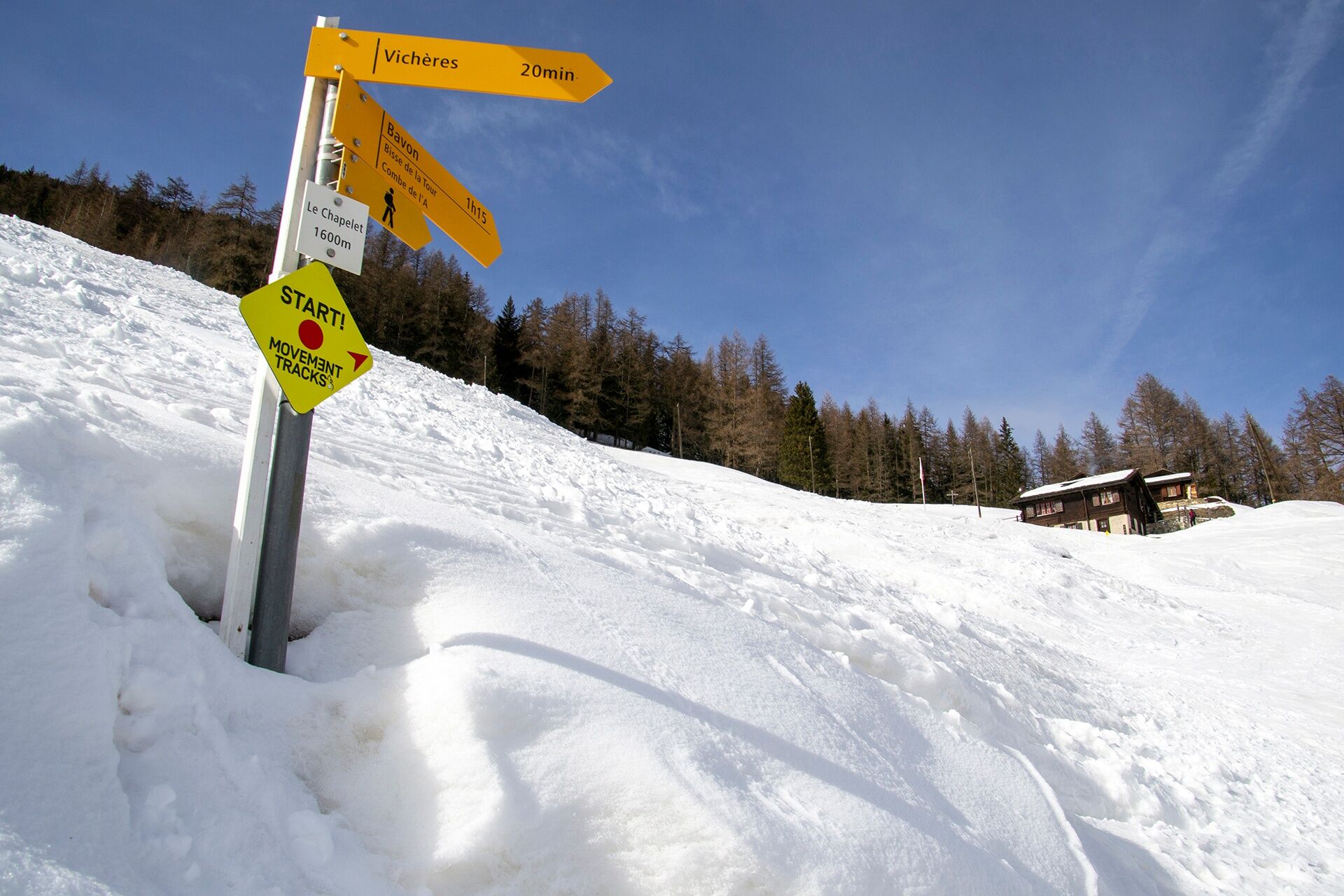
Rando-parc "Vichères Movement tracks": Chapelet - Vouardette


- Kratak opis
-
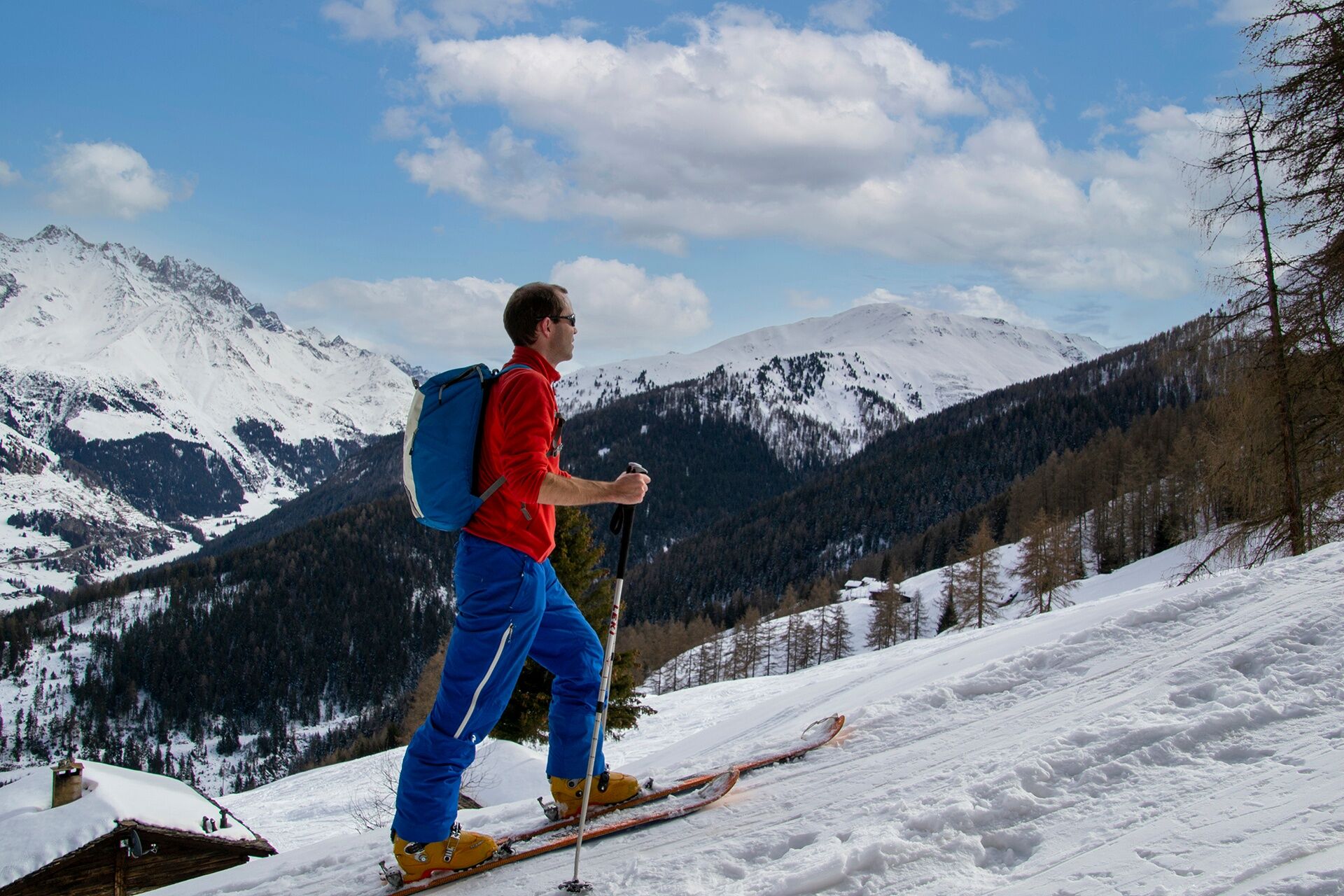
A nice red course in the forest and on the ski slopes!
- Teškoća
-
lagano
- Vrednovanje
-
- Beste Jahreszeit
-
kolrujlisstuprosijveljožutrasvilipsrp
- Höchster Punkt
- 2.021 m
- Zielpunkt
-
Parking of Télés Vichères-Liddes
- Höhenprofil
-
 © outdooractive.com
- Autor
-
Die Tour Rando-parc "Vichères Movement tracks": Chapelet - Vouardette wird von outdooractive.com bereitgestellt.
GPS Downloads


Opće informacije
Einkehrmöglichkeit
Aussichtsreich
Weitere Touren in den Regionen