
- Kratak opis
-
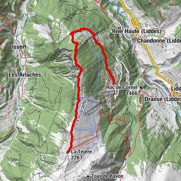
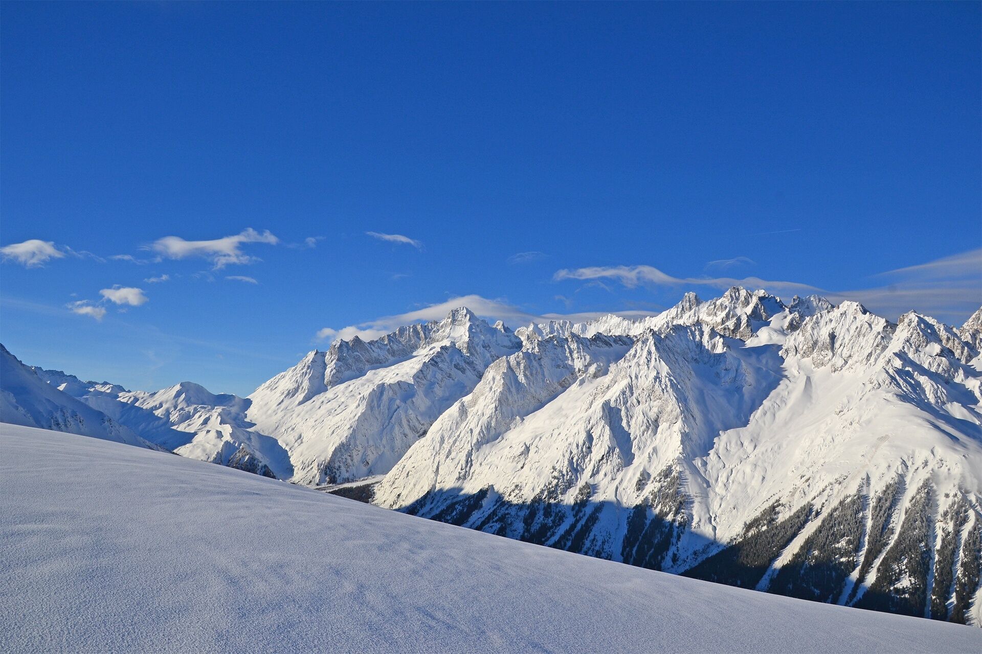
From the forest of Vichères to the ridge between the Entremont Valley and the Val Ferret!
- Teškoća
-
srednje
- Vrednovanje
-
- Wegverlauf
-
La Tèjere (2.267 m)6,6 km
- Beste Jahreszeit
-
kolrujlisstuprosijveljožutrasvilipsrp
- Höchster Punkt
- 2.263 m
- Zielpunkt
-
Roadside parking spaces
- Höhenprofil
-
 © outdooractive.com
- Autor
-
Die Tour Rando-parc "Vichères Movement tracks": La Téjeur wird von outdooractive.com bereitgestellt.
GPS Downloads


Opće informacije
Einkehrmöglichkeit
Aussichtsreich
Weitere Touren in den Regionen
-
Unterwallis
93
-
Pays du Saint-Bernard
30
-
Orsières
10