© Lötschental Tourismus - Sandra Stockinger
© Lötschental Tourismus - Sandra Stockinger
© Lötschental Tourismus - Sandra Stockinger

- Kratak opis
-
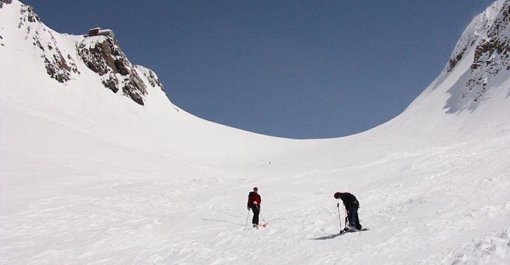
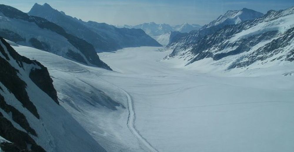
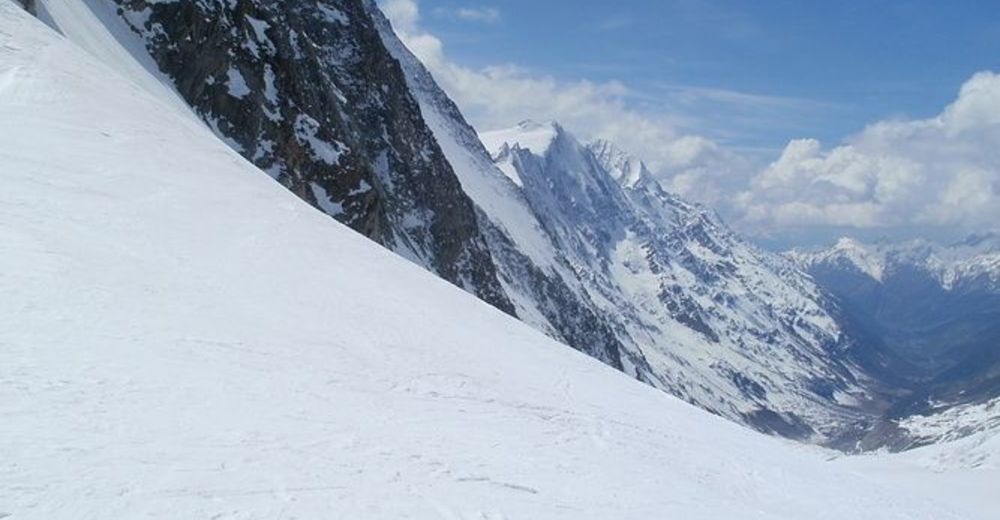
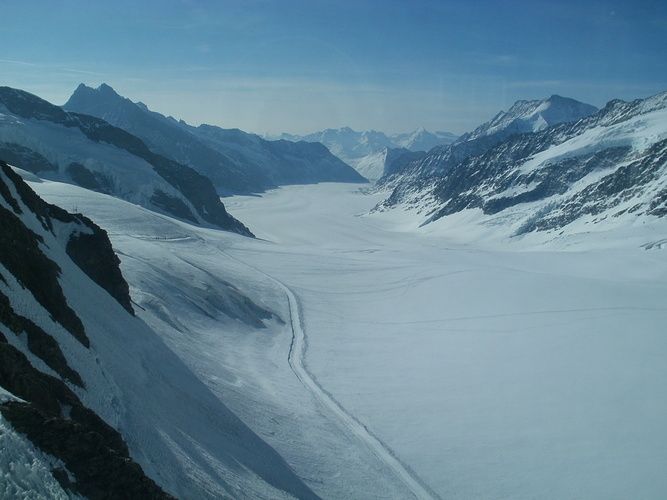
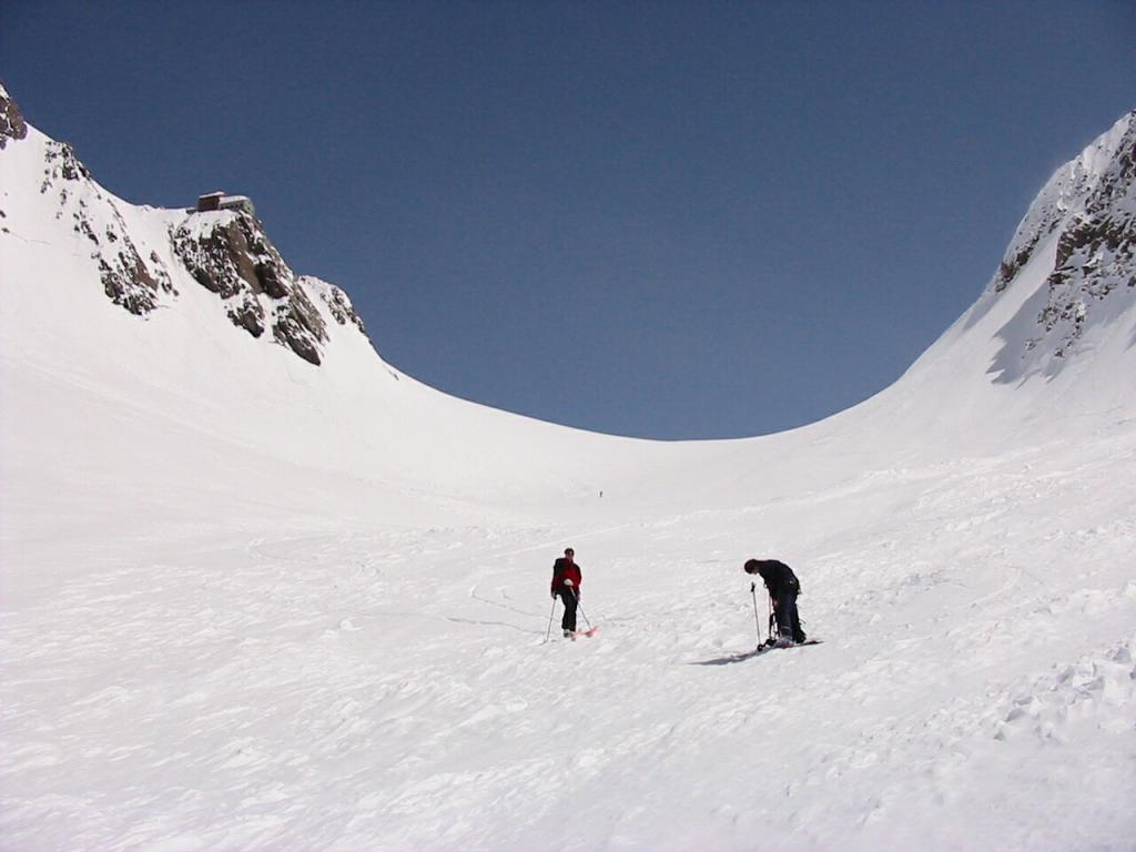
A lovely and impressive ski tour to the Lötschenlücke with a fantastic descent via the Langgletscher (Lang Glacier).
- Teškoća
-
srednje
- Vrednovanje
-
- Wegverlauf
-
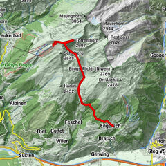
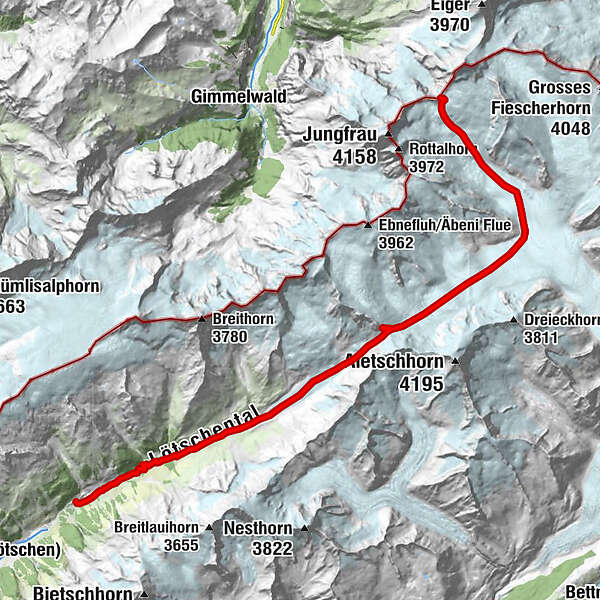
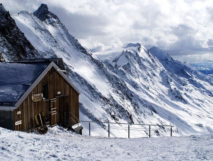
Hollandiahütte (3.238 m)12,3 kmGletscherstafel21,4 kmKapelle Mariä Heimsuchung23,8 kmKühmad23,9 kmDorfkirche25,9 kmBlatten (Lötschen)25,9 km
- Beste Jahreszeit
-
kolrujlisstuprosijveljožutrasvilipsrp
- Höchster Punkt
- 3.445 m
- Zielpunkt
-
Blatten, Post
- Exposition
- Höhenprofil
-
 © outdooractive.com

- Autor
-
Die Tour Lötschenlücke wird von outdooractive.com bereitgestellt.
GPS Downloads


Opće informacije
Einkehrmöglichkeit
Geheimtipp
Aussichtsreich
Weitere Touren in den Regionen