Podaci o ruti
7,63km
1.450 - 2.189m
Distanz
722hm
736hm
Aufstieg
03:55h
 
Dauer
Kratak opis

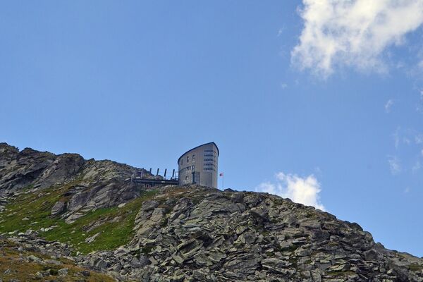
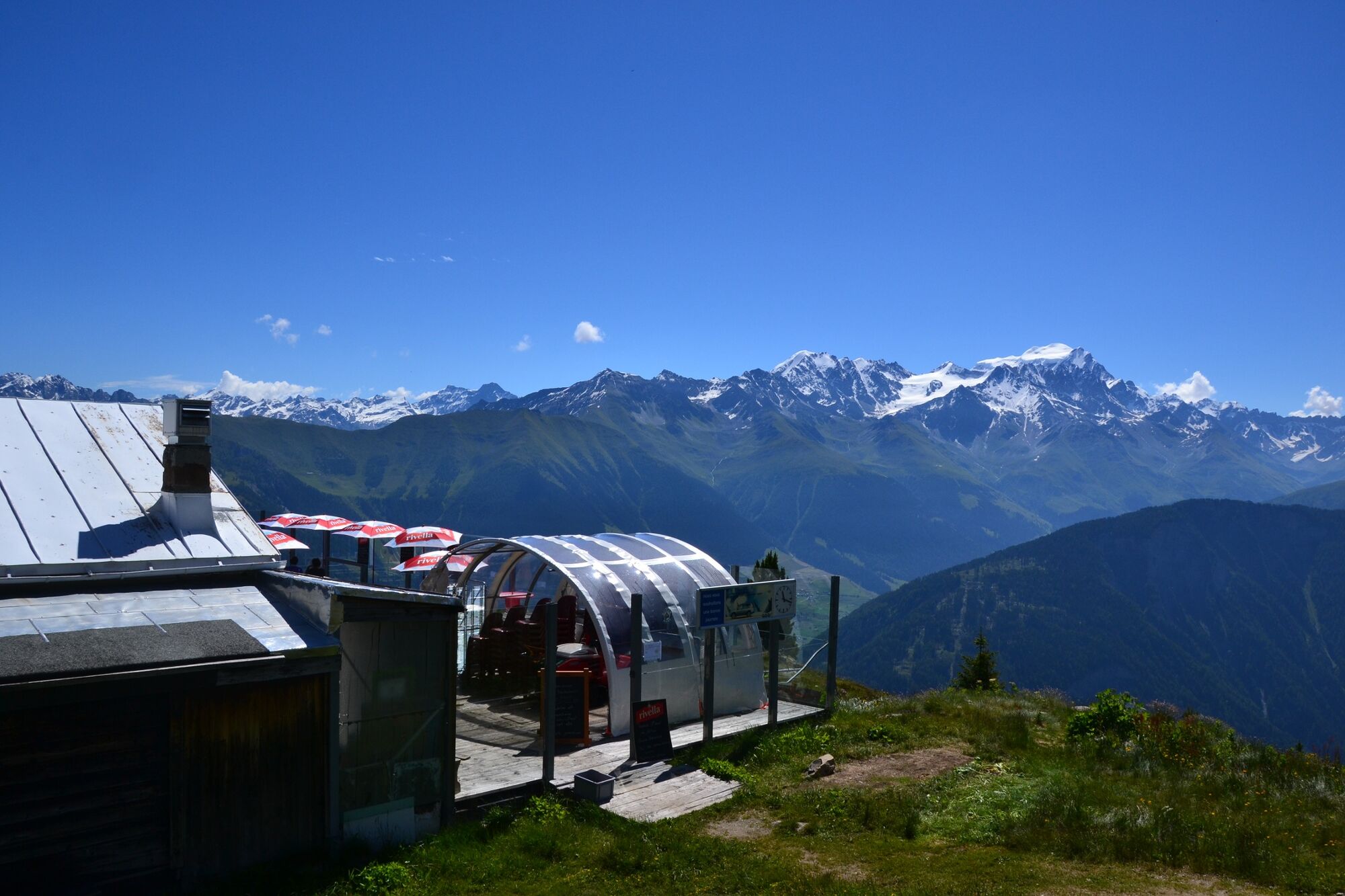
Join the summit of La Breya for a breathtaking panorama!

Teškoća
lagano
Vrednovanje
Tehnika
Kondicija
Krajolik
Doživljaj
Wegverlauf
Champex-Lac
La Breya (2.184 m)
4,3 km
Breya
4,3 km
Champex-Lac
7,6 km

Beste Jahreszeit
sij
velj
ožu
tra
svi
lip
srp
kol
ruj
lis
stu
pro
Höchster Punkt
2.189 m
Zielpunkt

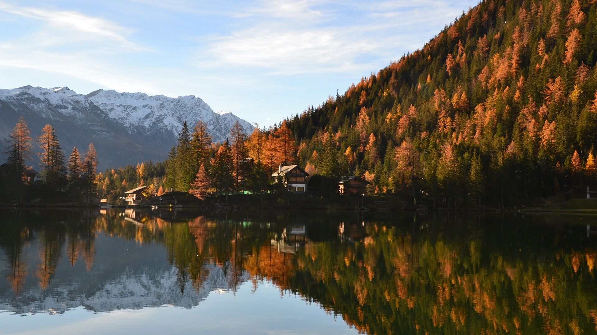
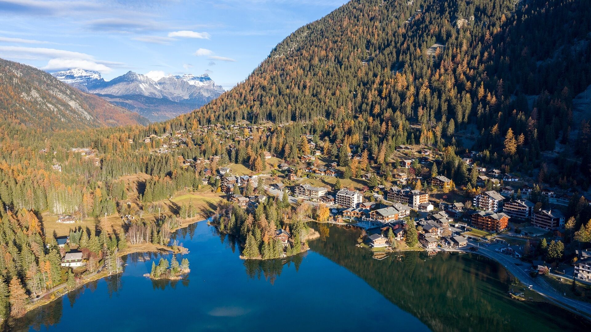
Champex-Lac Tourist Office

Höhenprofil
© outdooractive.com

Autor
Die Tour N°04 La Breya wird von outdooractive.com bereitgestellt.

Gesamtbewertung

5

0

%

4

0

%

3

0

%

2

0

%

1

0

%

Error
Ein Fehler ist aufgetreten. Bitte versuche es erneut.
Vielen Dank für deine Bewertung

Bewertung wurde gelöscht

GPS Downloads
  • GPX GPS Exchange Format (XML)
  • KML Google Earth, Google Maps
QR Download Codes für Mobiltelefone

Opće informacije

Einkehrmöglichkeit
Aussichtsreich
Weitere Touren in den Regionen

Beliebte Touren in der Umgebung

Fionnay - Col des Otanes - Corbassière

teška Trailrunning
16,29km | 1327hm | 04:03h

N°11 Trail du Vélan

teška Trailrunning
20,3km | 1675hm | 09:40h

Via Valais Verbier - Cabane d’Essertze (Stage 1)

teška Trailrunning
29,91km | 1058hm | 05:40h

Trail Verbier St-Bernard

teška Trailrunning
114,51km | 7580hm | 26:30h