
- Kratak opis
-
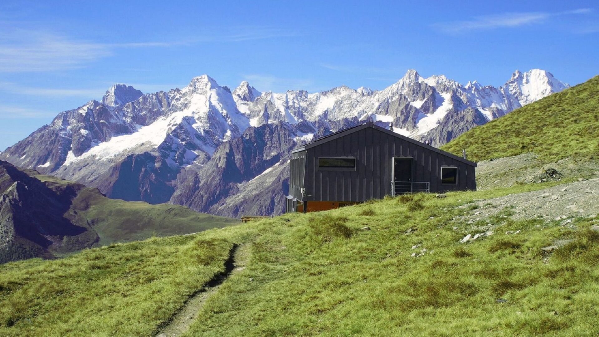
A beautiful trail that will lead you on the ridge between the Val d'Entremont and the Val de Bagnes!
- Teškoća
-
srednje
- Vrednovanje
-
- Wegverlauf
-
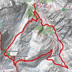
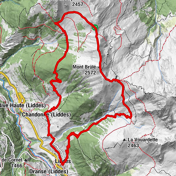
Dranse (Liddes)Liddes0,1 kmErra d'en Bas3,7 kmErra d'en Haut4,3 kmMont Brûlé (2.572 m)6,5 kmChandonne (Liddes)13,8 kmChapelle de Chandonne13,8 kmLiddes15,6 kmDranse (Liddes)15,7 km
- Beste Jahreszeit
-
sijveljožutrasvilipsrpkolrujlisstupro
- Höchster Punkt
- 2.554 m
- Zielpunkt
-
Liddes Centre
- Höhenprofil
-
 © outdooractive.com
-

-
AutorDie Tour N°07 Mont-Brûlé wird von outdooractive.com bereitgestellt.
GPS Downloads


Opće informacije
Einkehrmöglichkeit
Aussichtsreich
Weitere Touren in den Regionen