© Unbekannt

© Unbekannt
© Trail Hotspot

© Trail Hotspot

- Kratak opis
-
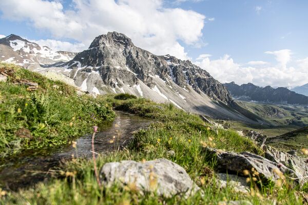
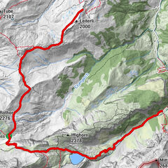
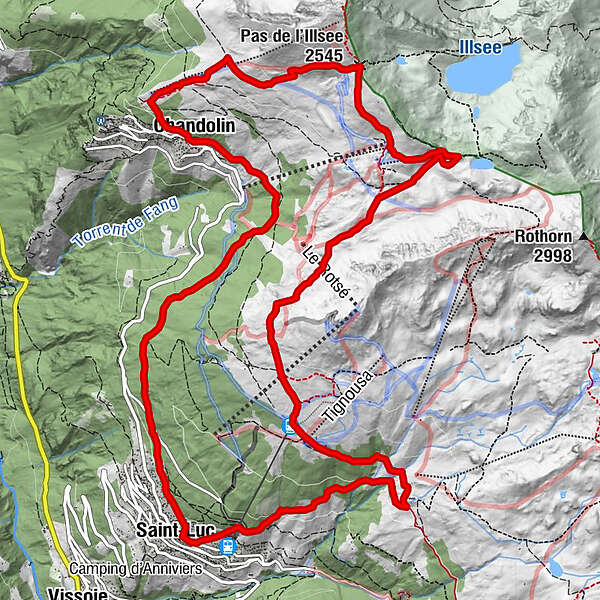
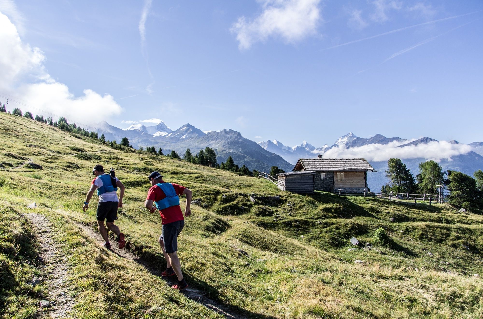
Run along a 16.8 km loop that partly follows the course of the iconic Sierre-Zinal race, in sight of the “Imperial Crown” of 4,000-metre peaks.
- Teškoća
-
srednje
- Vrednovanje
-
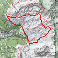
- Wegverlauf
-
Chandolin (1.920 m)0,0 kmTsalè Nou0,7 kmCabane de l'Illhorn0,7 kmPlan des Violettes1,7 kmPlan du Cornier2,5 kmPas de l'Illsee (2.545 m)2,8 kmZornayégva3,0 kmLa Tsât5,0 kmTignousa (2.182 m)8,0 kmLes Fénis10,7 kmSaint-Luc (1.655 m)12,0 kmLes Boûss15,8 kmLes Tisses16,7 kmChandolin (1.920 m)16,7 km
- Beste Jahreszeit
-
sijveljožutrasvilipsrpkolrujlisstupro
- Höchster Punkt
- 2.541 m
- Zielpunkt
-
St-Luc
- Höhenprofil
-
 © outdooractive.com


- Autor
-
Die Tour Trail St-Luc/Chandolin wird von outdooractive.com bereitgestellt.
GPS Downloads


Opće informacije
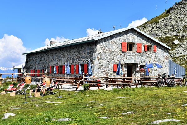
Einkehrmöglichkeit
Geheimtipp
Flora
Fauna
Aussichtsreich
Weitere Touren in den Regionen
-
Oberwallis
121
-
Sierre Anniviers
48
-
St-Luc / Chandolin
25