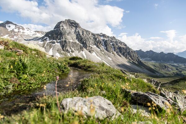
© AlpsInsight - PatitucciPhoto
© AlpsInsight - PatitucciPhoto
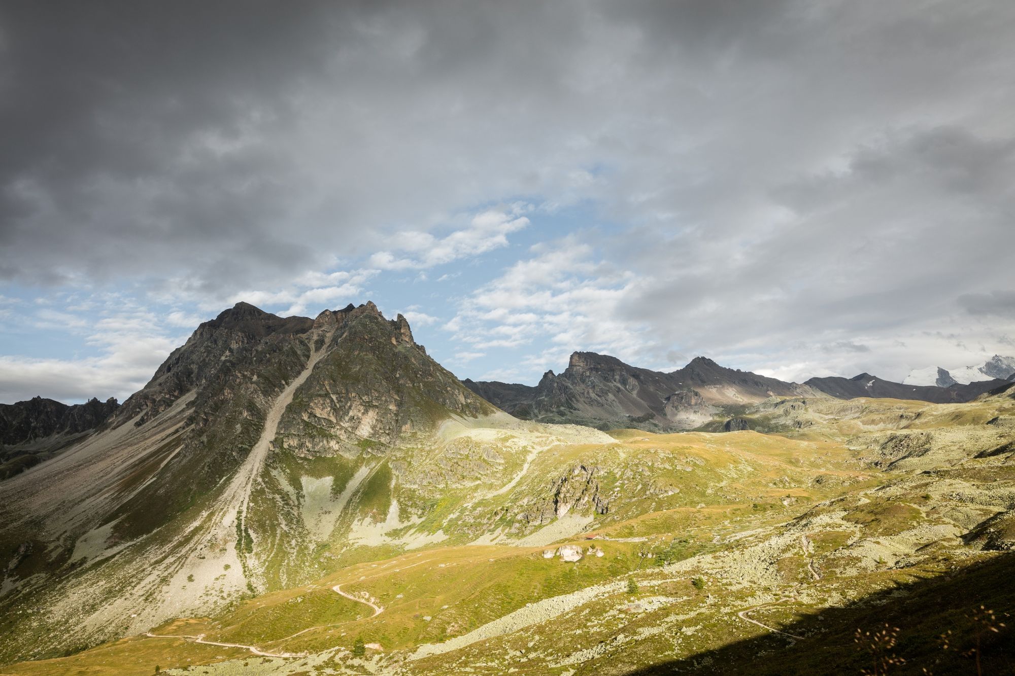
© Valais/Wallis Promotion - Pascal Gertschen

- Kratak opis
-
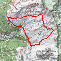
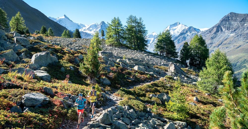
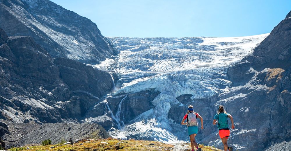
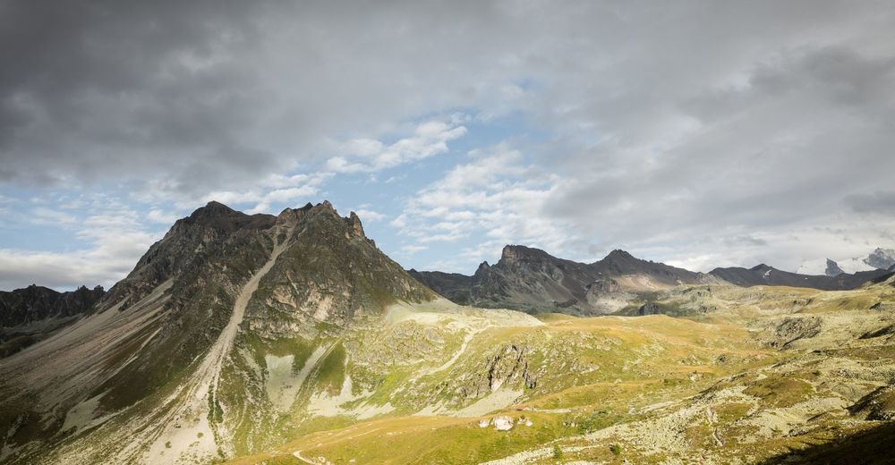
Change your "hellos" into "Tagwohls" as you cross the border between French and German-speaking Switzerland on this sixth, 19-kilometre, uphill leg.
- Teškoća
-
srednje
- Vrednovanje
-
- Wegverlauf
-
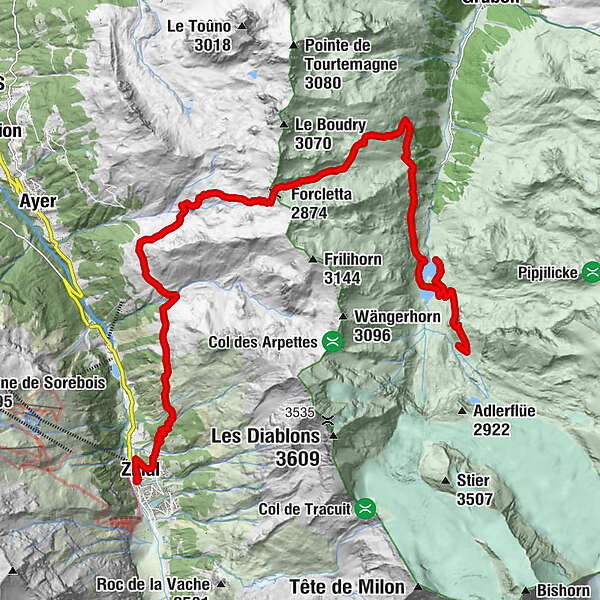
Zinal (1.675 m)0,2 kmPralonzet1,0 kmFurggilti (2.874 m)10,0 kmTurtmannhütte SAC21,7 kmBrunnen21,7 km
- Beste Jahreszeit
-
sijveljožutrasvilipsrpkolrujlisstupro
- Höchster Punkt
- 2.866 m
- Zielpunkt
-
Turtmann Hut
- Höhenprofil
-
 © outdooractive.com


- Autor
-
Die Tour Via Valais Zinal - Turtmann Hut (Stage 6) wird von outdooractive.com bereitgestellt.
GPS Downloads


Opće informacije
Kulturell/Historisch
Geheimtipp
Flora
Fauna
Aussichtsreich
Weitere Touren in den Regionen
-
Oberwallis
121
-
Sierre Anniviers
48
-
Zinal
21