

© Brig Simplon Tourismus AG - Silvio Burgener

© Brig Simplon Tourismus AG - Empfang Brig Simplon Tourismus

© Brig Simplon Tourismus AG - Silvio Burgener

© Brig Simplon Tourismus AG - Silvio Burgener

© Brig Simplon Tourismus AG - Empfang Brig Simplon Tourismus

© Brig Simplon Tourismus AG - Empfang Brig Simplon Tourismus

© Brig Simplon Tourismus AG - Empfang Brig Simplon Tourismus

© Brig Simplon Tourismus AG - Empfang Brig Simplon Tourismus

© Brig Simplon Tourismus AG - Empfang Brig Simplon Tourismus

© Brig Simplon Tourismus AG - Empfang Brig Simplon Tourismus


- Kratak opis
-
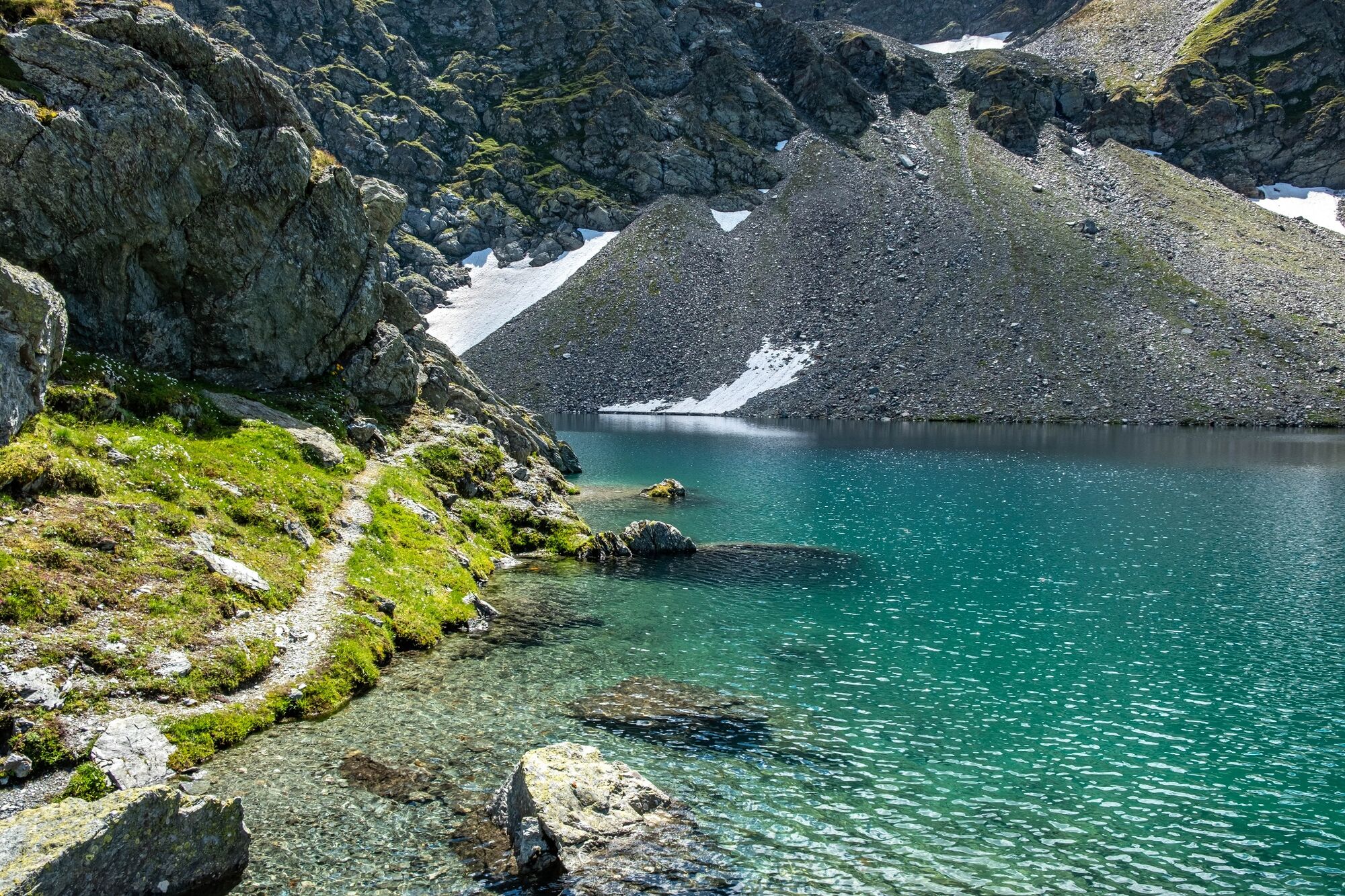
A very varied hike to the Alps at the foot of the Mountain Fletschhorn and it offers an unforgettable overview of the entire Simplon Valley.
- Teškoća
-
srednje
- Vrednovanje
-
- Wegverlauf
-
EngilochWyssbodehorn (2.623 m)4,2 kmEgga9,6 kmSimplon Dorf (1.476 m)11,2 km
- Beste Jahreszeit
-
sijveljožutrasvilipsrpkolrujlisstupro
- Höchster Punkt
- 2.605 m
- Zielpunkt
-
Simplon Dorf, Post
- Höhenprofil
-
 © outdooractive.com


-

-
AutorDie Tour Simplon-Sirwoltusee-Weg wird von outdooractive.com bereitgestellt.
GPS Downloads


Opće informacije
Einkehrmöglichkeit
Kulturell/Historisch
Flora
Fauna
Aussichtsreich
Weitere Touren in den Regionen
-
Aletsch Arena
1471
-
Saastal
485
-
Simplon
138


