© Lötschental Tourismus - Sandra Stockinger

© Lötschental Tourismus - Sandra Stockinger

© Lötschental Tourismus - Sandra Stockinger

© Lötschental Tourismus - Sandra Stockinger

© Lötschental Tourismus - Sandra Stockinger

© Lötschental Tourismus - Sandra Stockinger

© Lötschental Tourismus - Sandra Stockinger

© Lötschental Tourismus - Sandra Stockinger

© Lötschental Tourismus - Sandra Stockinger

© Lötschental Tourismus - Sandra Stockinger

- Kratak opis
-
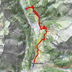
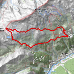
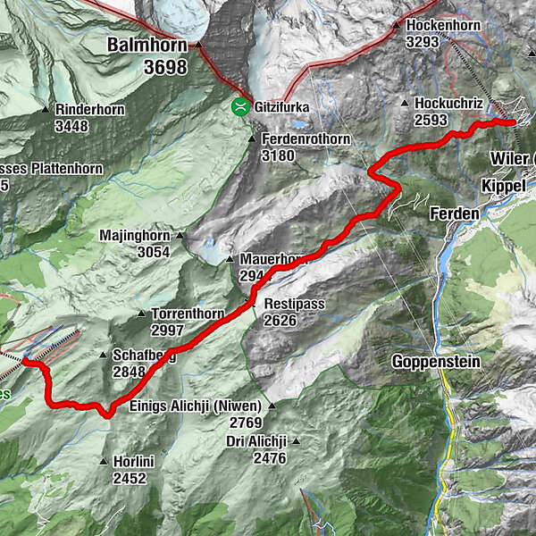
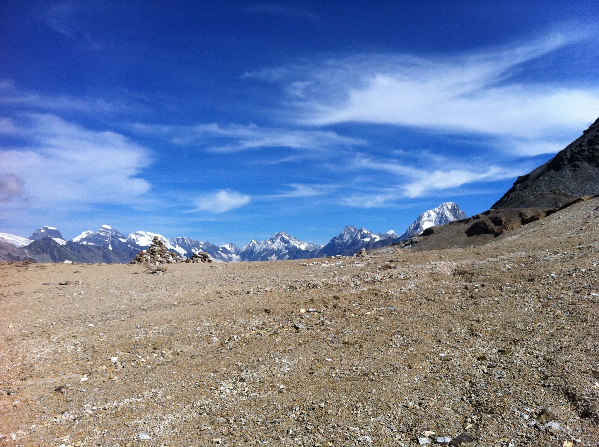
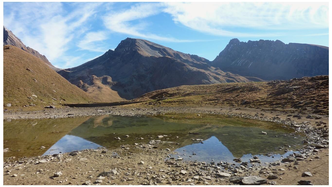
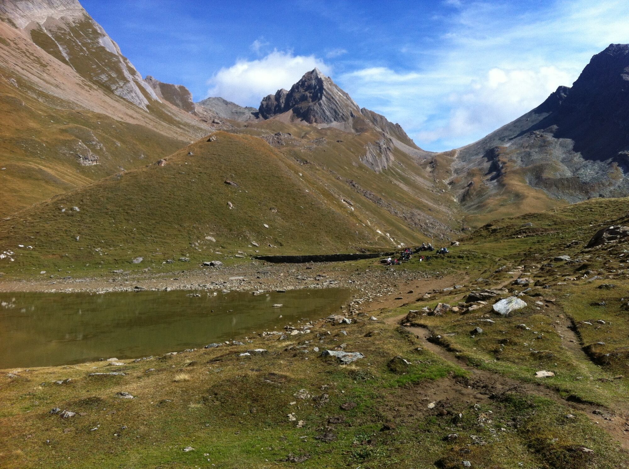
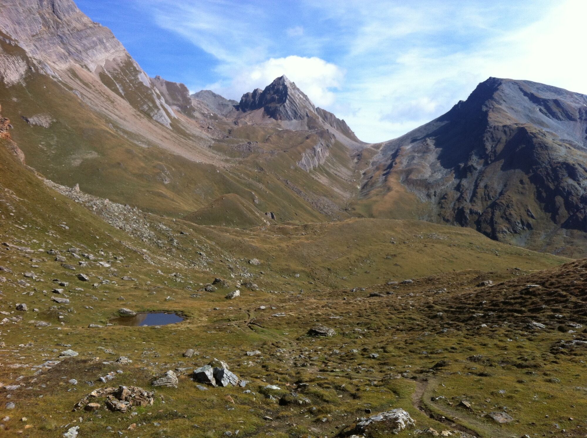
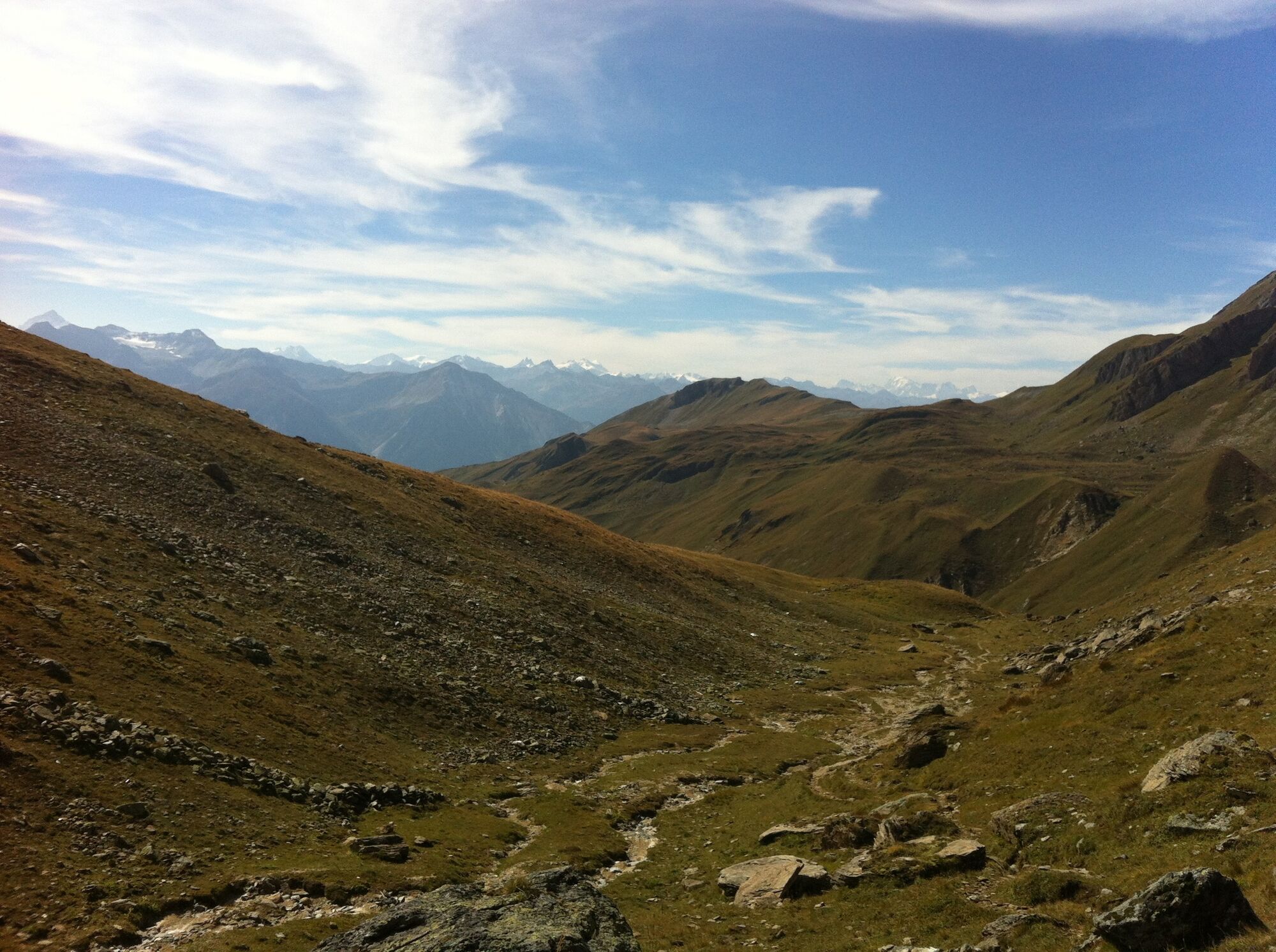
Fantastic hike from Lauchernalp over the Restialp and the Restipass to the Rinderhütte station (Leukerbad)
- Teškoća
-
srednje
- Vrednovanje
-
- Wegverlauf
-
ZudiliGasthaus Kummenalp3,0 kmTrockenalp3,9 kmRestialp4,7 kmRestipass (2.626 m)8,2 km
- Beste Jahreszeit
-
sijveljožutrasvilipsrpkolrujlisstupro
- Höchster Punkt
- 2.625 m
- Zielpunkt
-
Bergstation Rinderhütte, Leukerbad
- Höhenprofil
-
 © outdooractive.com


- Autor
-
Die Tour Lauchernalp - Restipass - Rinderhütte (Leukerbad) wird von outdooractive.com bereitgestellt.
GPS Downloads


Opće informacije
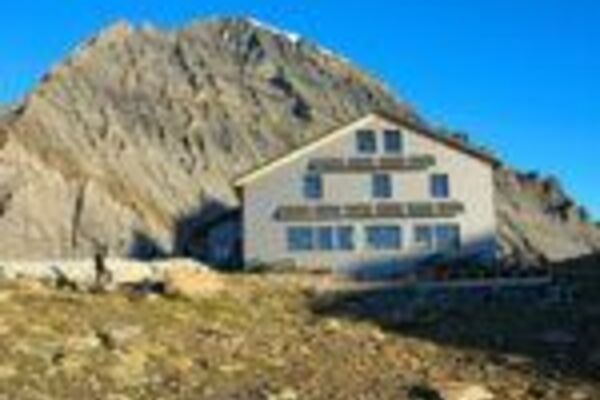
Einkehrmöglichkeit
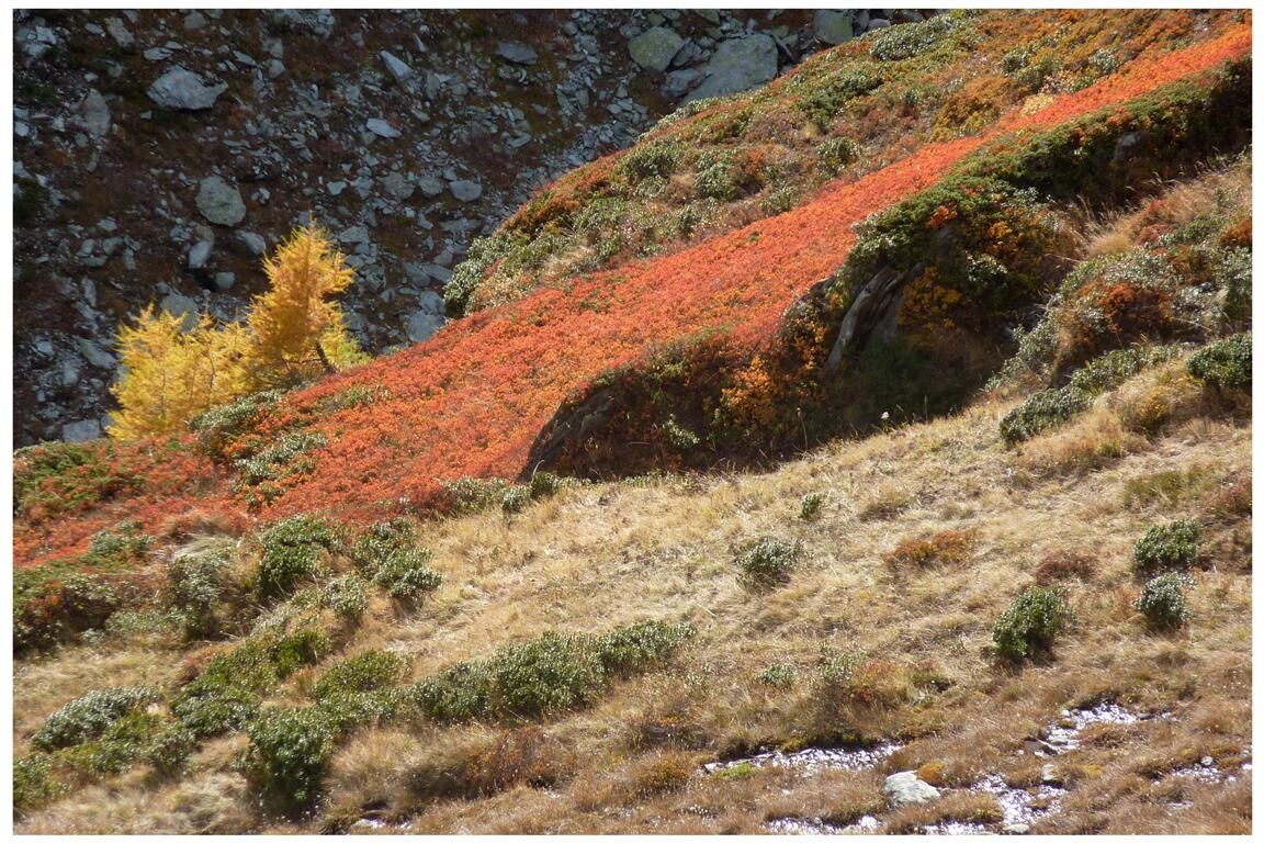
Flora
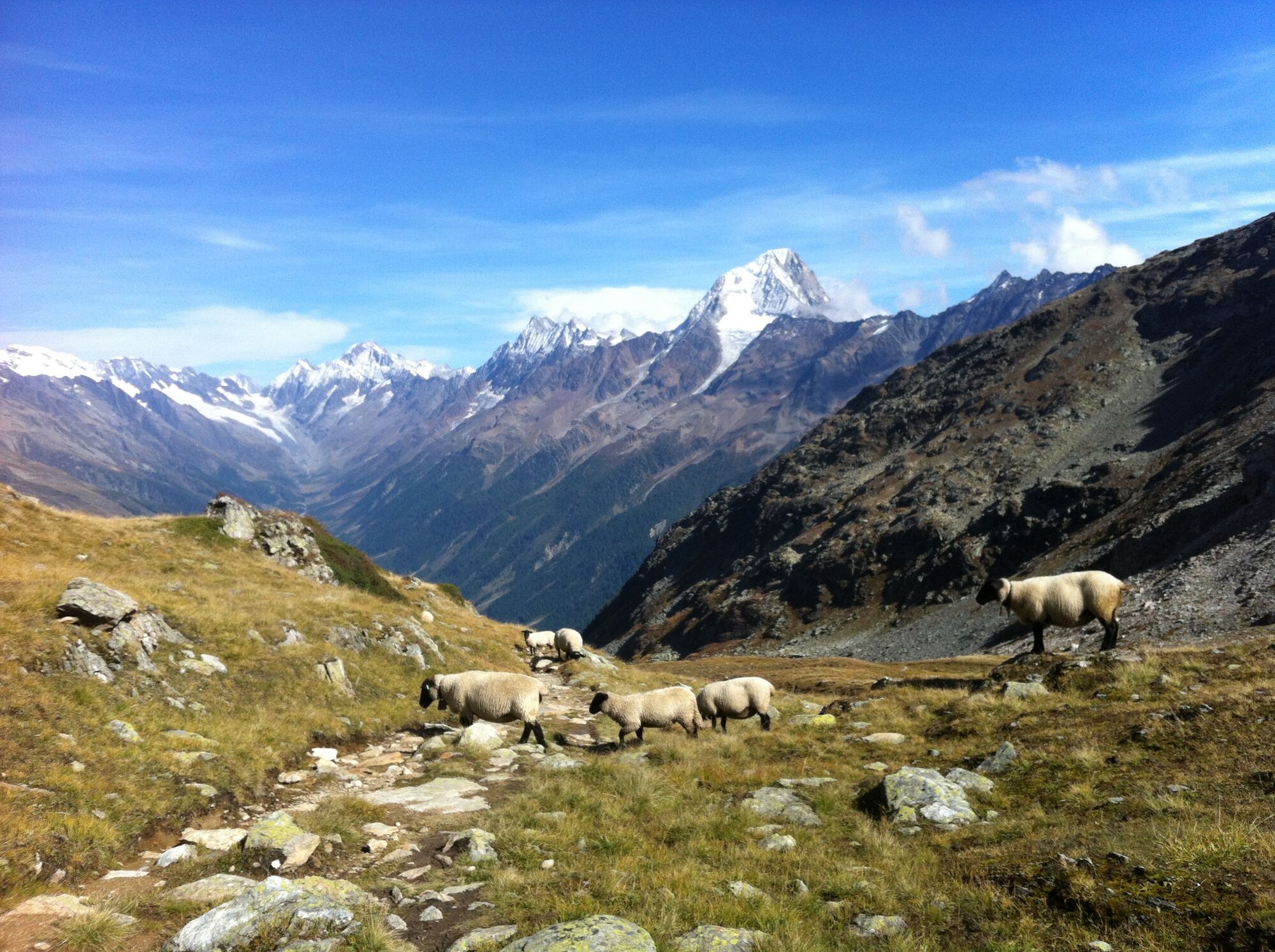
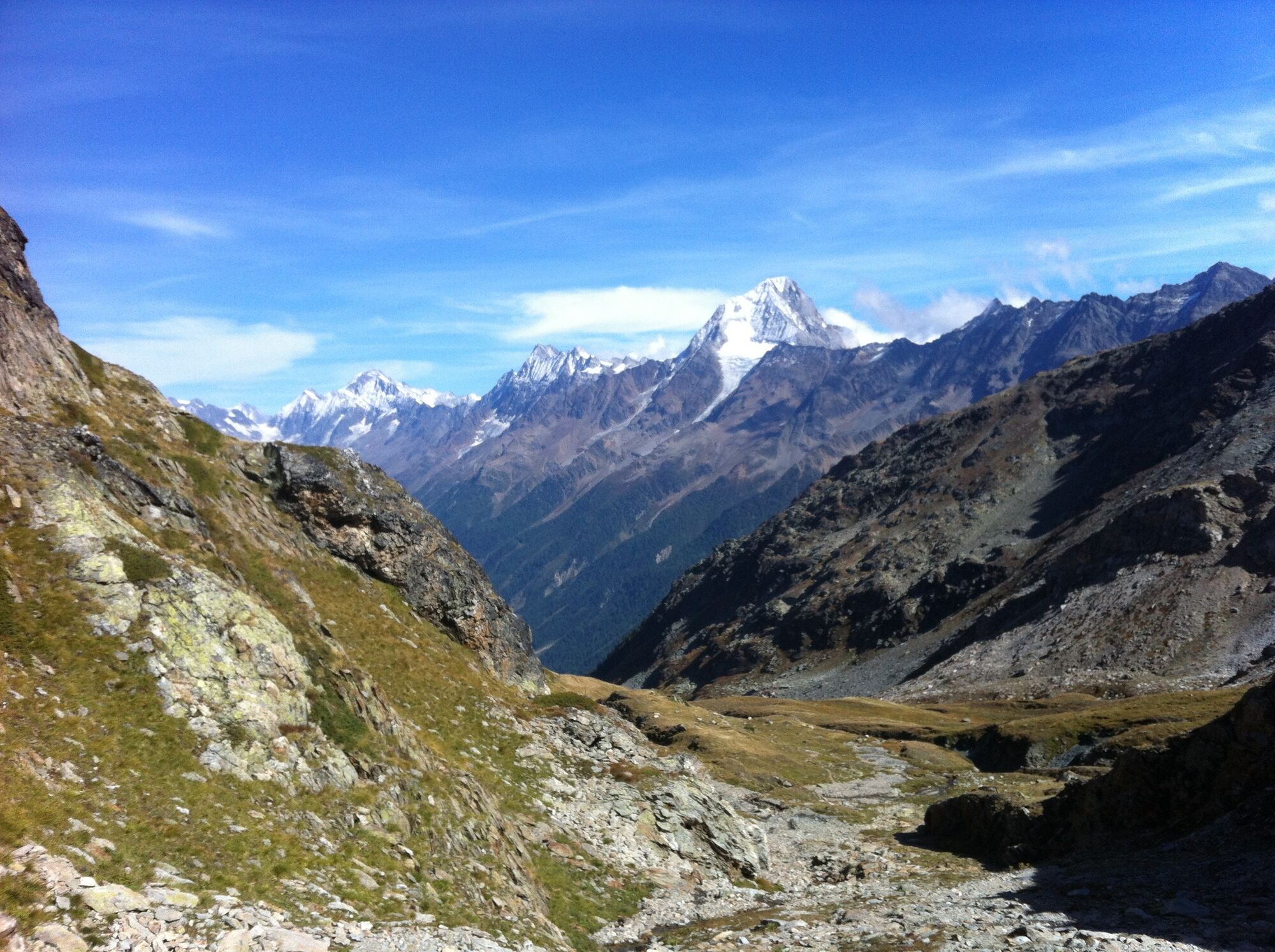
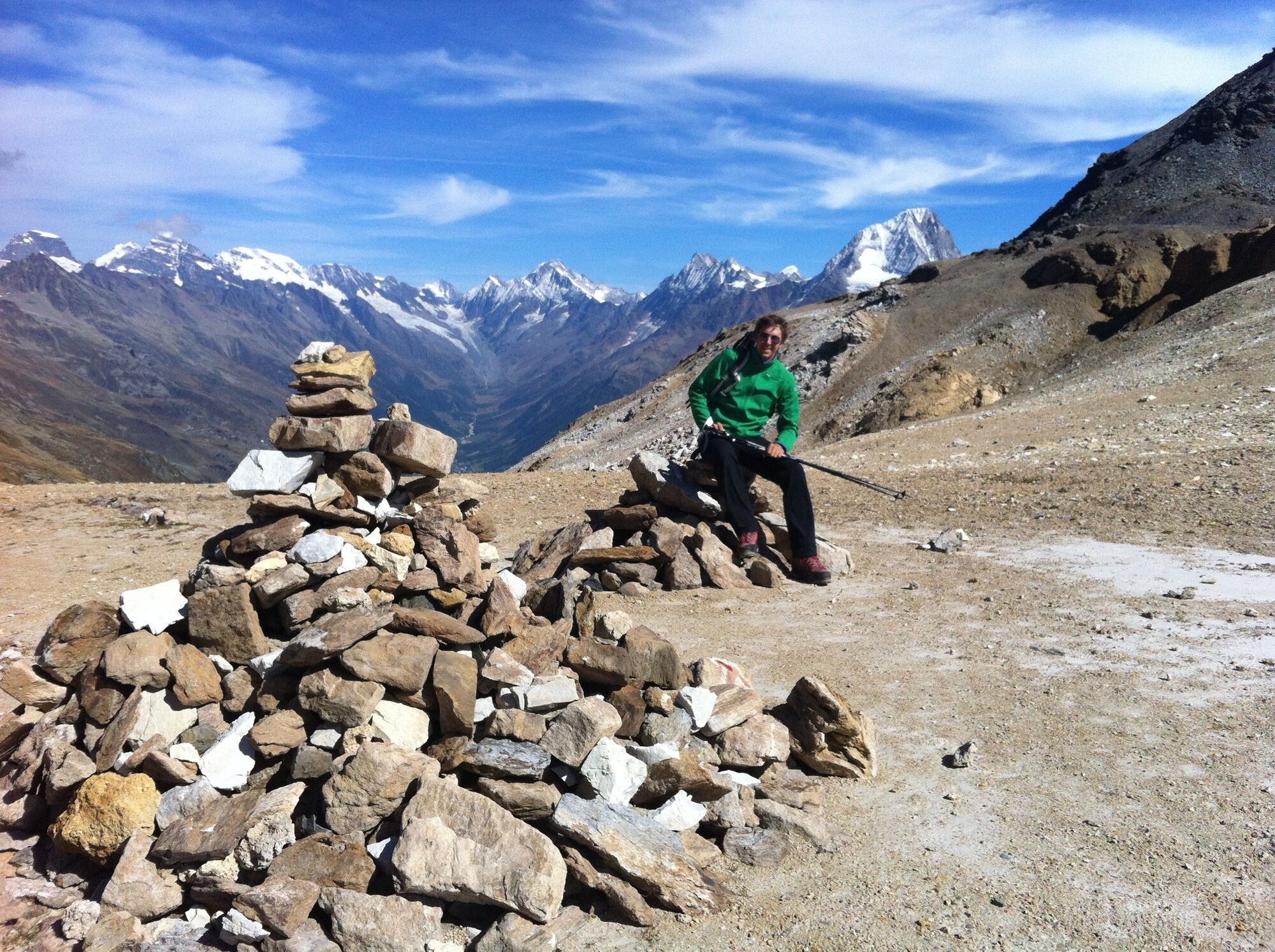
Aussichtsreich
Weitere Touren in den Regionen
-
Oberwallis
1873
-
Lötschental
1066
-
Ferden
199