© Martigny Tourisme
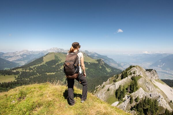
© Martigny Tourisme
© Martigny Tourisme

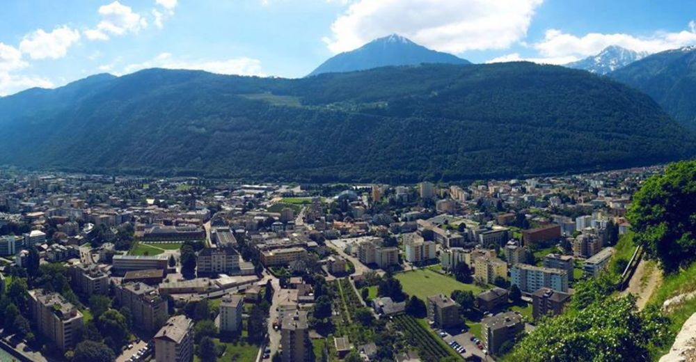
© Martigny Tourisme
© Martigny Tourisme


- Kratak opis
-
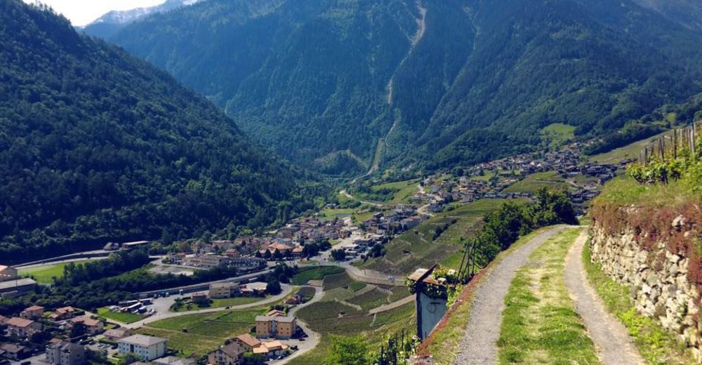
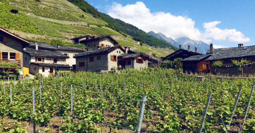
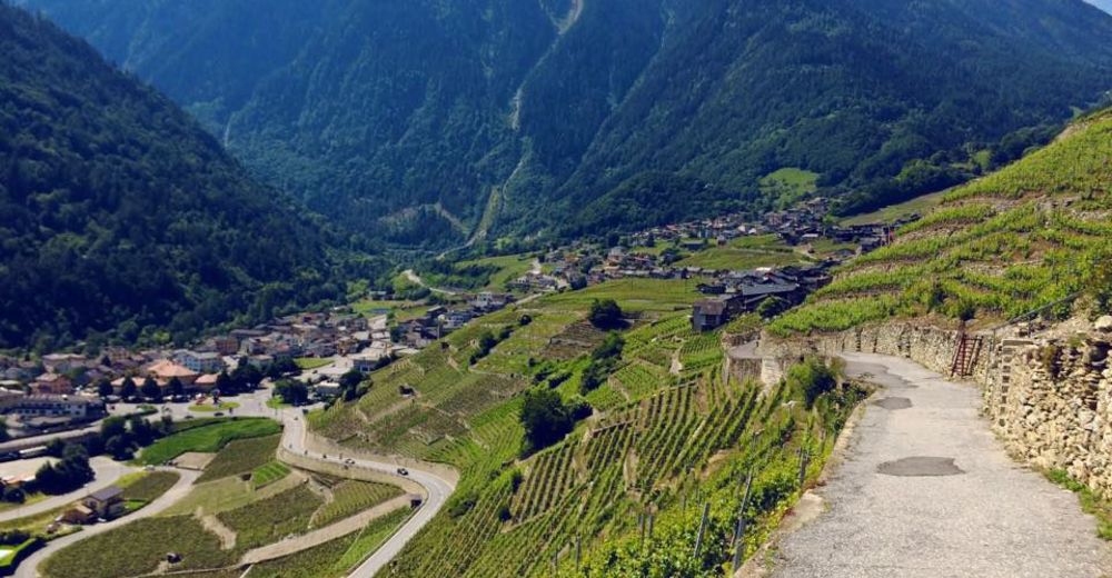
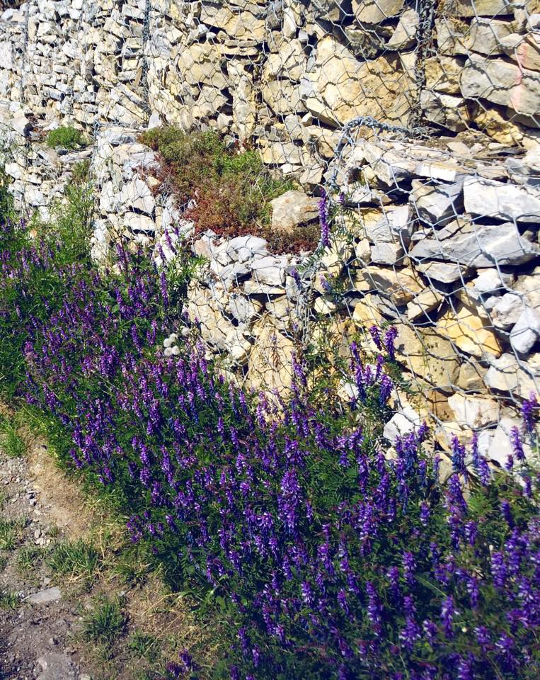
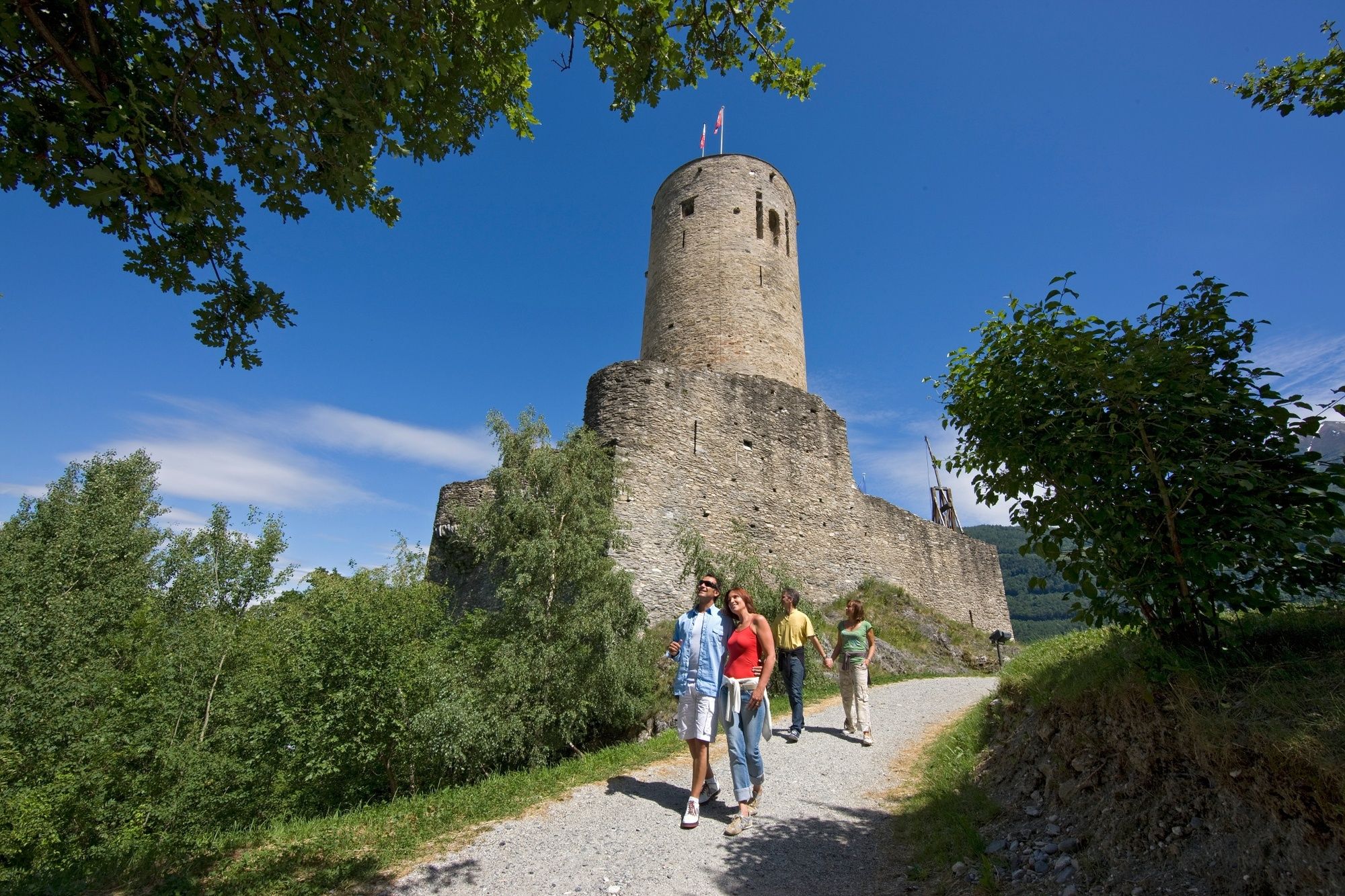
A loop through the terraced vineyards above Martigny, taking in the medieval castle and the pretty winemaking village of Plan Cerisier. Thrilling views of Martigny and the Rhône valley.
- Teškoća
-
lagano
- Vrednovanje
-
- Wegverlauf
-
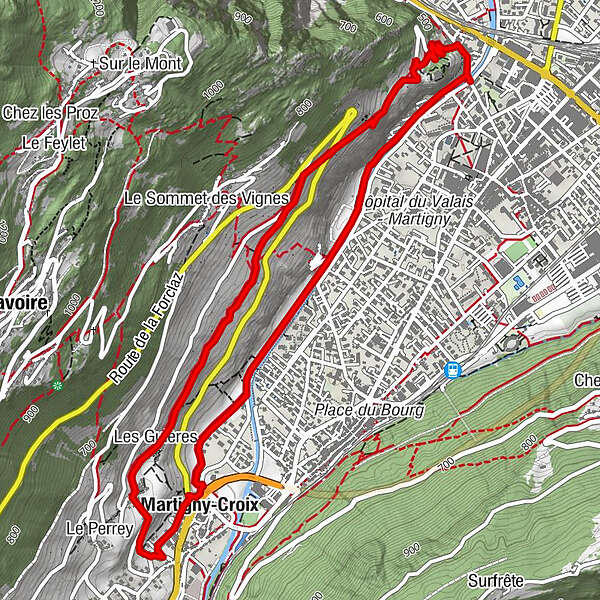
MartignyLes Guières2,9 kmPlan-Cerisier3,1 kmLa Crette3,2 kmLe Perrey3,4 kmMartigny-Croix3,5 kmMartigny-Croix3,9 km
- Beste Jahreszeit
-
sijveljožutrasvilipsrpkolrujlisstupro
- Höchster Punkt
- 656 m
- Zielpunkt
-
Bridge Pont de la Bâtiaz
- Höhenprofil
-
 © outdooractive.com


-

-
AutorDie Tour Terraced Vineyards Trail around Martigny wird von outdooractive.com bereitgestellt.
GPS Downloads


Opće informacije
Einkehrmöglichkeit
Kulturell/Historisch
Flora
Aussichtsreich
Weitere Touren in den Regionen
-
Alpes Vaudoises
997
-
Trient-Tal / Wallis
498
-
Martigny
104