

© Valais/Wallis Promotion - David Carlier
© Tourenplaner SCHWEIZ - Jochen Ihle
© Community - Delia Inniger

© Community - Delia Inniger

- Kratak opis
-
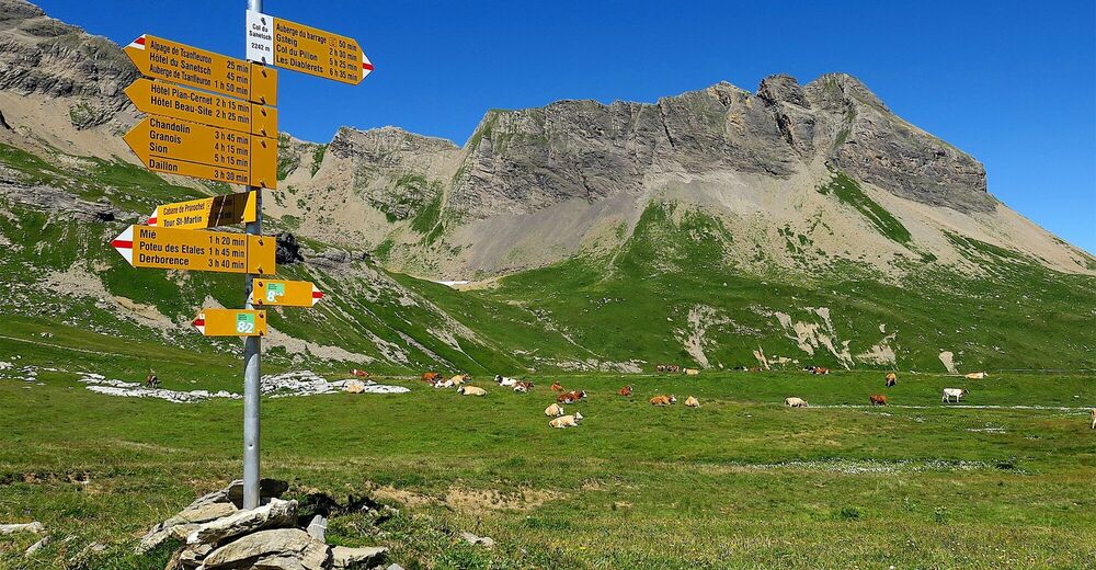
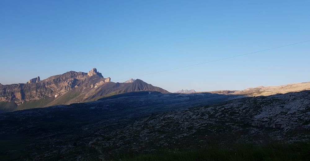
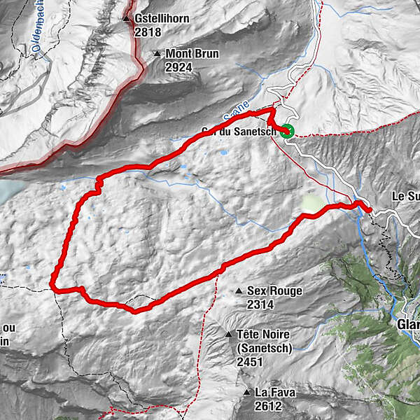
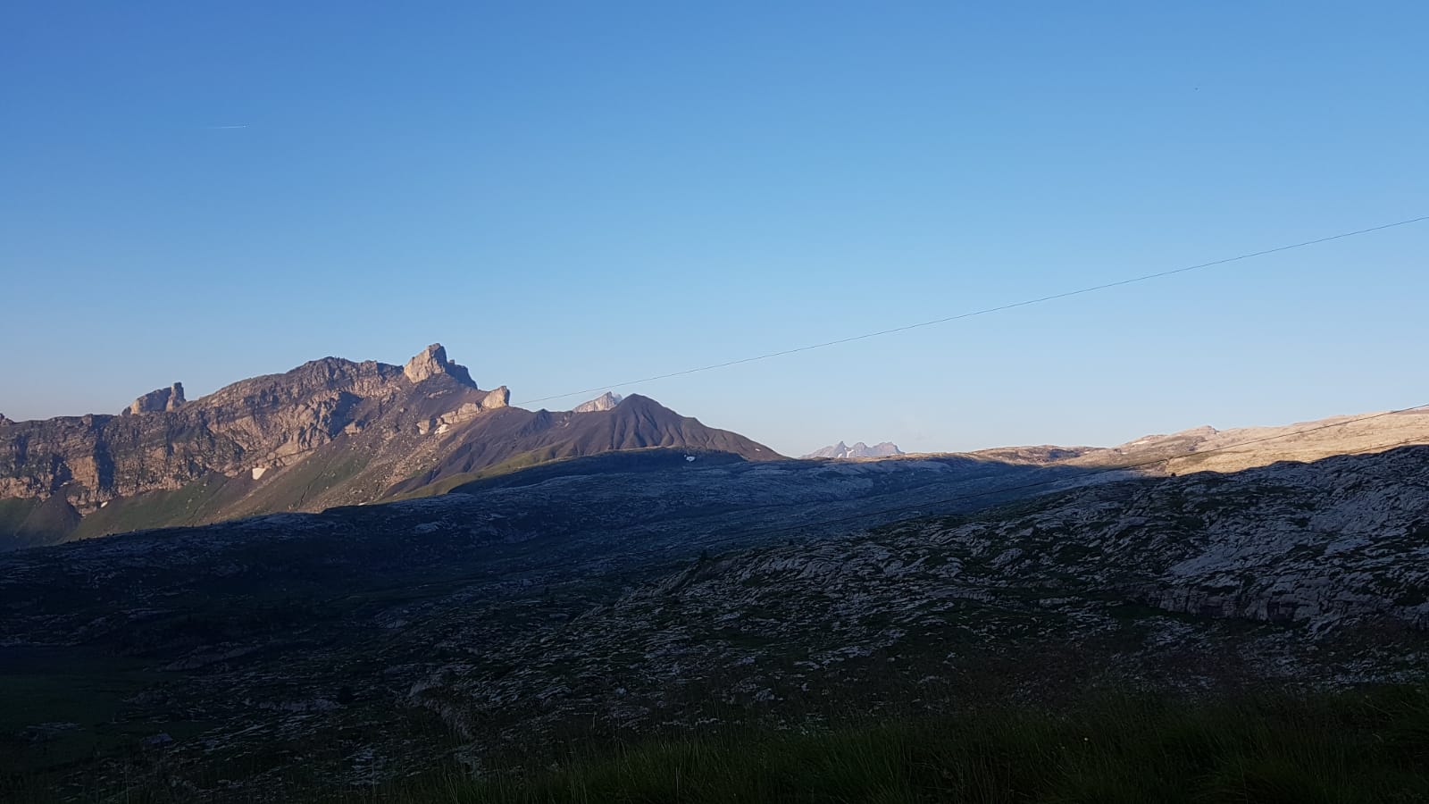
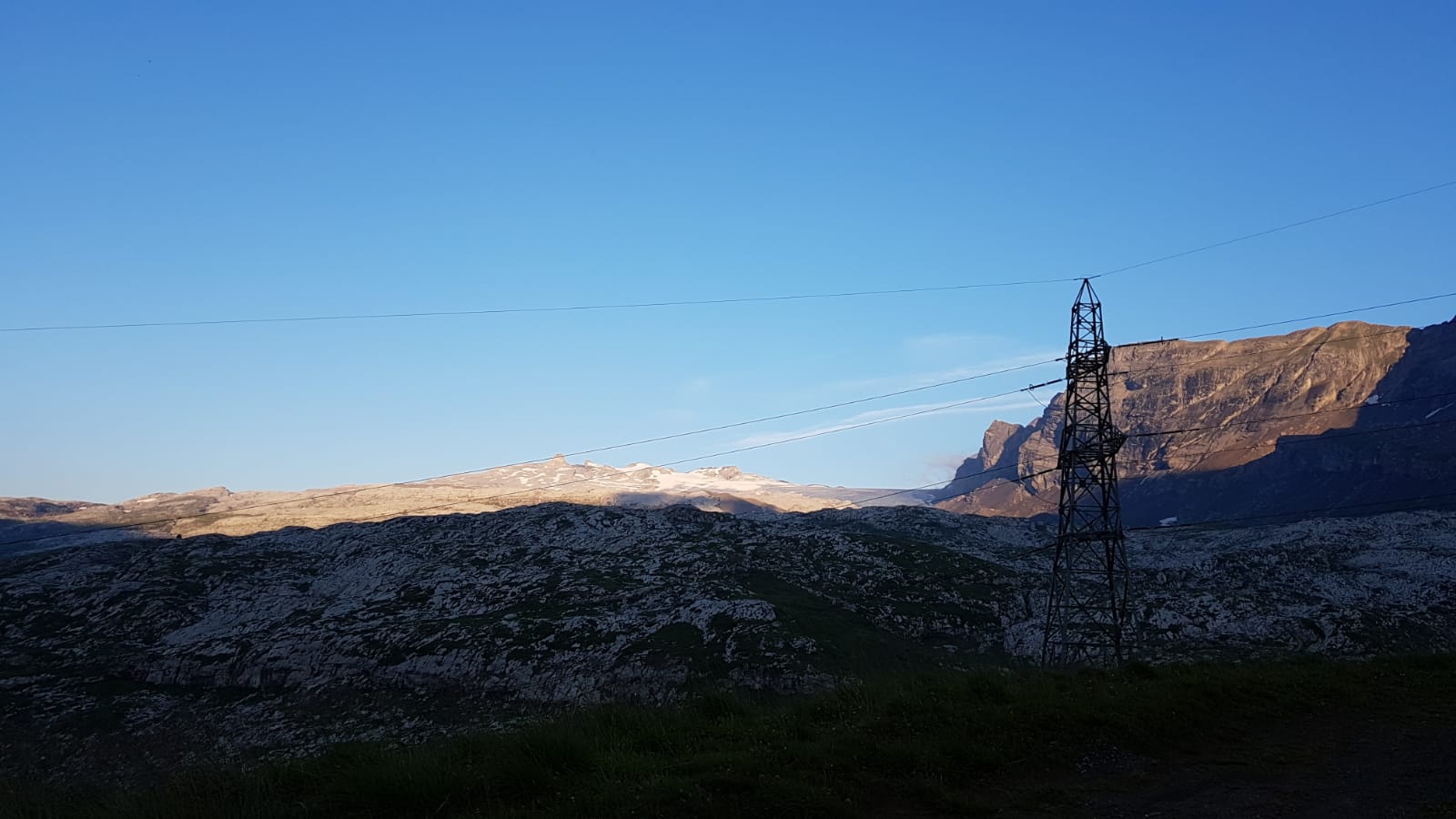
High-altitude hike from the Col du Sanetsch (2,252 m) across an other-worldly landscape of sculpted rock formations below the Tsanfleuron Glacier. Refreshment stop at the Cabane de Prarochet.
- Teškoća
-
teška
- Vrednovanje
-
- Wegverlauf
-
Col du Sanetsch (2.252 m)9,6 km
- Beste Jahreszeit
-
sijveljožutrasvilipsrpkolrujlisstupro
- Höchster Punkt
- 2.547 m
- Zielpunkt
-
Col du Sanetsch
- Höhenprofil
-
 © outdooractive.com

-

-
AutorDie Tour Tour des lapiaz de Zanfleuron wird von outdooractive.com bereitgestellt.
GPS Downloads


Opće informacije
Einkehrmöglichkeit
Geheimtipp
Fauna
Aussichtsreich
Weitere Touren in den Regionen
-
Thyon les Collons
1436
-
Coteaux du Soleil
609
-
Gsteig bei Gstaad
170


