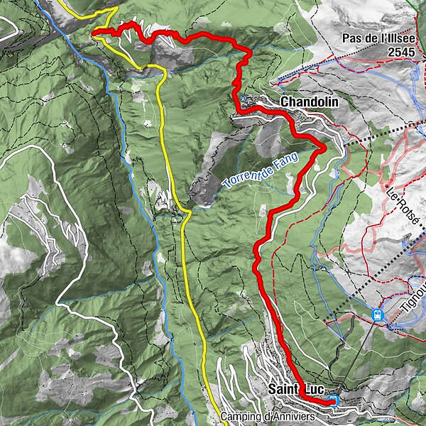
Tour of the Val d’Anniviers: Pontis - Chandolin - St-Luc (stage 1)


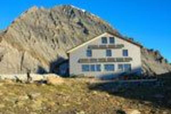
© Valais/Wallis Promotion - Pascal Gertschen

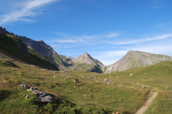
© Valais/Wallis Promotion - Pascal Gertschen

© Unbekannt

- Kratak opis
-
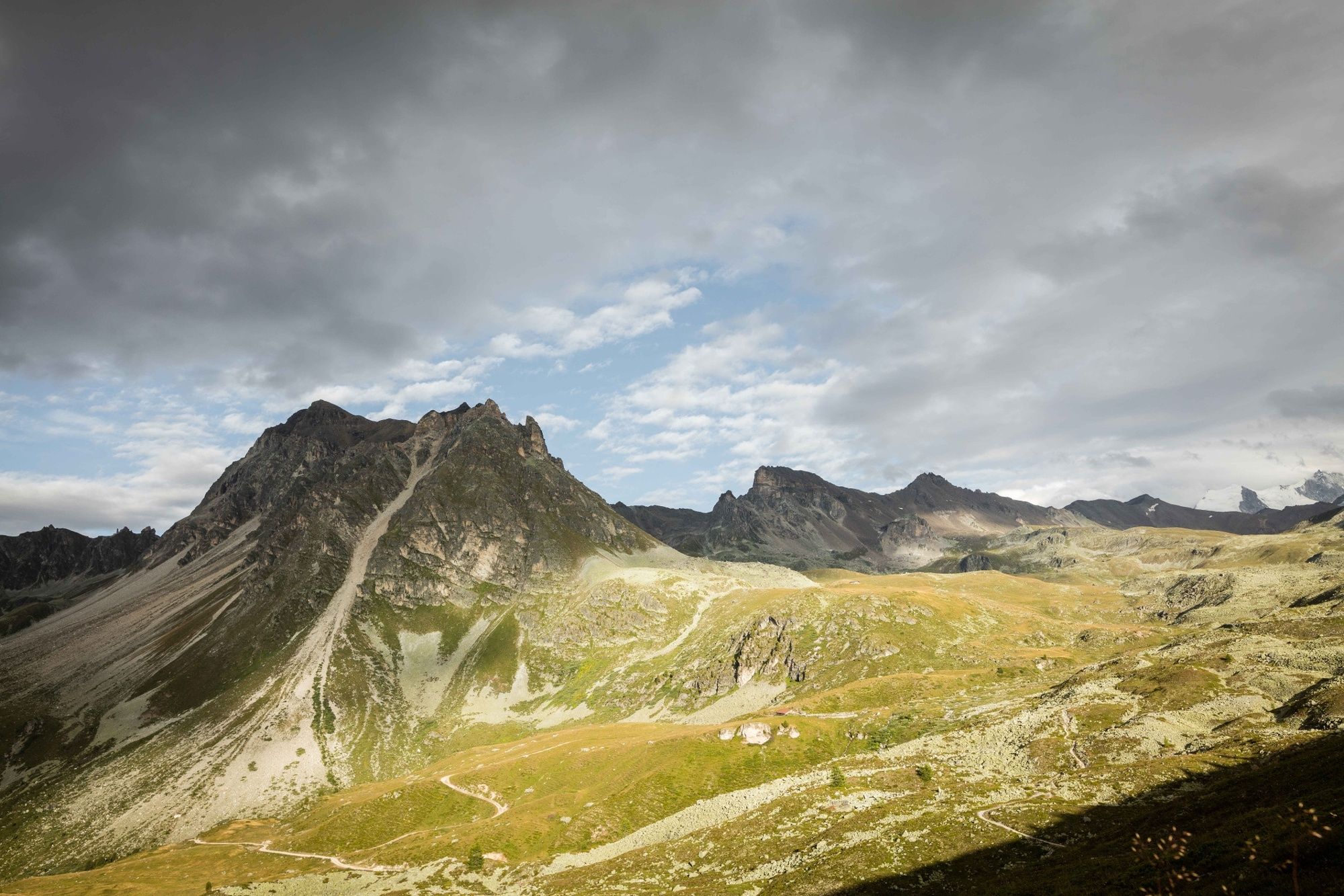
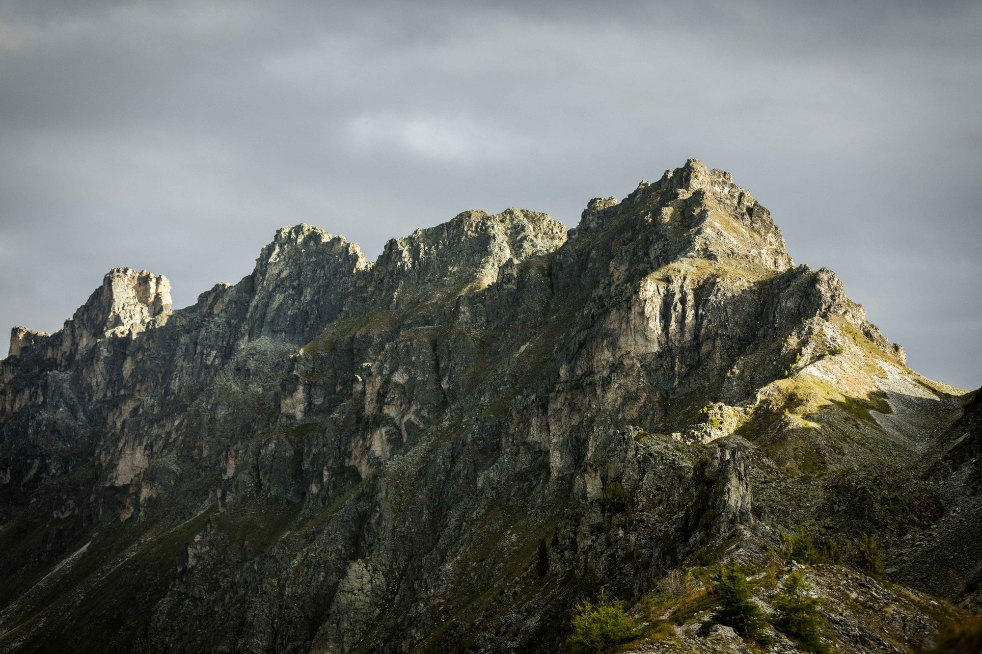
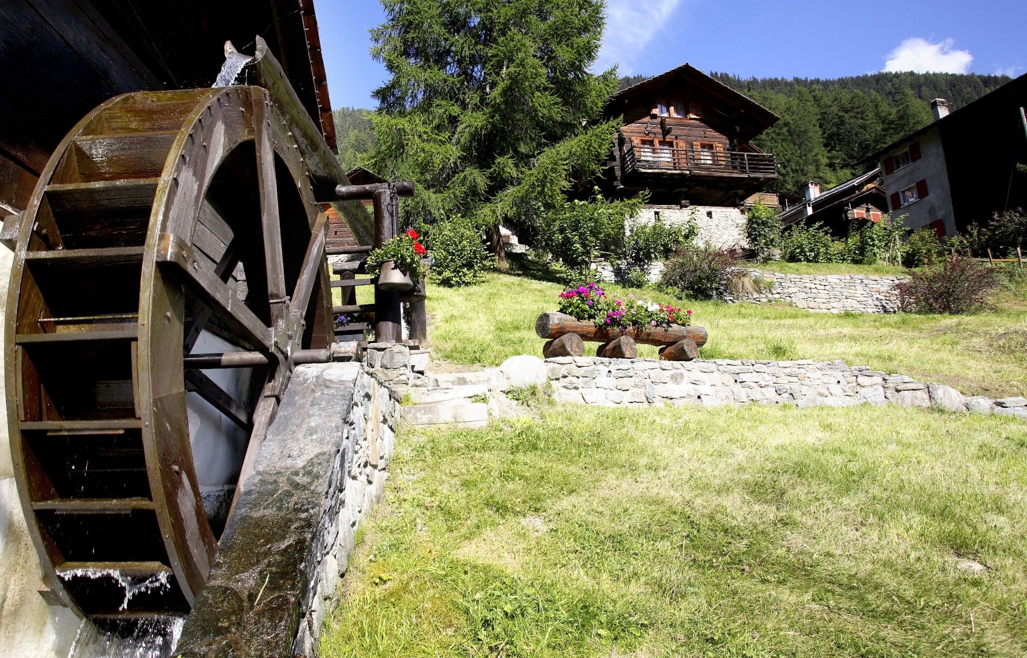
Panoramic hike high above the Val d’Anniviers through an idyllic hamlet and two of the valley’s most charming villages.
- Teškoća
-
srednje
- Vrednovanje
-
- Wegverlauf
-
Soussillon1,5 kmLes Ponss2,9 kmAux 20004,2 kmChandolin (1.920 m)4,5 kmLes Tisses4,6 kmLe Fougzètt6,6 kmSaint-Luc (1.655 m)8,9 kmSt-Luc (1.684 m)9,3 km
- Beste Jahreszeit
-
sijveljožutrasvilipsrpkolrujlisstupro
- Höchster Punkt
- 1.917 m
- Zielpunkt
-
St-Luc (or Chandolin)
- Höhenprofil
-
 © outdooractive.com
-

-
AutorDie Tour Tour of the Val d’Anniviers: Pontis - Chandolin - St-Luc (stage 1) wird von outdooractive.com bereitgestellt.
GPS Downloads


Opće informacije
Einkehrmöglichkeit
Kulturell/Historisch
Flora
Fauna
Aussichtsreich
Weitere Touren in den Regionen
-
Oberwallis
1873
-
Sierre Anniviers
782
-
St-Luc / Chandolin
333