
© Evolène Région
© Evolène Région
© Novomonde


- Kratak opis
-
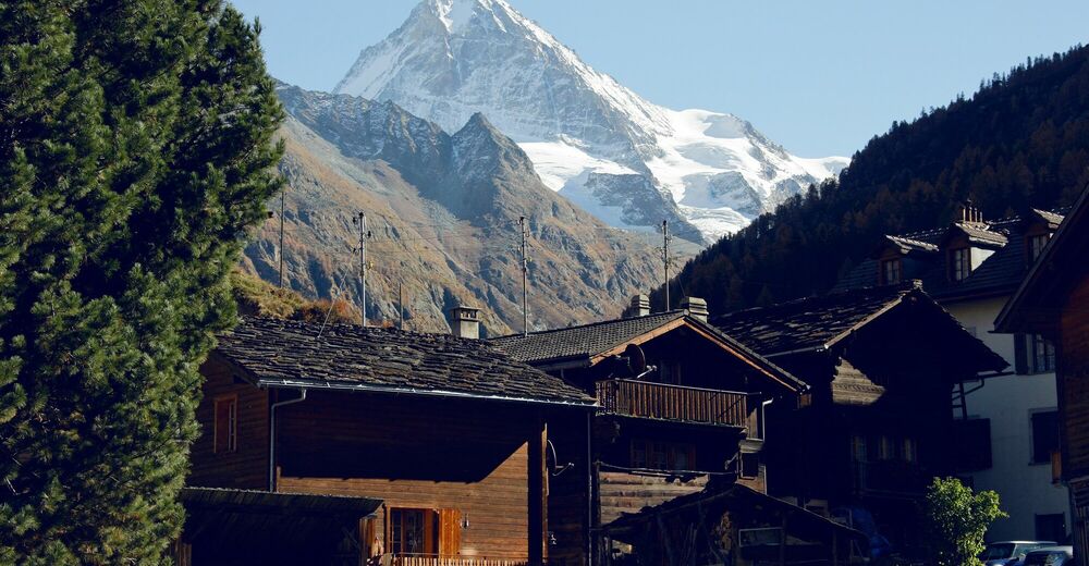
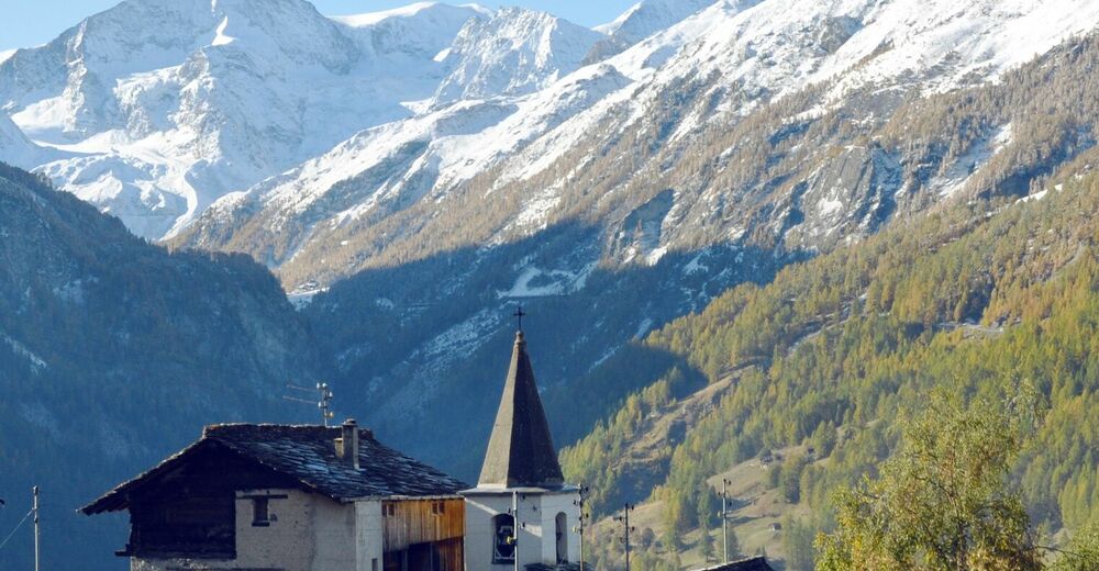
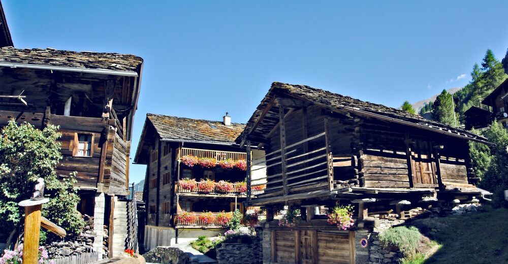
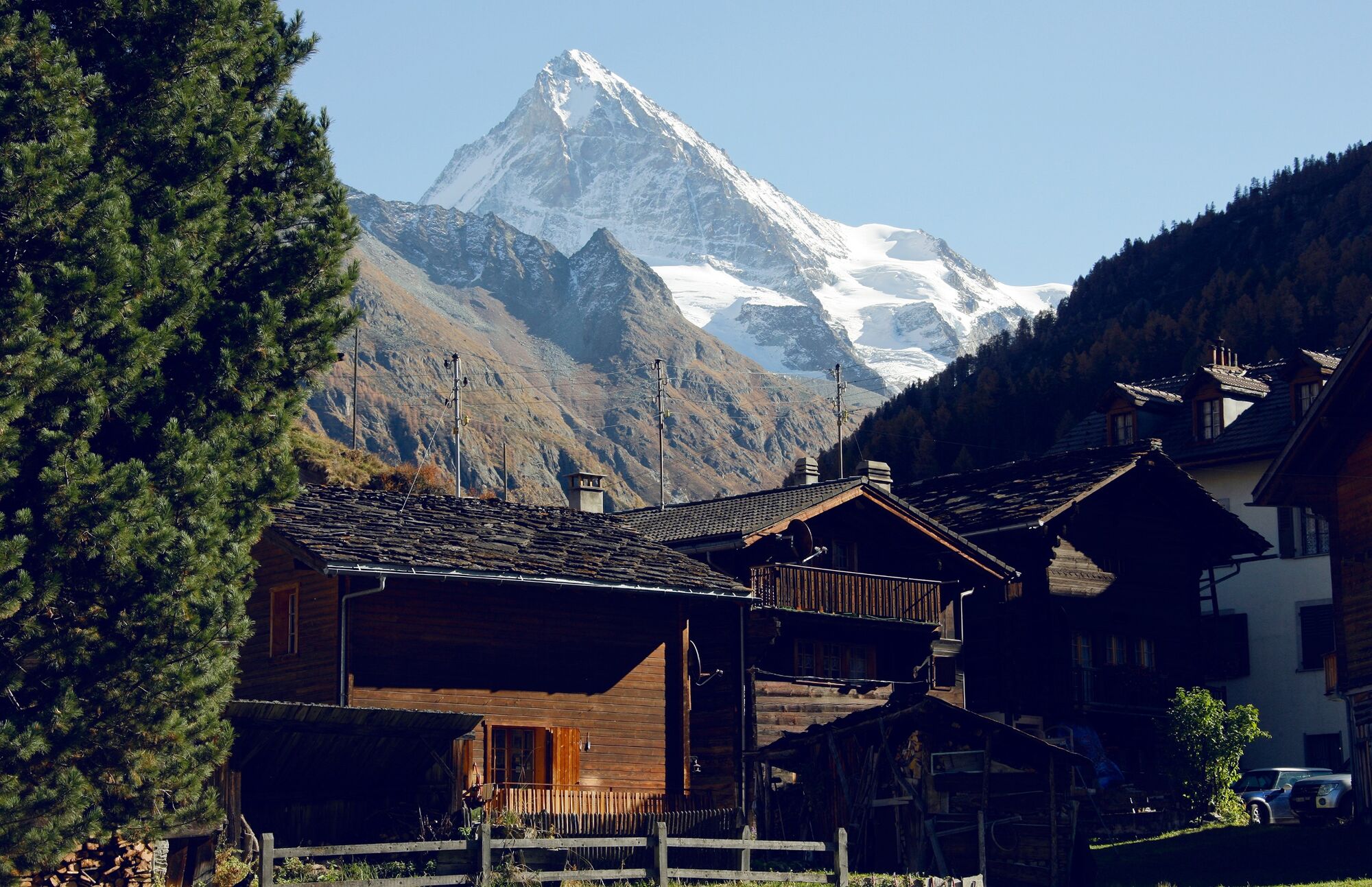
Tour of the historical villages of the upper Val d’Hérens. Beautifully preserved, they bear witness to traditional life in the Valais mountains.
- Teškoća
-
lagano
- Vrednovanje
-
- Wegverlauf
-
Evolène (1.371 m)0,6 kmBevernec2,8 kmLa Laveintse3,3 kmLa Giette4,0 kmLes Haudères (1.454 m)4,5 kmLa Forclaz6,4 kmPlace de Son La Forclaz6,8 kmLes Coulayes7,6 kmPlan de Boë7,7 kmTaillau7,8 kmL'Ecureuil - Café-restaurant et gîte alpin8,1 kmLa Sage8,2 kmVilla (Evolène) (1.742 m)9,3 kmLa Fauchère (1.386 m)10,7 km
- Beste Jahreszeit
-
sijveljožutrasvilipsrpkolrujlisstupro
- Höchster Punkt
- 1.729 m
- Zielpunkt
-
Evolène, village
- Höhenprofil
-
 © outdooractive.com


-

-
AutorDie Tour Chemin des villages d’Evolène wird von outdooractive.com bereitgestellt.
GPS Downloads


Opće informacije
Einkehrmöglichkeit
Kulturell/Historisch
Aussichtsreich
Weitere Touren in den Regionen
-
Unterwallis
1196
-
Evolène
650
-
Arolla
91


")


