

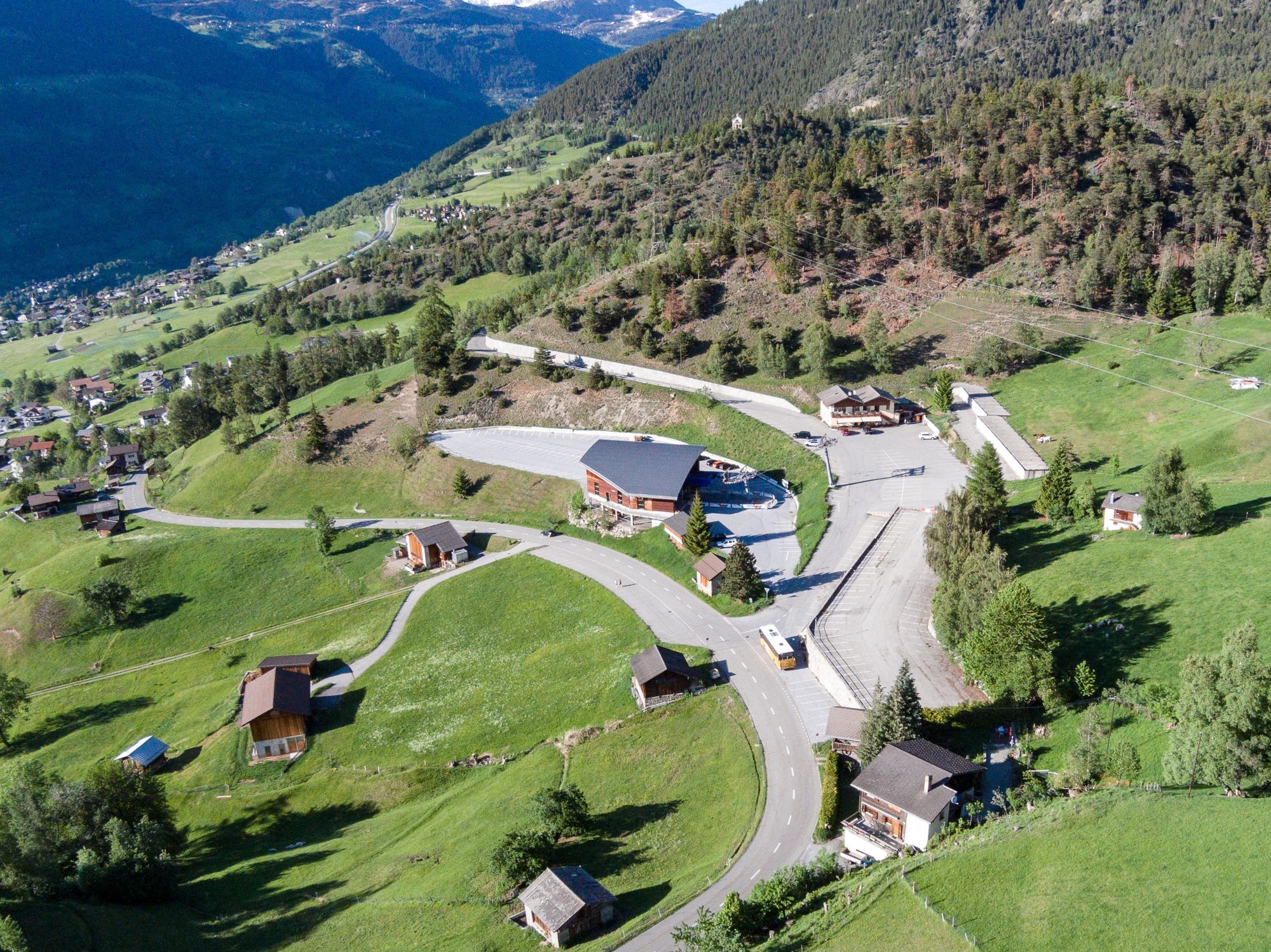
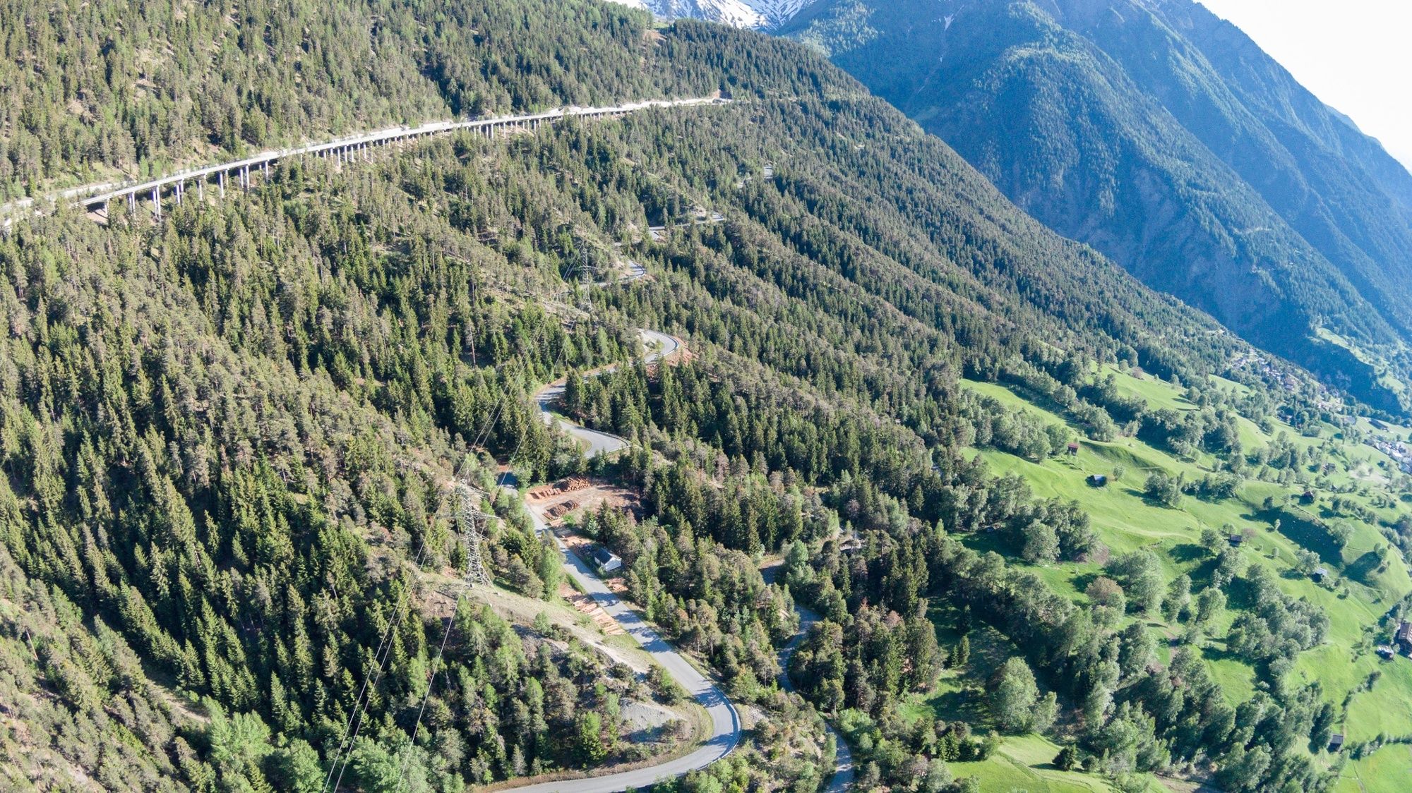
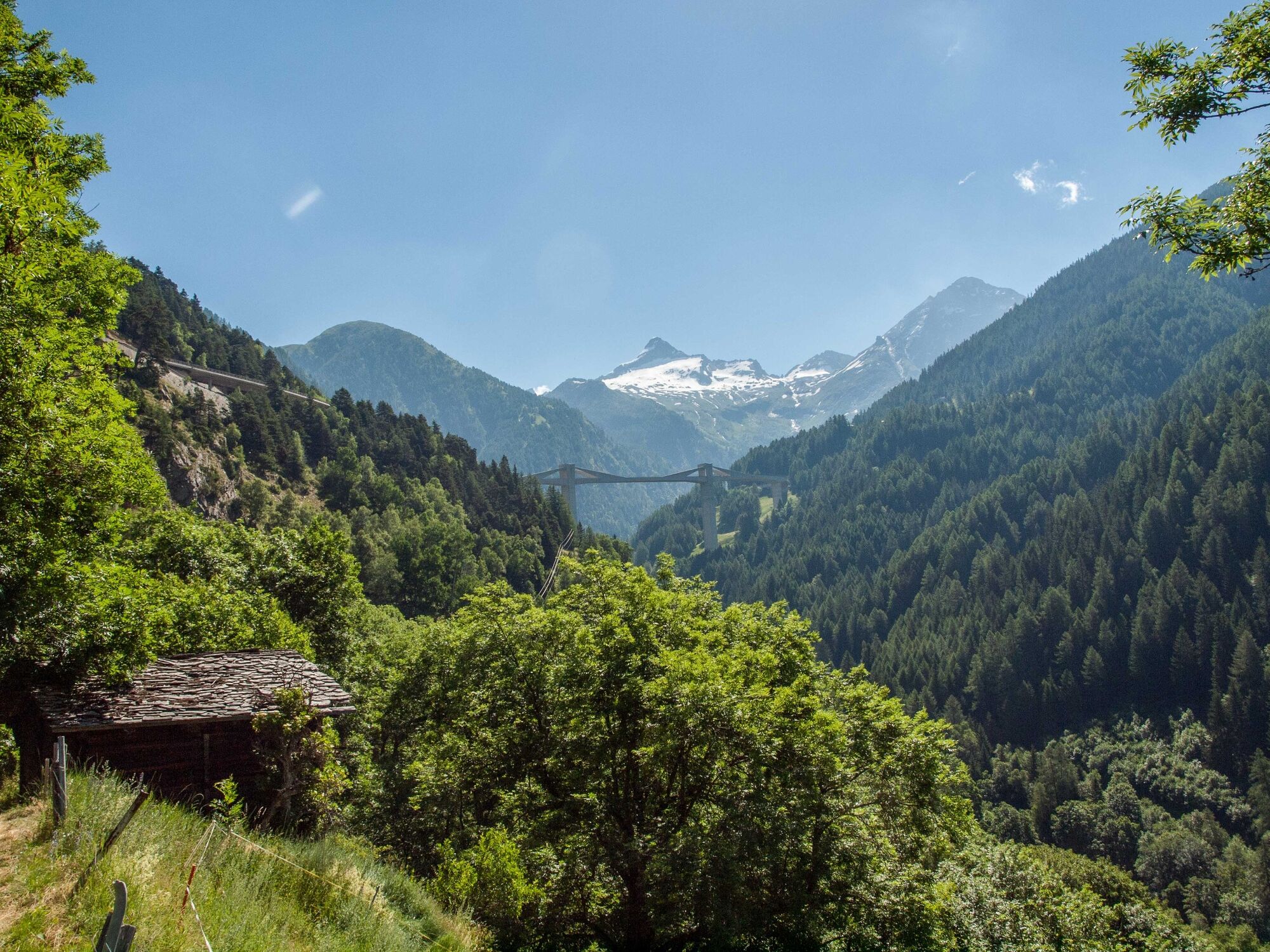
© Brig Simplon Tourismus AG - Silvio Burgener

© Brig Simplon Tourismus AG - Silvio Burgener

© Brig Simplon Tourismus AG - Silvio Burgener

© Brig Simplon Tourismus AG - Silvio Burgener


© Brig Simplon Tourismus AG - Silvio Burgener

- Kratak opis
-
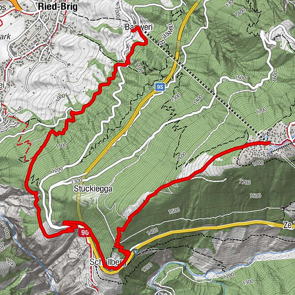
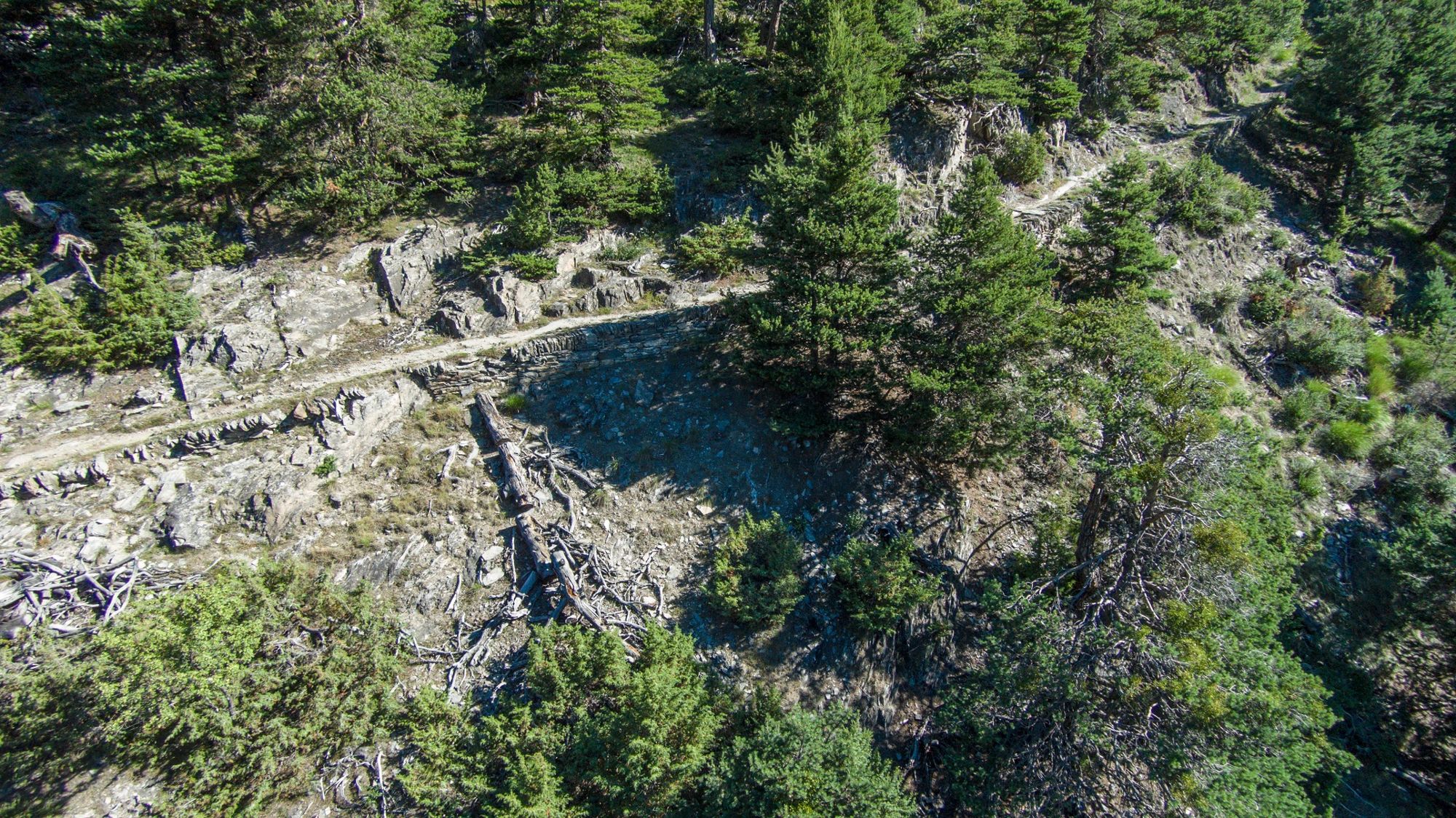
This hiking trail leads more leisurely from the Rosswald to the valley station than the 36er-Weg. Over the sunny back you reach the Resti and the Schallberg.
- Teškoća
-
srednje
- Vrednovanje
-
- Wegverlauf
-
Rosswald (1.819 m)Kapelle Glimmuschiir0,0 kmSchallberg2,4 kmBasweri6,3 km
- Beste Jahreszeit
-
sijveljožutrasvilipsrpkolrujlisstupro
- Höchster Punkt
- 1.819 m
- Zielpunkt
-
Ried-Brig, valley station
- Höhenprofil
-
 © outdooractive.com


-

-
AutorDie Tour Rosswald - Schallberg - Talstation wird von outdooractive.com bereitgestellt.
GPS Downloads


Opće informacije
Einkehrmöglichkeit
Geheimtipp
Aussichtsreich
Weitere Touren in den Regionen
-
Aletsch Arena
1471
-
Brig Simplon
481
-
Ried-Brig
186


