© Outdooractive – 3D Videos


- Kratak opis
-
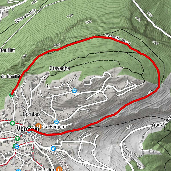
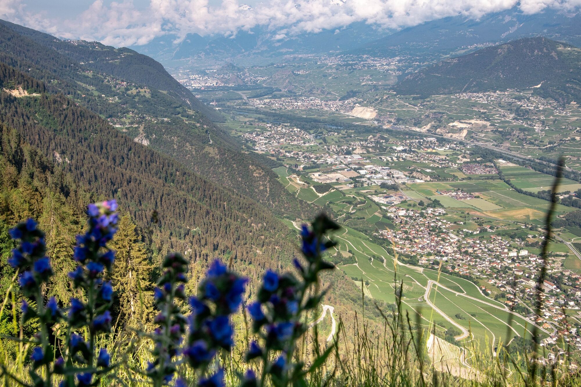
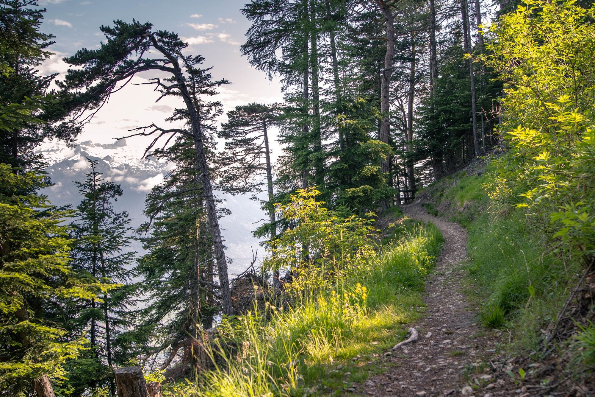
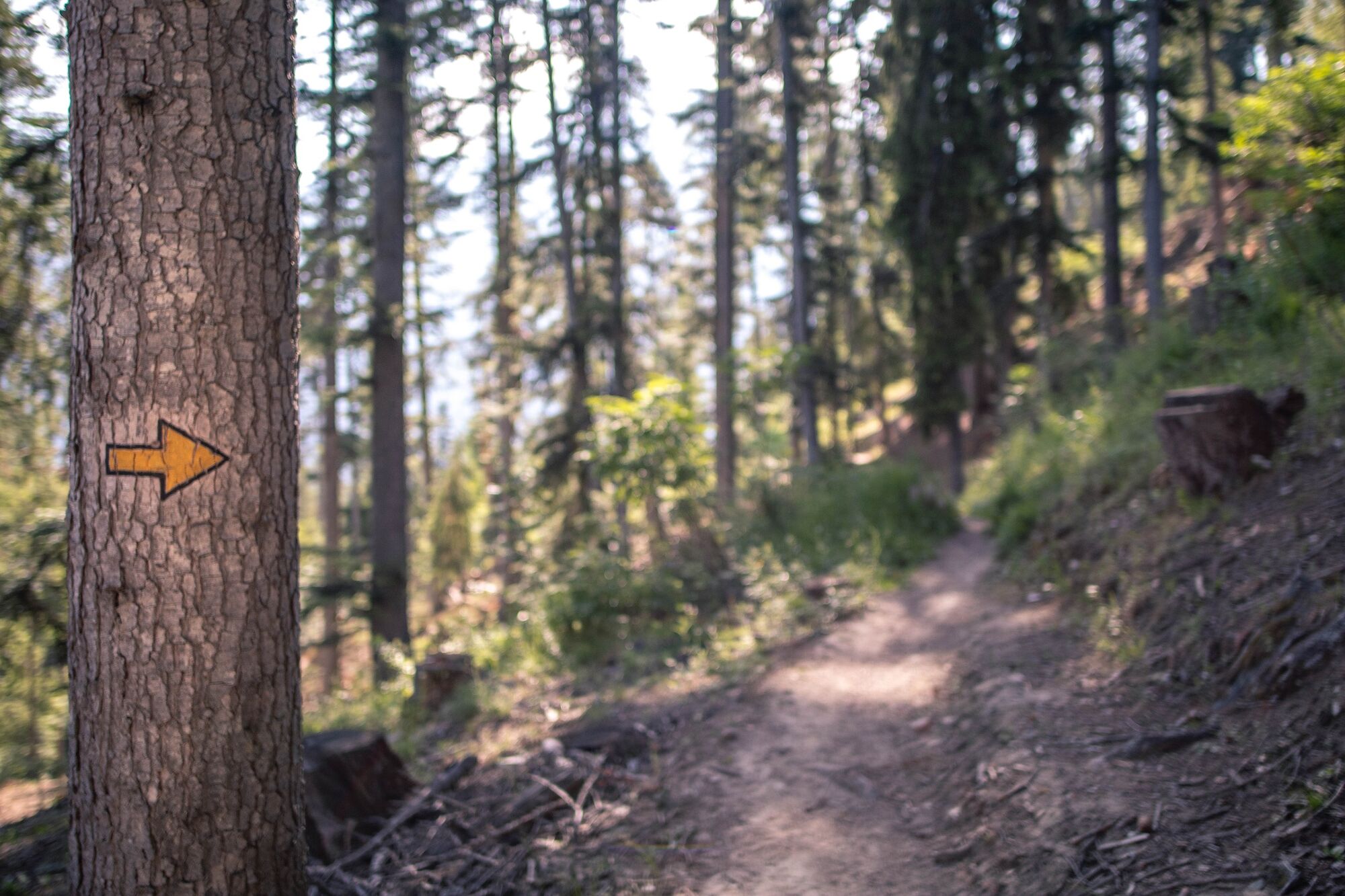
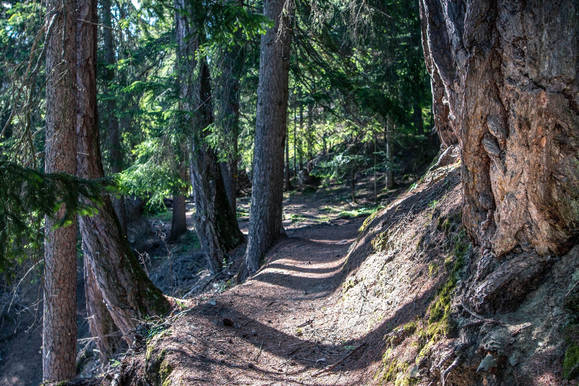
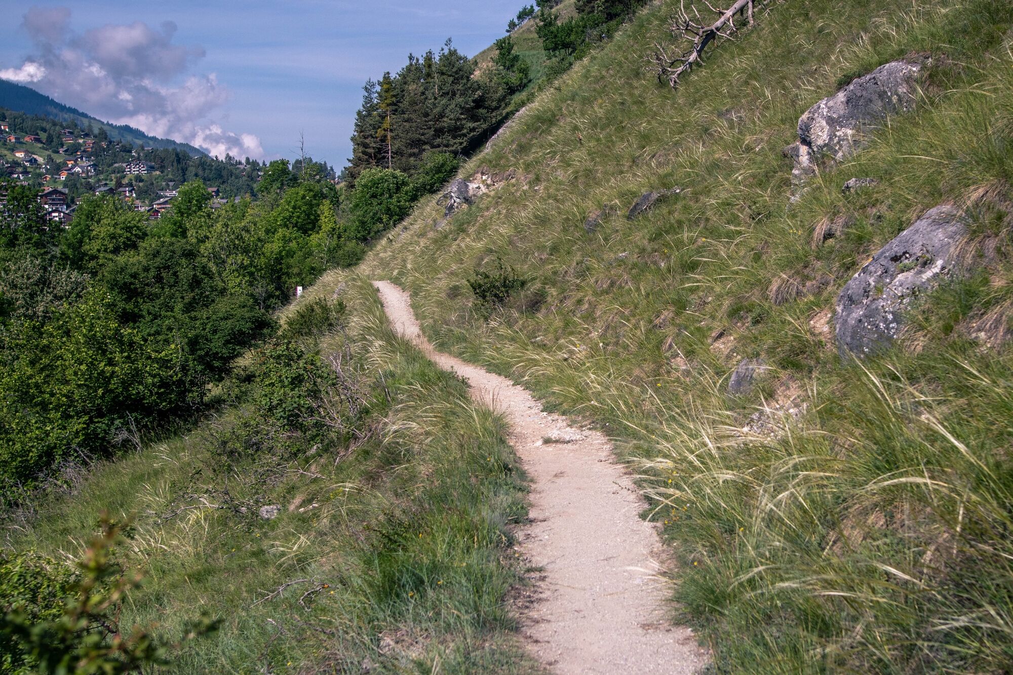
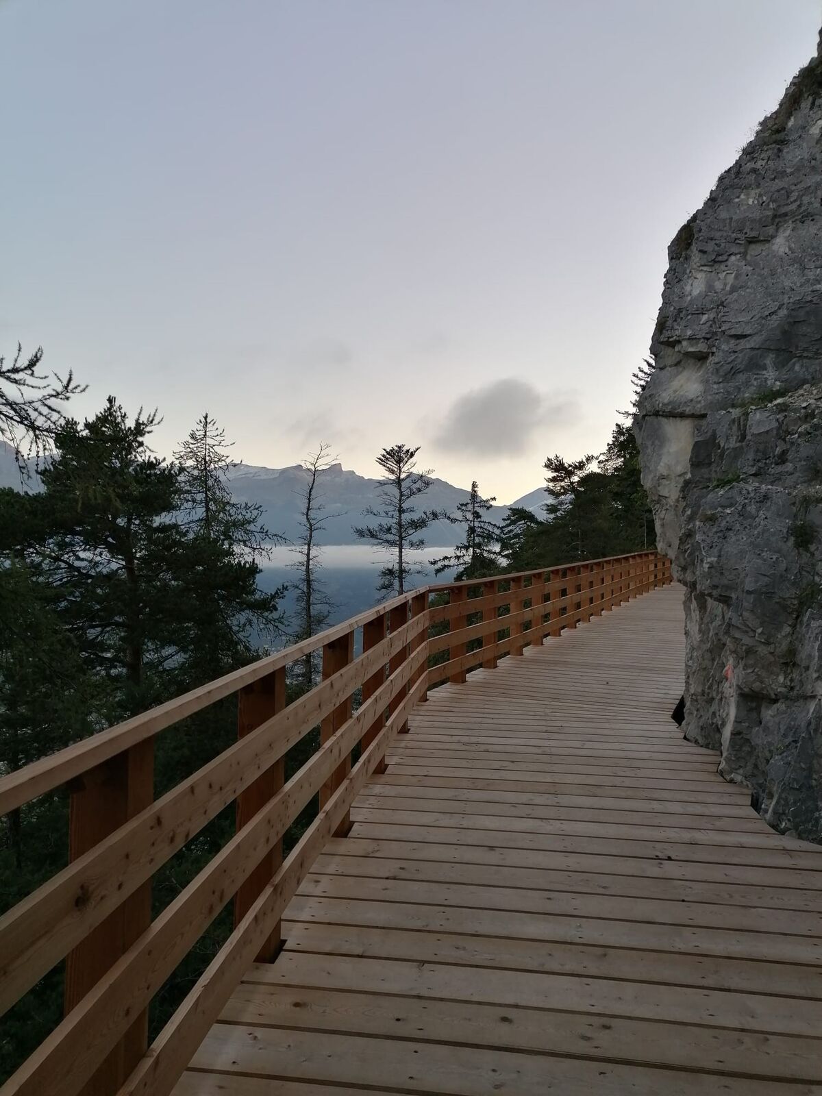
After several weeks of work, the Tour du Mont is once again accessible and can accommodate pushchairs and people with reduced mobility!
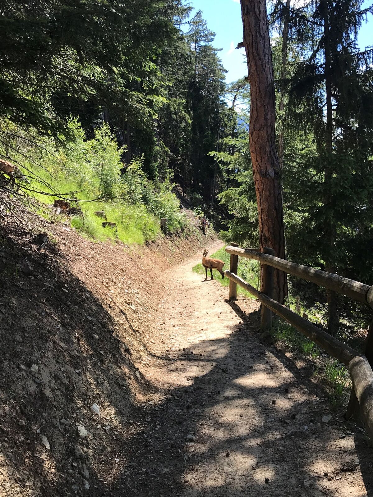
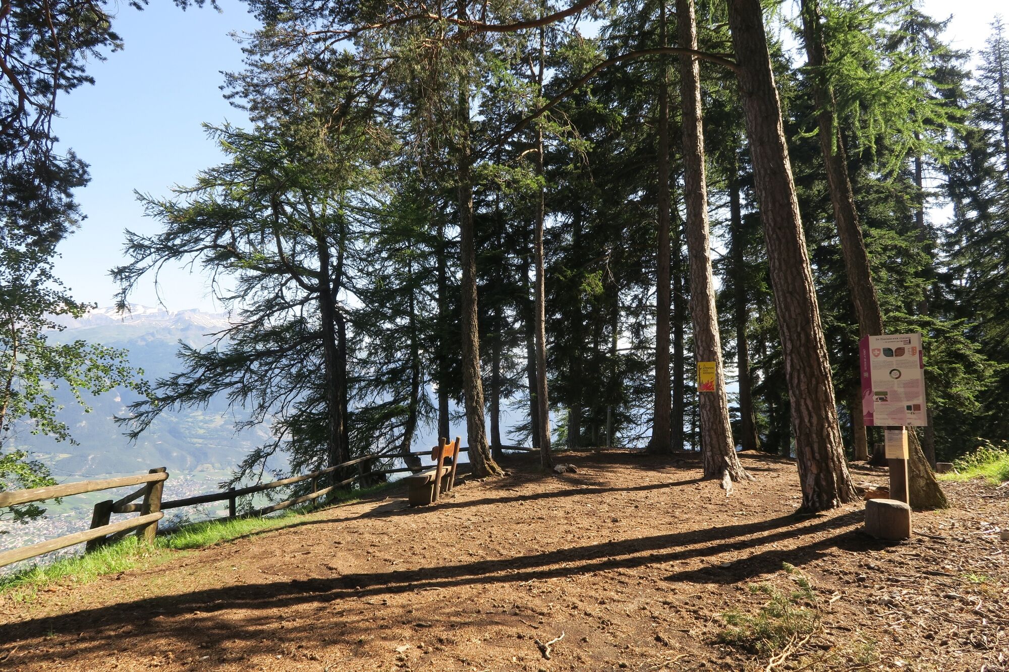
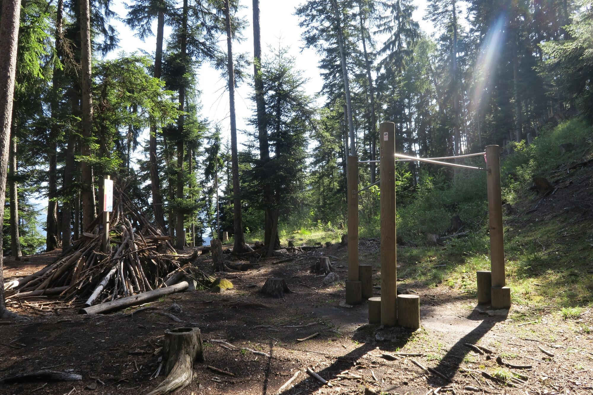
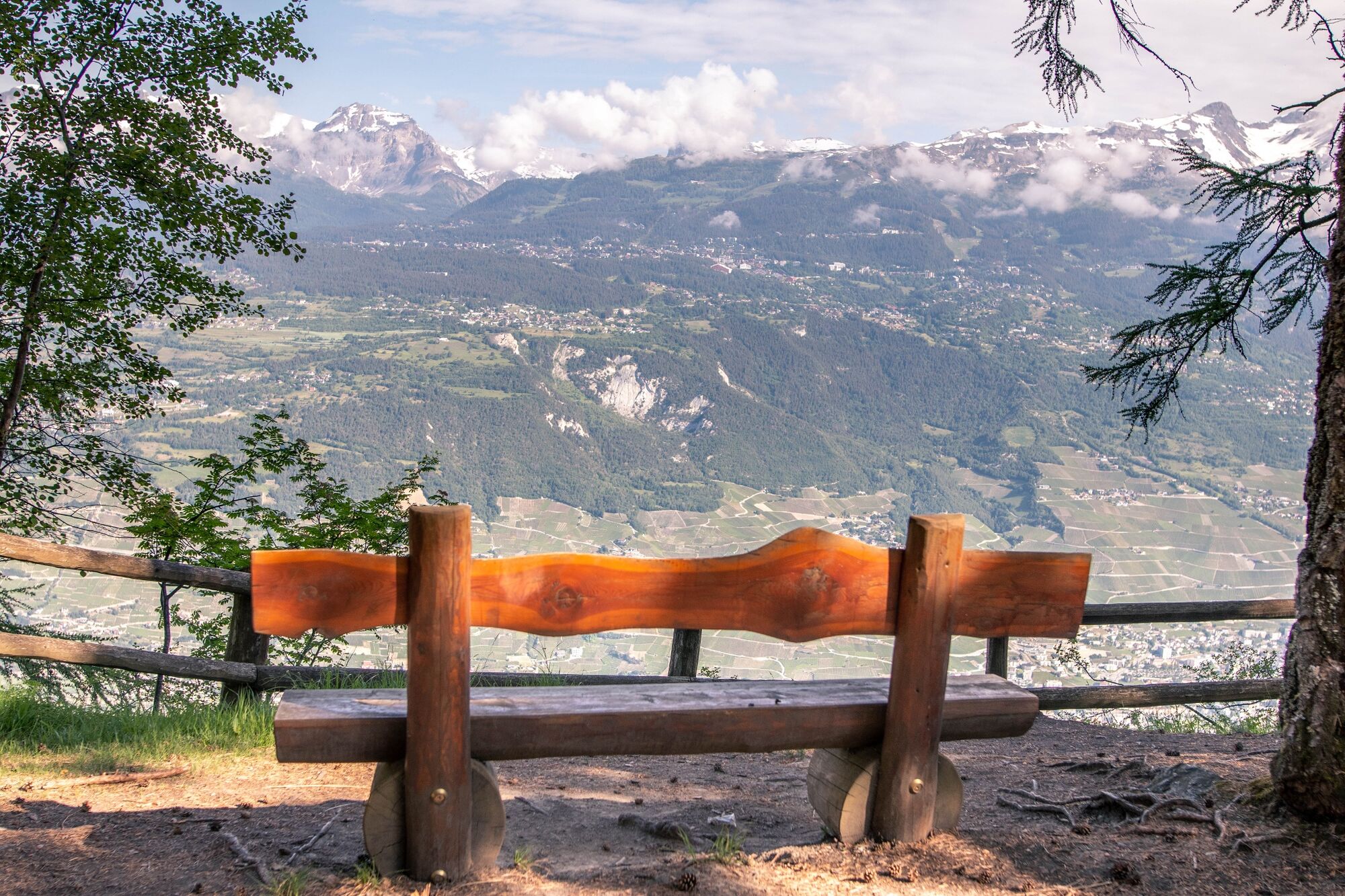
A short walk without difficulty with beautiful views over the Rhône plain, includes an educational trail and a Vita trail. A superb viewpoint awaits you on arrival.
- Teškoća
-
lagano
- Vrednovanje
-
- Wegverlauf
-
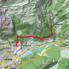
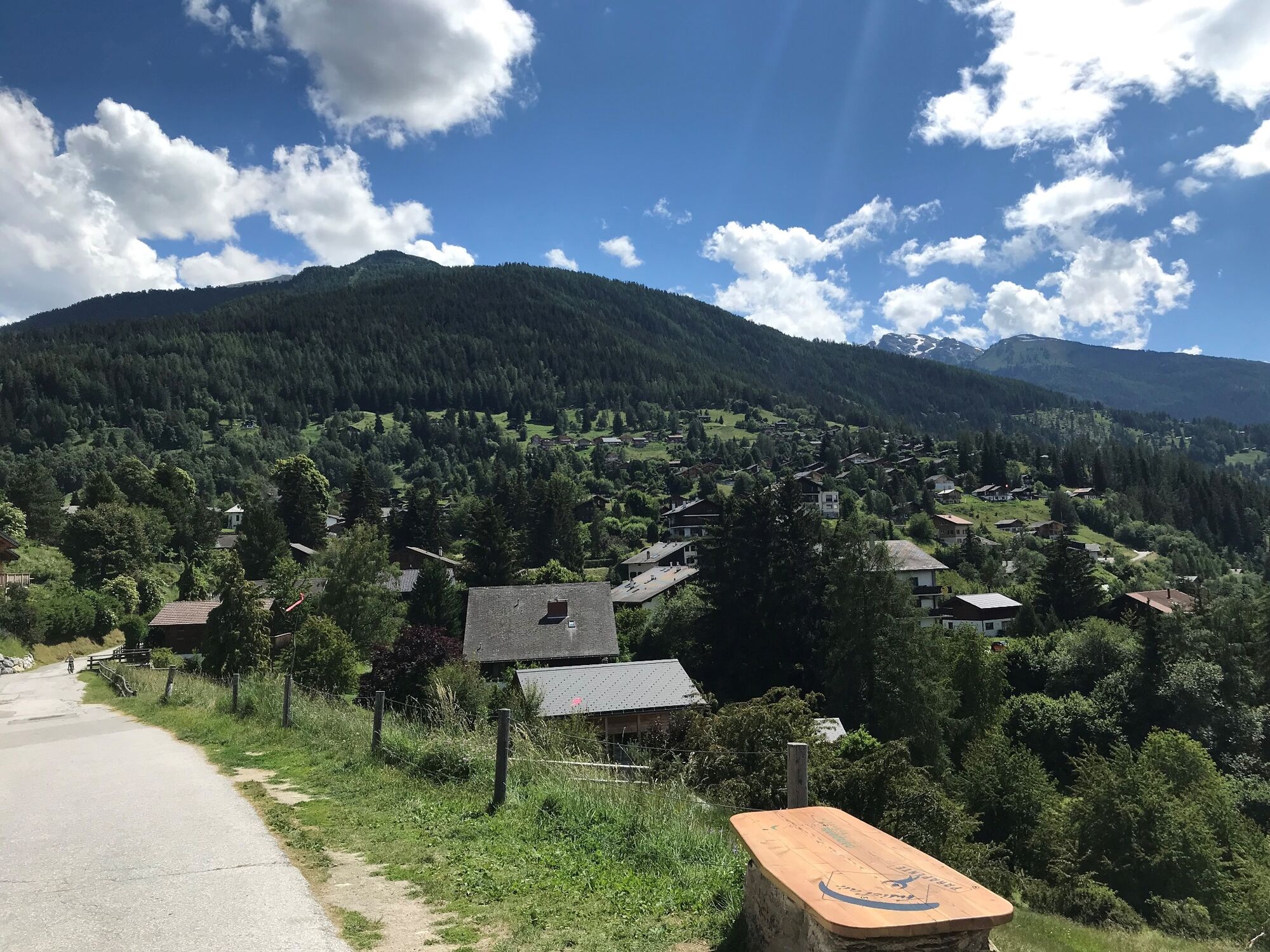
Vercorin (1.330 m)
- Beste Jahreszeit
-
sijveljožutrasvilipsrpkolrujlisstupro
- Höchster Punkt
- 1.319 m
- Zielpunkt
-
The central square in the heart of the village
- Höhenprofil
-
 © outdooractive.com


-

-
AutorDie Tour Tour du Mont - Vercorin wird von outdooractive.com bereitgestellt.
GPS Downloads
Opće informacije
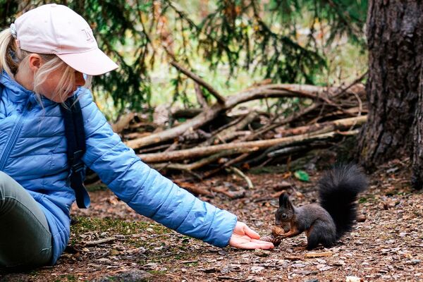
Flora
Fauna
Aussichtsreich
Weitere Touren in den Regionen
-
Thyon les Collons
1433
-
Crans - Montana
984
-
Vercorin
345