

© Matterhorn Gotthard Bahn - Zermatt Tourismus
© Jasmin Scherrer - Zermatt Tourismus

© Leander Wenger - Zermatt Tourismus

- Kratak opis
-
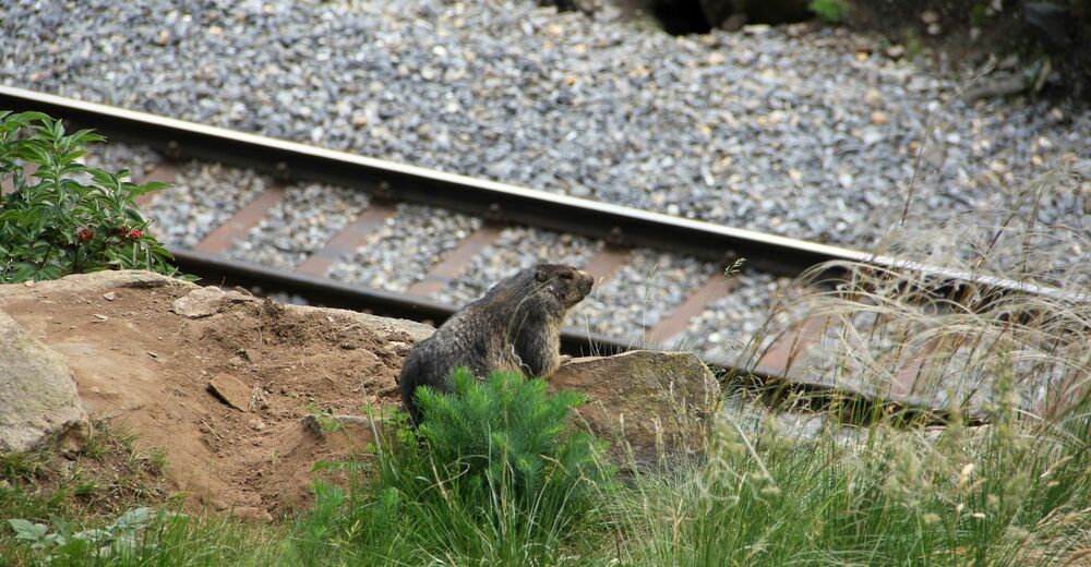
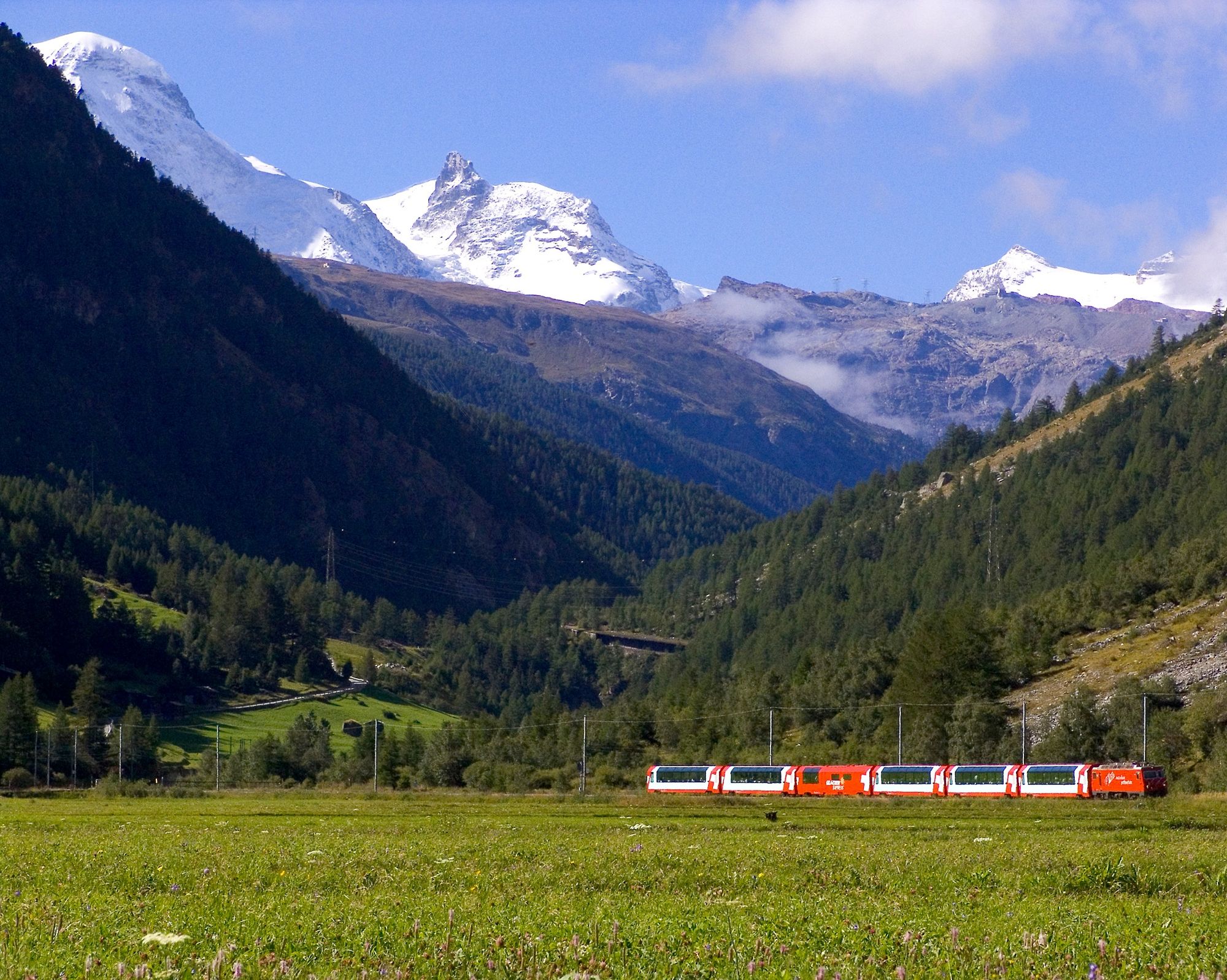
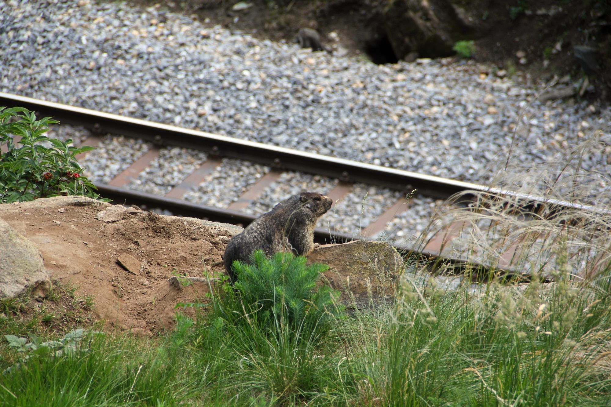
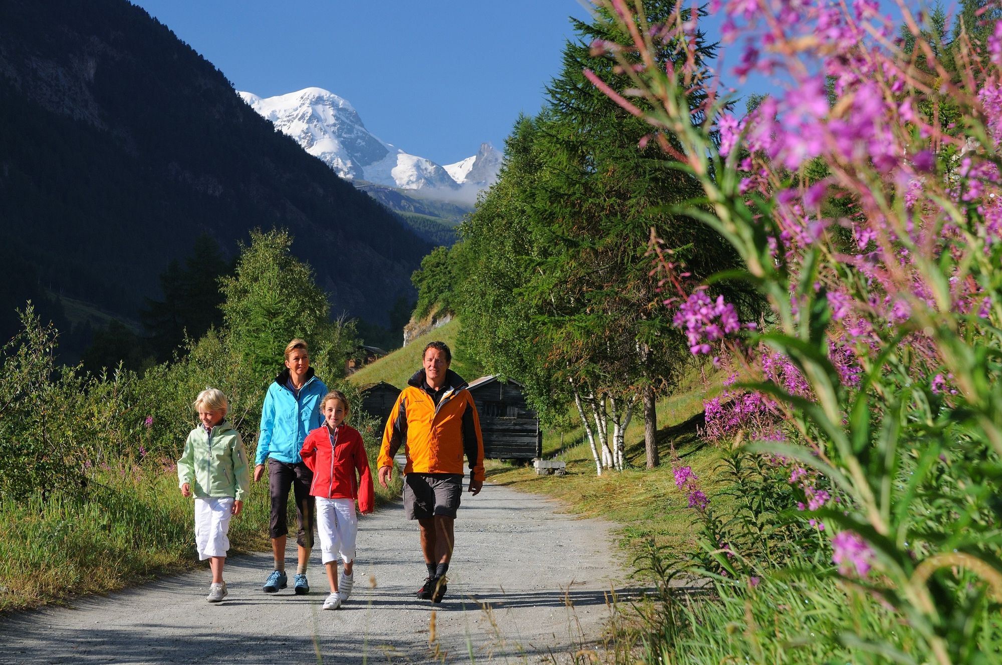
The Railway Trail makes an ideal family walk, offering close-up views of trains of the Matterhorn Gotthard Bahn. The area along the path is also home to marmots and many alpine flowers including some very rare species.
- Teškoća
-
lagano
- Vrednovanje
-
- Wegverlauf
-
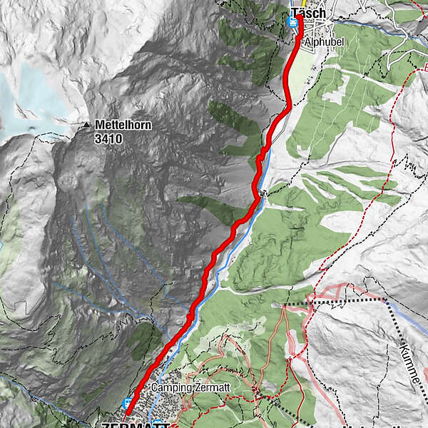
Täsch (1.449 m)0,0 kmRestaurant Walliserkanne0,1 kmTäscherhof0,1 kmZermatt (1.605 m)5,8 km
- Beste Jahreszeit
-
sijveljožutrasvilipsrpkolrujlisstupro
- Höchster Punkt
- 1.627 m
- Zielpunkt
-
Zermatt (1,620 m)
- Höhenprofil
-
 © outdooractive.com
- Autor
-
Die Tour Täsch-Zermatt Railway Trail (Nr. 50) wird von outdooractive.com bereitgestellt.
GPS Downloads


Opće informacije
Einkehrmöglichkeit
Flora
Aussichtsreich
Weitere Touren in den Regionen
-
Oberwallis
1877
-
Mattertal
555
-
Zermatt
154


