

© Kurt Müller - Zermatt Tourismus

© Unbekannt - Zermatt Tourismus

© Unbekannt - Zermatt Tourismus

- Kratak opis
-
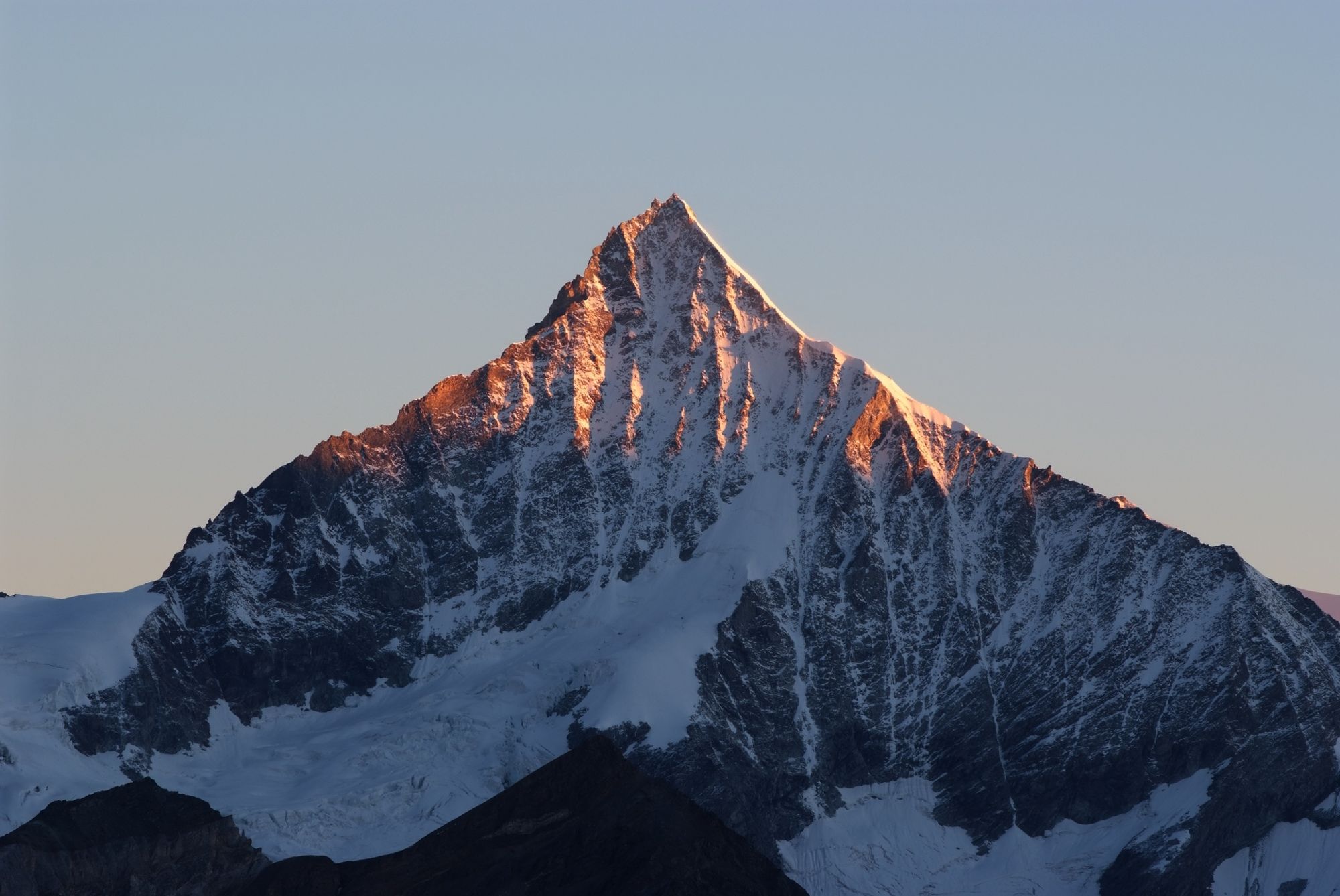
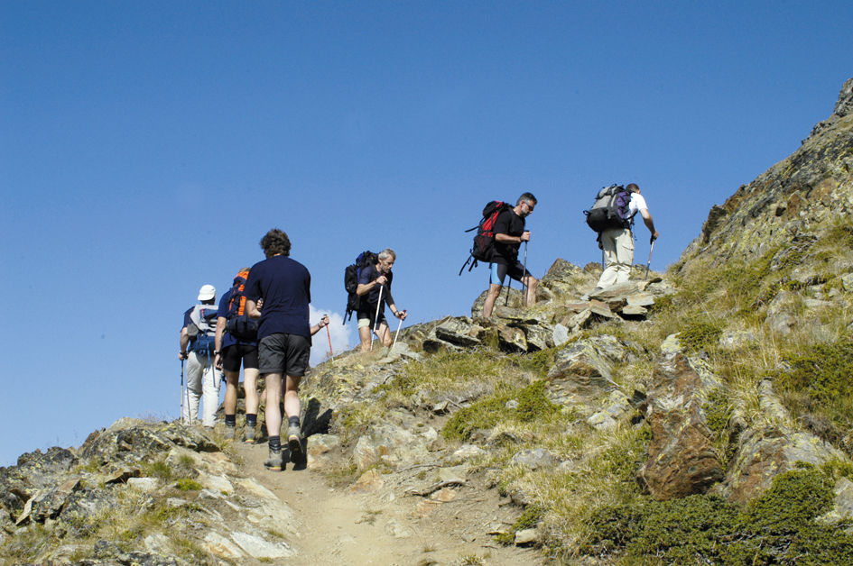
This tough trail is suitable for experienced mountain hikers in good physical shape. The route entails an ascent of 1,774 vertical metres – but the climb is well worth the effort.
- Teškoća
-
teška
- Vrednovanje
-
- Wegverlauf
-
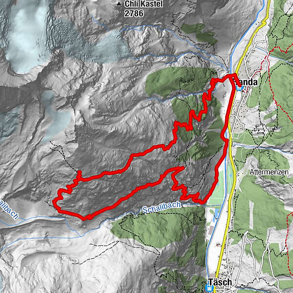
Randa (1.406 m)Weisshornhütte SAC (2.932 m)6,5 kmRanda16,4 kmRanda (1.406 m)16,5 km
- Beste Jahreszeit
-
sijveljožutrasvilipsrpkolrujlisstupro
- Höchster Punkt
- 2.913 m
- Zielpunkt
-
Randa (1,439 m)
- Höhenprofil
-
 © outdooractive.com

- Autor
-
Die Tour Hike to the Weisshorn Hut (Nr. 61) wird von outdooractive.com bereitgestellt.
GPS Downloads


Opće informacije
Einkehrmöglichkeit
Flora
Fauna
Aussichtsreich
Weitere Touren in den Regionen
-
Oberwallis
1872
-
Mattertal
555
-
Täsch
195


")
