© Crans-Montana Tourisme & Congrès - David Carlier

© Outdooractive – 3D Videos

© Crans-Montana Tourisme & Congrès - Florence Clivaz

© Crans-Montana Tourisme & Congrès - Florence Clivaz

© Crans-Montana Tourisme & Congrès - Florence Clivaz

© Crans-Montana Tourisme & Congrès - Florence Clivaz

© Crans-Montana Tourisme & Congrès - Florence Clivaz

© Crans-Montana Tourisme & Congrès - Florence Clivaz

© Crans-Montana Tourisme & Congrès - Florence Clivaz

- Kratak opis
-
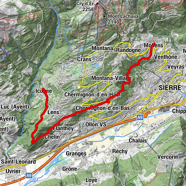
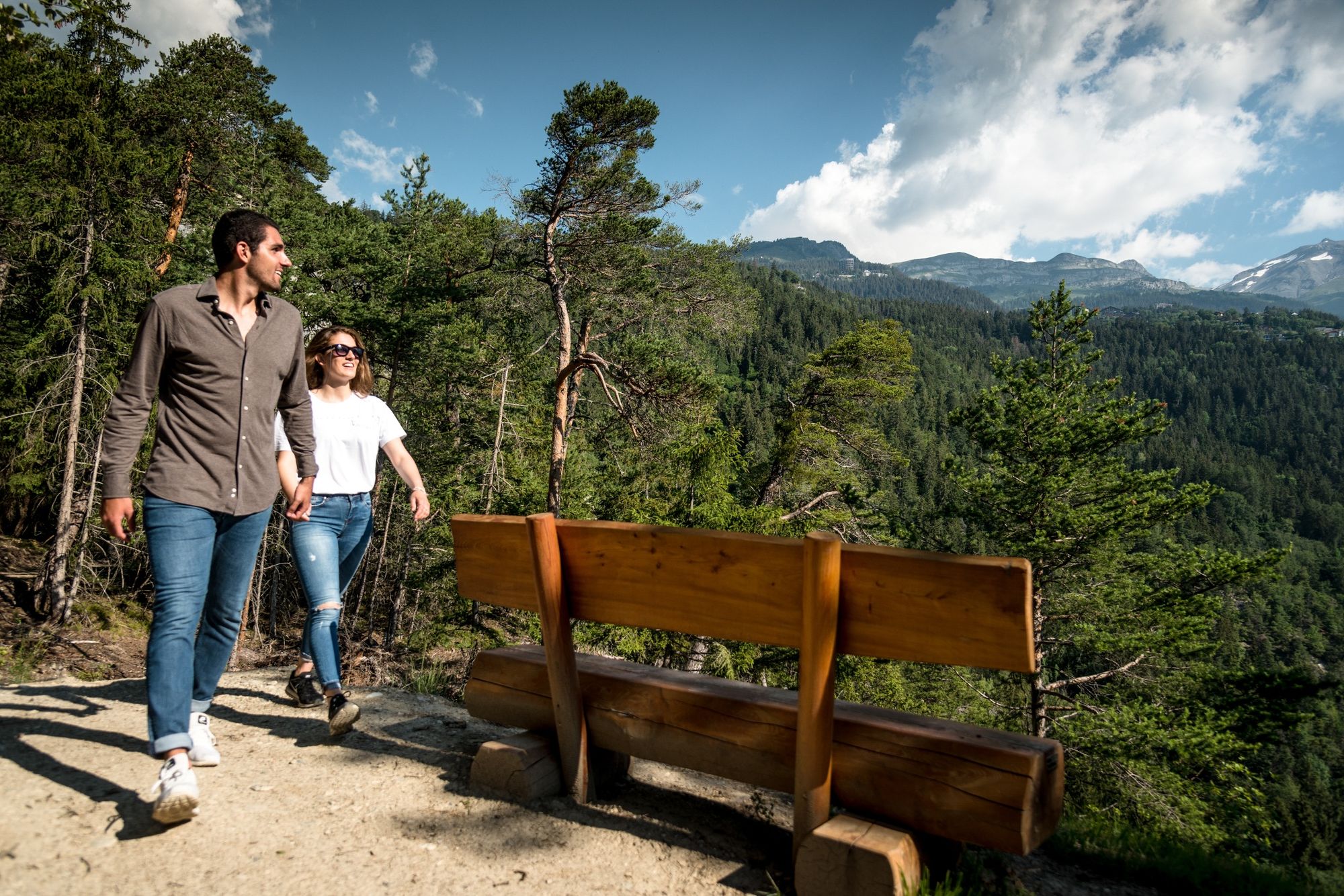
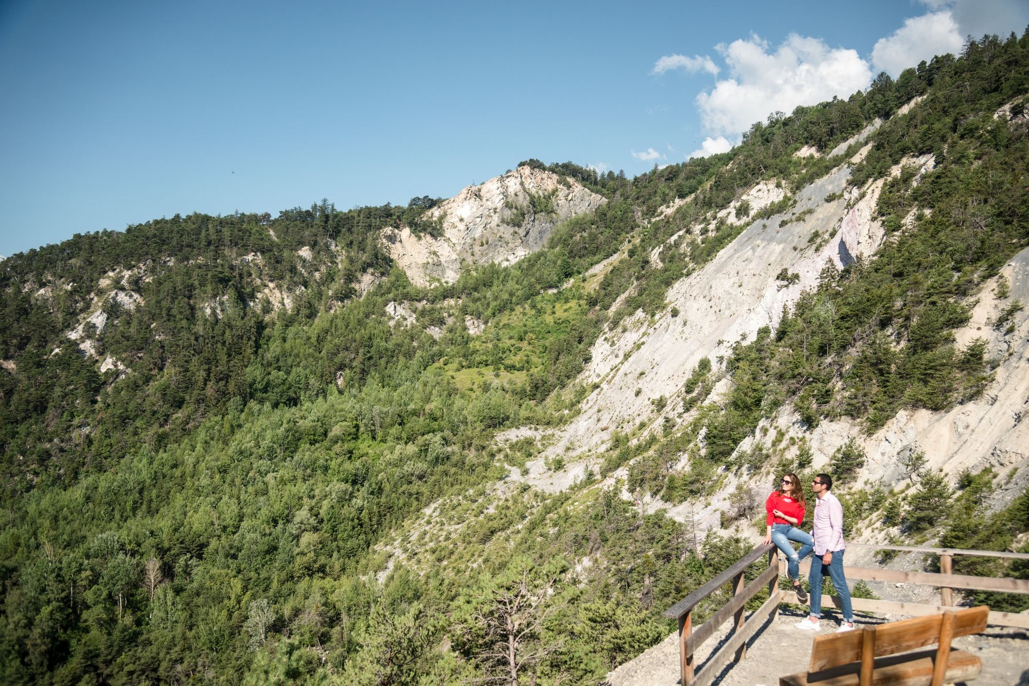
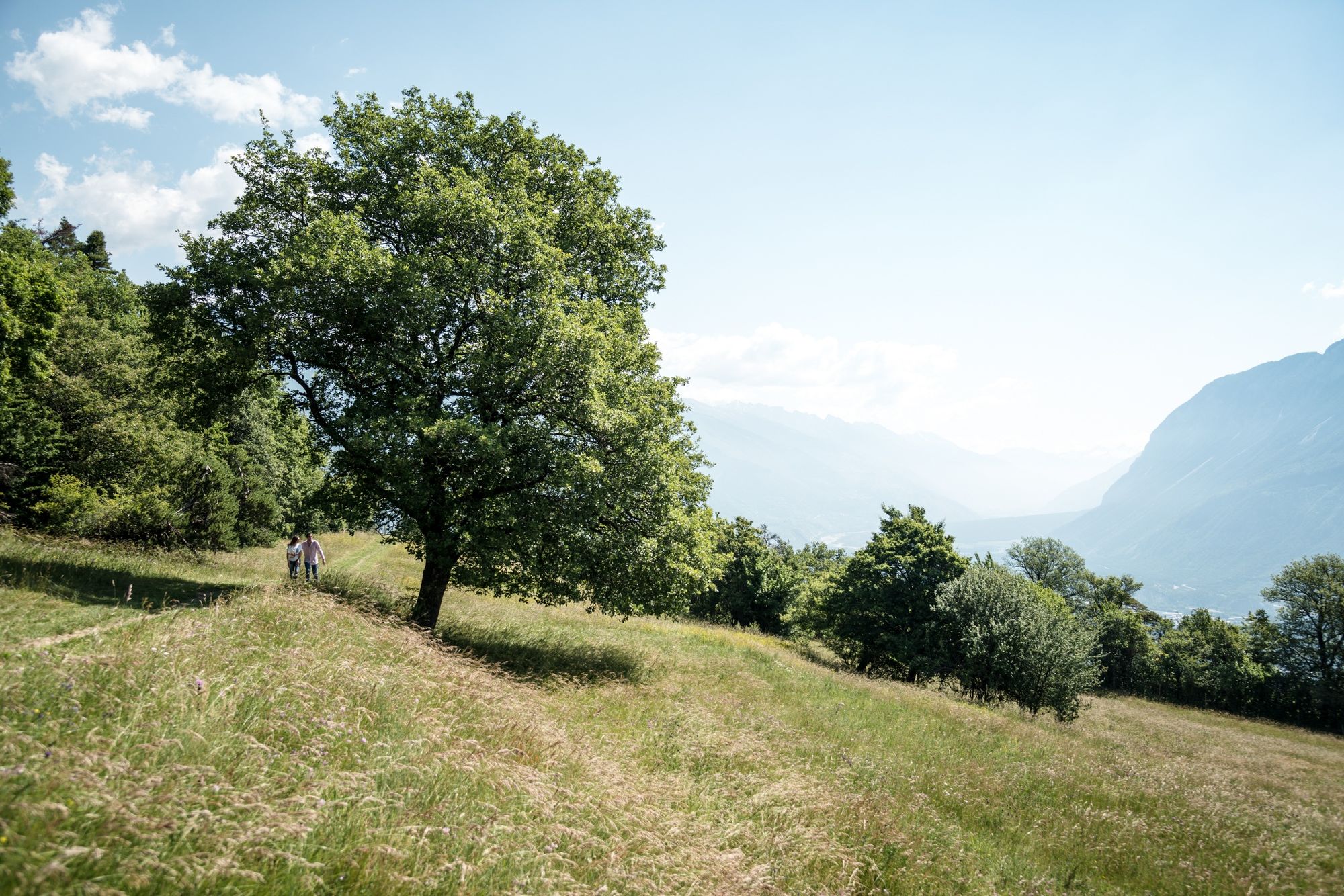
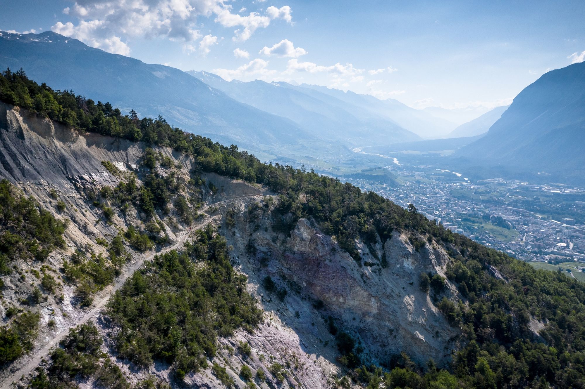
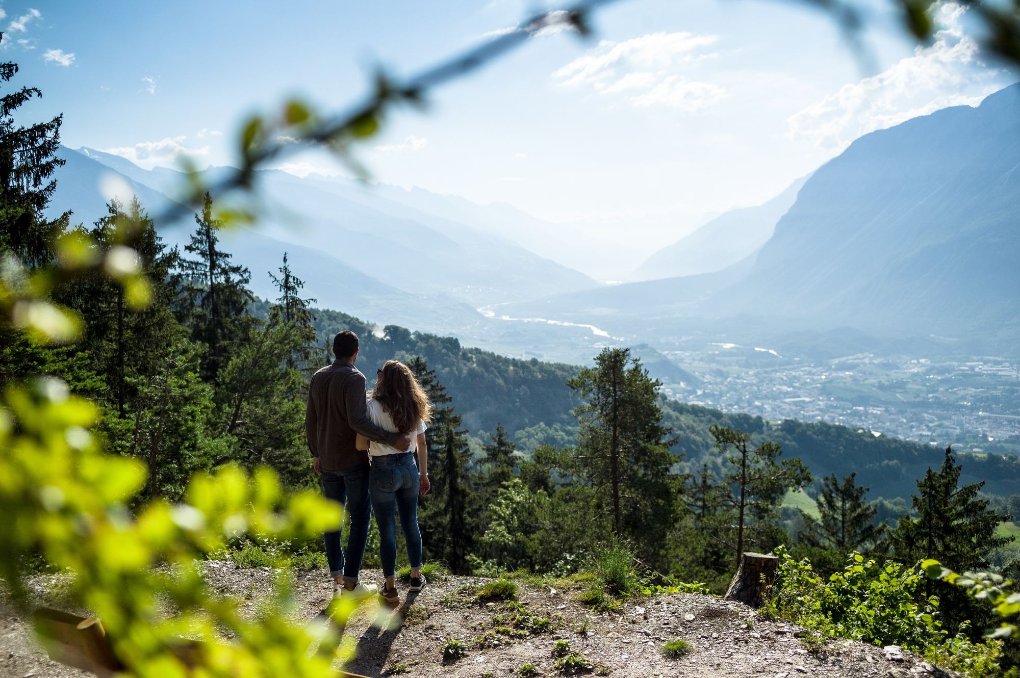
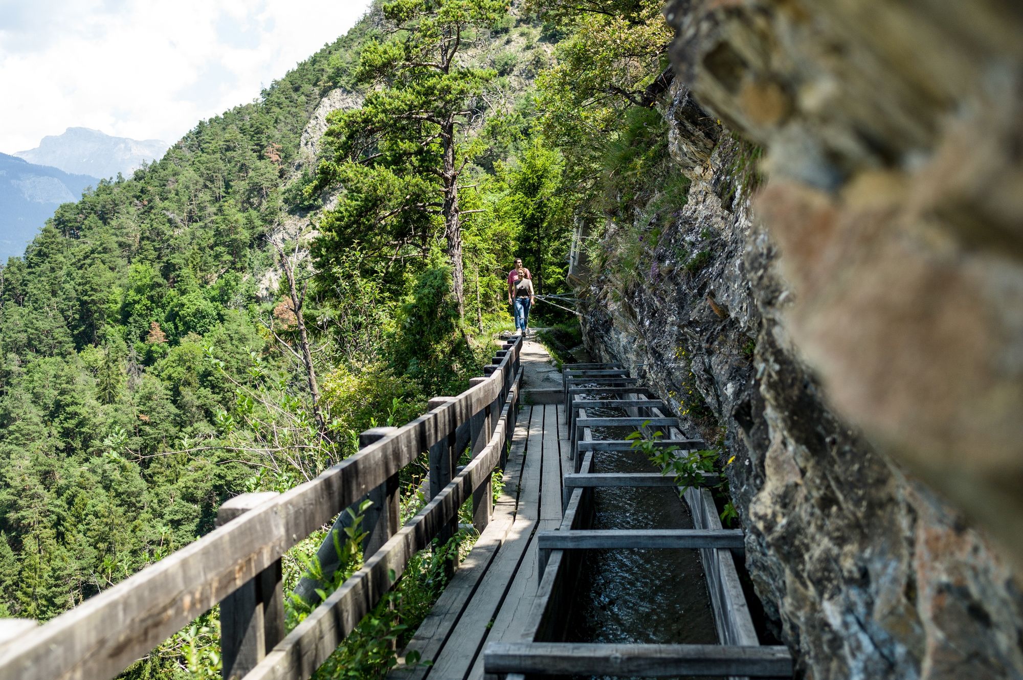
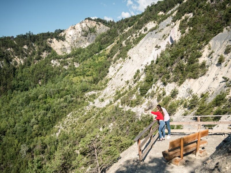
As of the summer 2020, the Chemin des Contrées path links Mollens and Nayes and St-Maurice-de-Laques in the middle of the Noble Contrée region and Diogne and Chermignon-d’en-Bas, linking via the Grand Bisse to Icogne-Lens, in the heart of the Louable Contrée region. This easy and almost flat route at an altitude of 1,000m traverses extraordinary wild surroundings, with a direct link to the SMC and Post bus routes.
Punctuated by forests, scree and streams, and offering breathtaking viewpoints, this route is truly an educational excursion, thanks to seven information panels which enable walkers to explore the wealth of history in the region, thanks to testimonies from local people.
- Teškoća
-
srednje
- Vrednovanje
-
- Wegverlauf
-
Mollens (1.070 m)0,1 kmSaint-Maurice-de-Laques0,6 kmNayes1,3 kmChermignon-d'en-Bas6,0 kmLeis (1.128 m)8,6 kmChelin (756 m)9,6 kmLeis (1.128 m)13,1 kmIcogne (1.026 m)14,7 km
- Beste Jahreszeit
-
sijveljožutrasvilipsrpkolrujlisstupro
- Höchster Punkt
- 1.083 m
- Zielpunkt
-
Icogne
- Höhenprofil
-
 © outdooractive.com

- Autor
-
Die Tour Chemin des Contrées wird von outdooractive.com bereitgestellt.
GPS Downloads


Opće informacije
Einkehrmöglichkeit
Heilklima
Kulturell/Historisch
Aussichtsreich
Weitere Touren in den Regionen
-
Thyon les Collons
1436
-
Crans - Montana
987
-
Lens
226