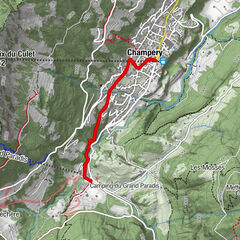
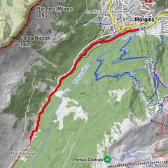
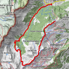
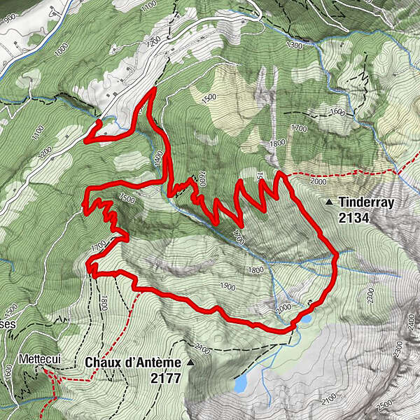
La Frâche - Sélaire - Cabane et Lac d'Antème - Alpage d'Antème - La Frâche


© Sylvain Cochard


- Kratak opis
-
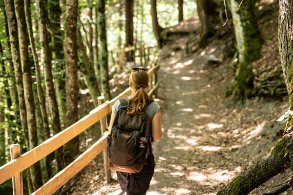
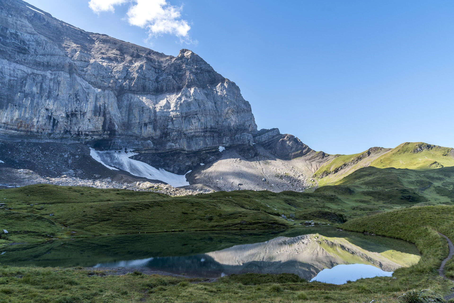
The physical effort of this strenuous hike is rivalled only by the peaceful tranquility of the two alpine lakes at your destination, nestled at the at the foot of the mighty northwest face of the Haute Cime and surrounded by a spectactular cirque of limestone cliffs.
- Teškoća
-
teška
- Vrednovanje
-
- Wegverlauf
-
Cabane d'Antème4,7 km
- Beste Jahreszeit
-
sijveljožutrasvilipsrpkolrujlisstupro
- Höchster Punkt
- 2.060 m
- Zielpunkt
-
Route des Rives, La Frâche
- Höhenprofil
-
 © outdooractive.com

-

-
AutorDie Tour La Frâche - Sélaire - Cabane et Lac d'Antème - Alpage d'Antème - La Frâche wird von outdooractive.com bereitgestellt.
GPS Downloads


Opće informacije
Einkehrmöglichkeit
Aussichtsreich
Weitere Touren in den Regionen
-
Portes du Soleil
974
-
Région Dents du Midi
581
-
Champéry
190