


- Kratak opis
-
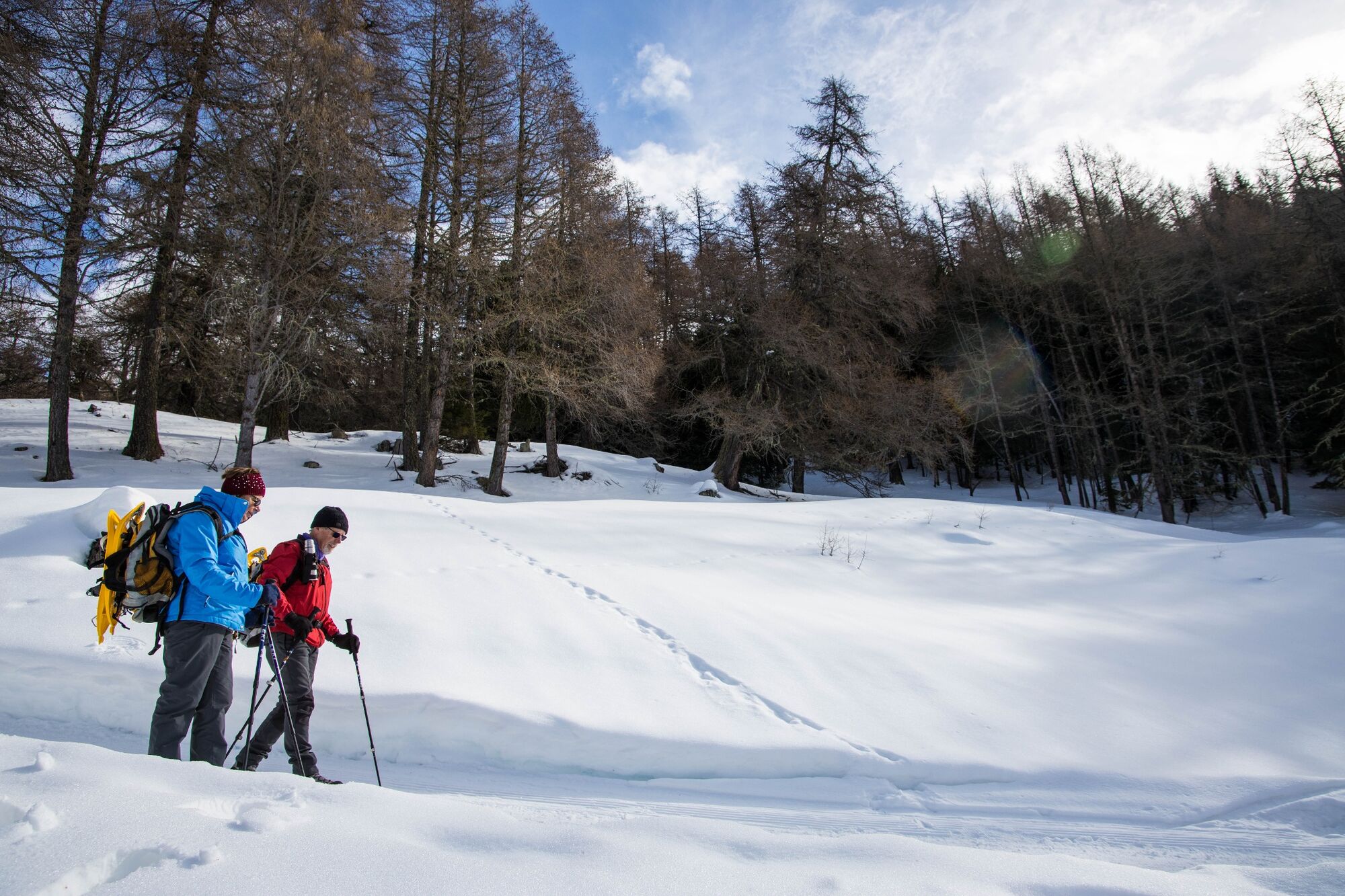
Caution, risk of ice on several parts of the route. Good footwear is strongly recommended.
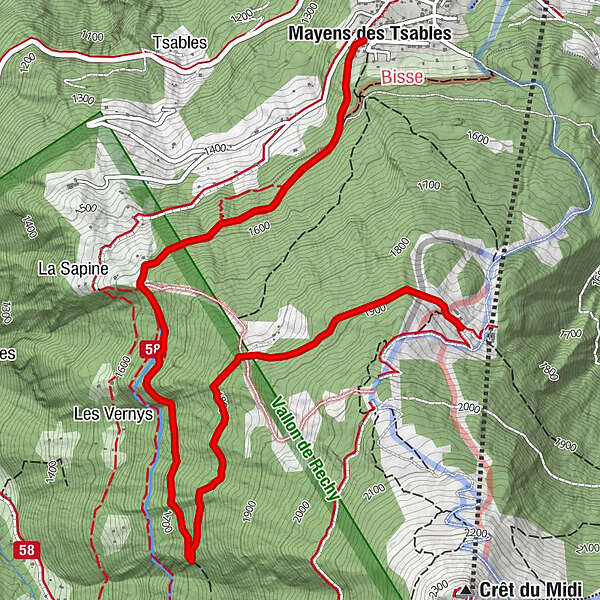
A hike starting at the top of the village of Vercorin and leading to the intermediate station of the Vercorin-Crêt du Midi cable car, at Sigeroulaz.
- Teškoća
-
lagano
- Vrednovanje
-
- Wegverlauf
-
Mayens des TsablesL'étable5,1 km
- Beste Jahreszeit
-
kolrujlisstuprosijveljožutrasvilipsrp
- Höchster Punkt
- 1.879 m
- Zielpunkt
-
Sigeroulaz
- Höhenprofil
-
 © outdooractive.com
-

-
AutorDie Tour L'A de Bran wird von outdooractive.com bereitgestellt.
GPS Downloads


Opće informacije
Einkehrmöglichkeit
Aussichtsreich
Weitere Touren in den Regionen
-
Thyon les Collons
235
-
Sierre Anniviers
122
-
Vercorin
49


