© Tourismusagentur Ostbelgien - Dominik Ketz

© Tourismusagentur Ostbelgien - Dominik Ketz

© Tourismusagentur Ostbelgien - Dominik Ketz

© Tourismusagentur Ostbelgien - Dominik Ketz

© Tourismusagentur Ostbelgien - ostbelgien.eu

© Tourismusagentur Ostbelgien - Denis Dosquet

- Kratak opis
-
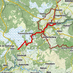
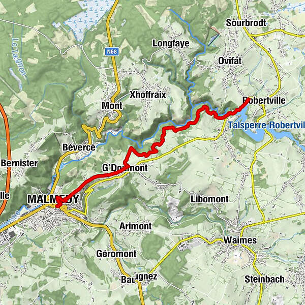
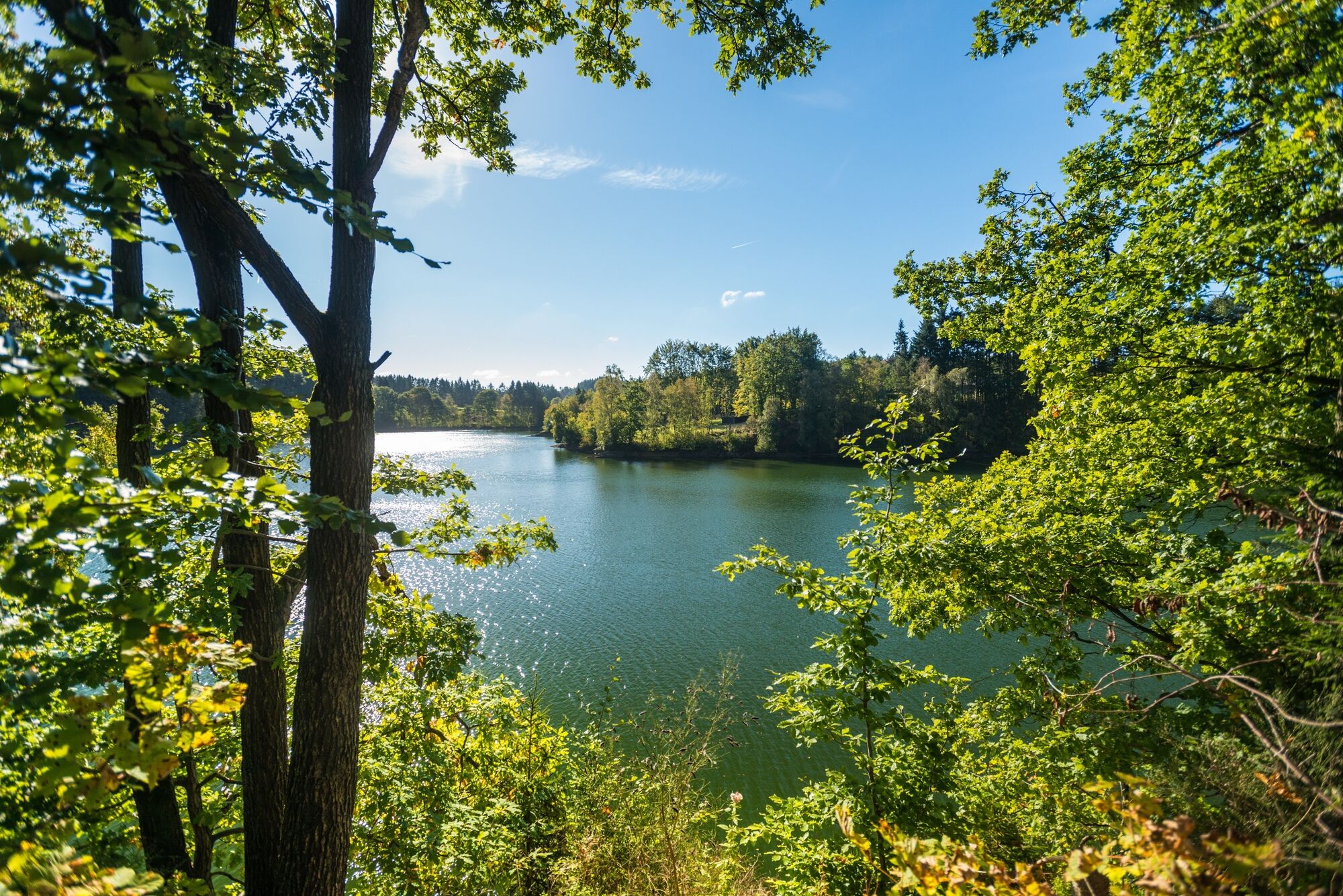
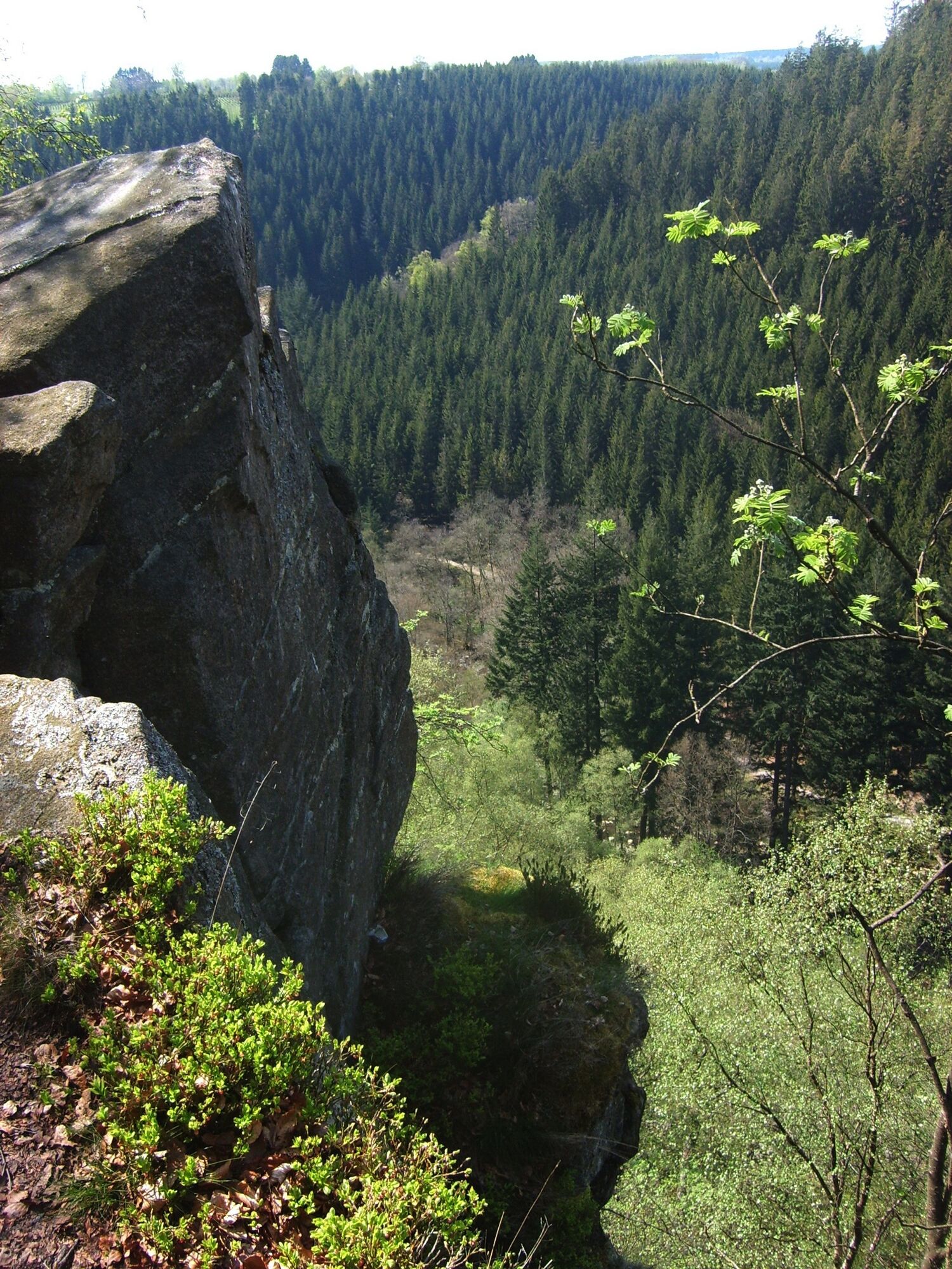
This short stage on the hiking trail GR56 takes you via the 'Warche variant'. From Malmedy, the well made trail proceeds constantly upstream.
- Teškoća
-
srednje
- Vrednovanje
-
- Wegverlauf
-
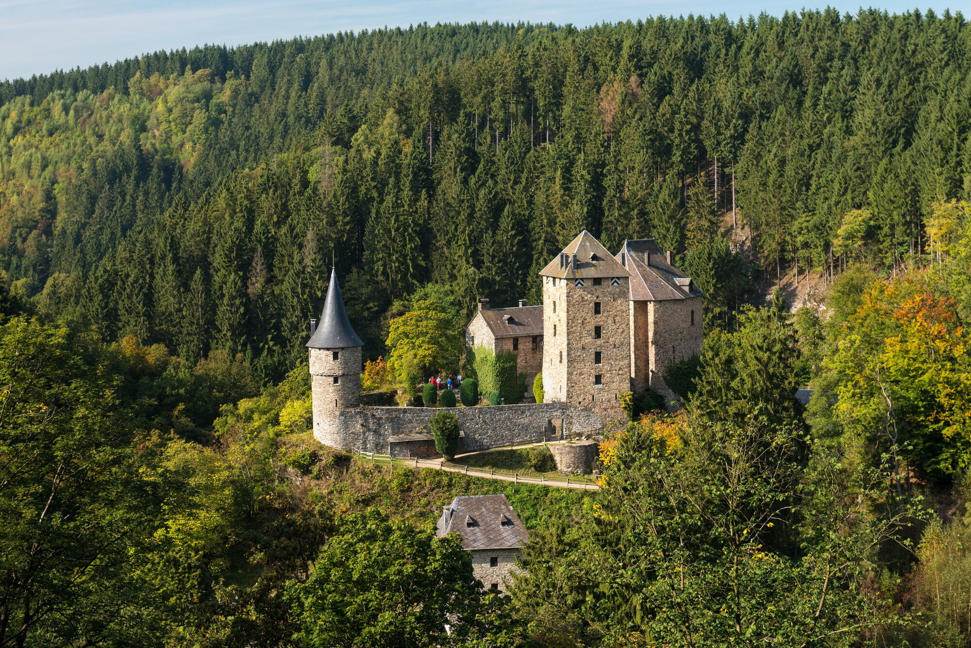
Malmedy0,3 kmBelvédère "La Tournante Roche" (426 m)0,7 kmChapelle du Calvaire0,7 kmChôdes2,4 kmG'Doumont2,8 kmNez de Napoléon7,7 kmCascade de Reinhardstein8,3 km
- Beste Jahreszeit
-
sijveljožutrasvilipsrpkolrujlisstupro
- Höchster Punkt
- 514 m
- Zielpunkt
-
Robertville Dam. GPS coordinates 50.451979,6.108500
- Höhenprofil
-
 © outdooractive.com

- Autor
-
Die Tour GR56 – Malmedy / Robertville wird von outdooractive.com bereitgestellt.
GPS Downloads
Weitere Touren in den Regionen
-
Eifel/ Rheinland-Pfalz
1053
-
Hohes Venn
601
-
Malmedy
116