© Tourismusagentur Ostbelgien - Dominik Ketz
© Tourismusagentur Ostbelgien - Dominik Ketz
© Tourismusagentur Ostbelgien - ostbelgien.eu

- Kratak opis
-
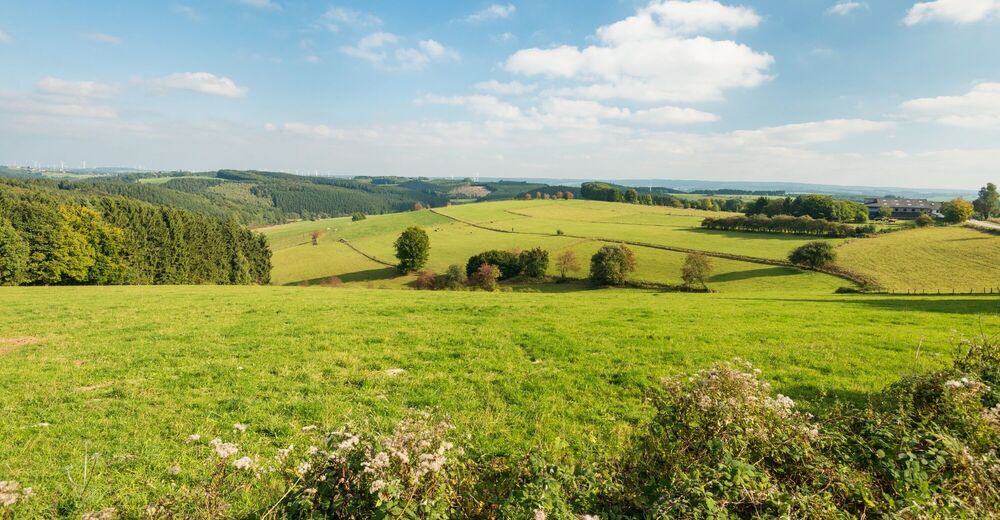
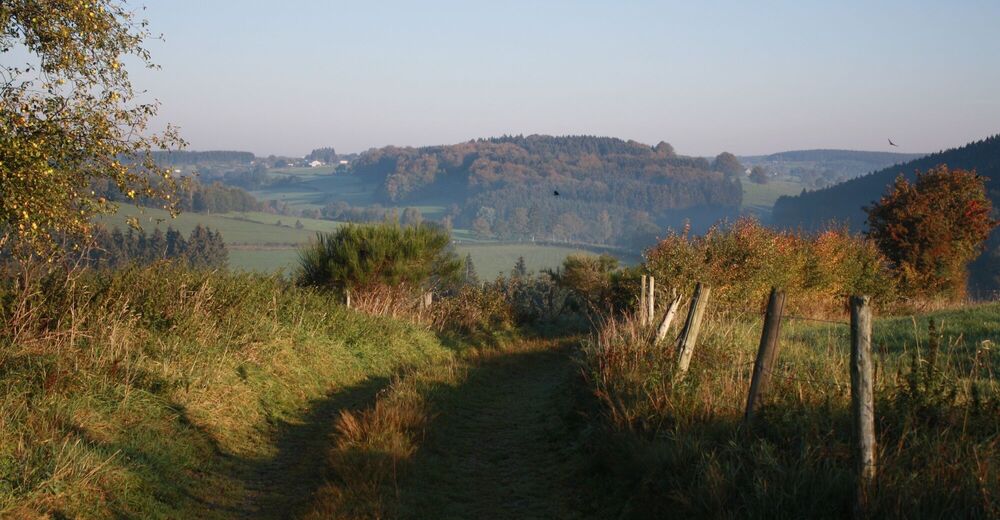
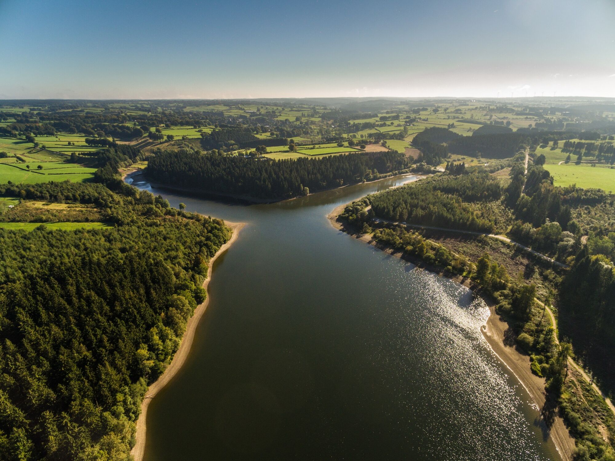
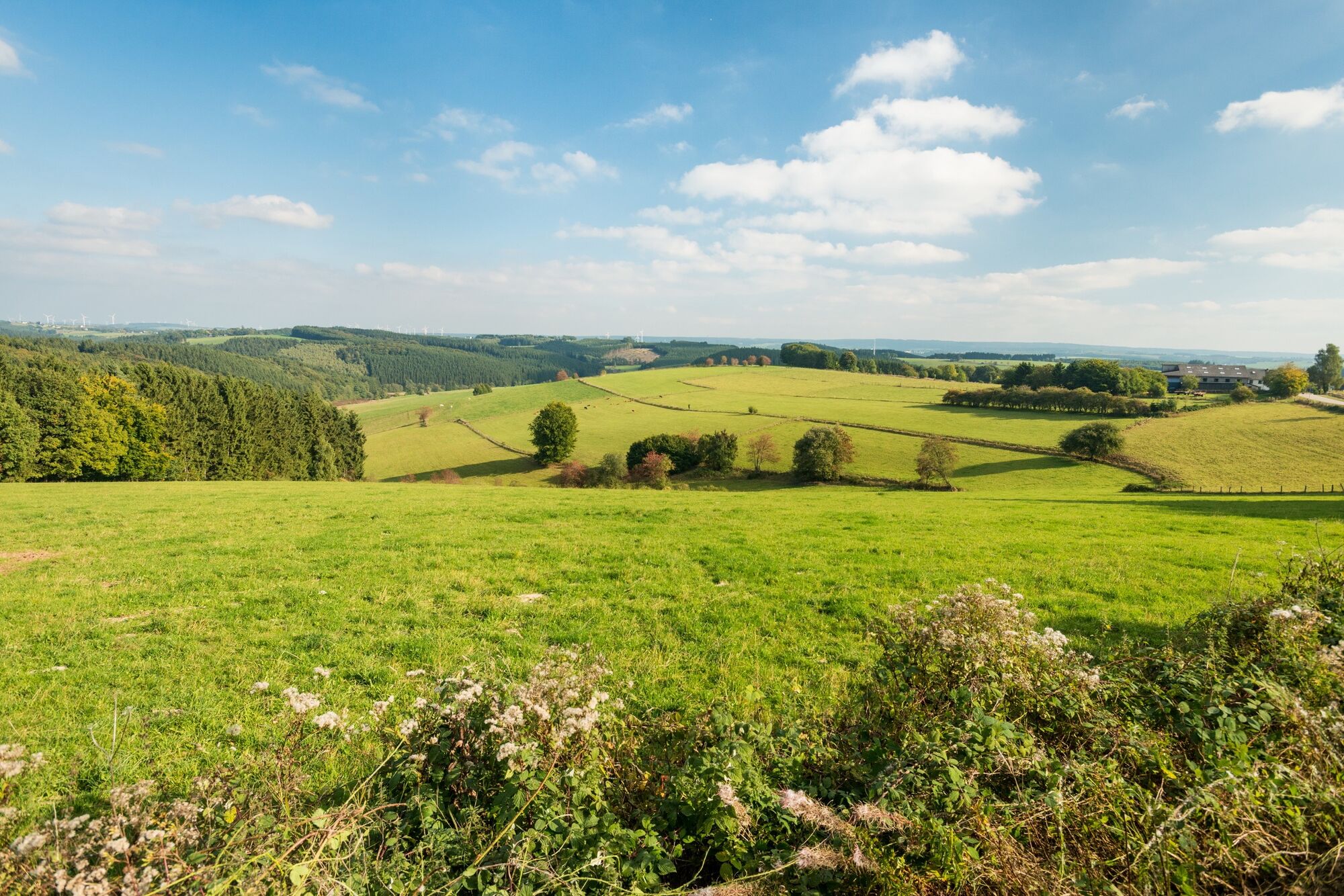
The narrow Warche valley lies embedded in the delightful landscape near the familiar High Fens.
- Teškoća
-
srednje
- Vrednovanje
-
- Wegverlauf
-
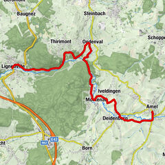
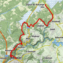
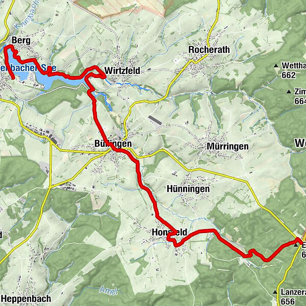
Bütgenbach0,3 kmBerg1,5 kmHl. Maria Mutter Gottes Statue7,7 kmBüllingen8,9 kmSt. Eligius9,0 kmHonsfeld13,0 kmBuchholz16,2 kmEichelsberg (677 m)18,3 kmHotel - Restaurant - Café Schröder18,6 kmLosheimergraben18,6 km
- Beste Jahreszeit
-
sijveljožutrasvilipsrpkolrujlisstupro
- Höchster Punkt
- 671 m
- Zielpunkt
-
Buchholz / Losheimergraben. GPS coordinates 50.376037,6.316669 and 50.436133,6.212146
- Höhenprofil
-
 © outdooractive.com
- Autor
-
Die Tour GR56 – Bütgenbach - Losheimergraben wird von outdooractive.com bereitgestellt.
GPS Downloads


Opće informacije
Kulturell/Historisch
Weitere Touren in den Regionen
-
Eifel/ Rheinland-Pfalz
1057
-
Hohes Venn
602
-
Büllingen
90