Podaci o ruti
31,77km
417
- 589m
257hm
283hm
02:00h
- Kratak opis
-
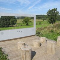
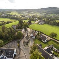
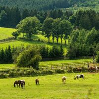
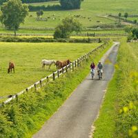
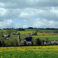
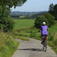
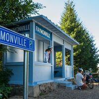
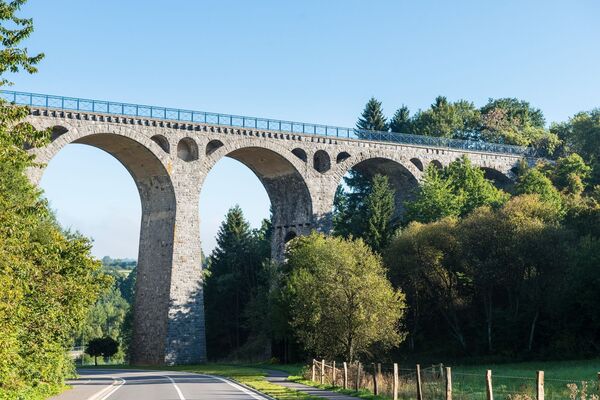
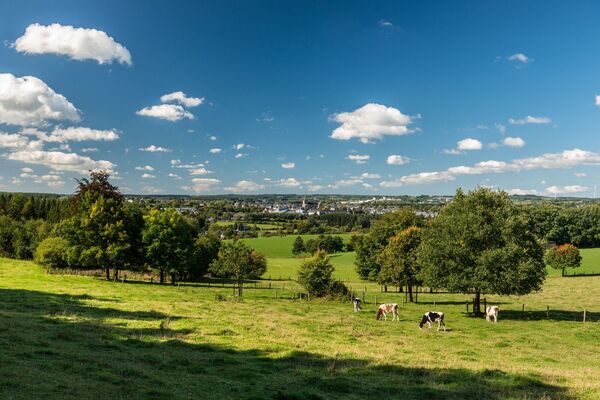
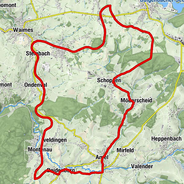
Half the tour runs along the Vennbahn, which is closed to motorised vehicles and winds its way in an elegant curve between the source regions of the Amel and the Warchenne. The open countryside with many valleys is occasionally dotted with little pieces of woodland.
- Teškoća
-
srednje
- Vrednovanje
-
- Wegverlauf
-
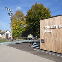
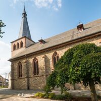
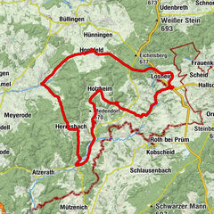
Außenborn0,9 kmSchoppen12,7 kmKapelle Möderscheid14,5 kmMöderscheid14,5 kmAmel18,0 kmSankt Hubertuskirche18,1 kmAmel Mitte18,1 kmFriture Peters18,7 kmDeidenberg21,2 kmMontenau24,5 kmPicknick and info-TV26,1 kmNiedersteinbach29,0 kmRemonval30,2 kmSteinbach30,5 km
- Beste Jahreszeit
-
sijveljožutrasvilipsrpkolrujlisstupro
- Höchster Punkt
- 589 m
- Zielpunkt
-
Weismes, Rue de la Gare 91
- Höhenprofil
-
© outdooractive.com
- Autor
-
Die Tour Ovelo - Between the Amel and Warchenne wird von outdooractive.com bereitgestellt.
GPS Downloads
Weitere Touren in den Regionen
-
Eifel/ Rheinland-Pfalz
82
-
Hohes Venn
36
-
Weismes
7


