

© Tourismusagentur Ostbelgien - Dominik Ketz

© Tourismusagentur Ostbelgien - Dominik Ketz

© Tourismusagentur Ostbelgien - Dominik Ketz

© Tourismusagentur Ostbelgien - Dominik Ketz

© Tourismusagentur Ostbelgien - Dominik Ketz

© Tourismusagentur Ostbelgien - Dominik Ketz

© Tourismusagentur Ostbelgien - Dominik Ketz

© Tourismusagentur Ostbelgien - Dominik Ketz

© Tourismusagentur Ostbelgien - Dominik Ketz

© Tourismusagentur Ostbelgien - Dominik Ketz

- Kratak opis
-
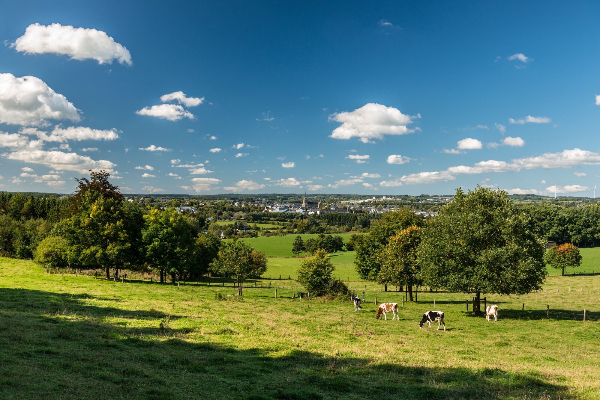
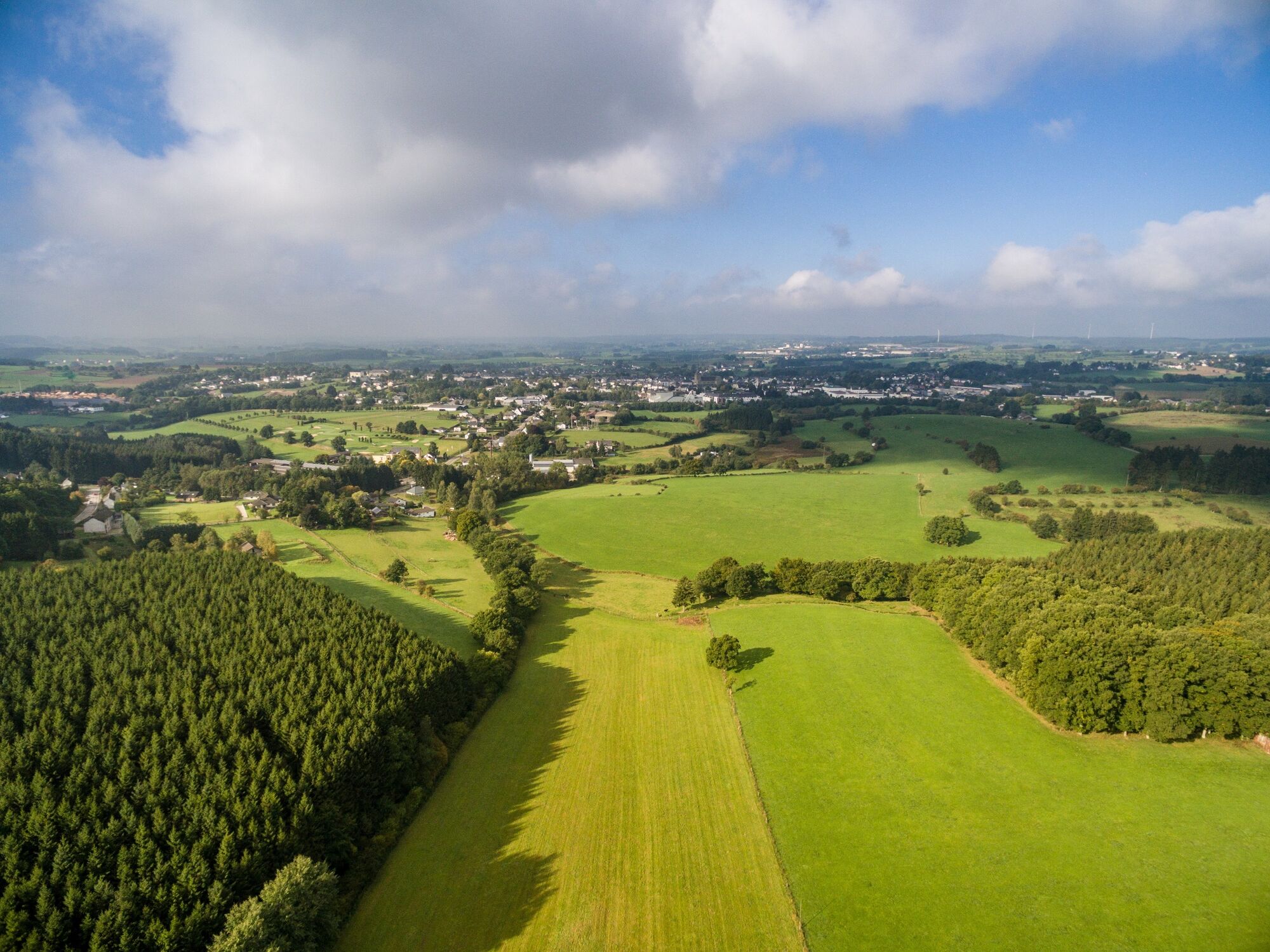
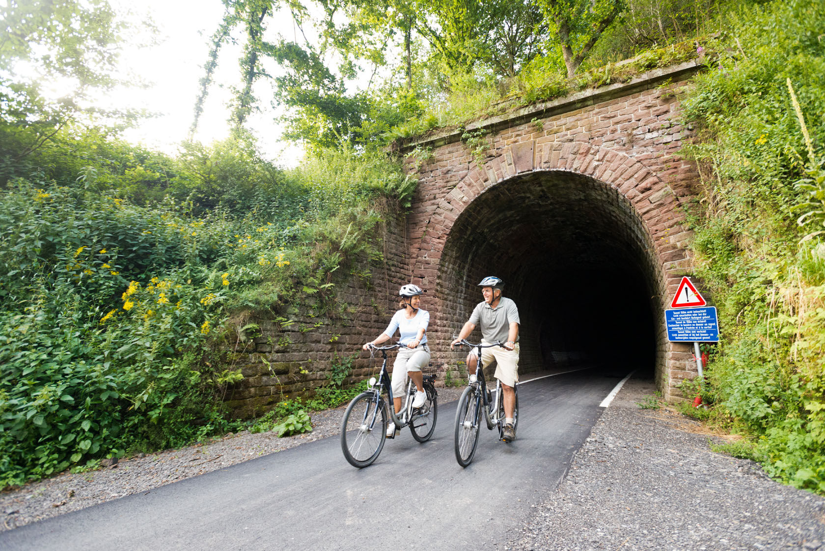
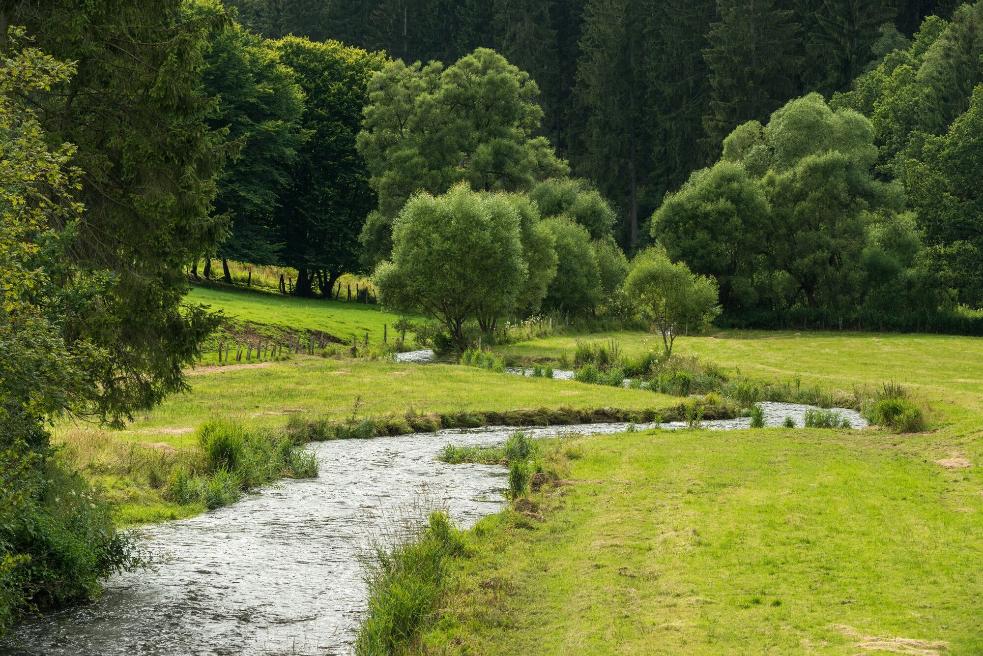
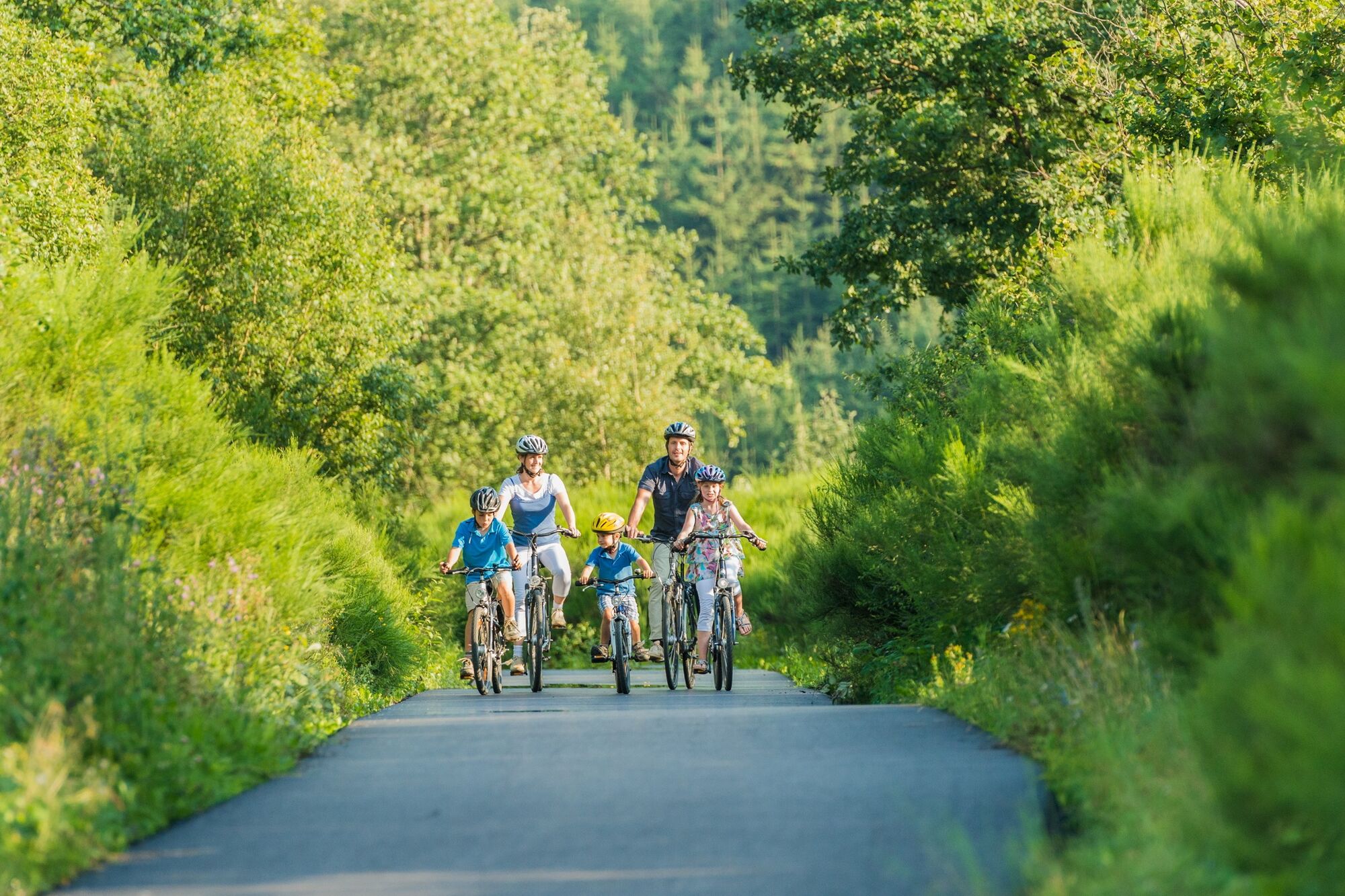
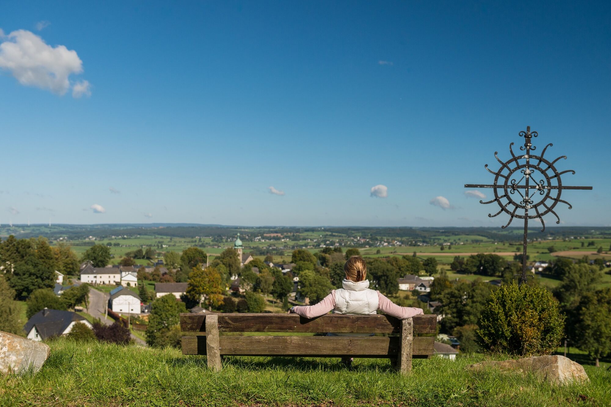
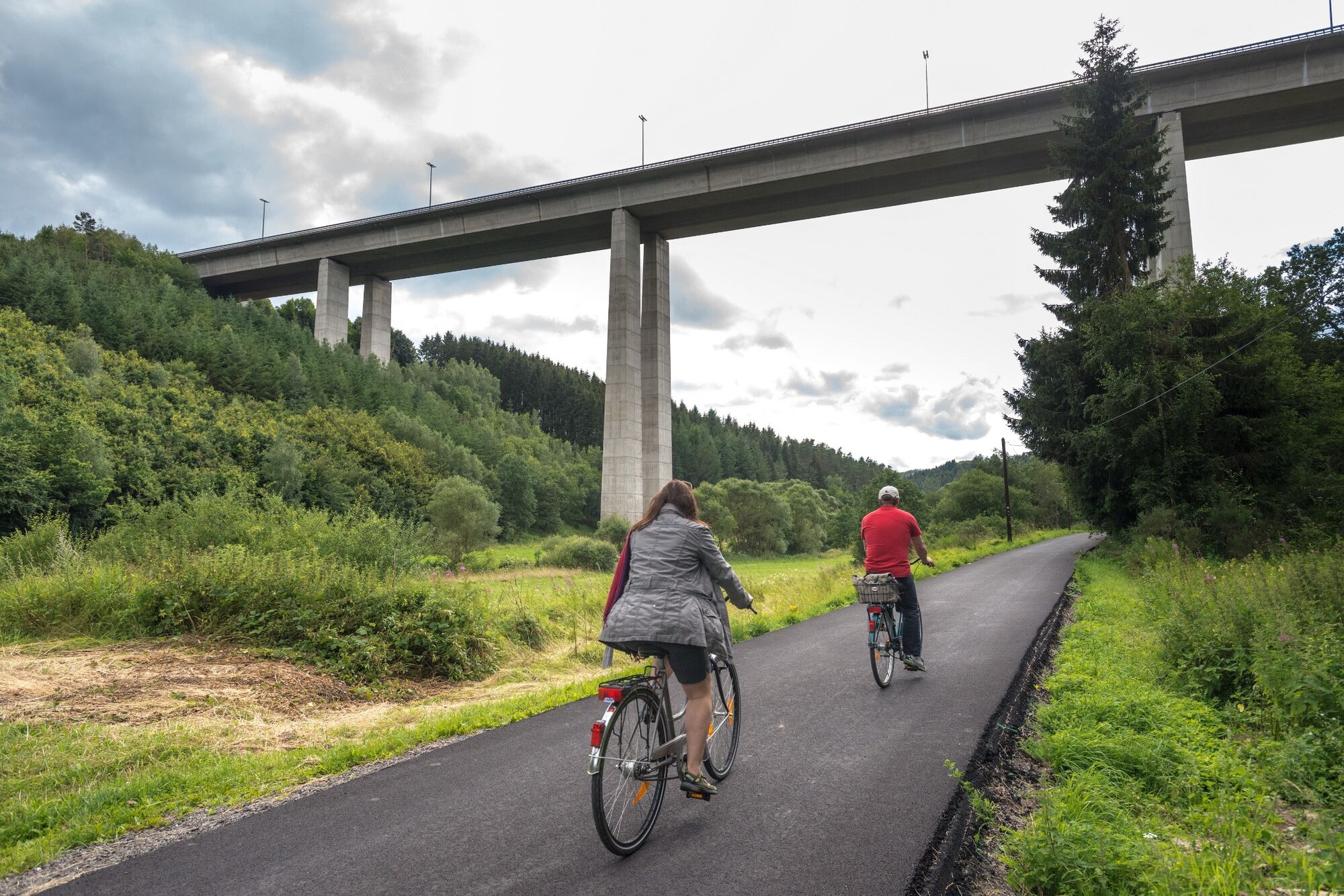
Outside the metropolitan area of St. Vith, 90 percent of the route takes you through the High Fens-Eifel Nature Park. That means quiet roads and a lot of woodland along the way. The beautiful Our valley by the border to the German Eifel-Ardennes region is the icing on the cake.
- Teškoća
-
srednje
- Vrednovanje
-
- Wegverlauf
-
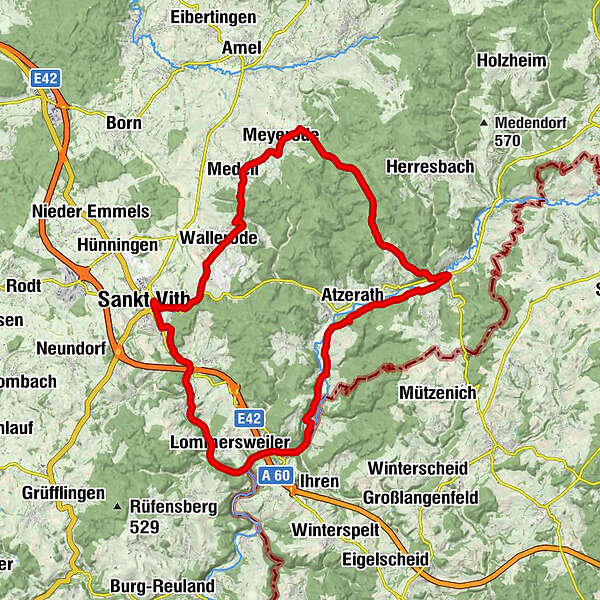
Sankt Vith0,2 kmWallerode3,9 kmMedell6,9 kmAn Terres'e8,6 kmMeyerode8,9 kmZum Burghof17,0 kmSchönberg17,5 kmHotel-Restaurant -Whiskybar"Zur Alten Schmiede"17,5 kmAtzerath20,8 kmRödgen23,1 kmAlfersteg23,5 kmWeppeler25,3 kmSteinebrück27,1 kmSteinebrück27,5 kmNeidingen32,1 kmBreitfeld33,5 kmWiesenbach33,8 kmSt.-Bartholomäus-Kapelle34,0 kmZur Alten Mühle34,3 kmSankt Vith36,0 km
- Beste Jahreszeit
-
sijveljožutrasvilipsrpkolrujlisstupro
- Höchster Punkt
- 586 m
- Zielpunkt
-
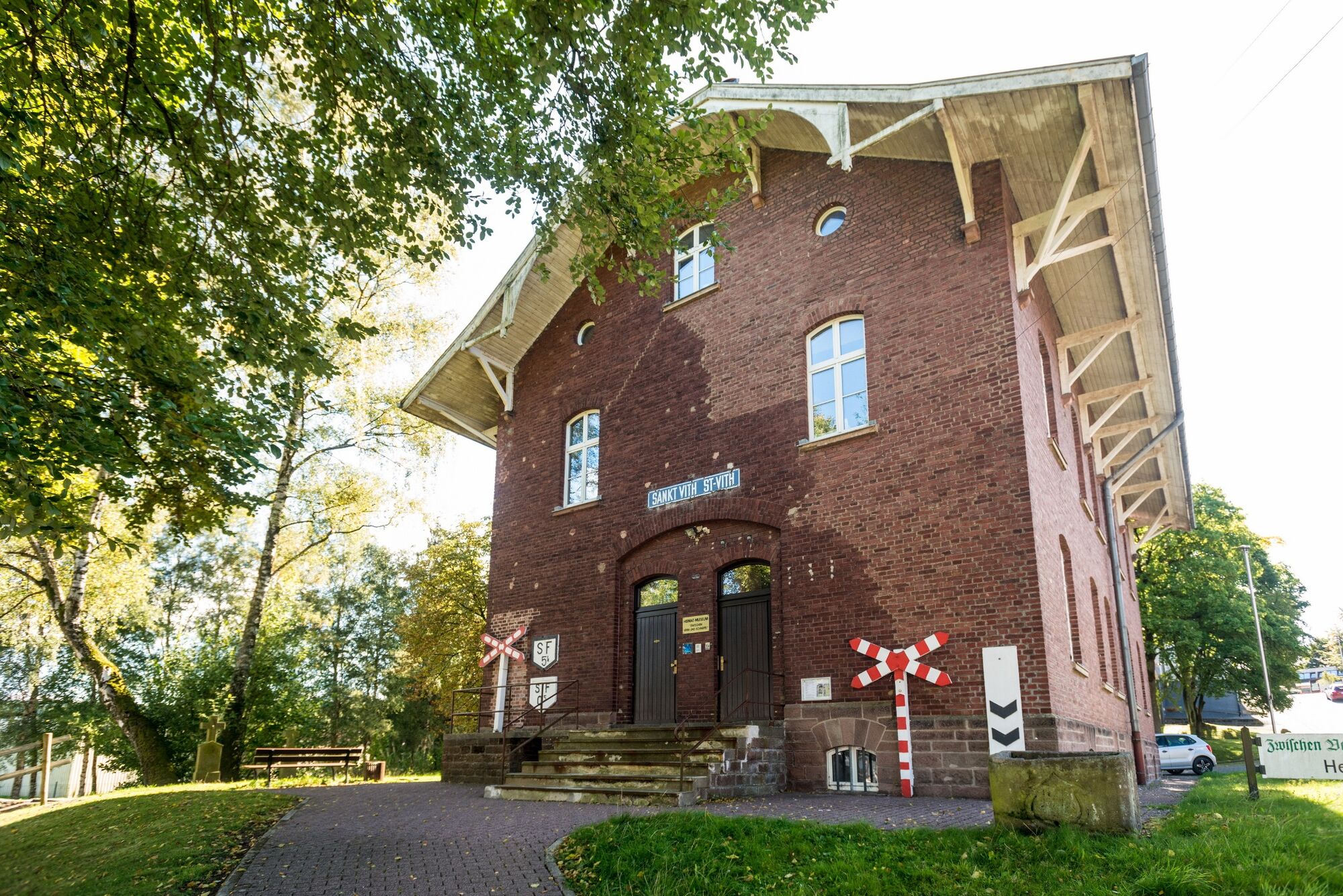
St. Vith, at the “Triangel” Cultural Centre, Vennbahnstrasse 2
- Höhenprofil
-
 © outdooractive.com


- Autor
-
Die Tour Ovelo - Between Our and Amel wird von outdooractive.com bereitgestellt.
GPS Downloads


Opće informacije
Einkehrmöglichkeit
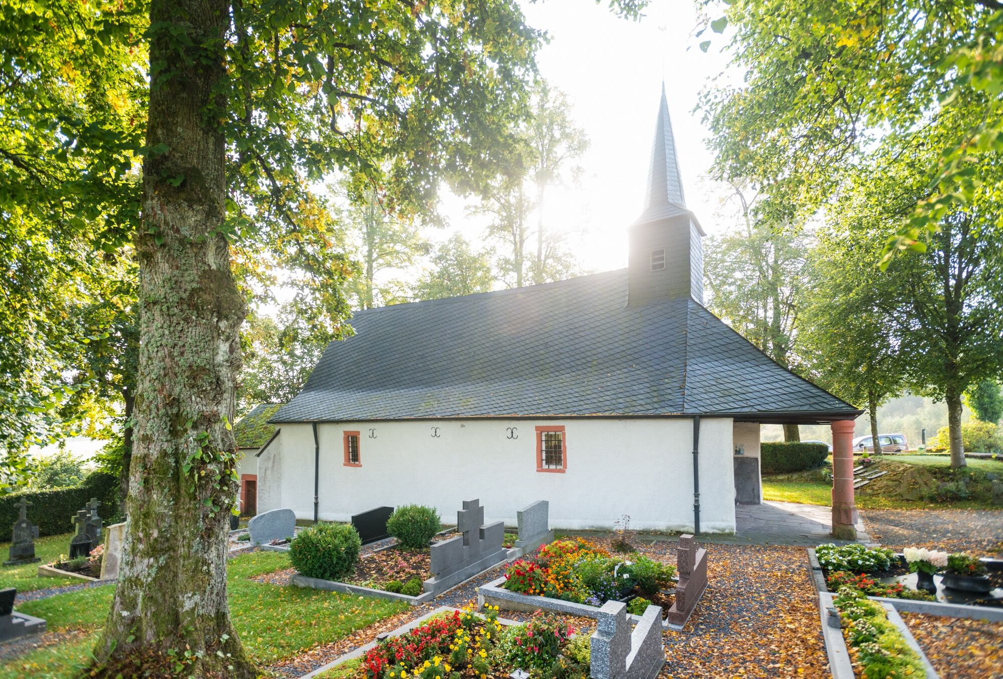
Kulturell/Historisch
Flora
Aussichtsreich
Weitere Touren in den Regionen


