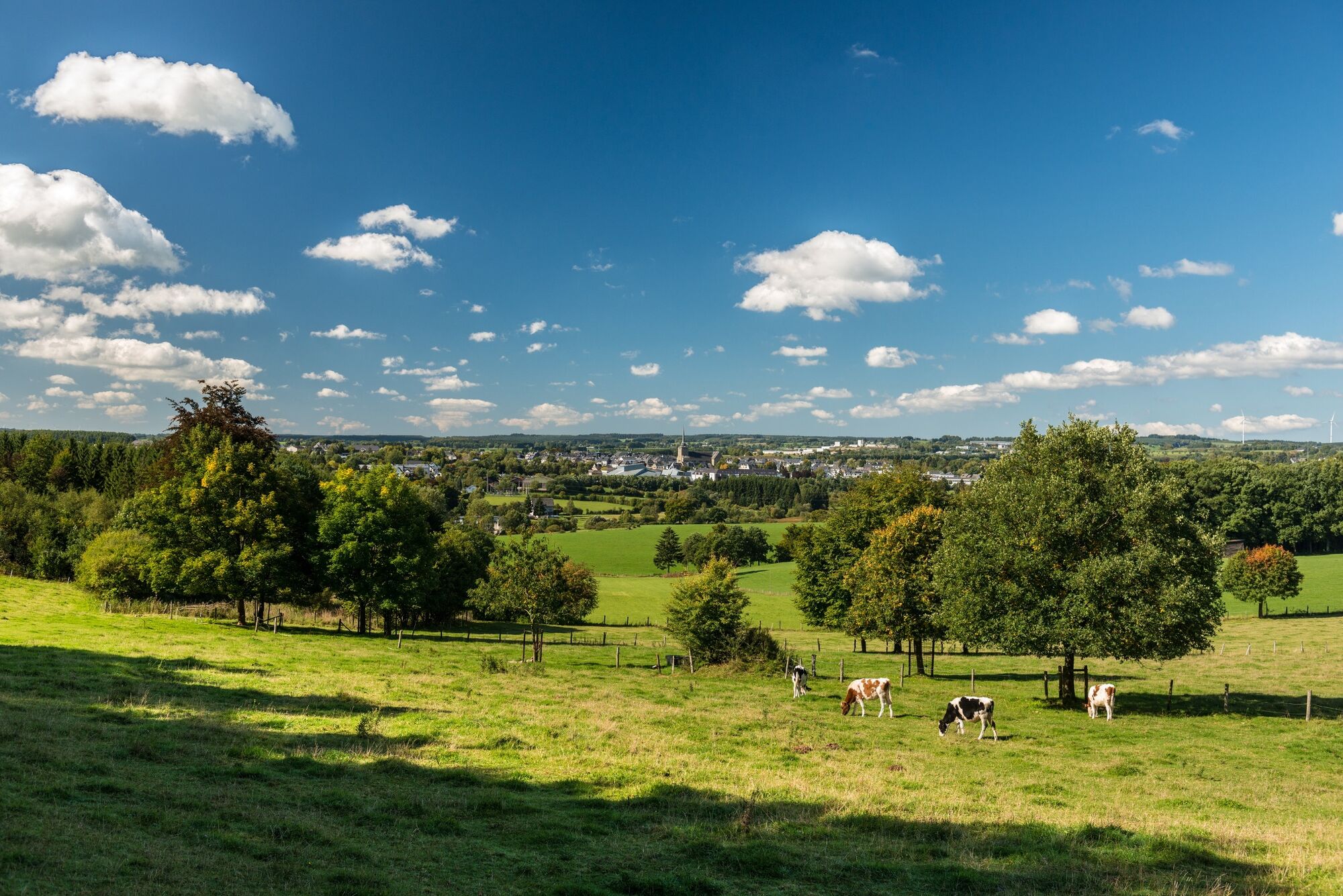
© Tourismusagentur Ostbelgien - Dominik Ketz

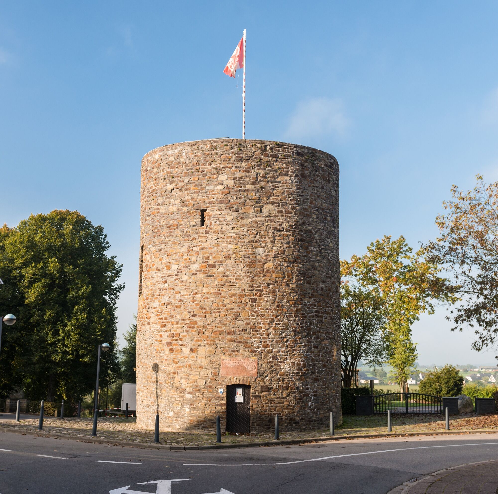
© Tourismusagentur Ostbelgien - Dominik Ketz

© Tourismusagentur Ostbelgien - Dominik Ketz

- Kratak opis
-
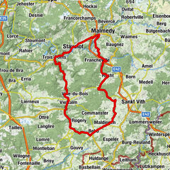
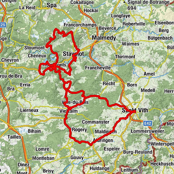
The tour of legendary climbs has been designed for athletically trained cyclists. With a total length of 135 km and a profile that features over 2000 metres of climb, this tour is among the toughest of sporting challenges.
- Teškoća
-
teška
- Vrednovanje
-
- Wegverlauf
-
Sankt Vith0,0 kmNeundorf3,6 kmCrombach5,8 kmBraunlauf7,9 kmMaldingen9,9 kmBochholz12,9 kmLa Concession15,5 kmJoffen16,7 kmLongchamps17,9 kmChez Mika19,2 kmHonvelez20,4 kmRésidence Le Vieux Moulin23,1 kmSalmchâteau24,5 kmÉglise Saint-Servais24,6 kmVielsalm26,8 kmVille-du-Bois28,8 kmFerme de la Reine des Prés31,0 kmÉglise Saint-Antoine31,8 kmPetit-Thier31,9 kmChamp des Taches33,7 kmMont-le-Soie34,0 kmAl Sâthe35,6 kmLe Gastromme38,2 kmGrand-Halleux38,4 kmÉglise Saint-Laurent38,4 kmPafflard39,7 kmLa Vaux40,8 kmNeuville41,7 kmDessous Glin45,7 kmLes Hézalles47,5 kmÉglise Saint-Remacle48,1 kmRafroin48,8 kmMont de Fosse49,1 kmDreibrücken51,6 kmDreibrücken52,0 kmPleine Heid53,0 kmJonkai54,1 kmLes Chaussées54,4 kmLe Hollet54,7 kmHêtre de Spay55,1 kmAisomont55,9 kmVal de Wanne56,3 kmVal de Wanne puzzle packet56,4 kmWanne57,3 kmLa Métairie Auberge-Restaurant57,3 kmWanneranval58,5 kmAu Chemin de Stavelot59,4 kmChapelle Saint-Laurent64,7 kmStablo65,0 kmChapelle St. Louis65,3 kmAmermont68,0 kmCol de la Haute Levée (507 m)70,3 kmRuy74,4 kmAndrimont76,5 kmLassise79,6 kmCour79,8 kmDevant la Ville80,0 kmPrés Colar80,0 kmLes Rafroyages80,2 kmCroquai80,2 kmBorgoumont82,5 kmBrasserie Le Vert de Pommier84,2 kmLa Gleize84,4 kmPachis de Ha86,7 kmDessous Longue Heid87,6 kmCascade de Coo88,8 kmPetit Cascade de Coo88,8 kmPetit Coo88,8 kmDreibrücken91,2 kmBrume94,1 kmChapelle Saint-Hilaire94,2 kmGrand Pré98,0 kmBasse-Bodeux98,6 kmFred's corner98,8 kmPré du Moulin99,6 kmHenri Moulin101,1 kmDreibrücken102,8 kmÉglise Saint-Remacle103,0 kmLes Hézalles103,3 kmDessous Glin105,2 kmGrand-Halleux110,1 kmÉglise Saint-Laurent110,3 kmLes Linaigrettes112,5 kmRoche de Priesmont115,5 kmVielsalm115,7 kmDessous le Tienne Messe115,9 kmVille-du-Bois117,3 kmFerme de la Reine des Prés119,7 kmÉglise Saint-Antoine120,5 kmPetit-Thier120,5 kmPoteau123,3 kmSankt Vith134,5 km
- Beste Jahreszeit
-
sijveljožutrasvilipsrpkolrujlisstupro
- Höchster Punkt
- 578 m
- Zielpunkt
-
St.Vith, town hall square
- Höhenprofil
-
 © outdooractive.com
- Autor
-
Die Tour Tour of legendary climbs wird von outdooractive.com bereitgestellt.
GPS Downloads


Weitere Touren in den Regionen